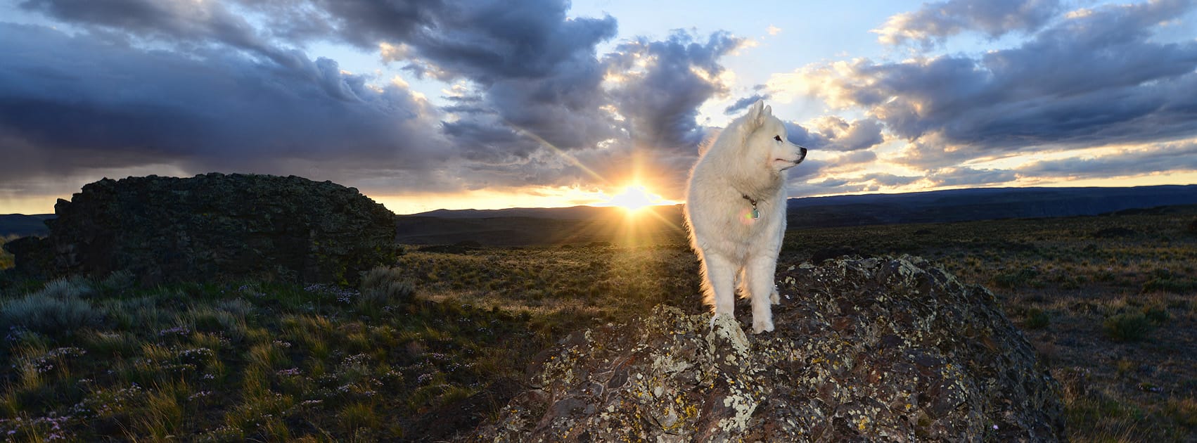
Jamie's Highway

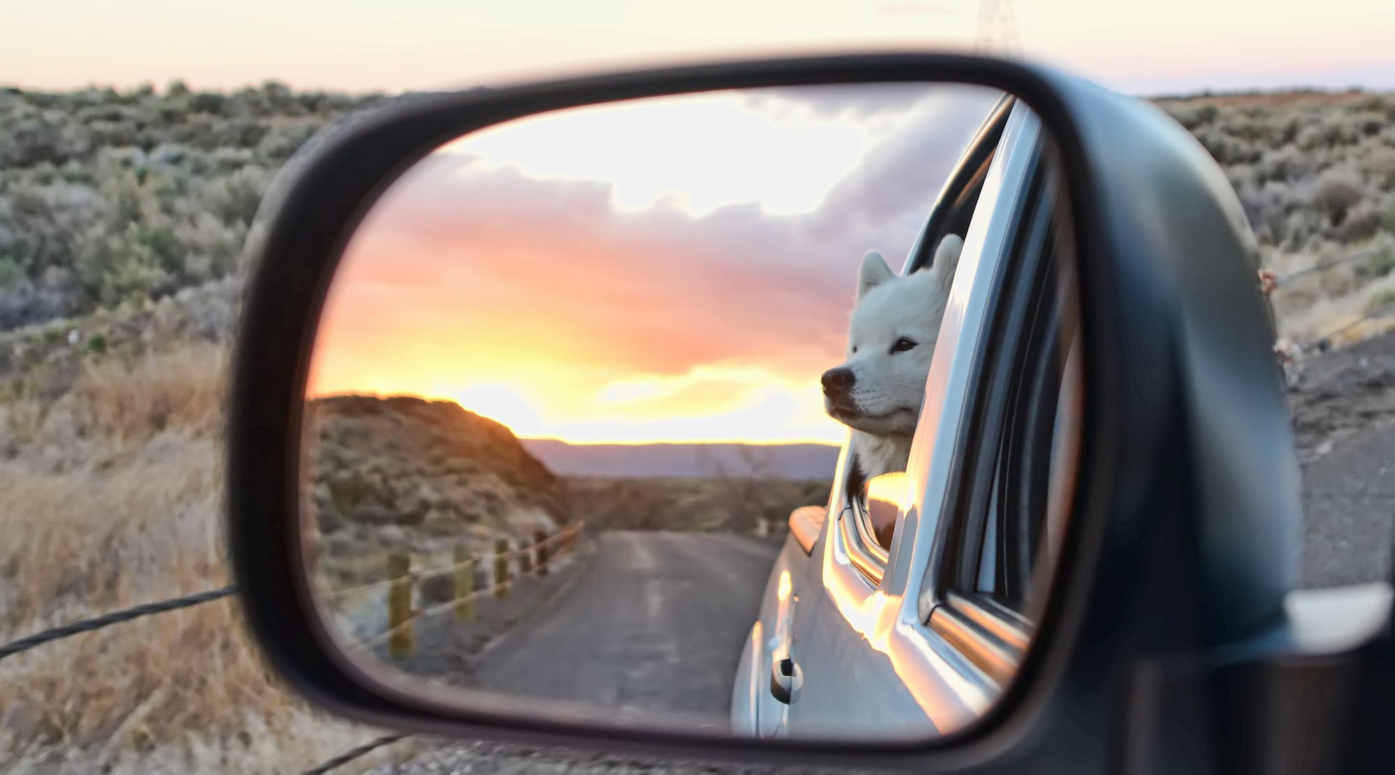
When people ask where I'm from, I sometimes answer "I-90," because I've lived my entire life within a few miles of I-90 in Washington, Illinois, and Montana. So it's no surprise that I-90 has played a big role in the lives of our dogs as well.
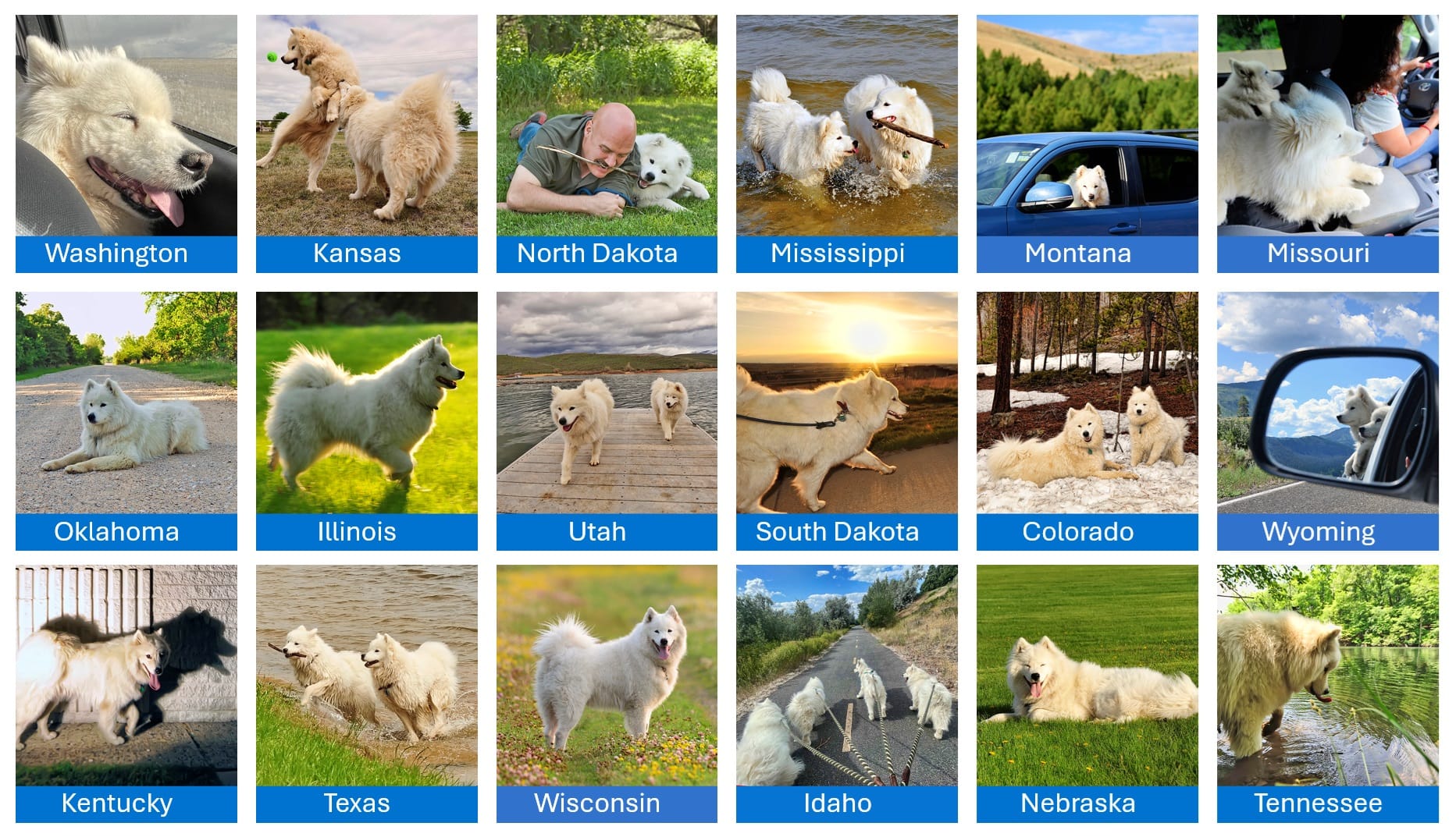
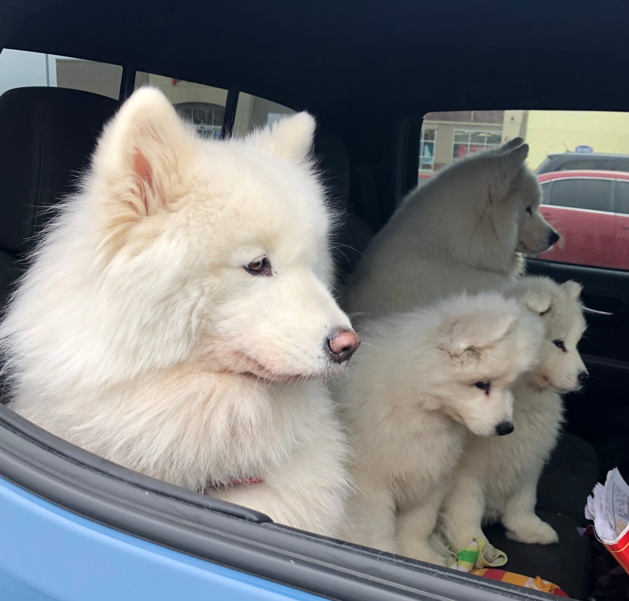
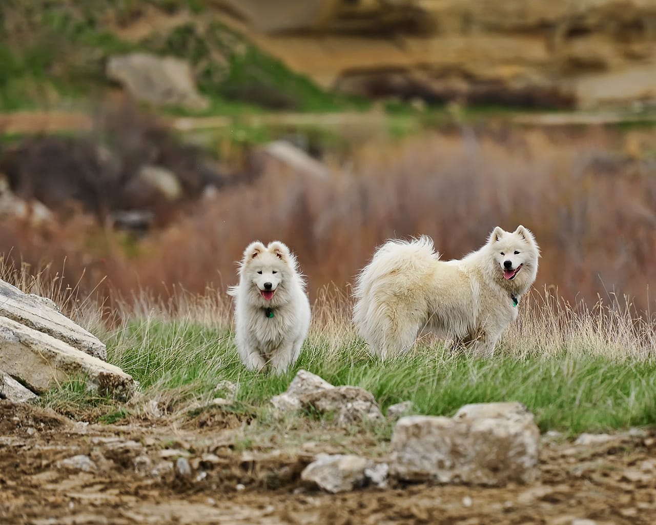
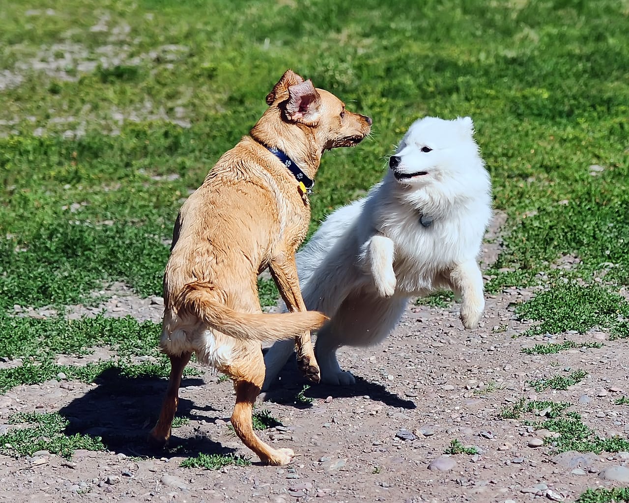
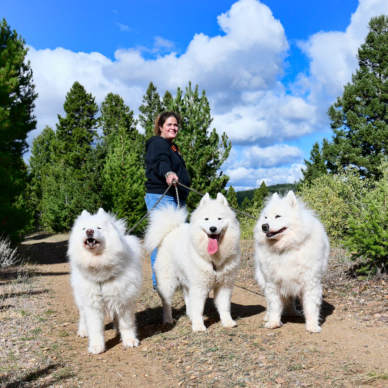
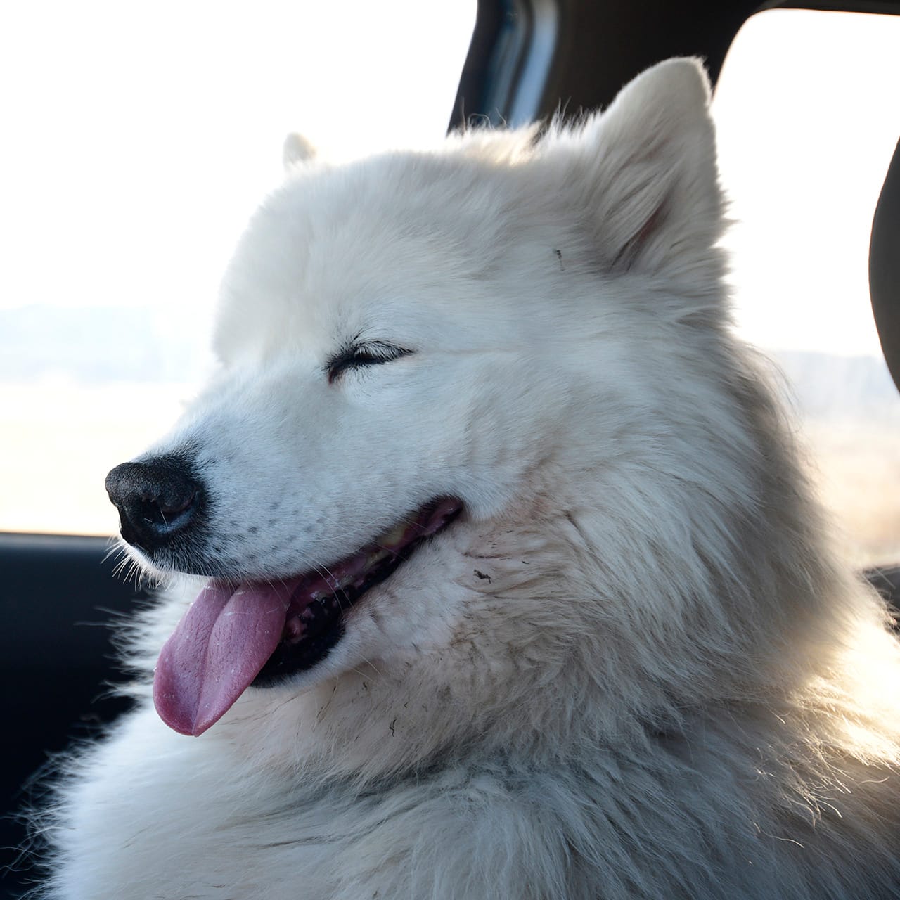
Jamie lived a life of many road trips, and the road trip he took more than any other was along the westernmost 600 miles of I-90, between Seattle and Butte. He first covered those miles on a trip to North Dakota and South Dakota when he was 7 months old (before Alice was born), and over the next nine years he and Alice traveled that highway to destinations in Idaho, Montana, Wyoming, Colorado, Nebraska, Kansas, Oklahoma, Minnesota, Wisconsin, Iowa, Illinois, Missouri, Arkansas, Louisiana, Indiana, Kentucky, Tennessee, Georgia, Alabama, and Mississippi. Later in life, after we moved from Seattle to Butte, Jamie accompanied Nancy and Isaac on many trips between Seattle and Butte as well.
After living his first 10 years in Seattle, Jamie led his pack east on I-90 to settle down in Butte, Montana. That trip was one of over 20 times that Jamie traveled that stretch, which I've decided to rename the Jamie Samoyed Memorial Highway (JSMH), because that's what it will always be to me. I drive this route several times a year these days, and there are memories of Jamie all along the way.
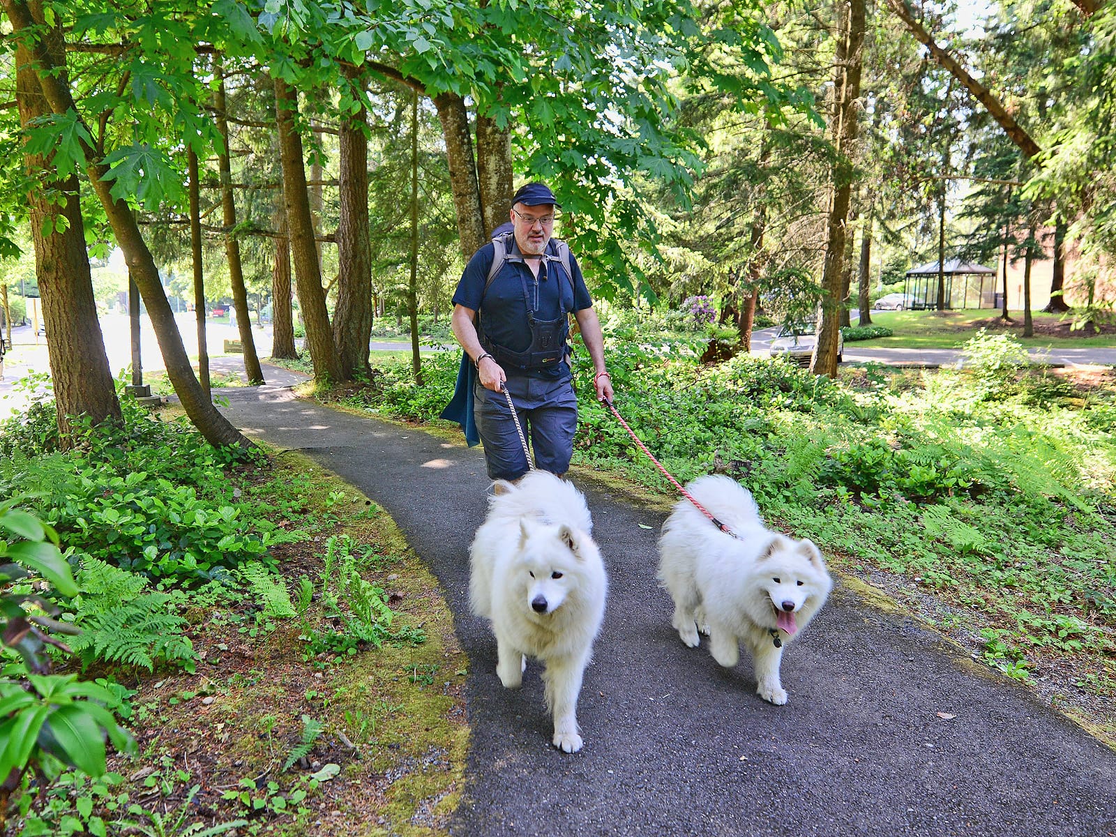
The rest of this post covers some of Jamie's favorite spots along the drive from Seattle to Butte. If you're a longtime follower of Jamie's Facebook page, many of these spots will be familiar, and if you're a Seattle area dog owner you may find some useful information here about where to walk your dog if you take a road trip on I-90.
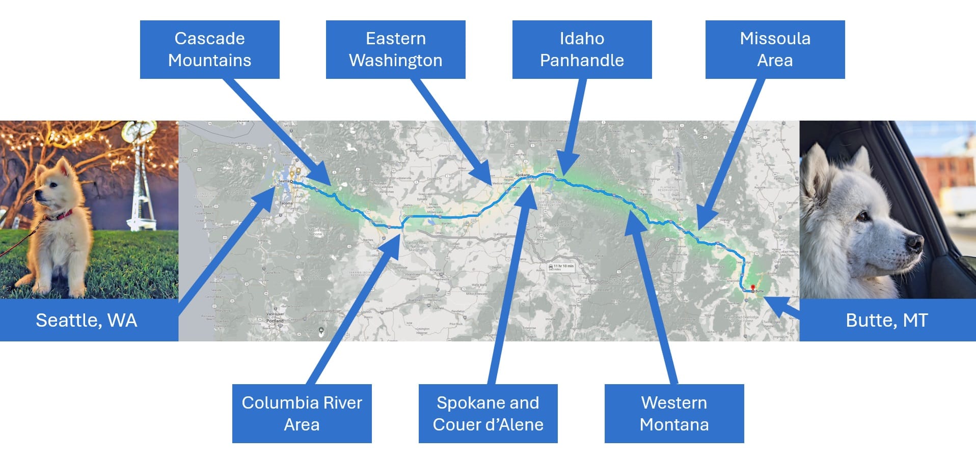
Seattle area
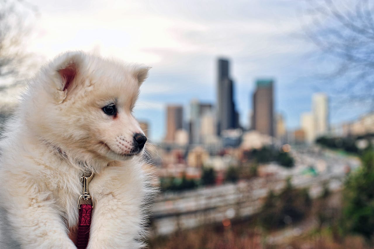
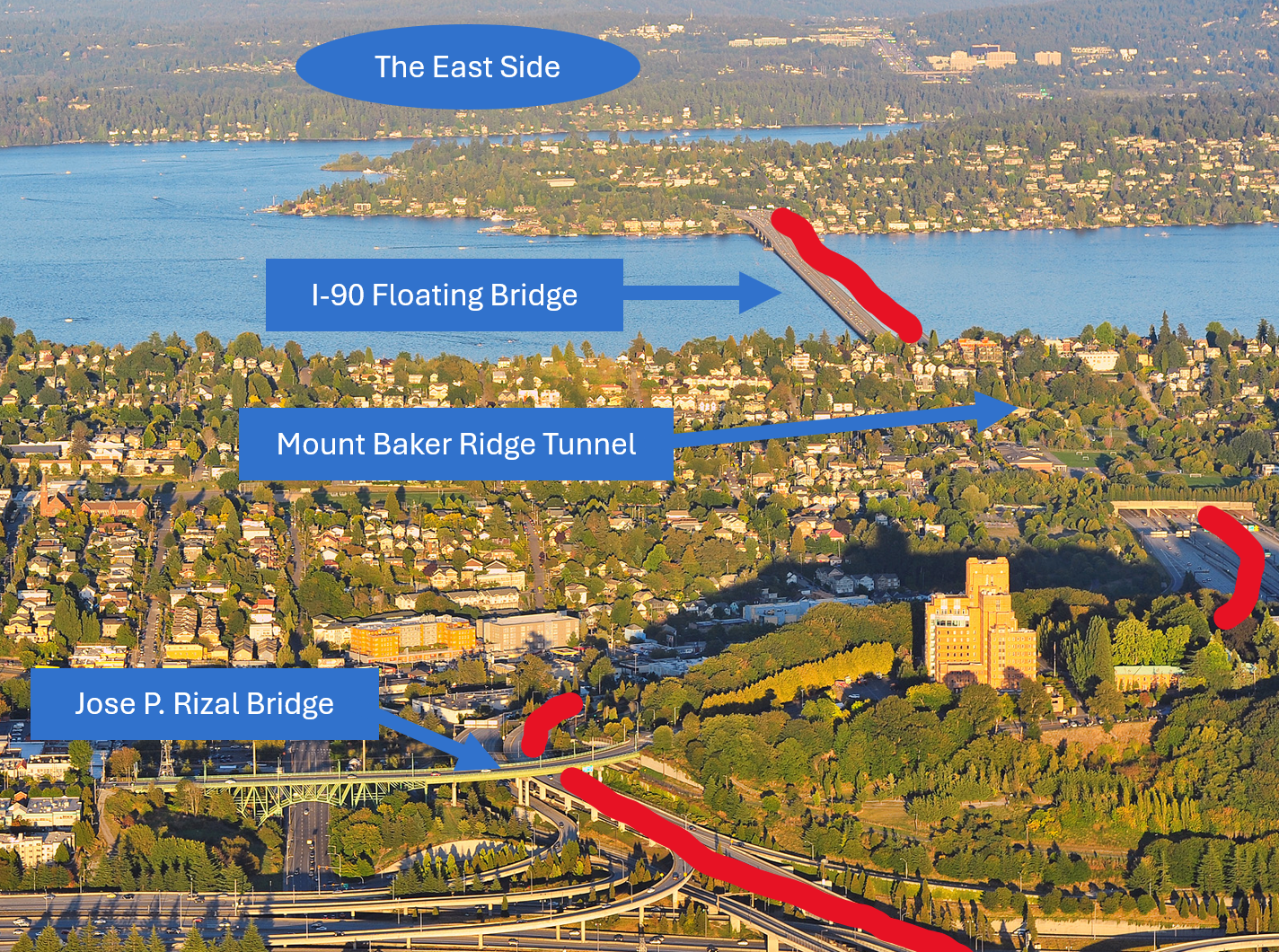
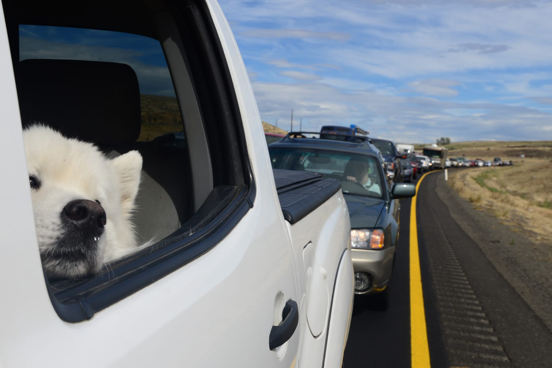
I-90 is the longest interstate highway in the United States, running over 3,000 miles from Seattle to Boston. The starting point for our journey is the western end just south of downtown Seattle near King Street Station.
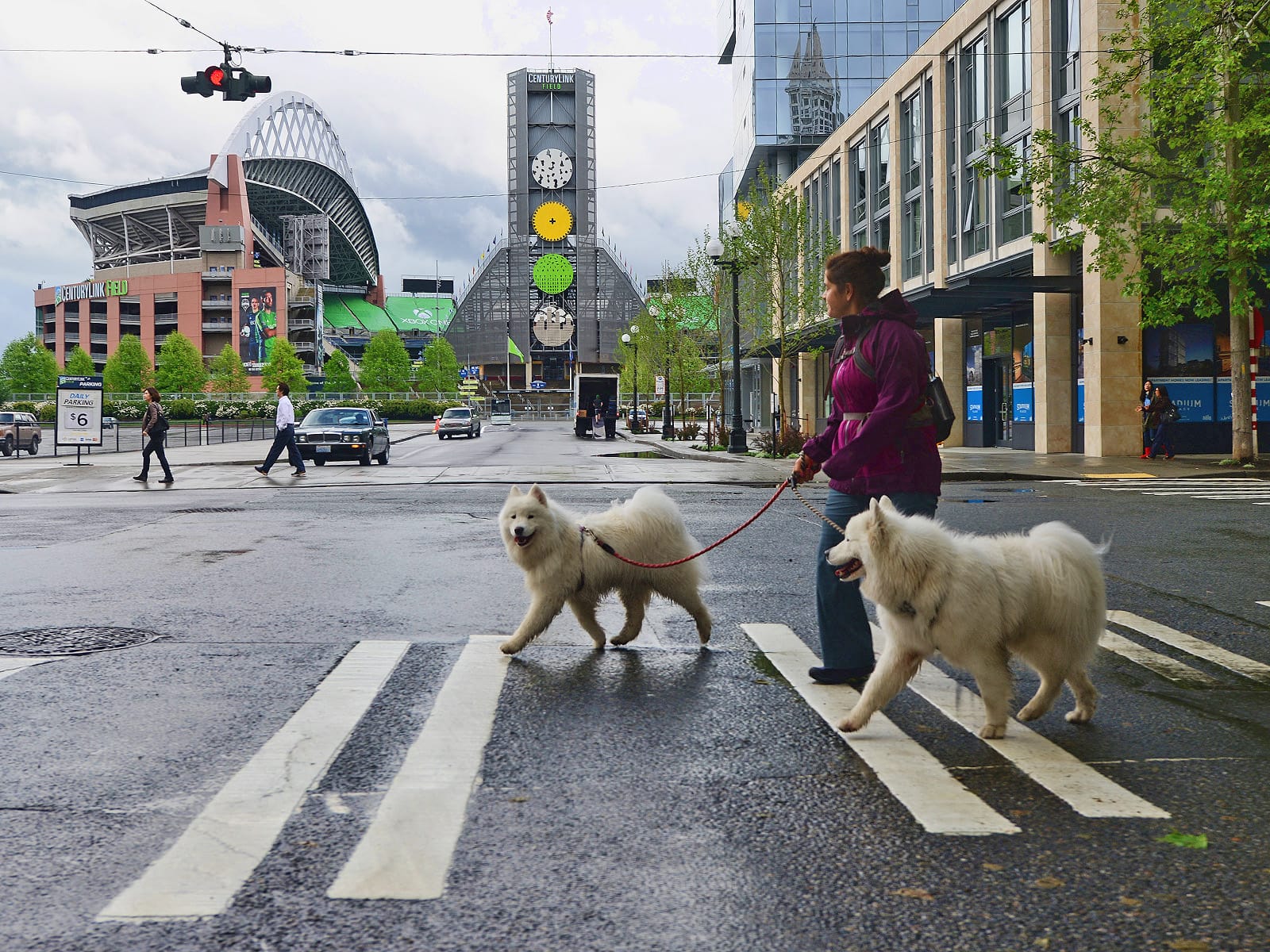
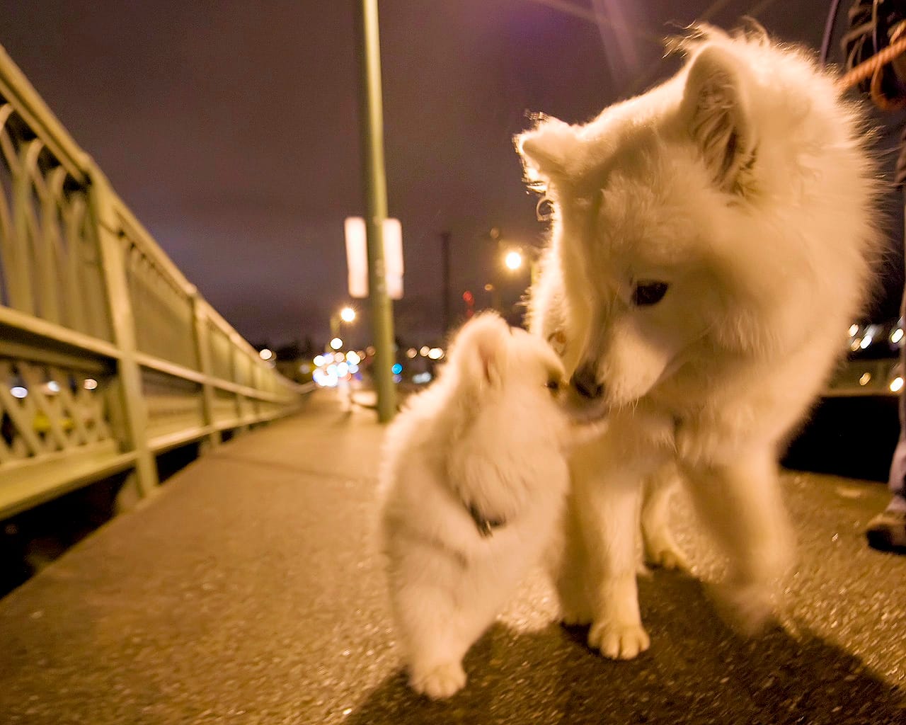
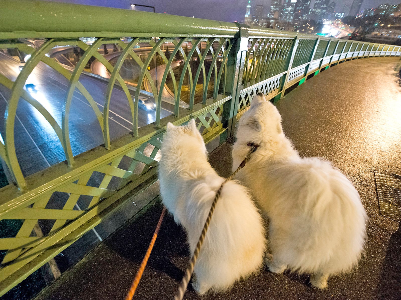
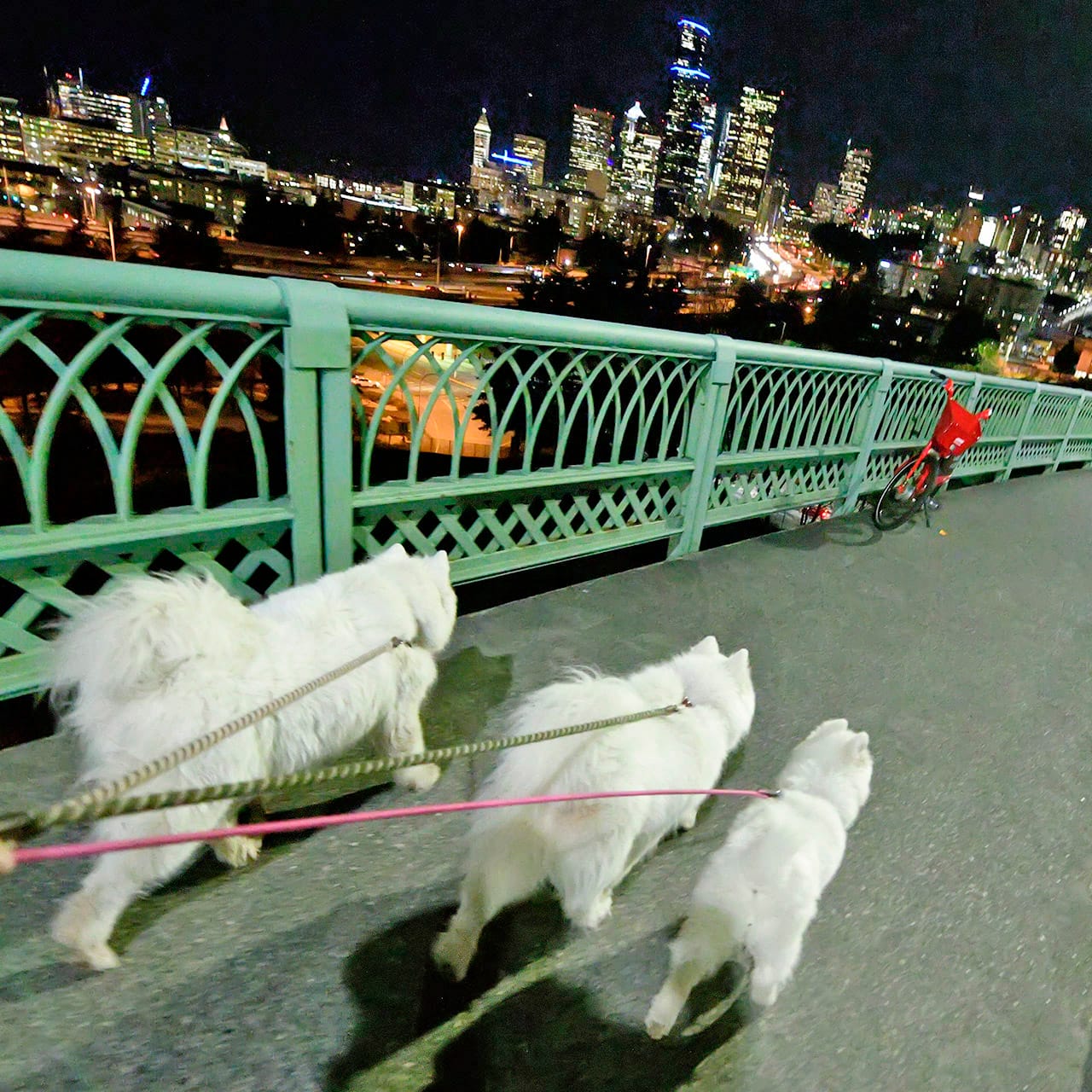
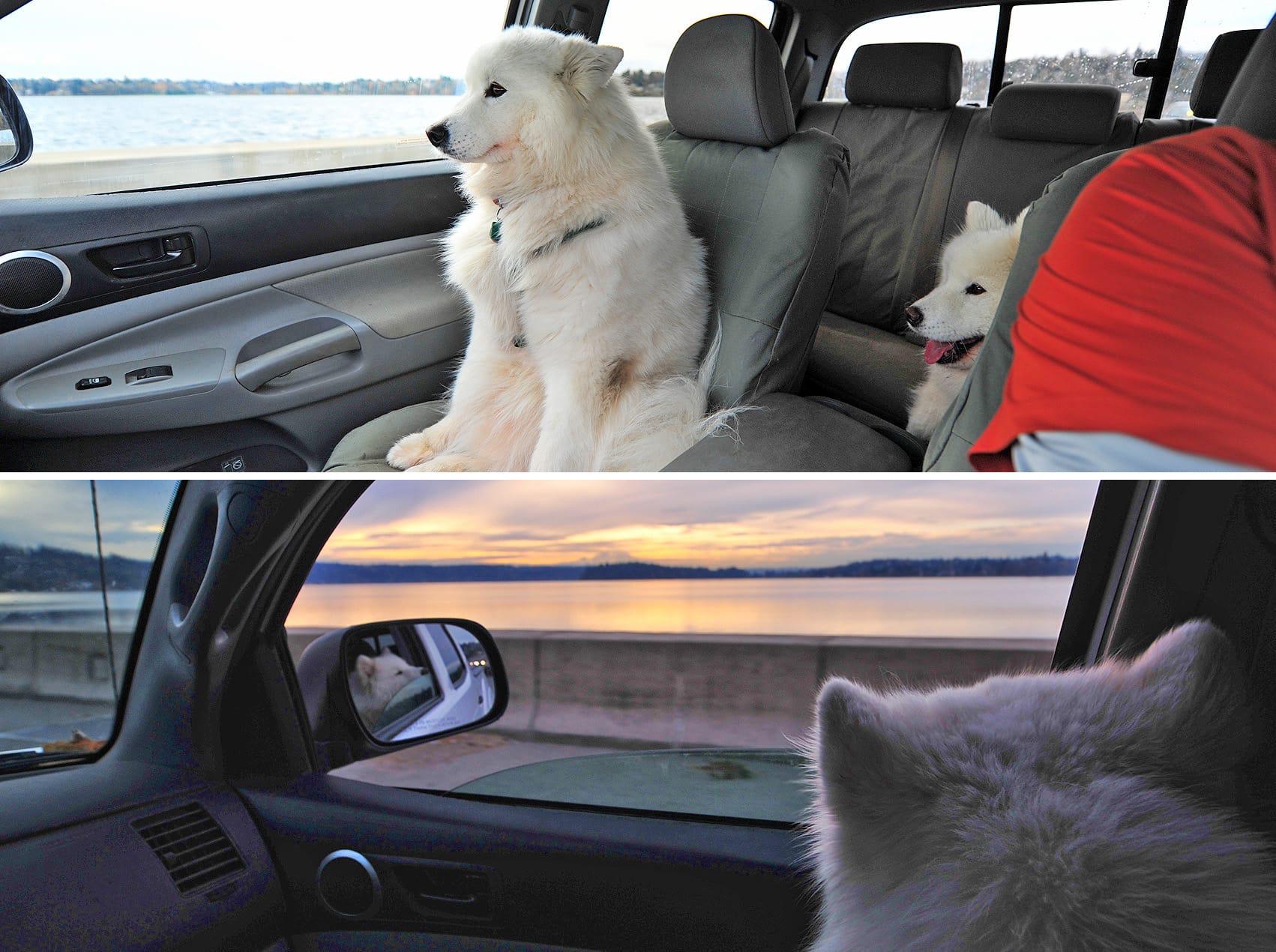
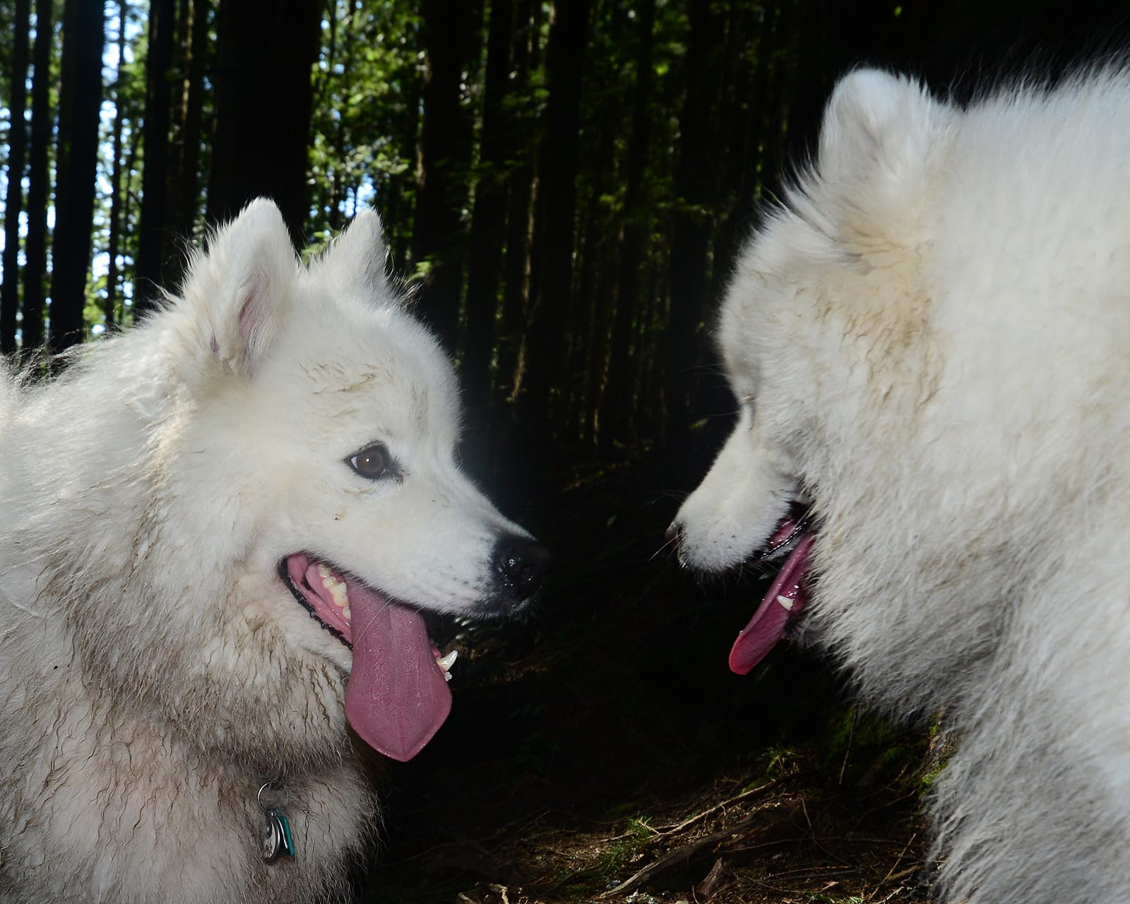
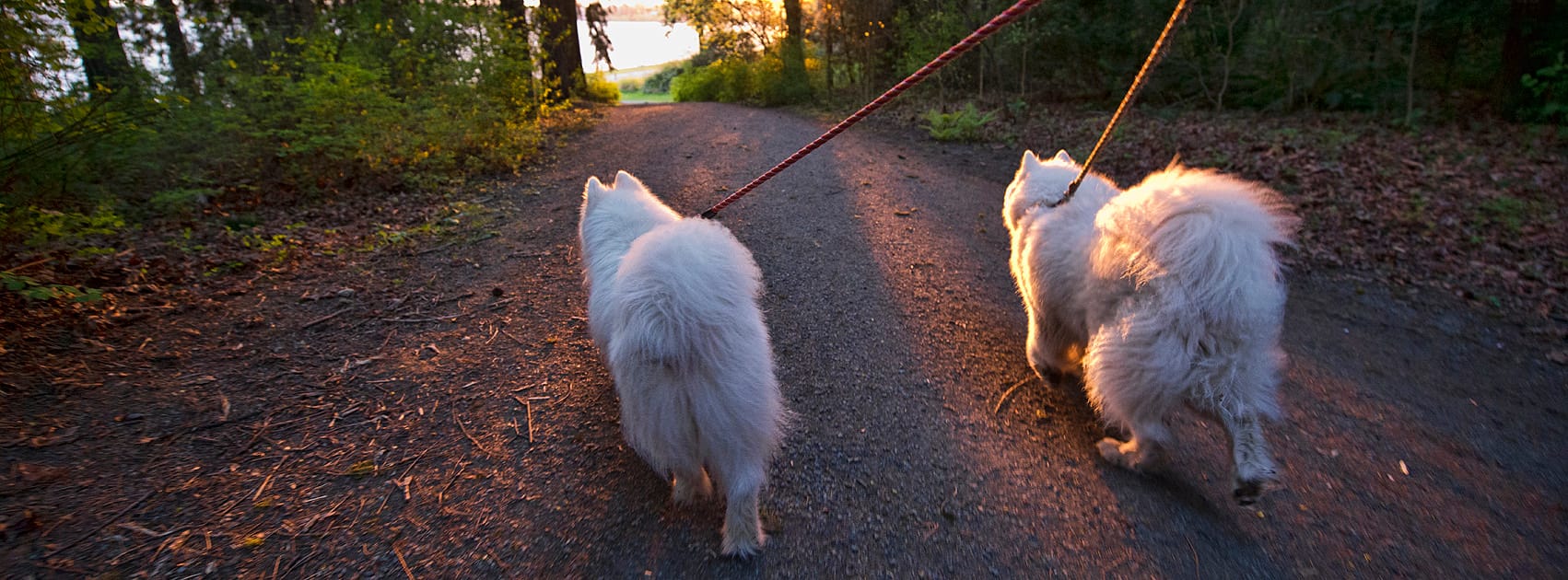
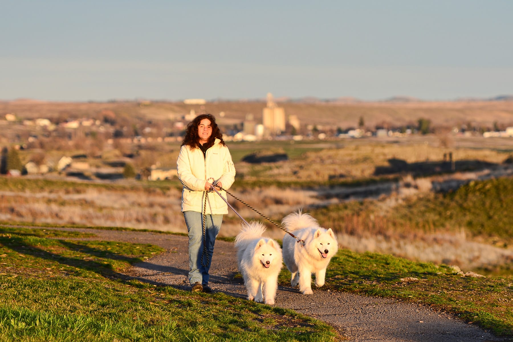
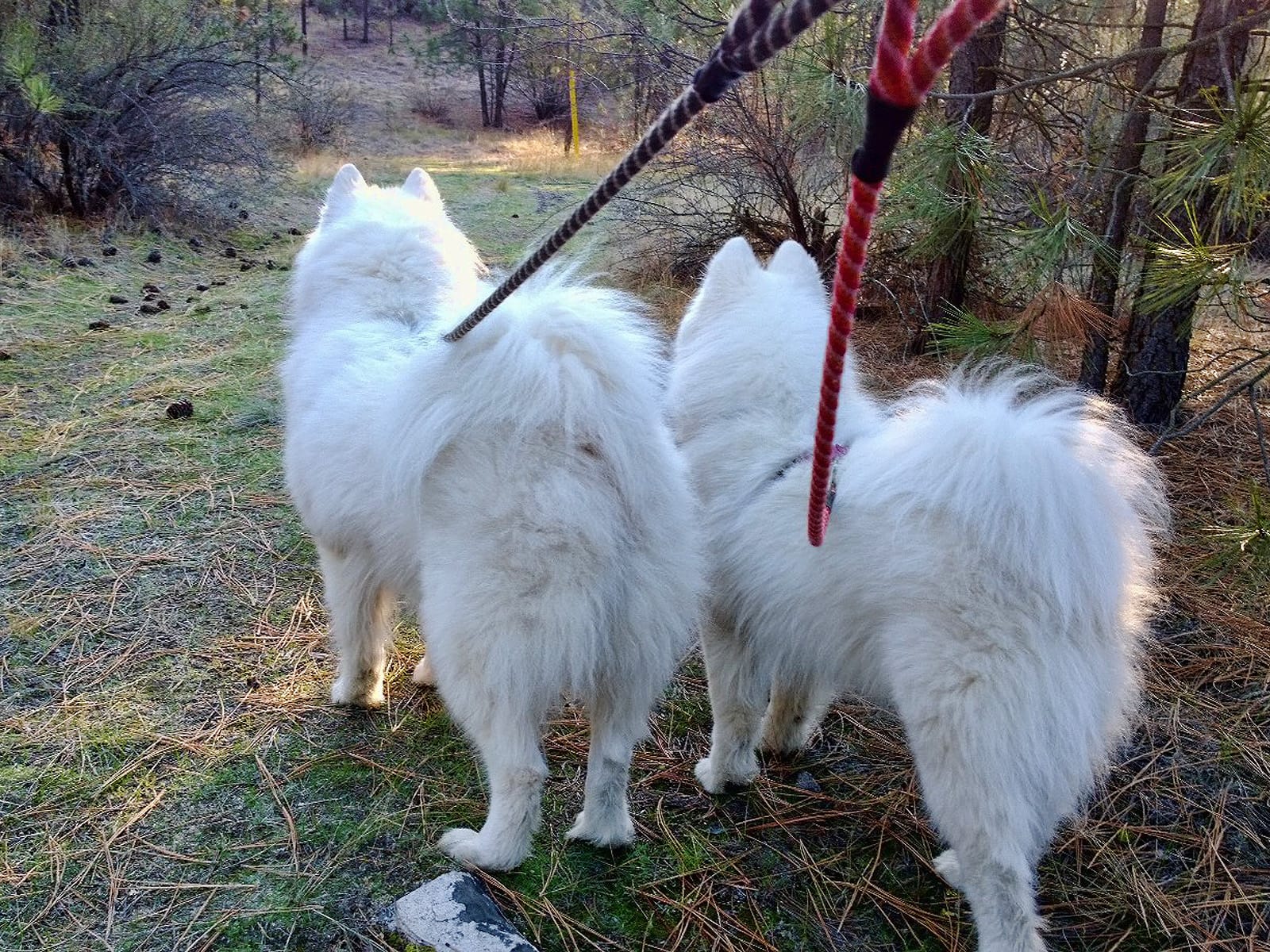
Within the first mile, I-90 passes under the Jose Rizal Bridge at the north end of Beacon Hill. This was the first place Jamie ever set foot in Seattle, on the day he arrived from his birthplace in Canada. It quickly became a favorite spot for late-night walks, when we would park on Beacon Hill and walk across the bridge and down to the Seattle waterfront. Photos: Jamie's first time at Jose Rizal Bridge, taking Alice on her first walk there, Jamie and Alice looking down at I-90 from the bridge, and taking Nancy on a walk across Jose Rizal Bridge just before we moved to Montana.
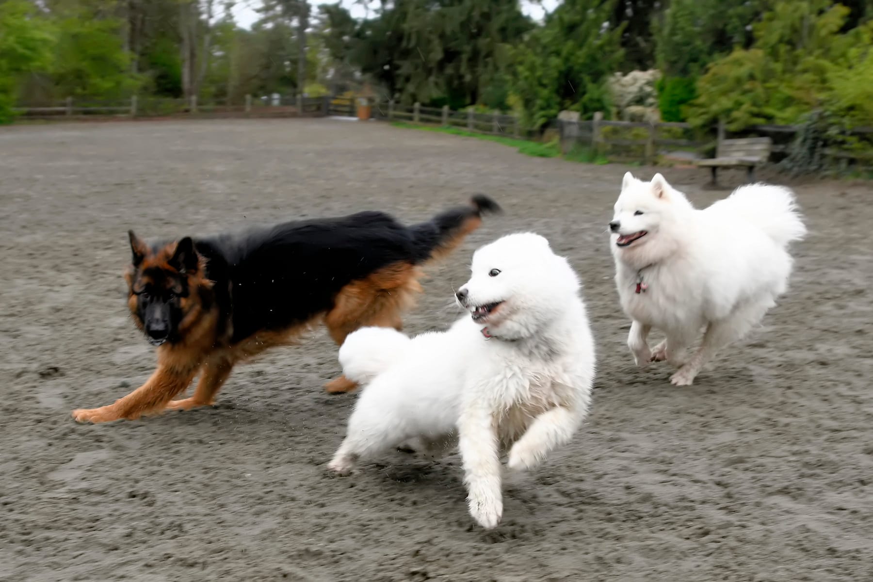
After crossing under the Jose Rizal bridge, I-90 curves right around the end of Beacon Hill and then passes through the Mount Baker Ridge Tunnel and out onto the floating bridge over Lake Washington. The next few miles of I-90 were part of our daily commute from 2010 through 2019 when we lived down in the Rainier Valley and worked on the East Side at Microsoft and/or Google, so Jamie and Alice rode this stretch thousands of time.
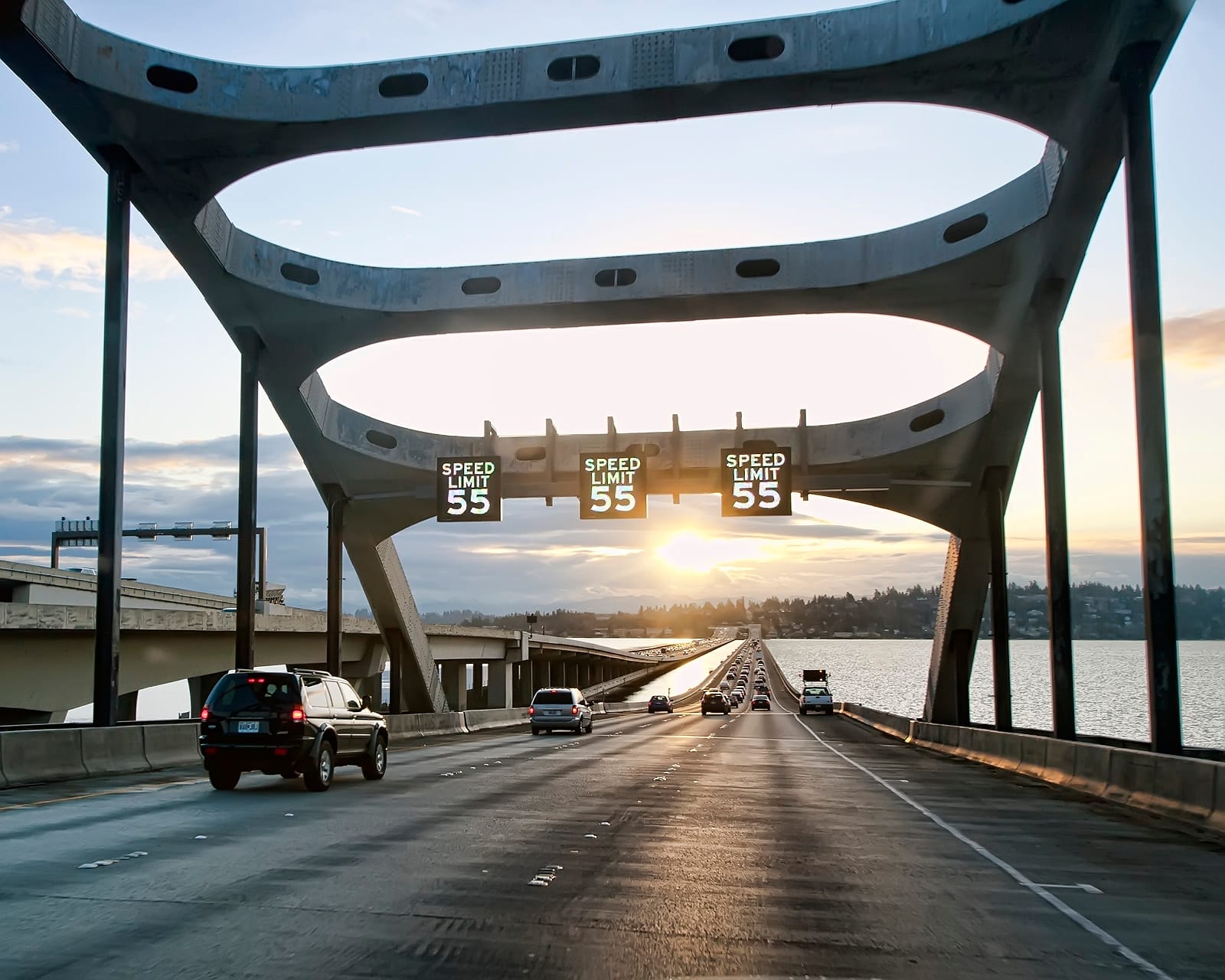
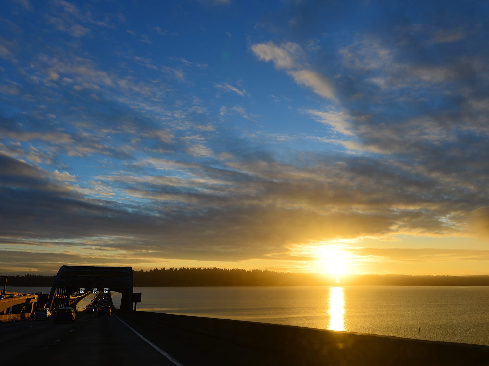
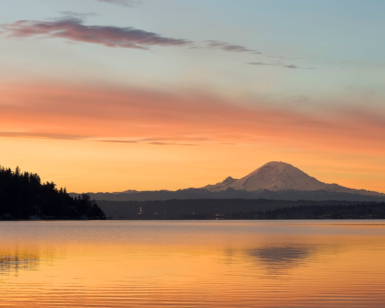
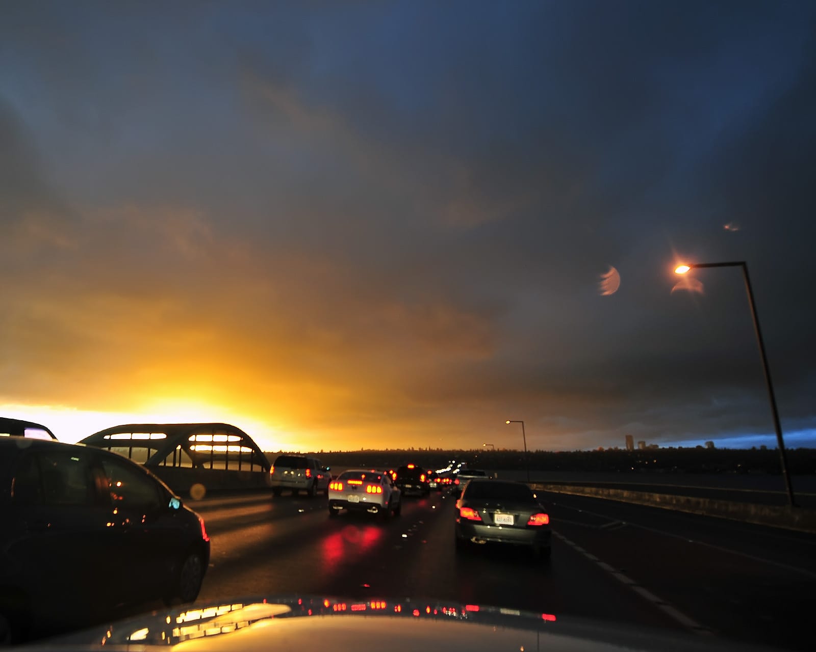
Examples of the view from the floating bridge. We saw numerous sunrises and sunsets from this bridge, and on clear days Mount Rainier was visible across Lake Washington to the southeast.
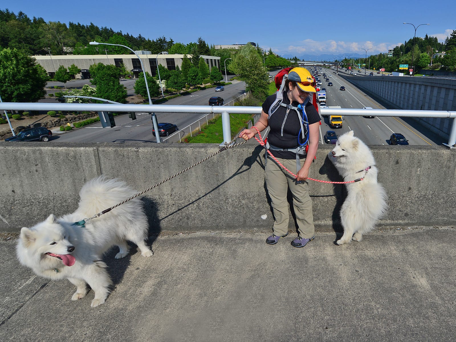
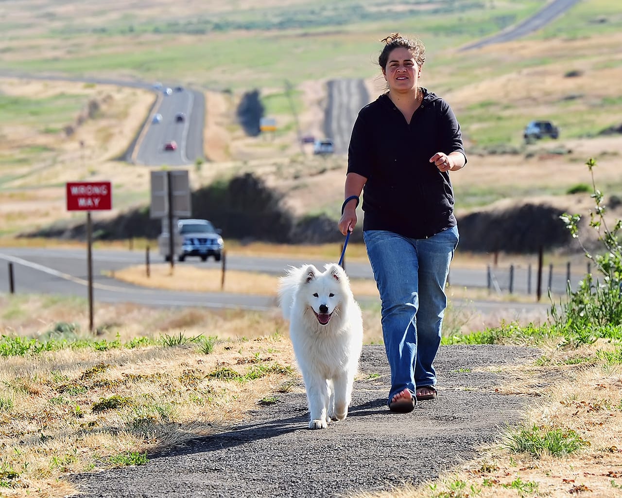
Crossing I-90 near Bellevue Community College on the day we walked 18 miles to work. (We didn't actually work that day, we just spent all day walking and then drove home in Megan's car that we had left at the office the day before.)
After passing I-405 and the East Side, I-90 winds through Issaquah and then starts climbing up into the Cascade Mountains.
Cascade Mountains
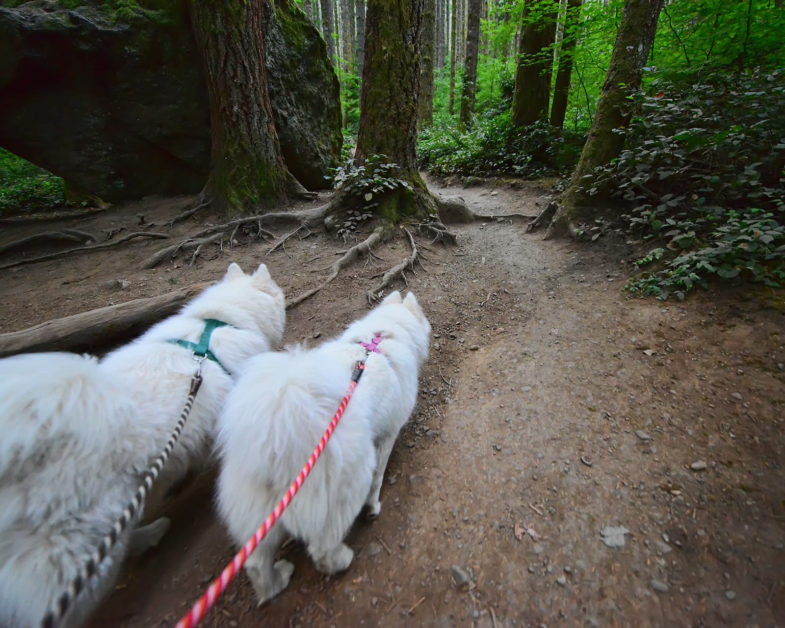
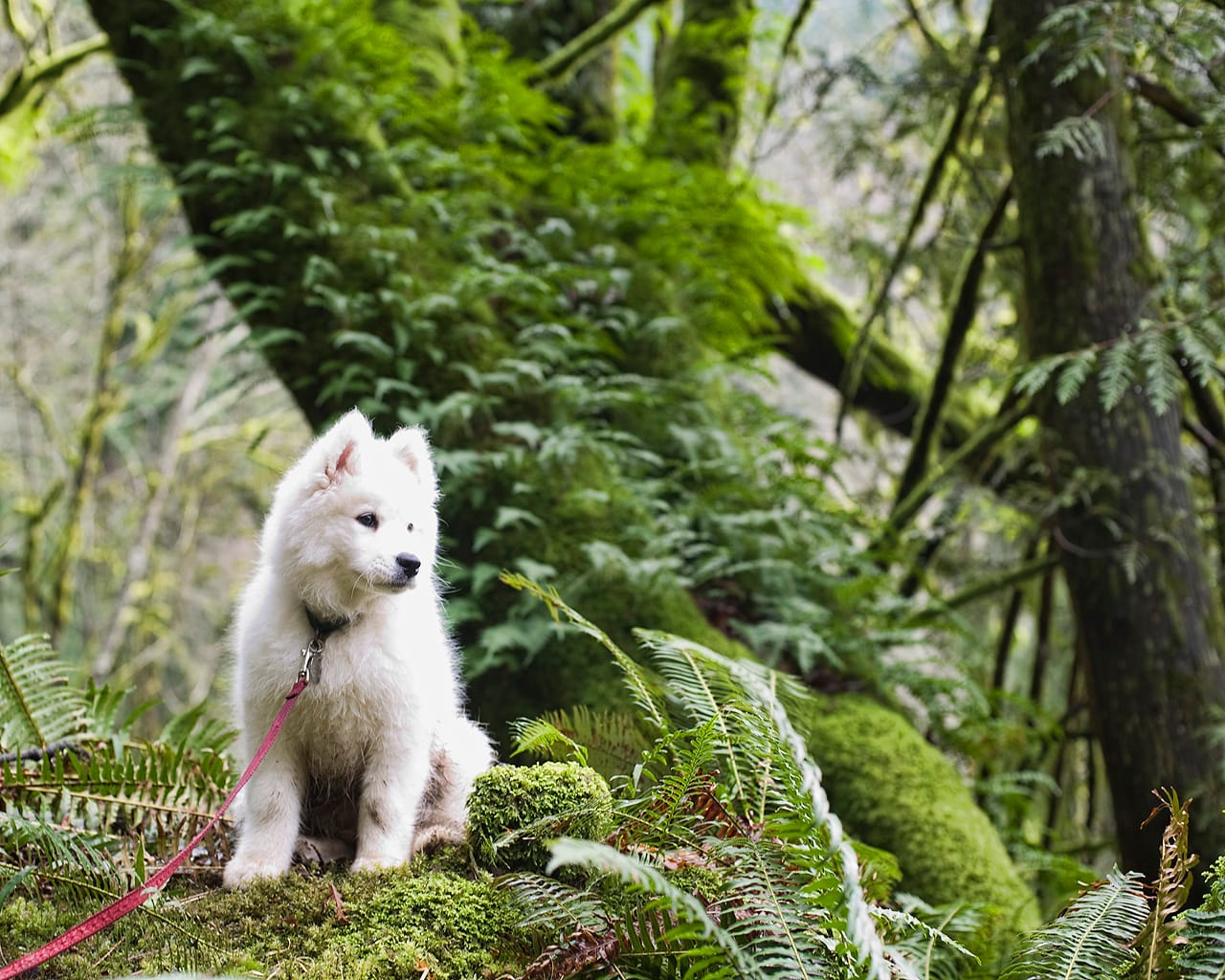
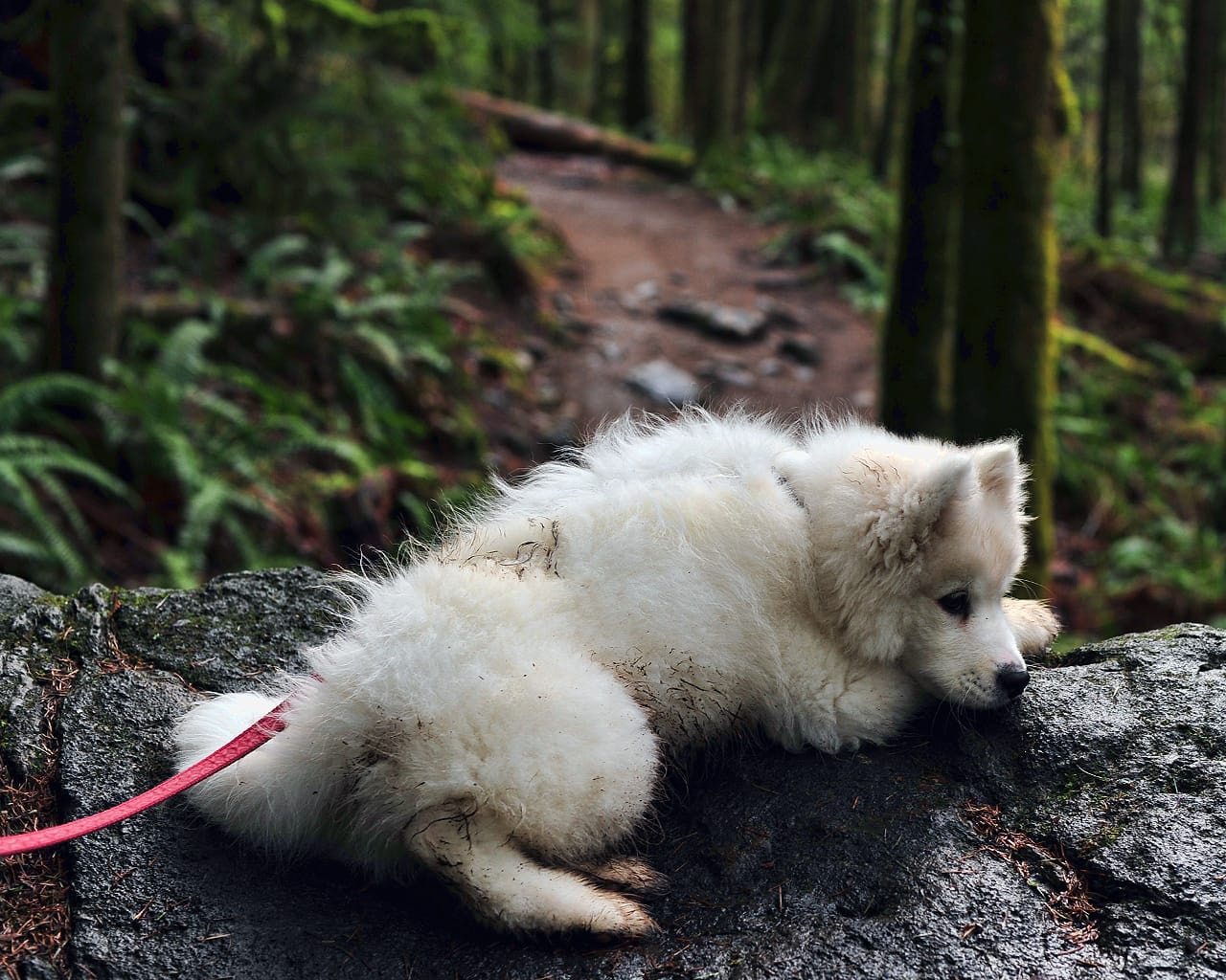
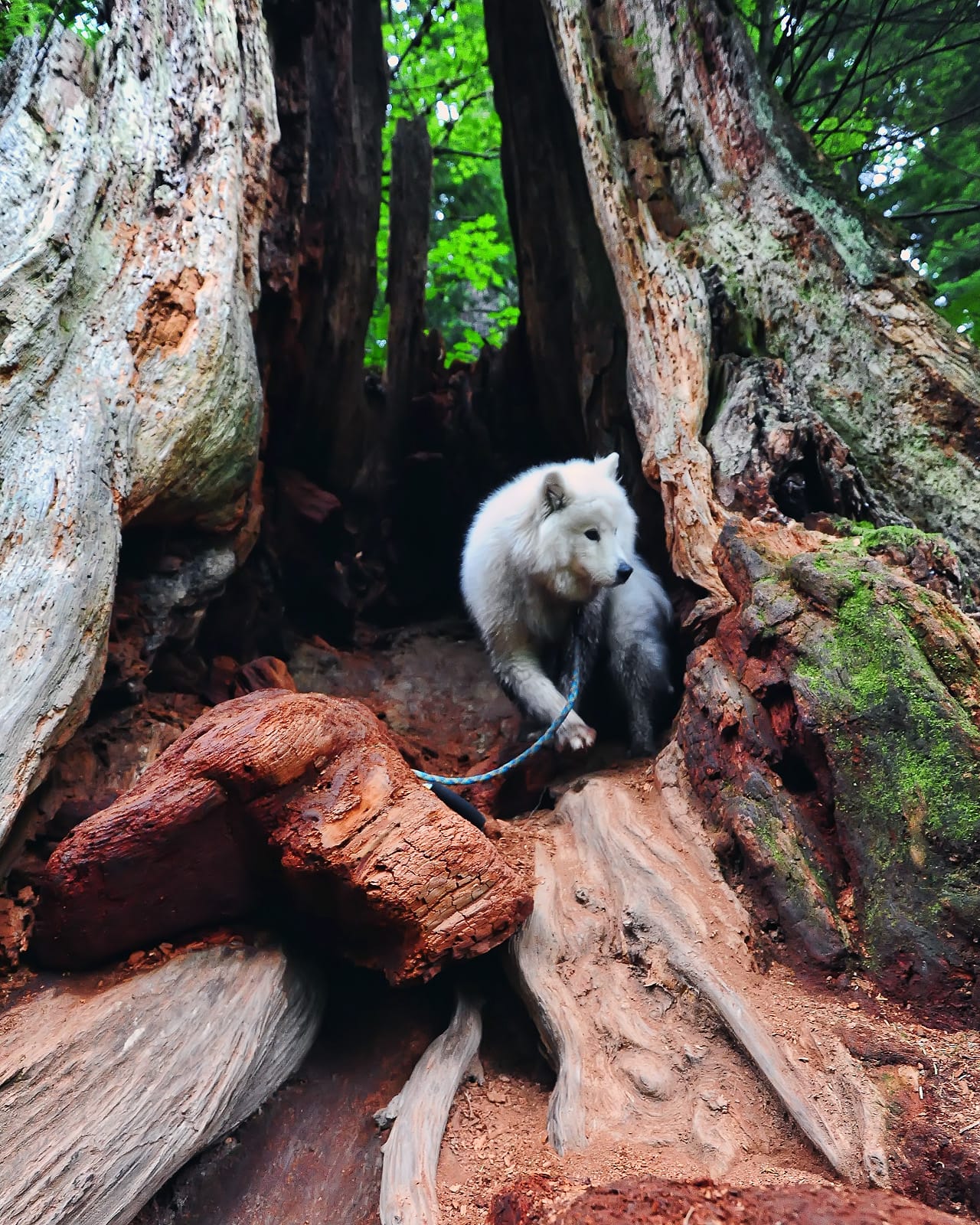
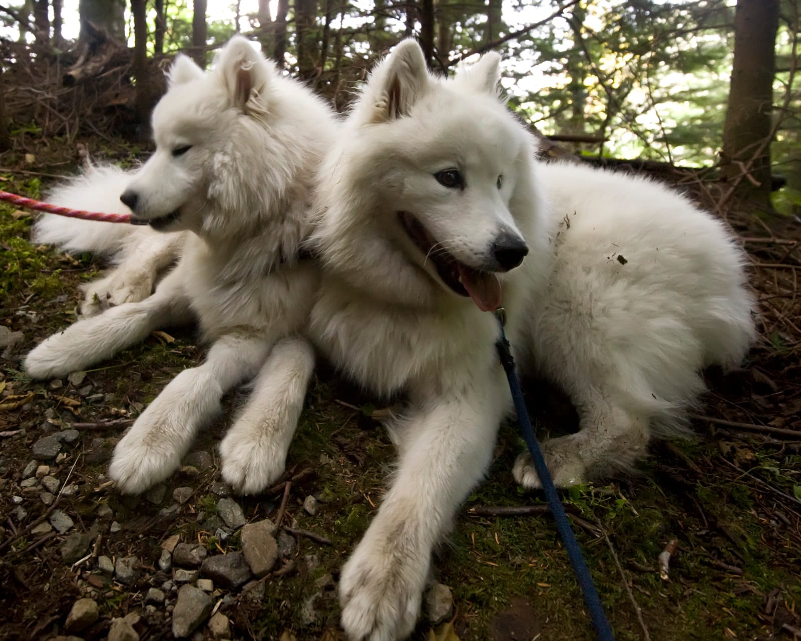
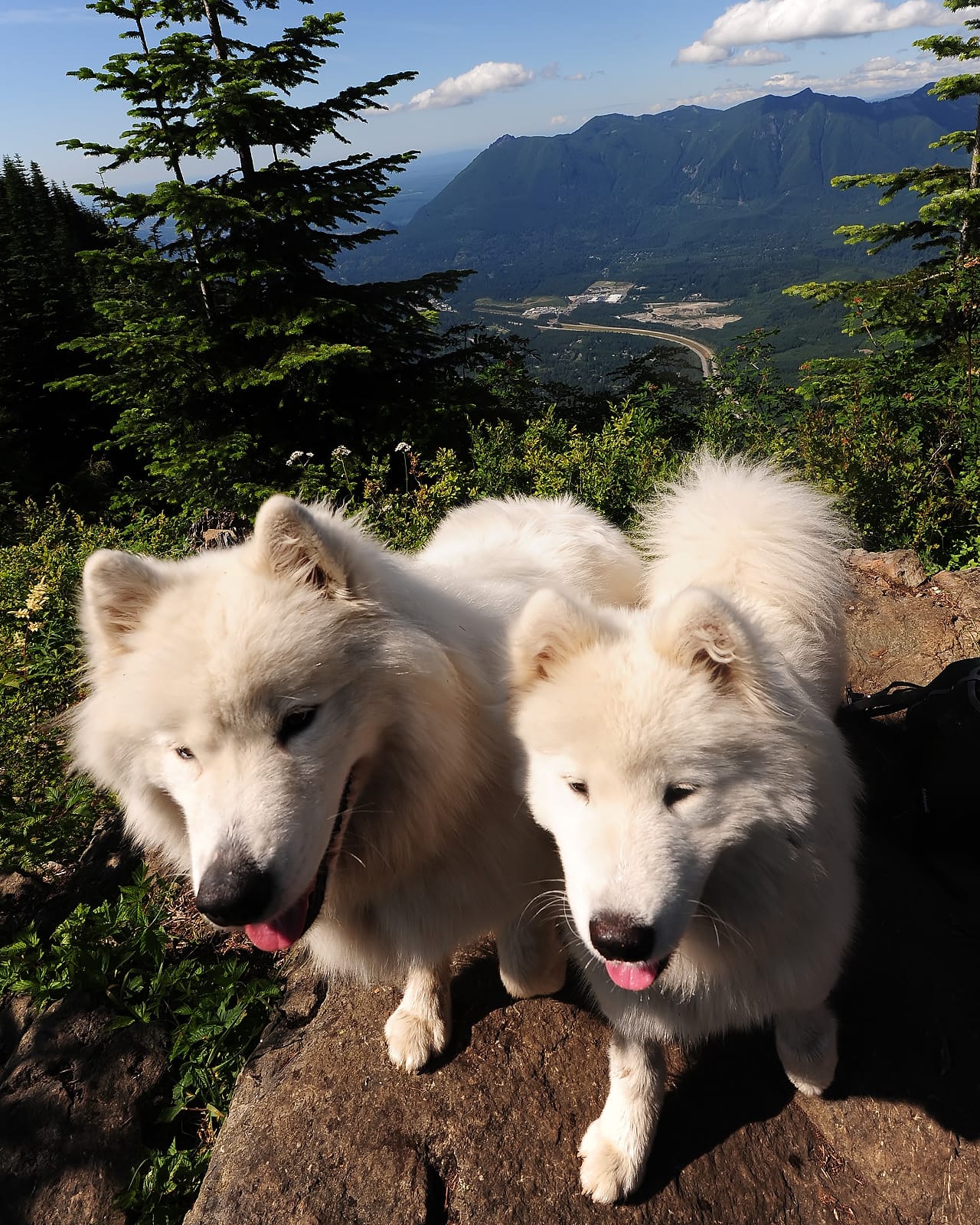
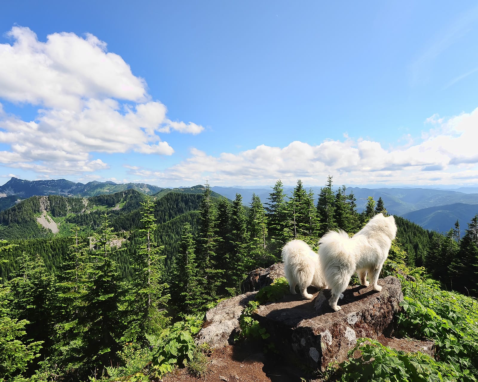
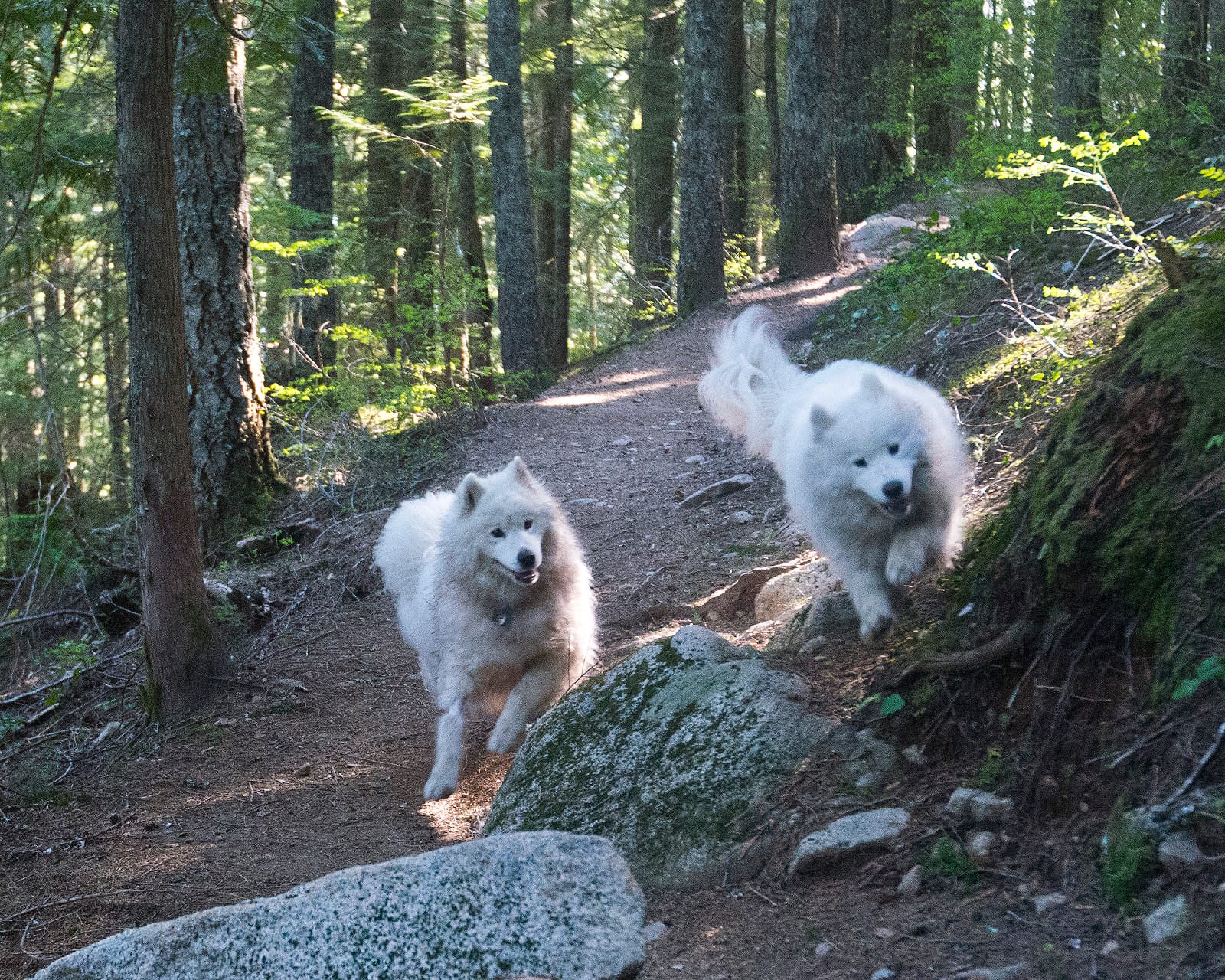
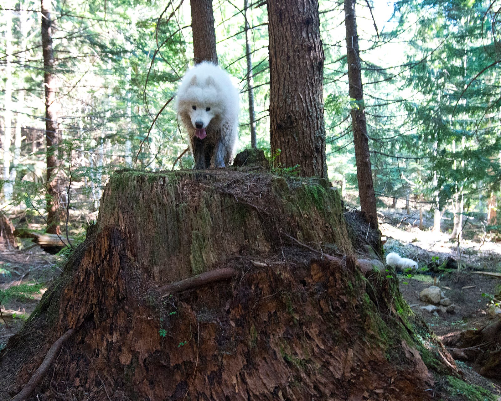
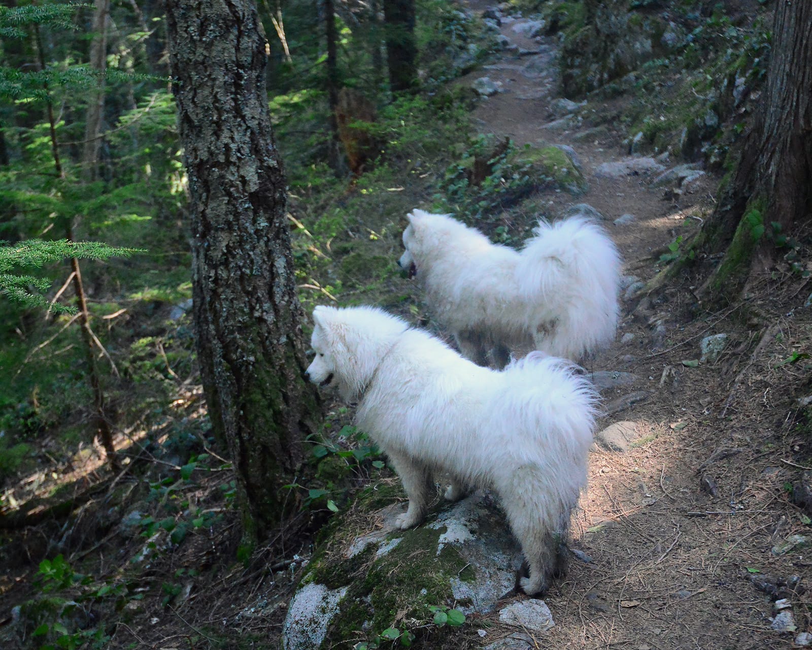
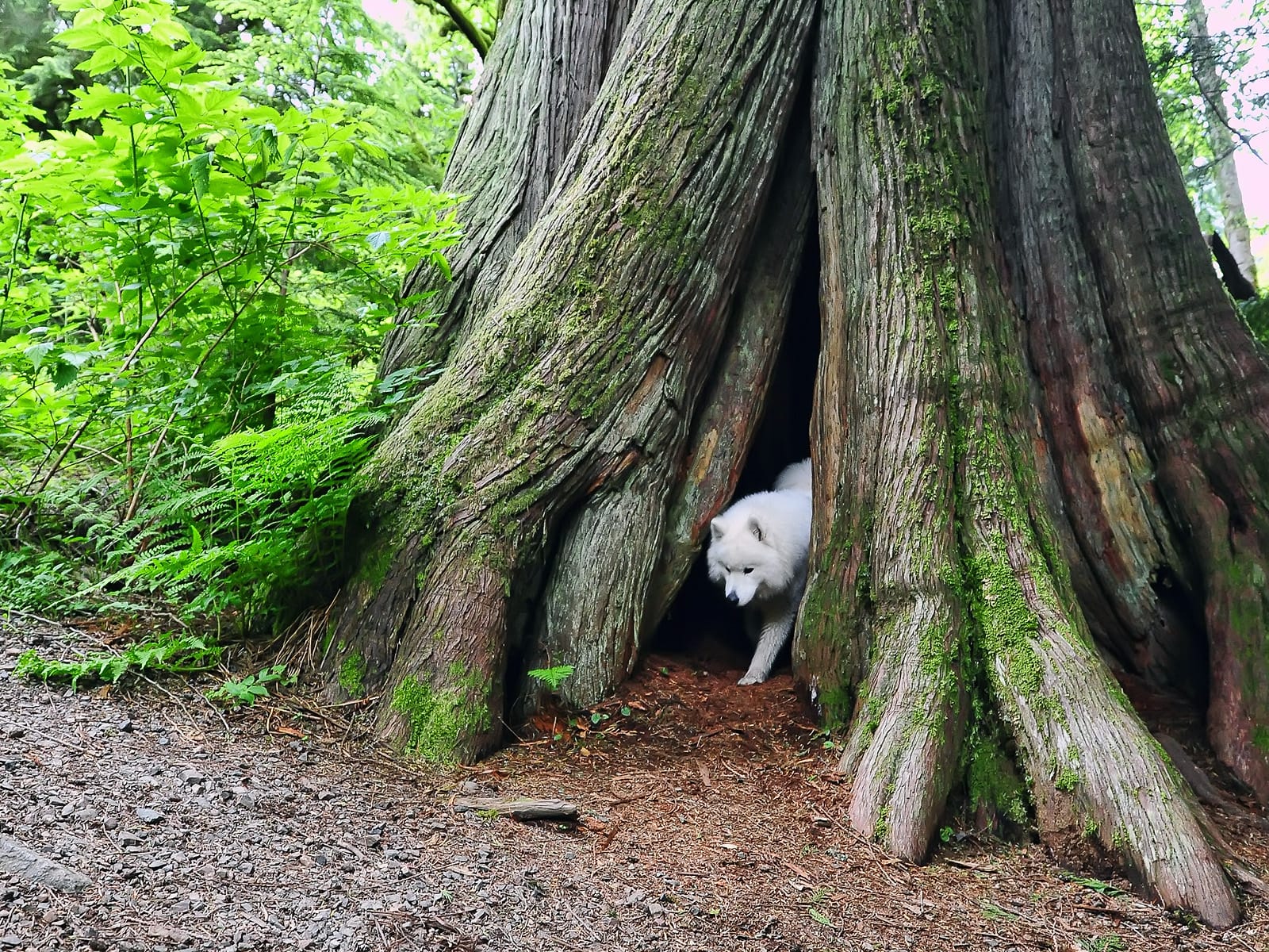
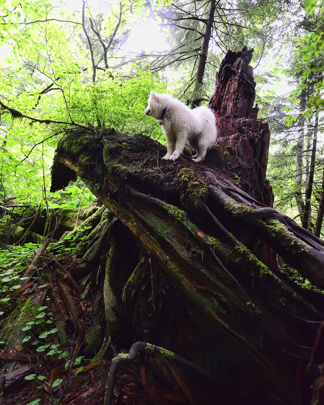
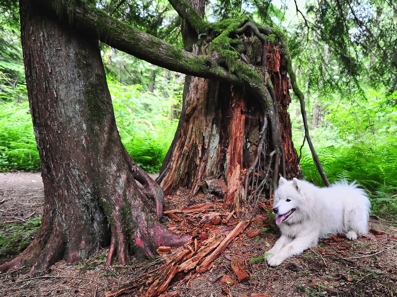
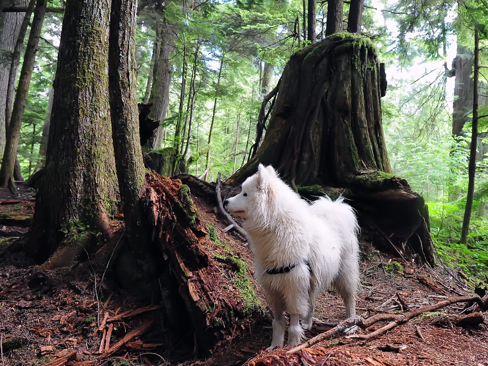
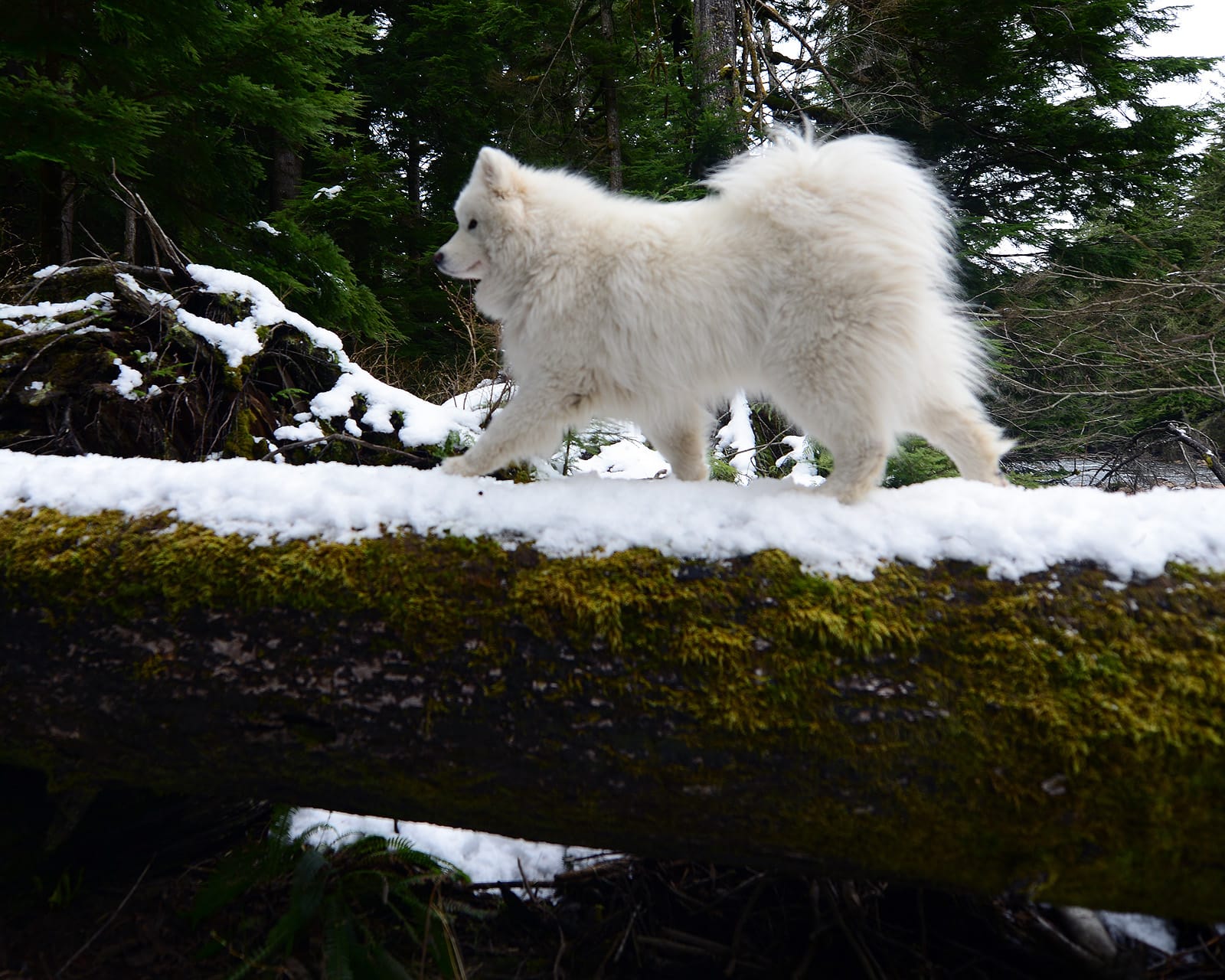
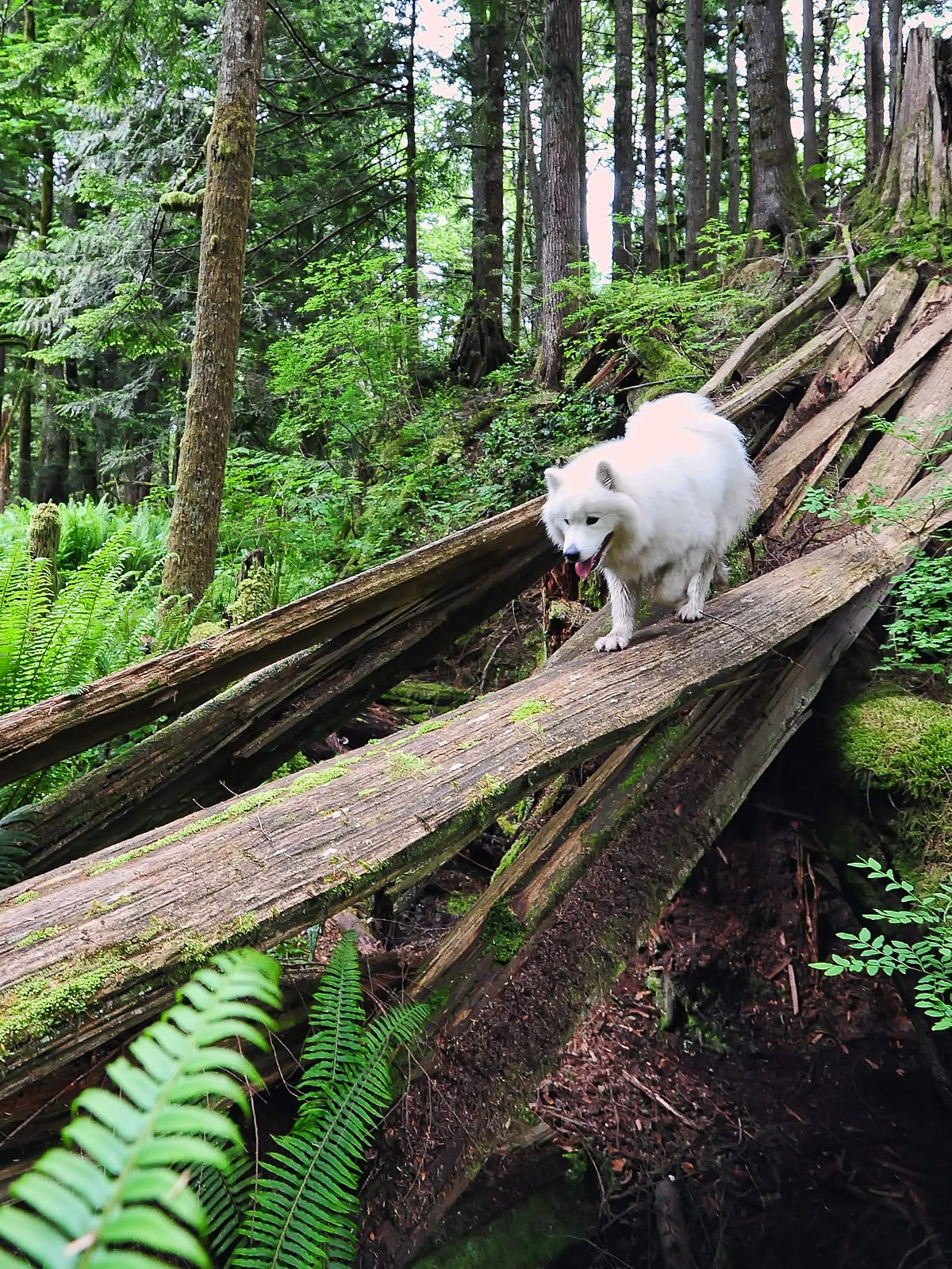
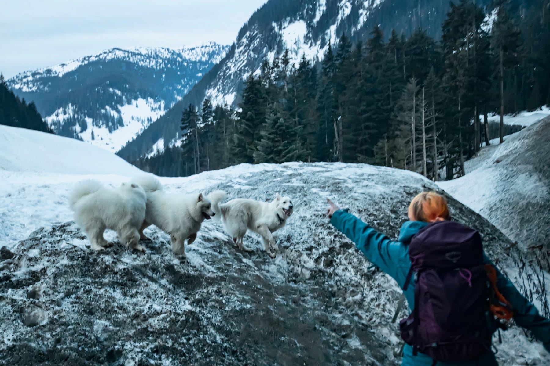
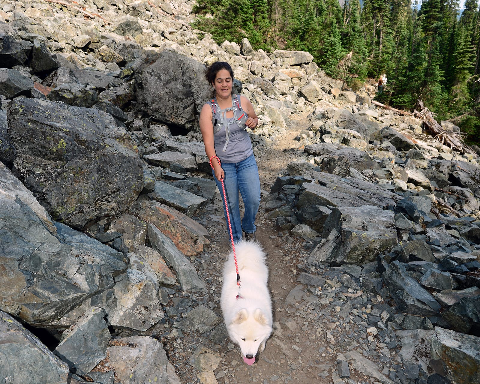
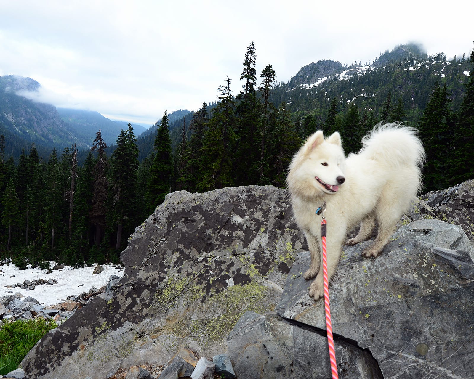
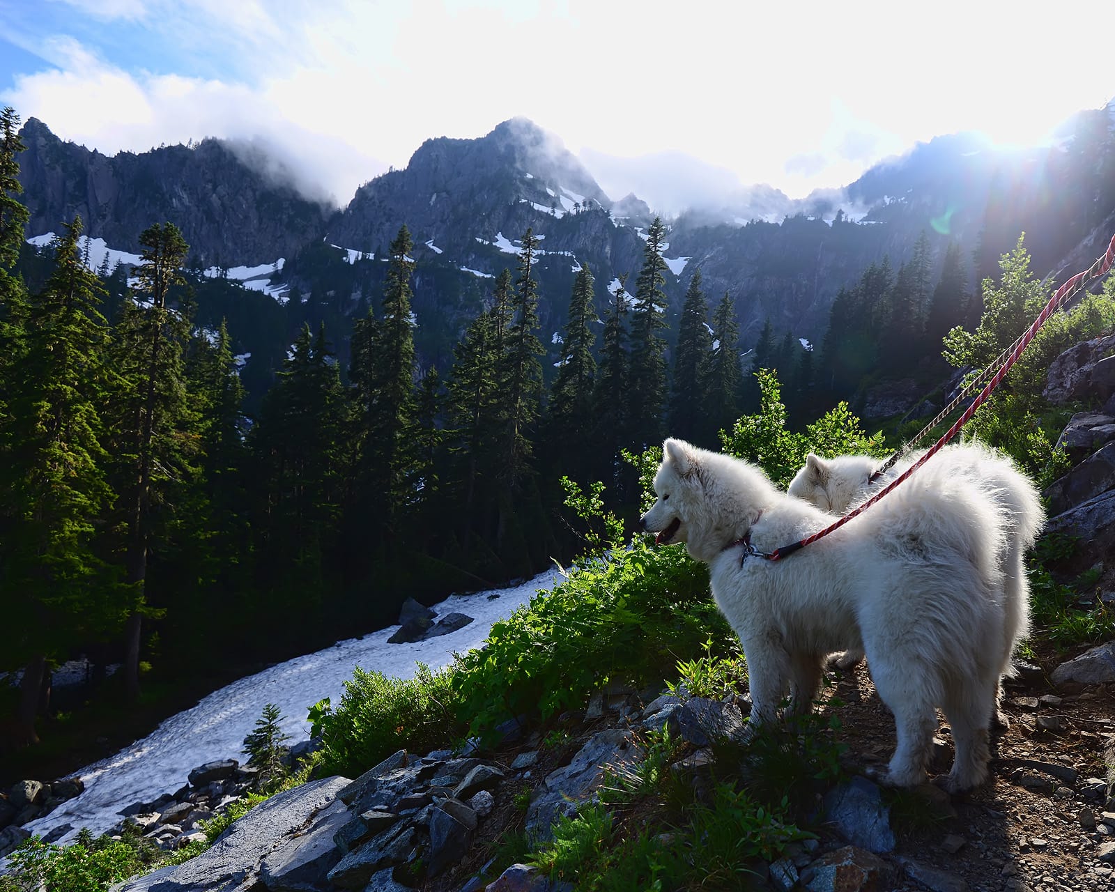
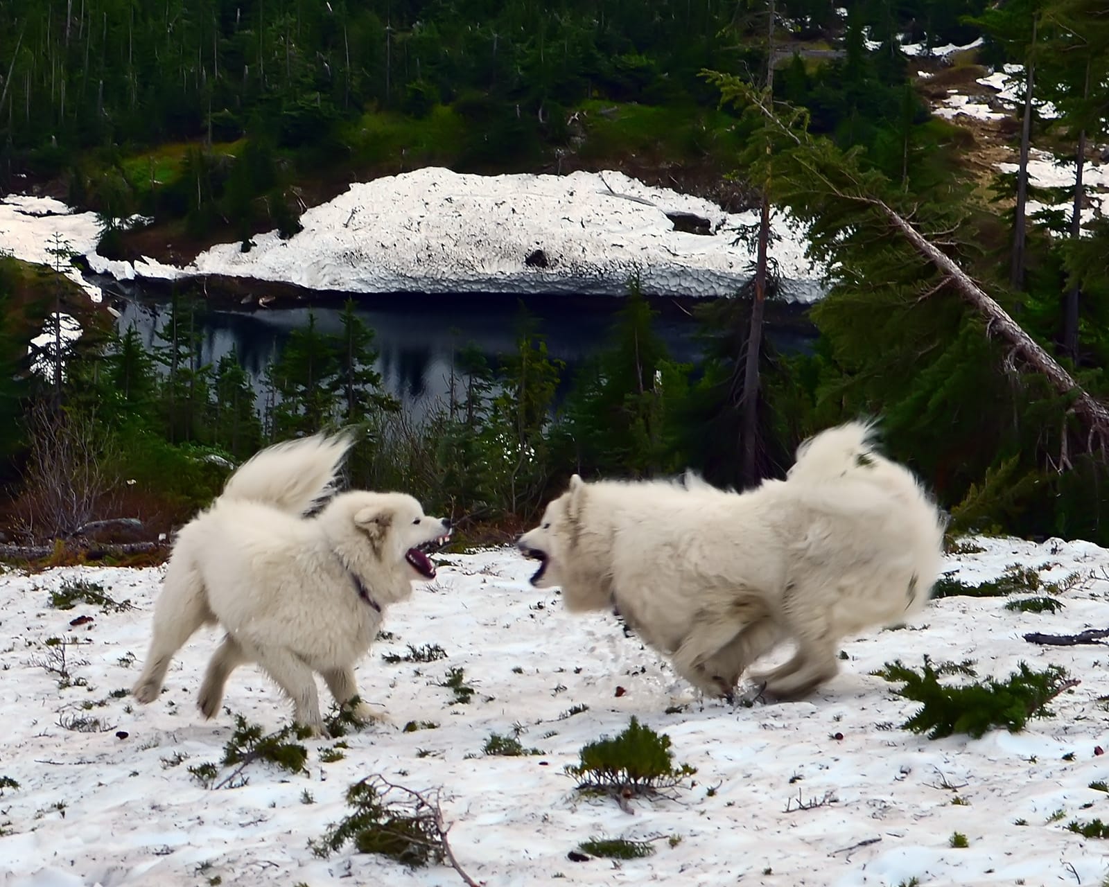
The 50 miles from North Bend to Cle Elum is a gorgeous mountain drive up over Snoqualmie Pass, with dozens of spectacular hikes within a few miles of I-90. The proximity to Seattle means those hikes can get crowded, especially on summer weekends, and for that reason we settled on the Middle Fork Valley (Exit 34) as our go-to hiking destination when we lived in Seattle. Back before it was paved (prior to 2018), Middle Fork Road was a bone-jarring dirt road with big potholes that kept crowds to a minimum.
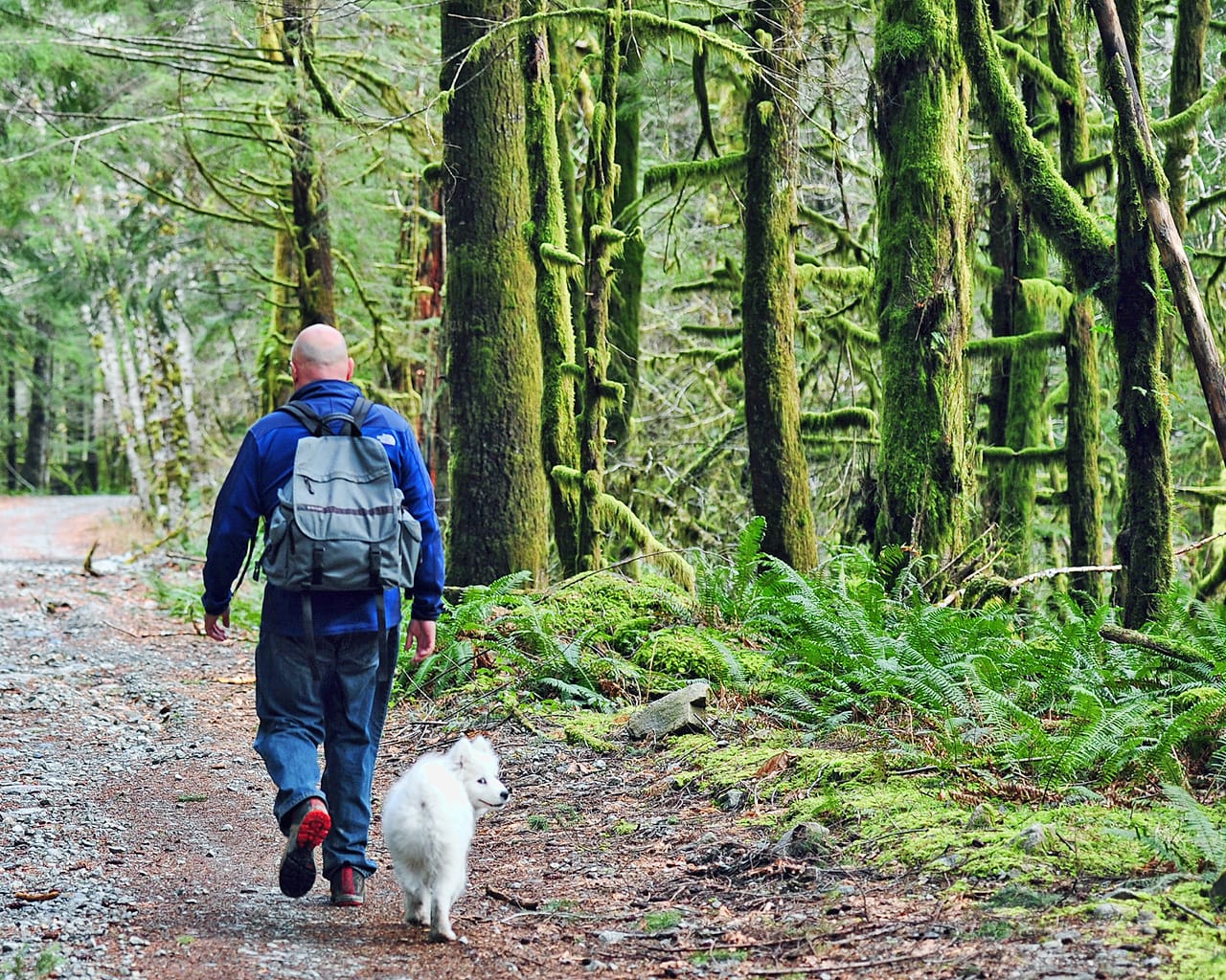
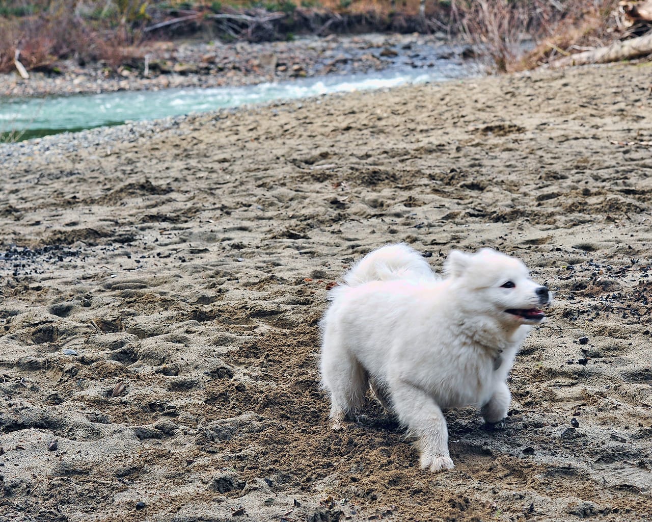
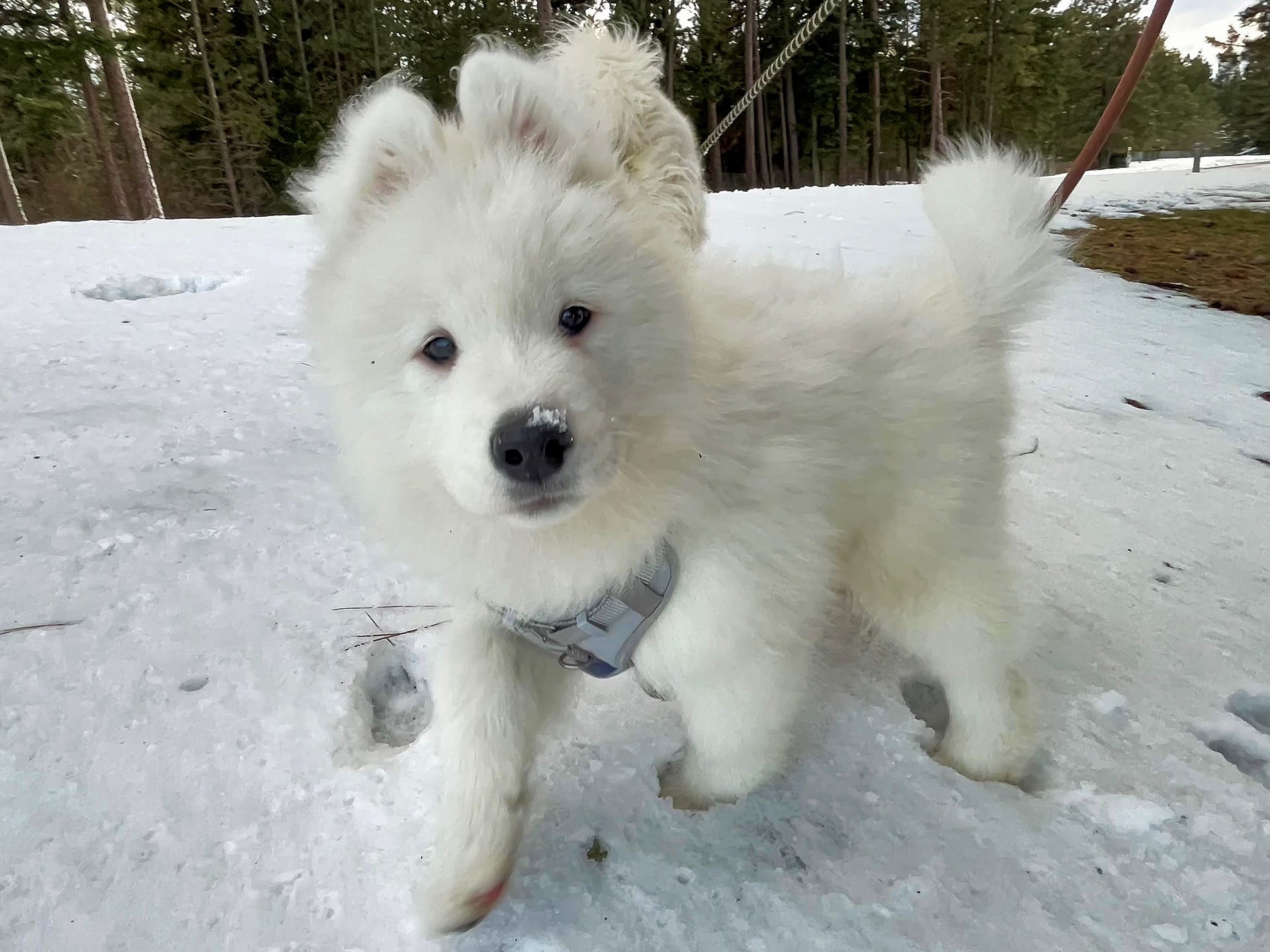
Jamie first visited the Middle Fork Valley when he was 4 months old. We had no idea at the time what a huge part of his life this valley would become.
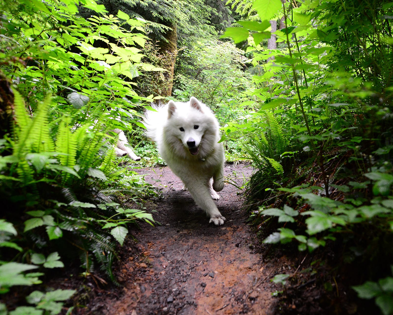
If you're not familiar with Jamie's relationship to the Middle Fork Valley, there are dozens of photos with lots of details in the blog post Taking Jamie Home, which I posted after we scattered his ashes there in 2022. The following are photos of some of the other hikes Jamie and Alice took along I-90 in the Cascade Mountains.
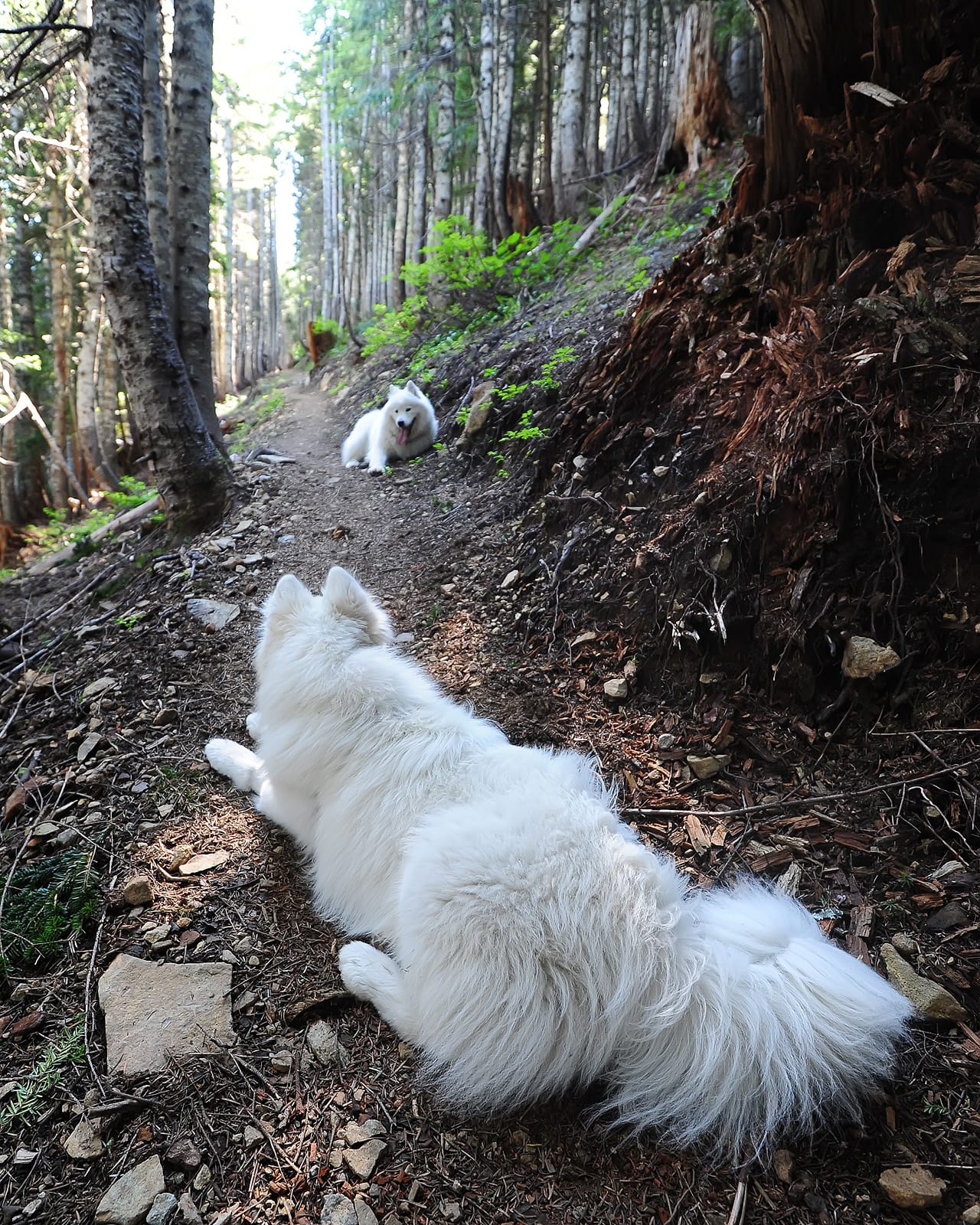
Rattlesnake Ledge and Rattlesnake Lake (Exit 32) is a short, steep, and beautiful hike. It gets very crowded, so we only went there early in the morning (darkness on the way up) or at the end of the day for sunset (darkness on the way down).
Twin Falls State Park has a popular hiking trail. Jamie went there as a 3 month old pup, and came back with Alice a few times.
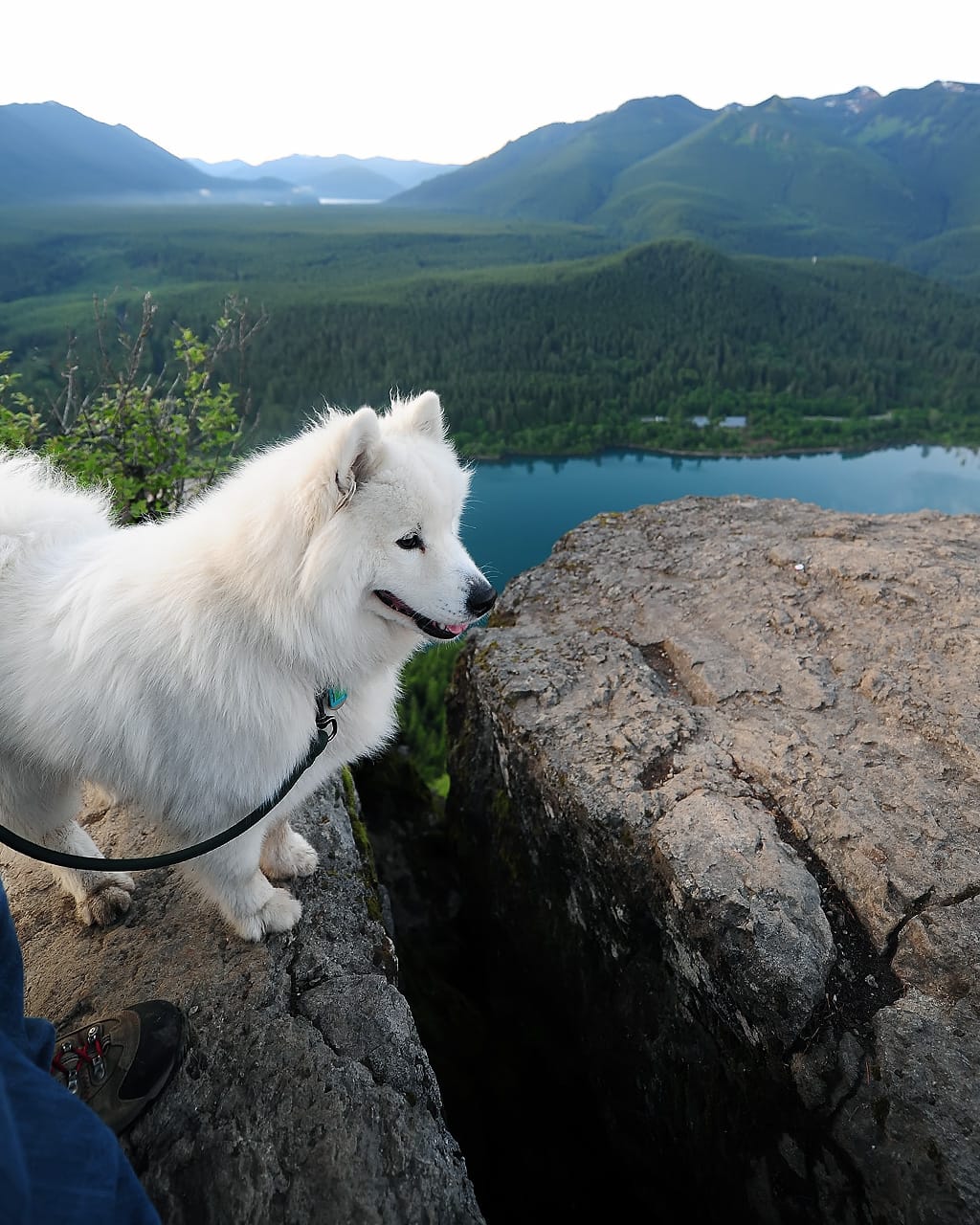
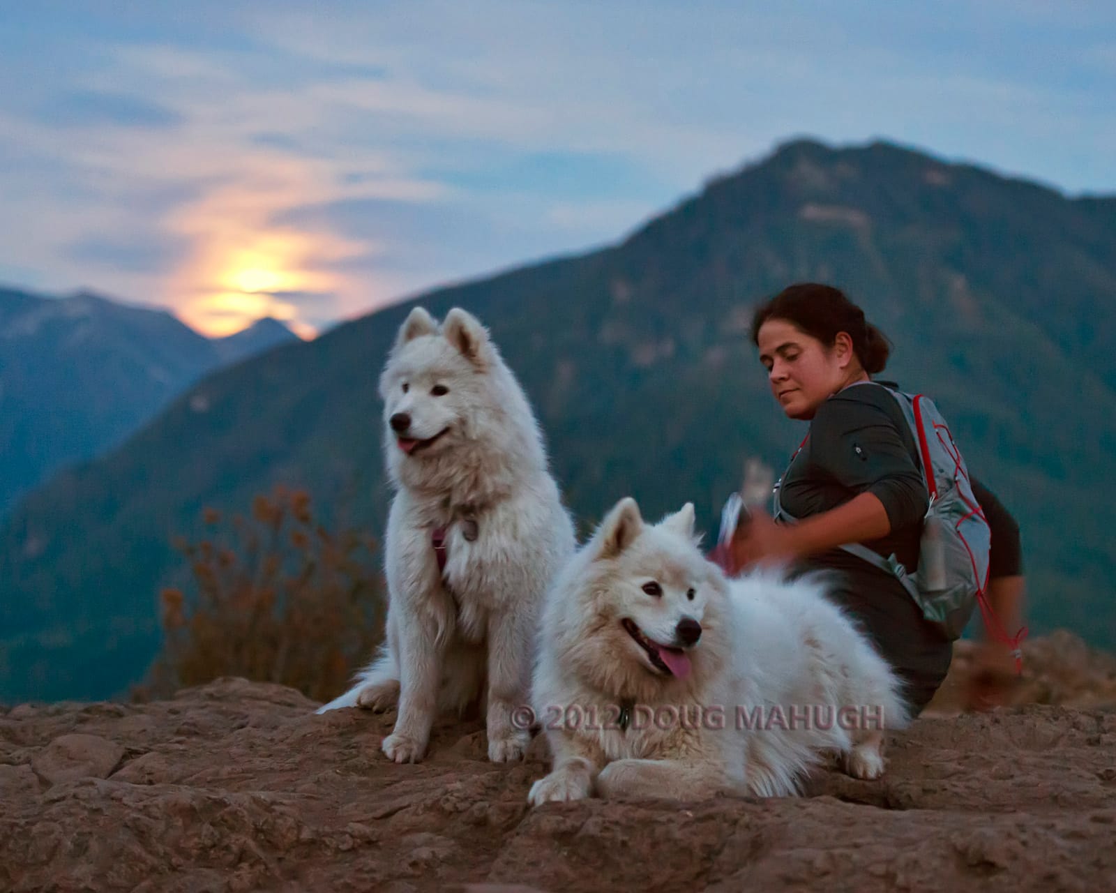
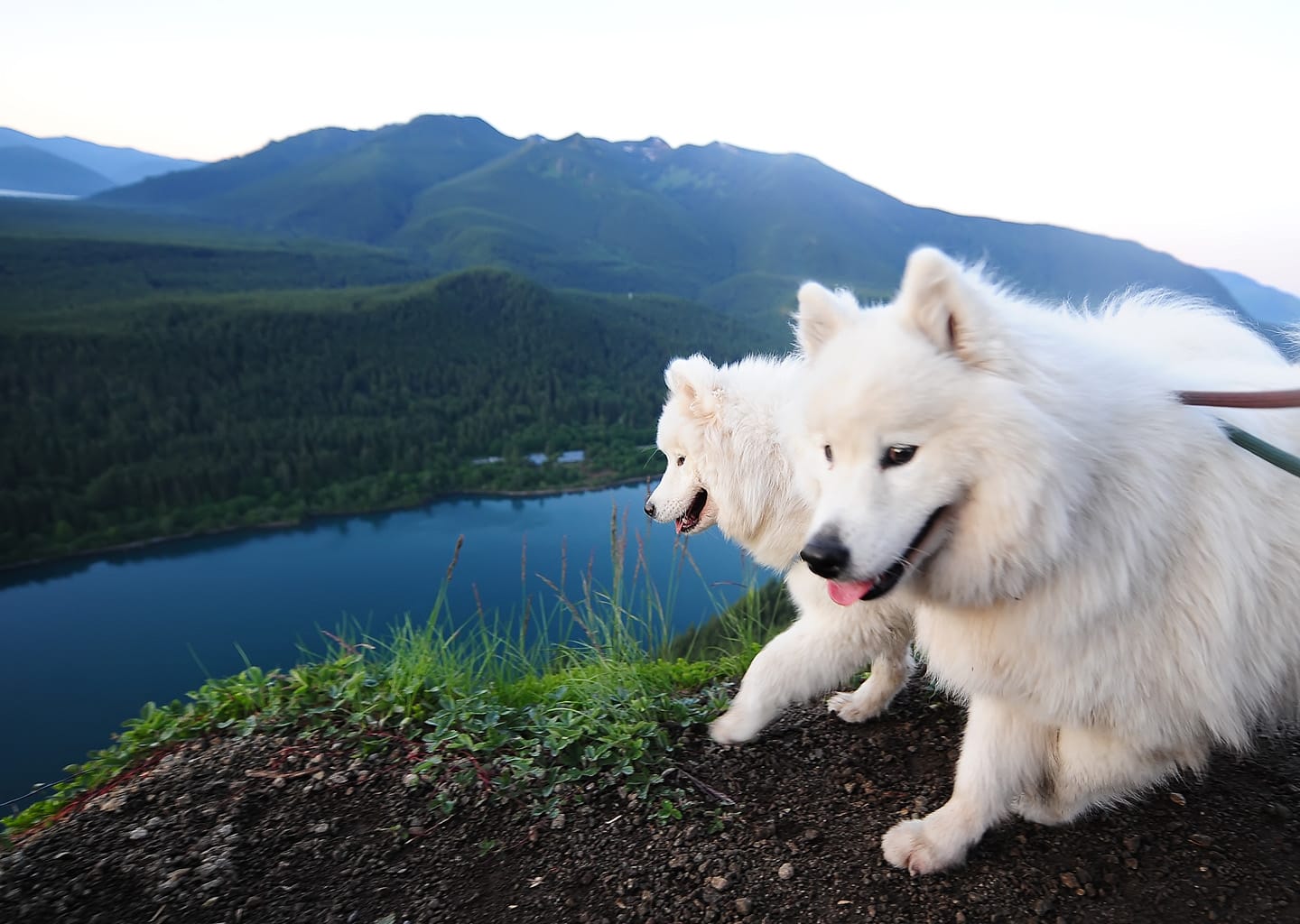
Jamie and Alice hiked Mount Washington (Exit 38) in the summer of 2011. As the Washington Trails Association website says, this hike "delivers comparable—if not superior—panoramic views and lung-busting switchbacks to Mount Si, with significantly less foot traffic." I avoided photographing Alice from the right side that day because she had just had surgery to remove the stick in her neck - the first of three such surgeries, as it turned out.
We only attempted Lake Talapus Trail once, and it was too early in the spring so we had to turn around when the snow got too deep. This trail gets really crowded in the summer, so we never tried it again.
Olallie State Park is another fun spot along I-90 on the west side of Snoqualmie Pass. It's not an off-leash spot, but we went a few times very early on weekdays and were the only ones there, so Jamie and Alice got to run on the trails.
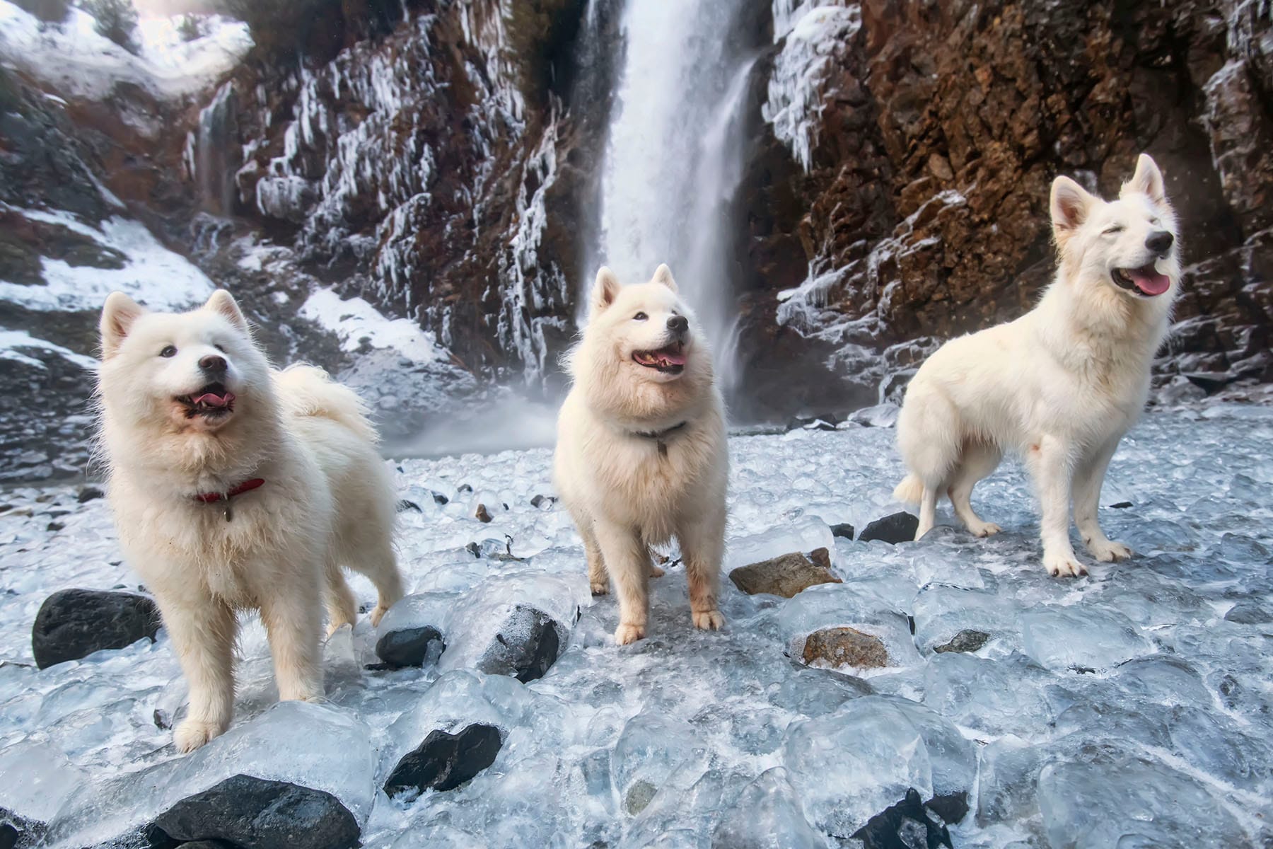
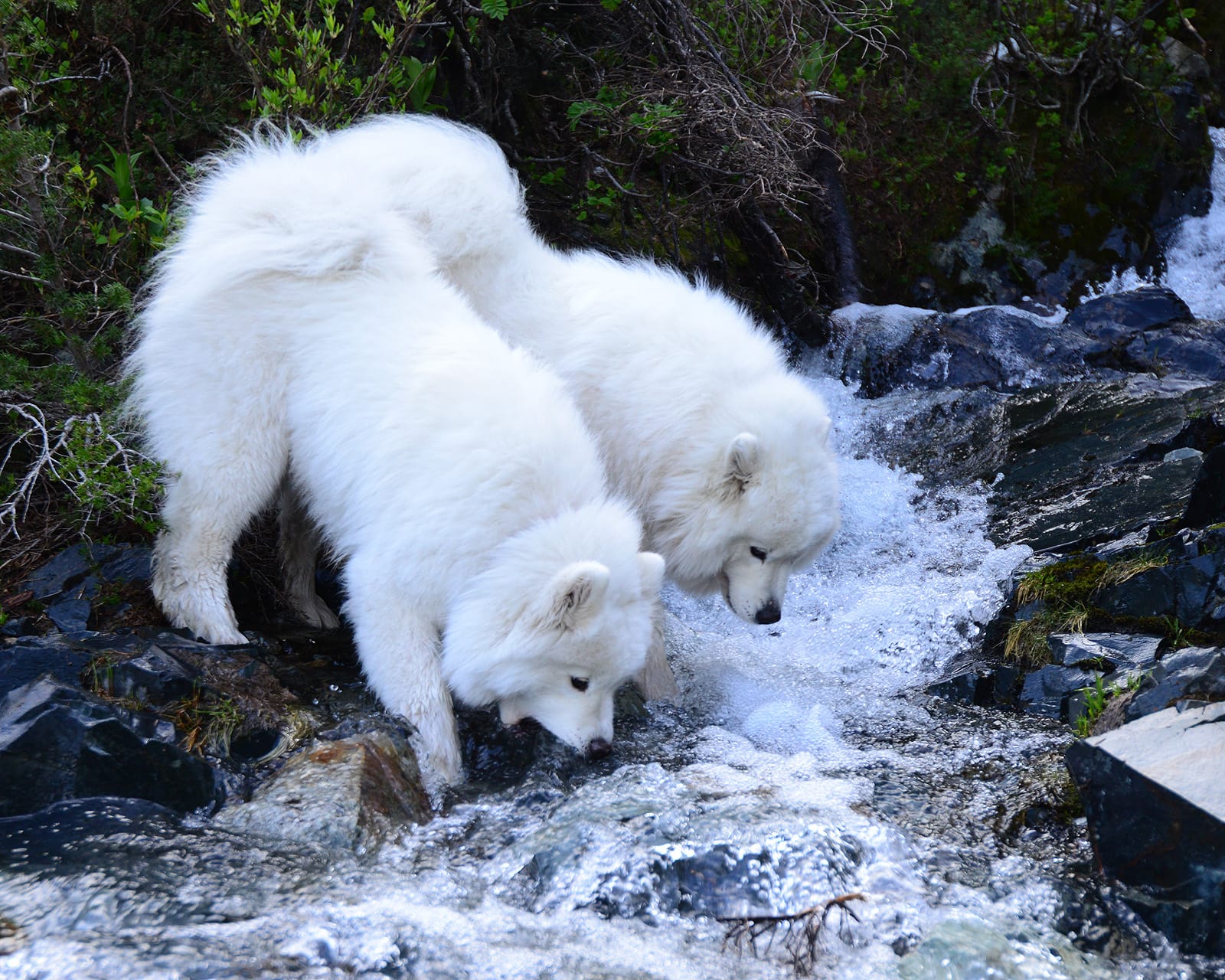
Franklin Falls is a short spectacular hike to a waterfall near Snoqualmie Pass. Jamie and Alice hiked there in the winter with their friend Fenrir.
Source Lake is a pretty hike near the Alpental ski area at Snoqualmie Pass, and it's much less crowded than nearby Snow Lake. We've had it to ourselves a few times.

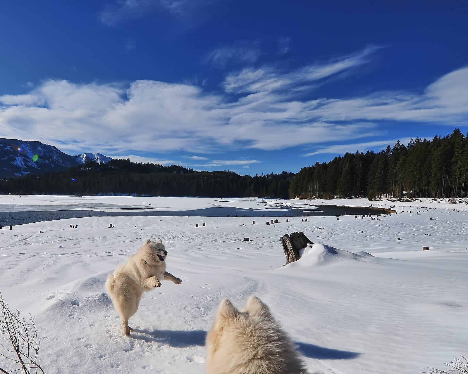
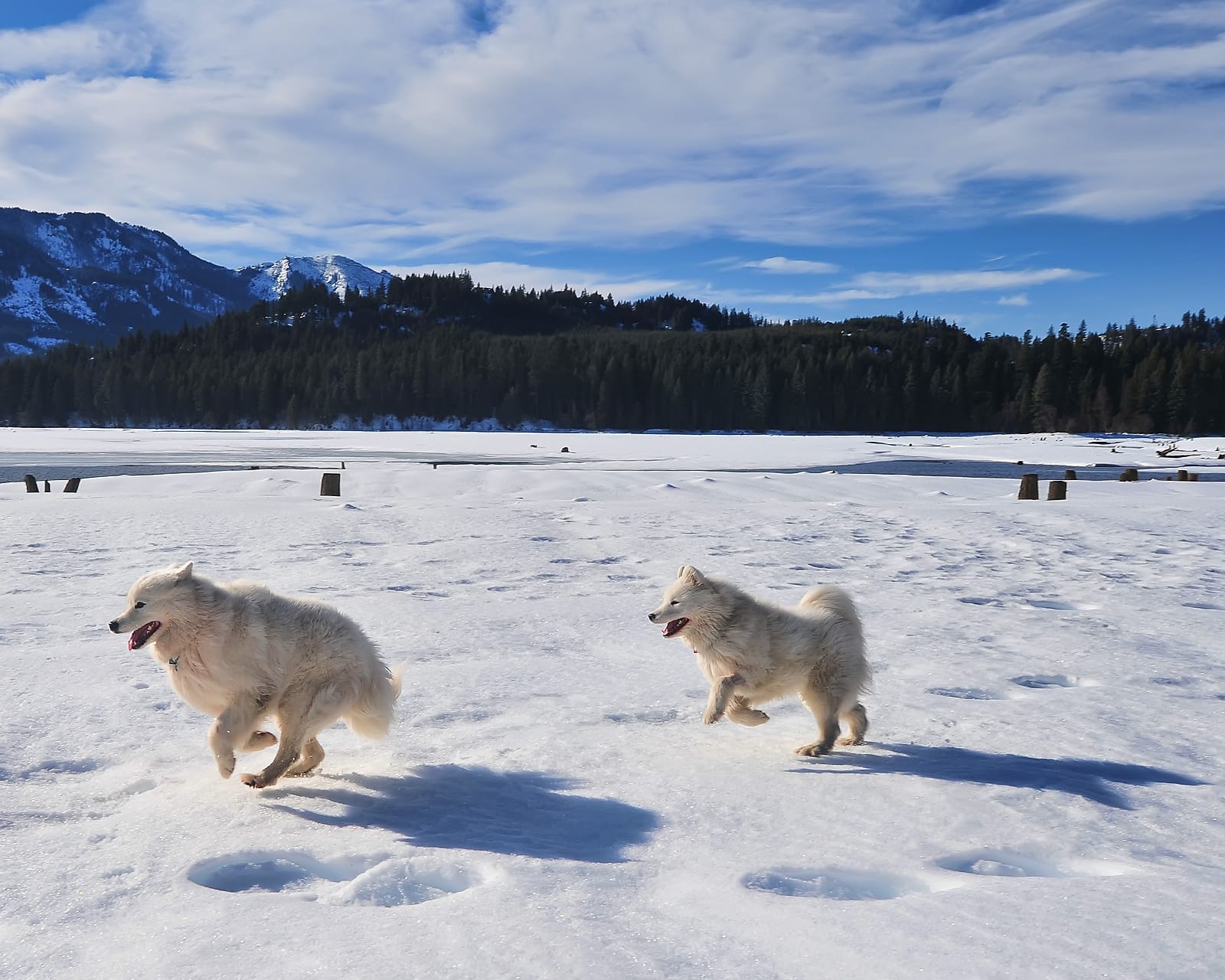
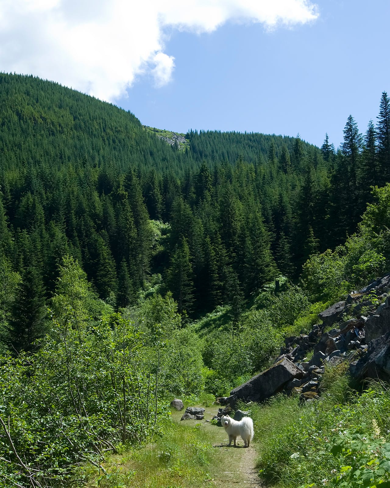
There aren't as many dog options close to I-90 on the east side of Snoqualmie Pass, but Lake Easton State Park (Exit 70) is a good place for a walk just off the highway. There's usually nobody around in the winter, so Jamie and Alice would get an off-leash romp, and in the summer it gets crowded so leashes required.
After leaving the Snoqualmie Pass area, I-90 goes gently downhill to east, following the Yakima River past Ellensburg and into the Kittitas Valley.
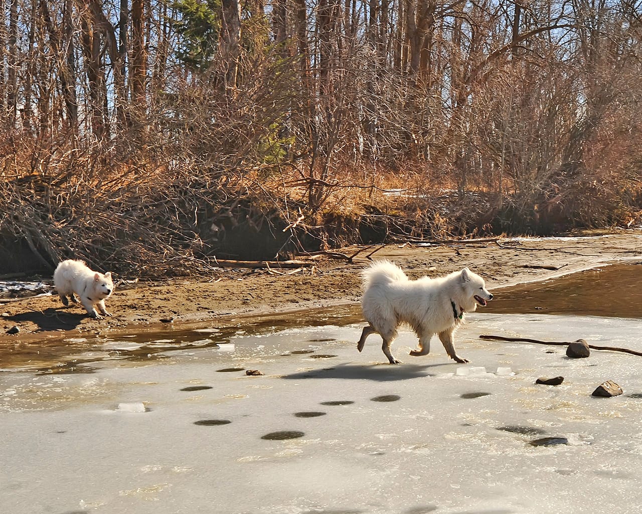
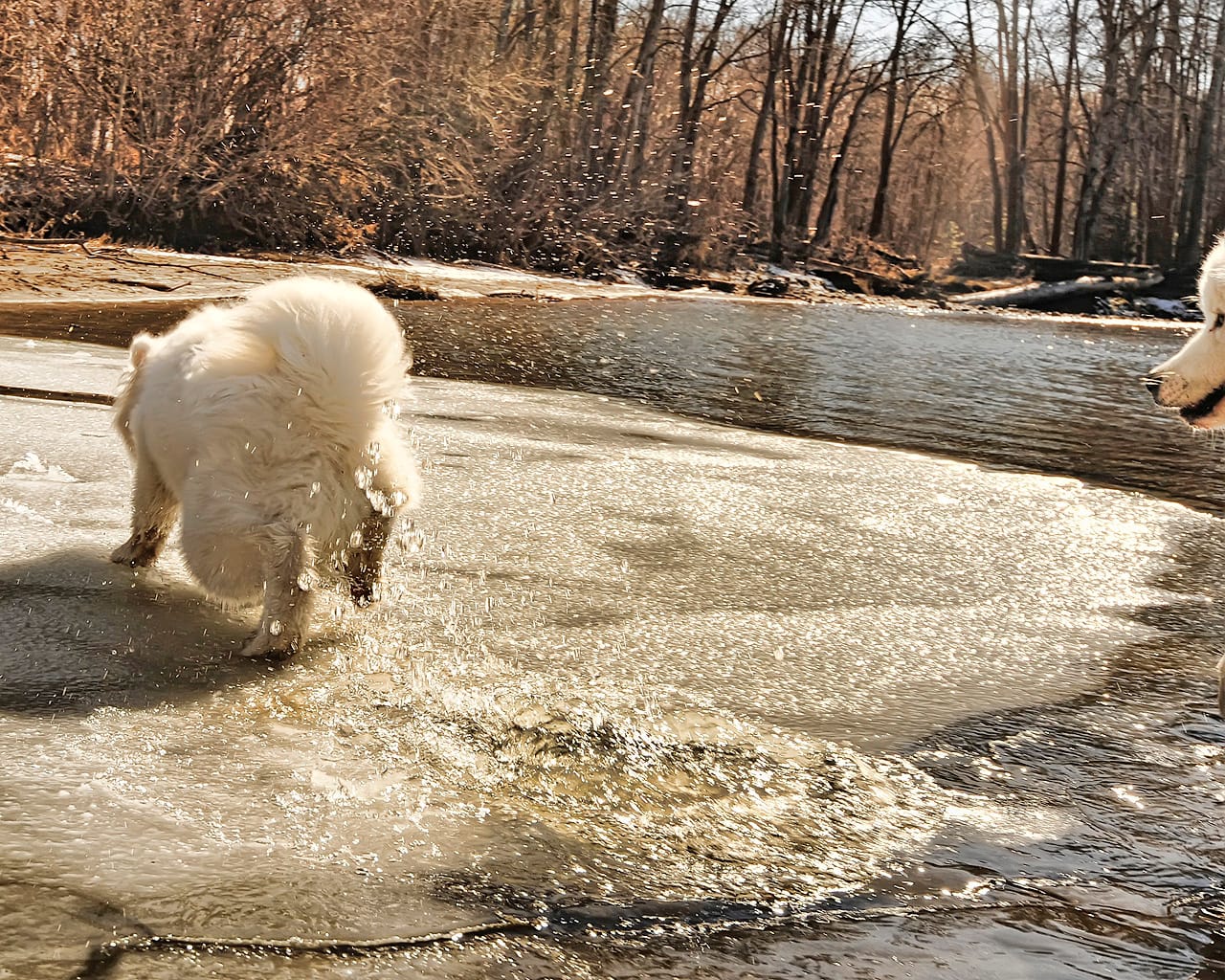
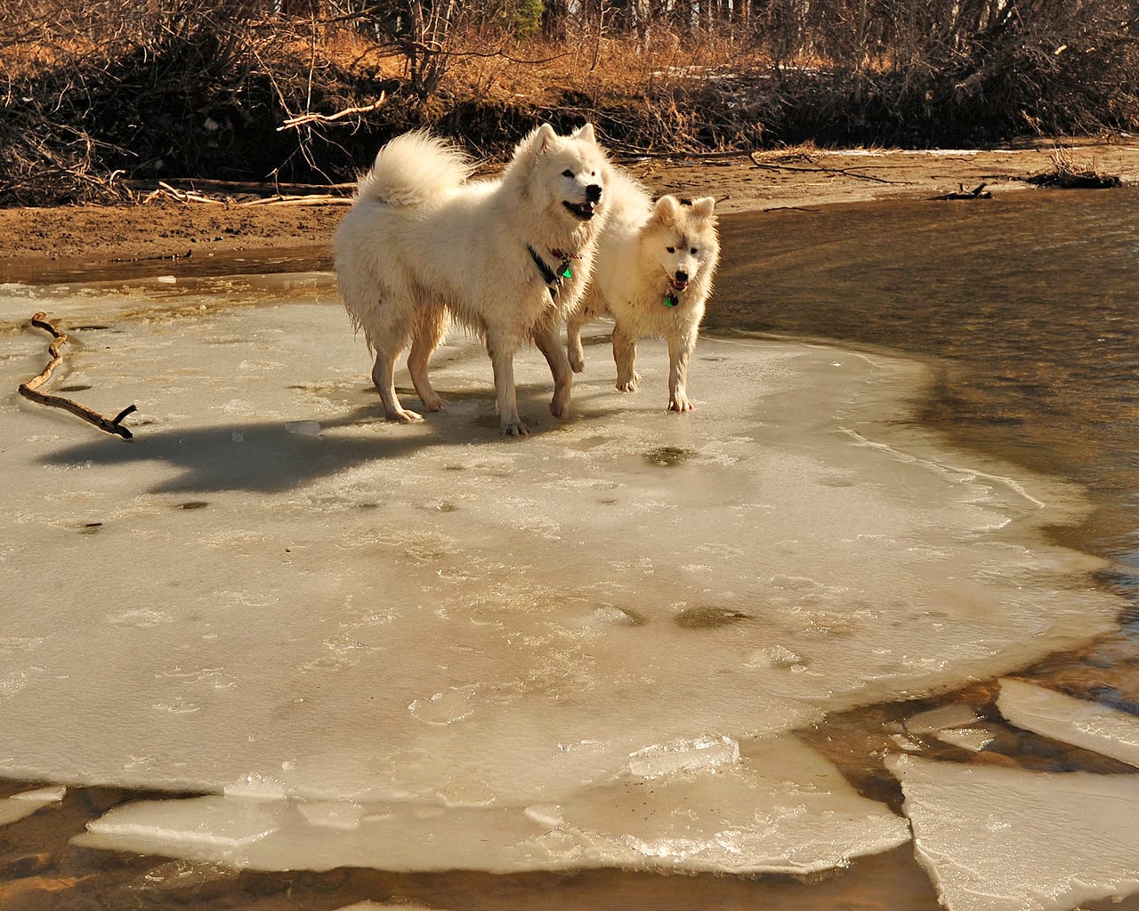
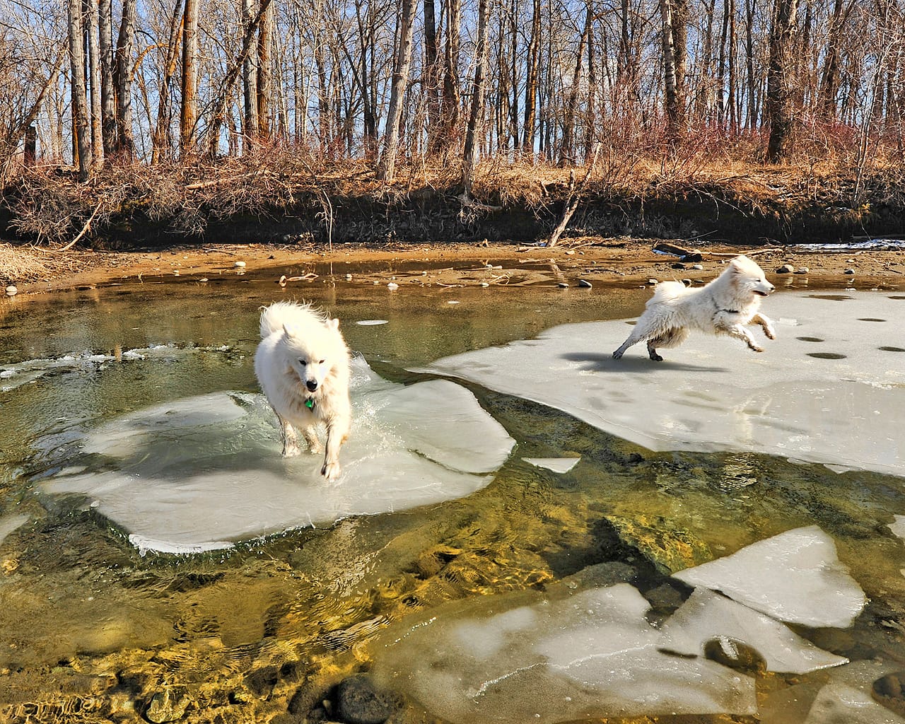
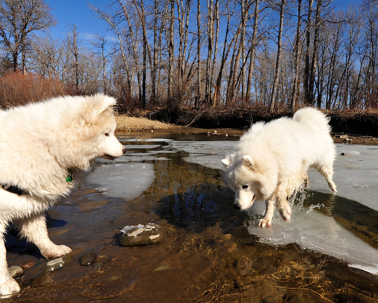
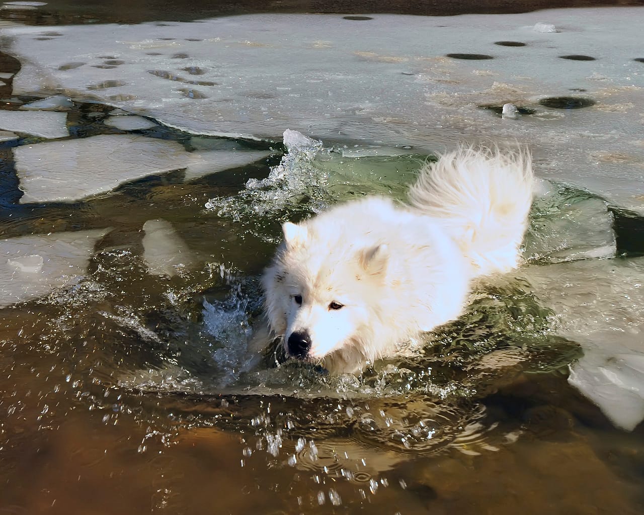
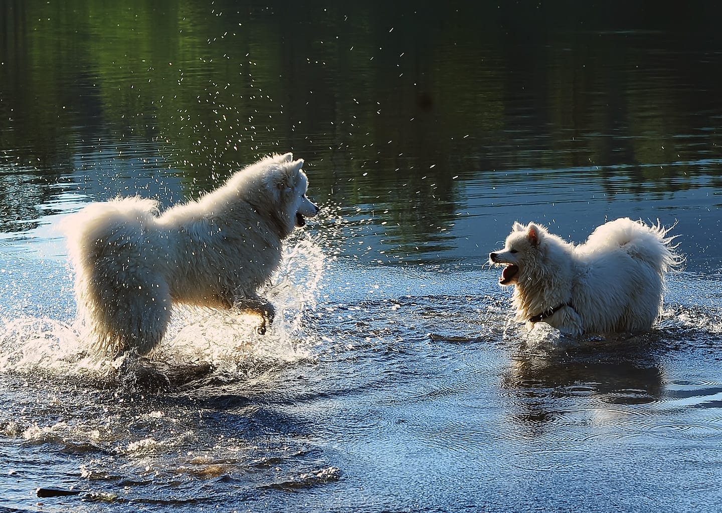
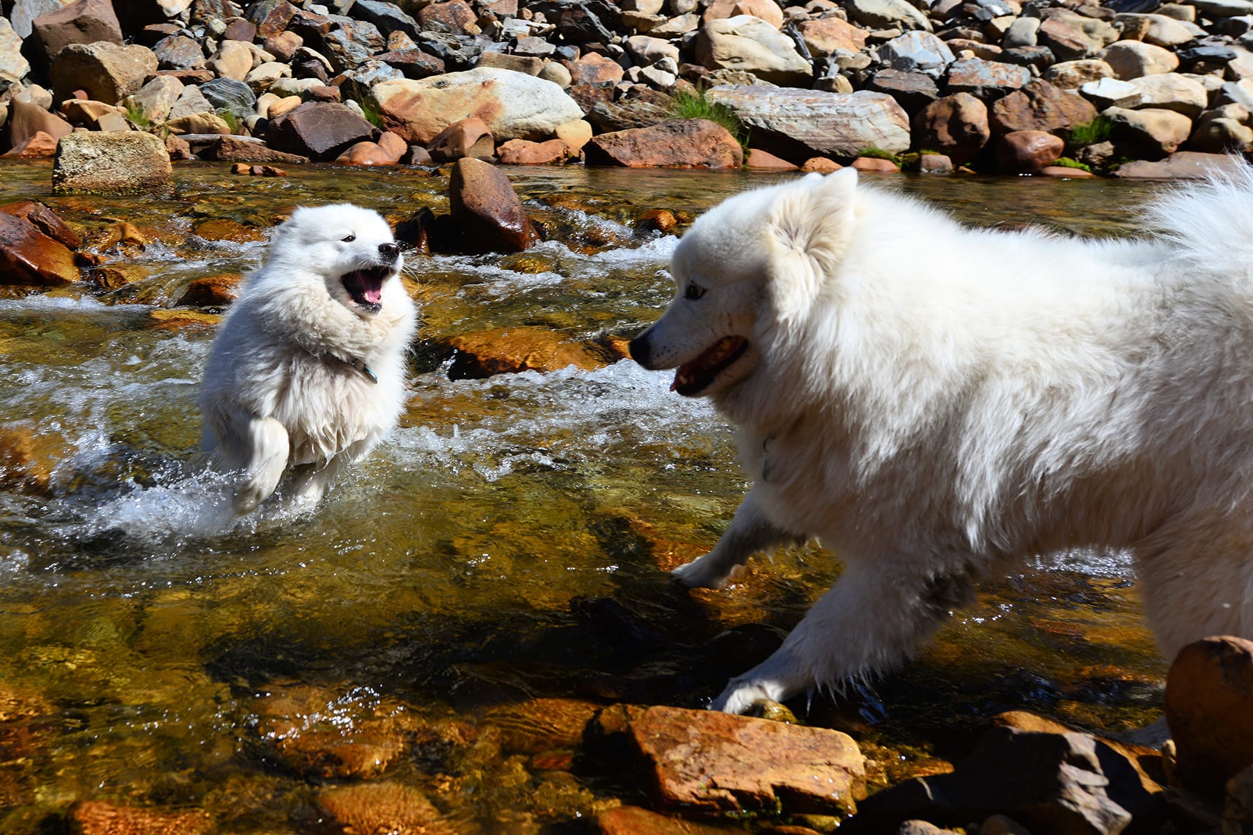
Jamie and Alice playing on some late winter ice in an eddy along the bank of the Yakima River near Ellensburg.
Columbia River area
At the eastern edge of the Kittitas Valley, I-90 begins a long descent into the massive Columbia River gorge, them crosses the river and turns north along the rocky cliffs on the far bank that mark the beginning of the channeled scablands of Eastern Washington.
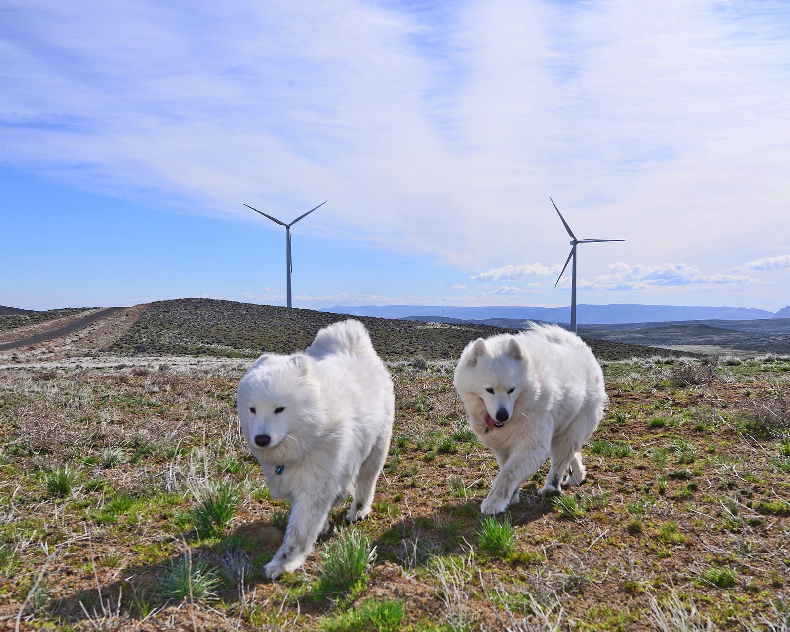
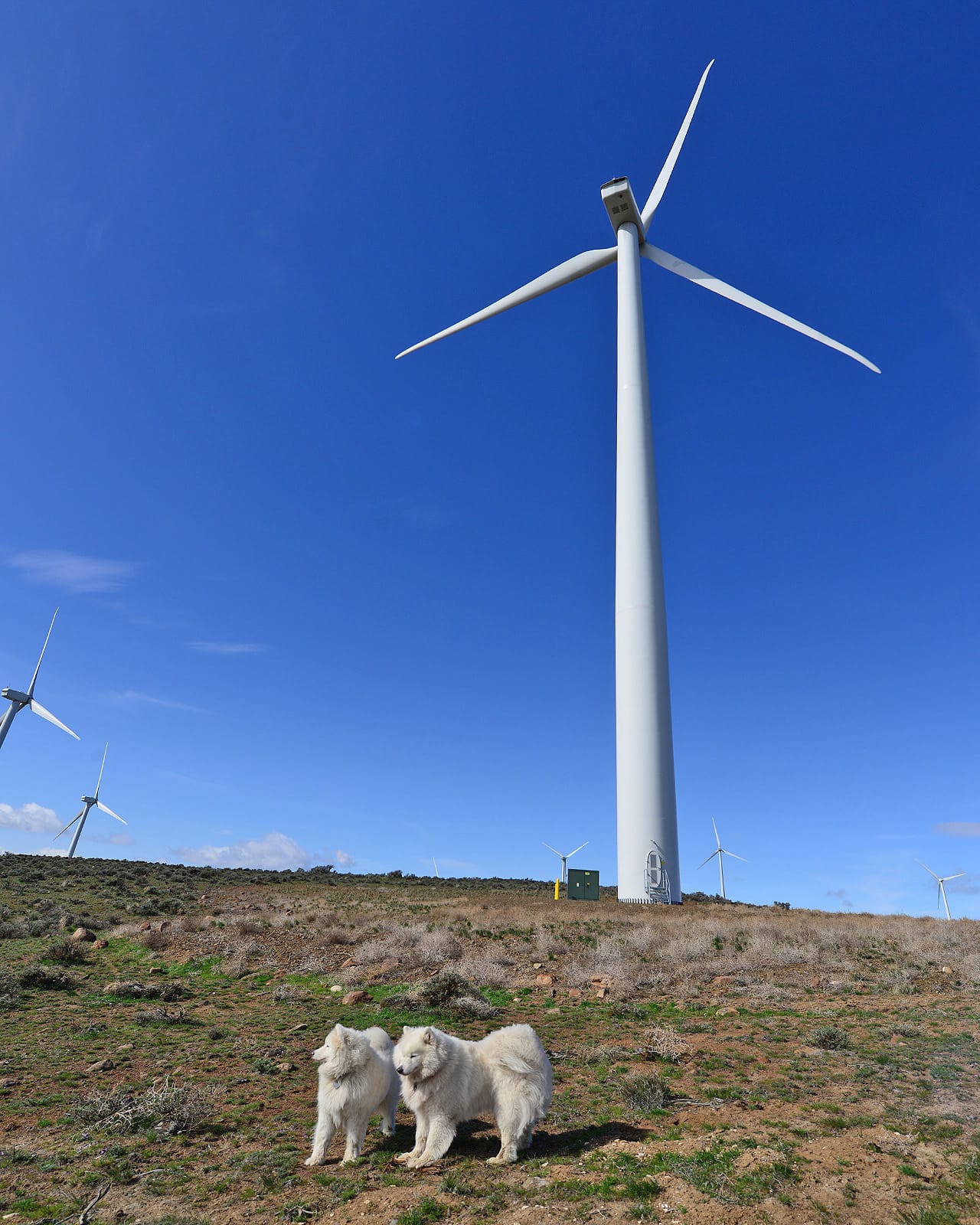
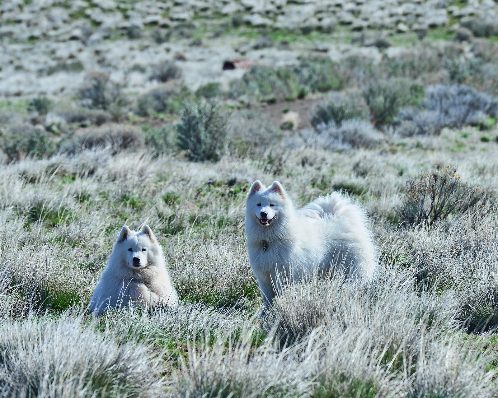
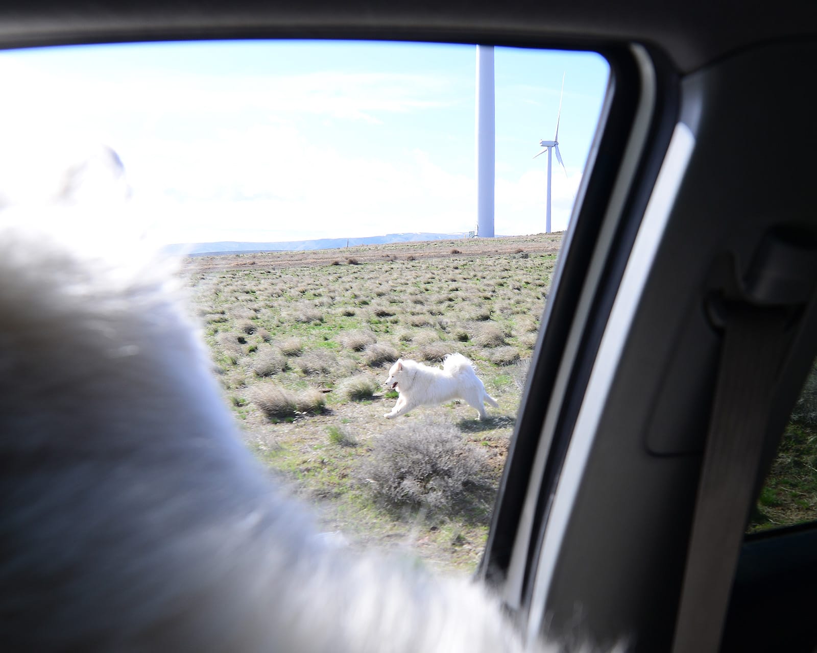
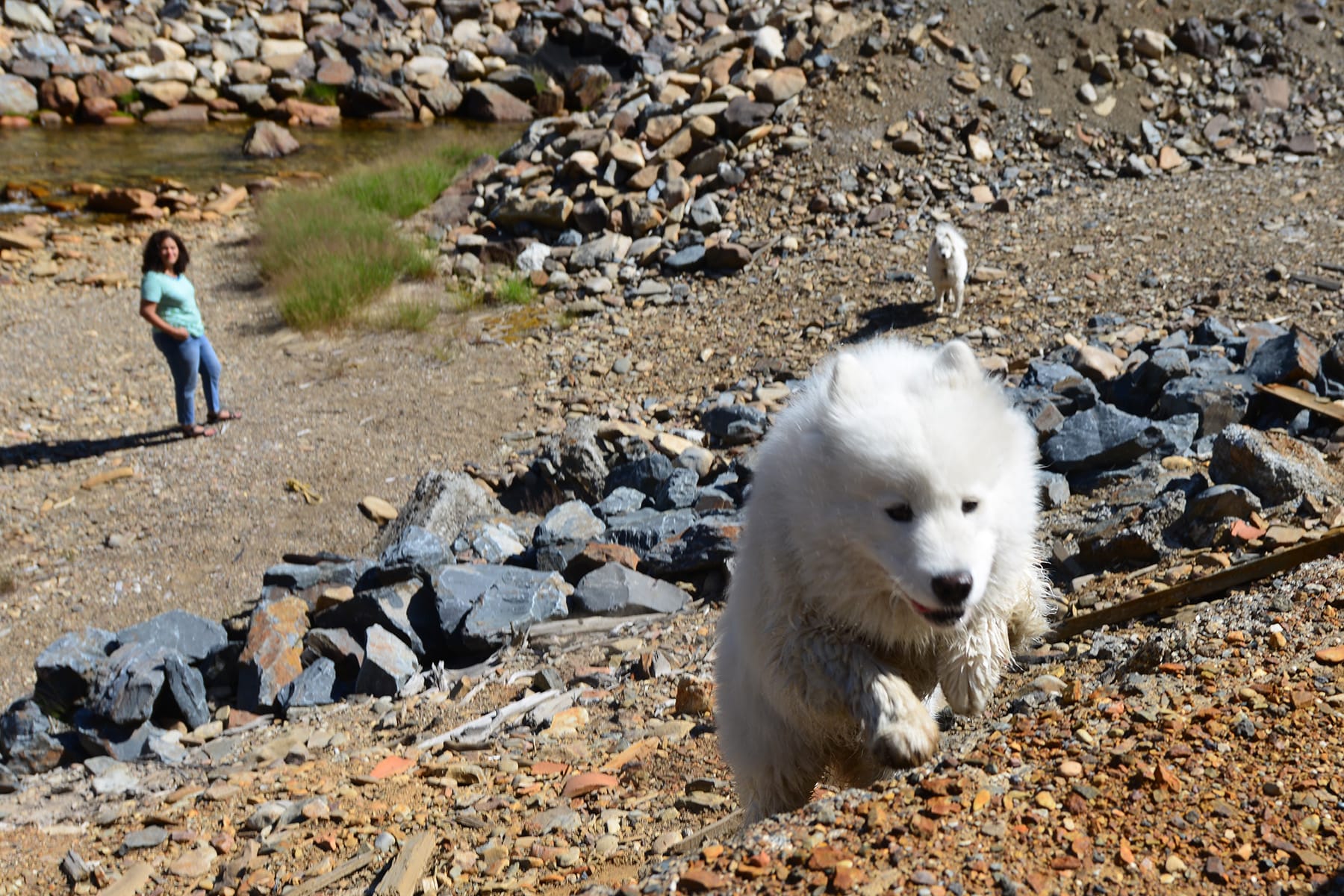
There's a massive wind farm on the north side of I-90 where it starts the descent to the Columbia River, with dozens of wind turbines. Back in 2013, we happened to drive past when the first few turbines were going up, and Jamie and Alice go to play under the turbines before there were any security fences. (That area is no longer open to the public.) Alice enjoyed it so much that she refused to get back in the truck, so Jamie and I started driving away without her and she chased us down and decided to join us after all.
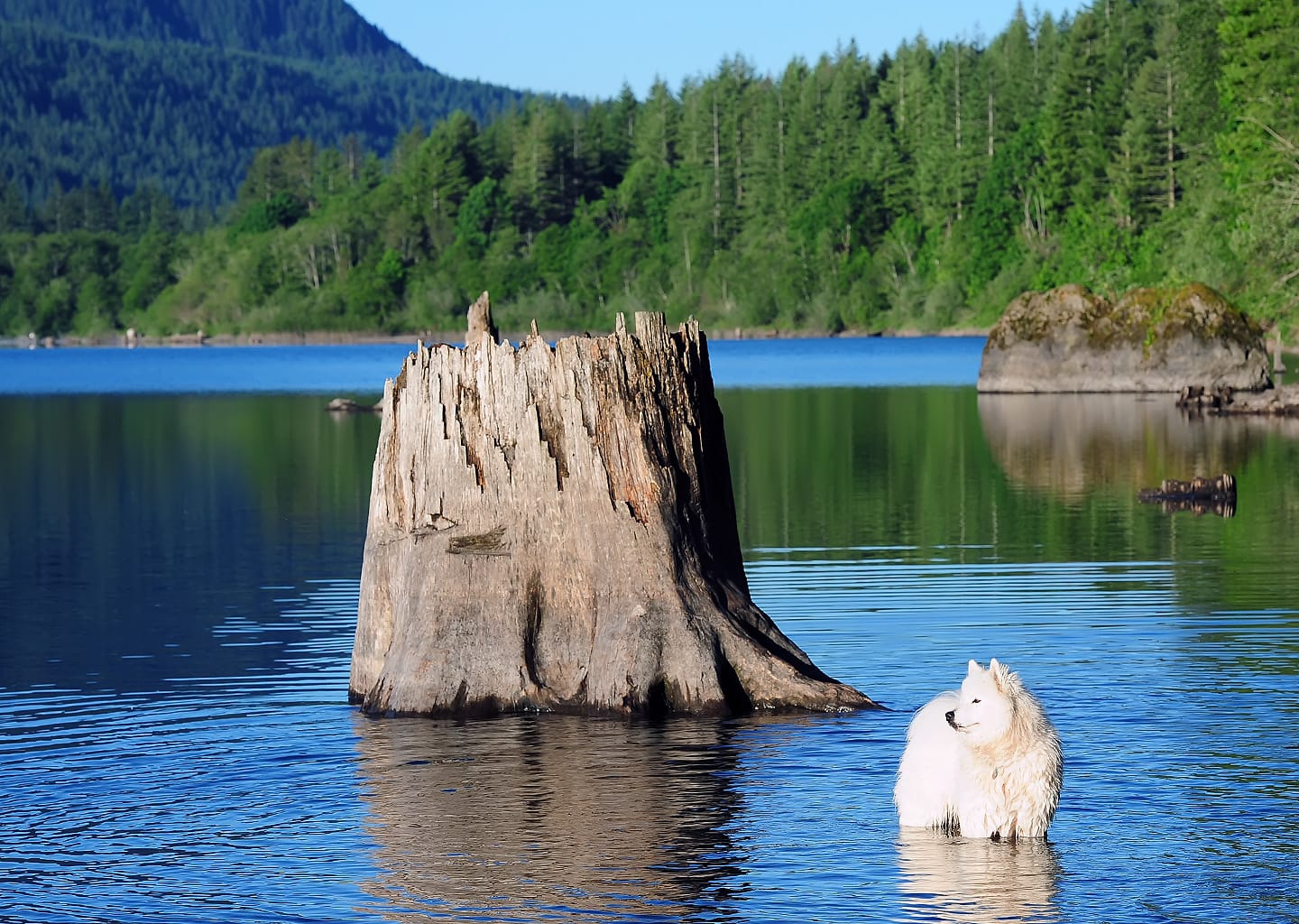
Gingko Petrified Forest is just outside the small town of Vantage where I-90 crosses the Columbia River. It's rarely visited, so Jamie and Alice got to run off-leash there when we had the place to ourselves.
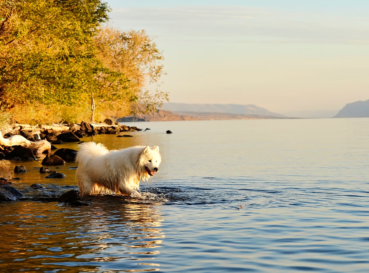
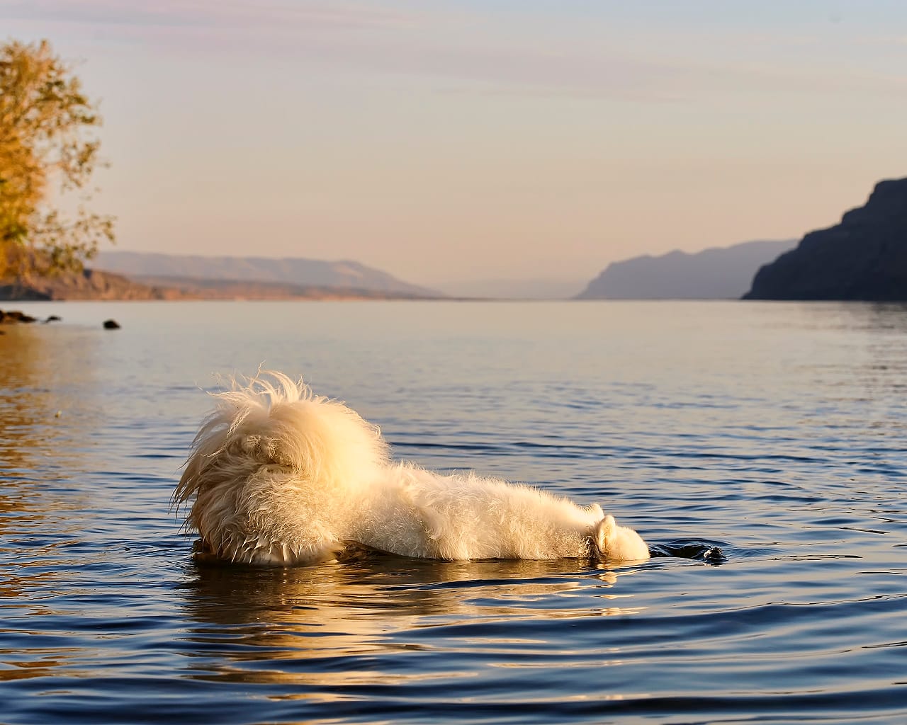
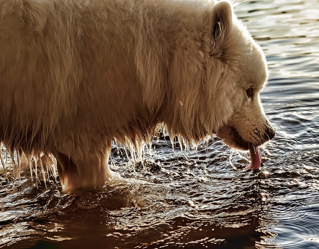
Two weeks before Alice came into his life, we took Jamie on a drive to the Columbia River for his final road trip as a solo dog. I threw a waterlogged stick out into the water, and he walked out and bobbed his head under the water to retrieve it.
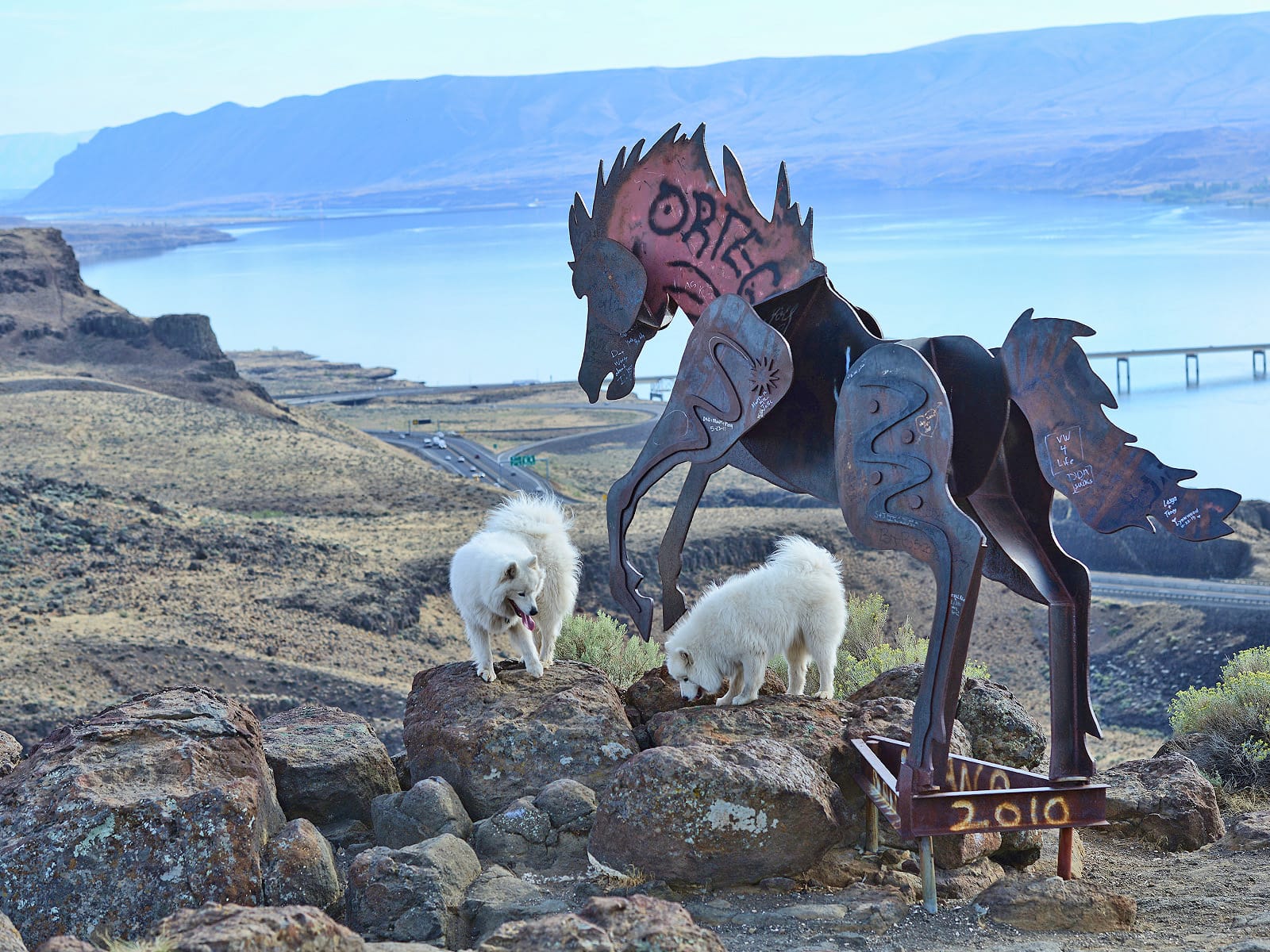
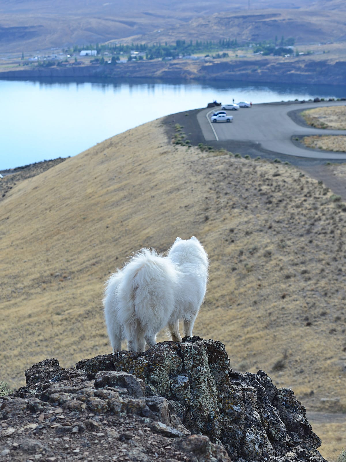
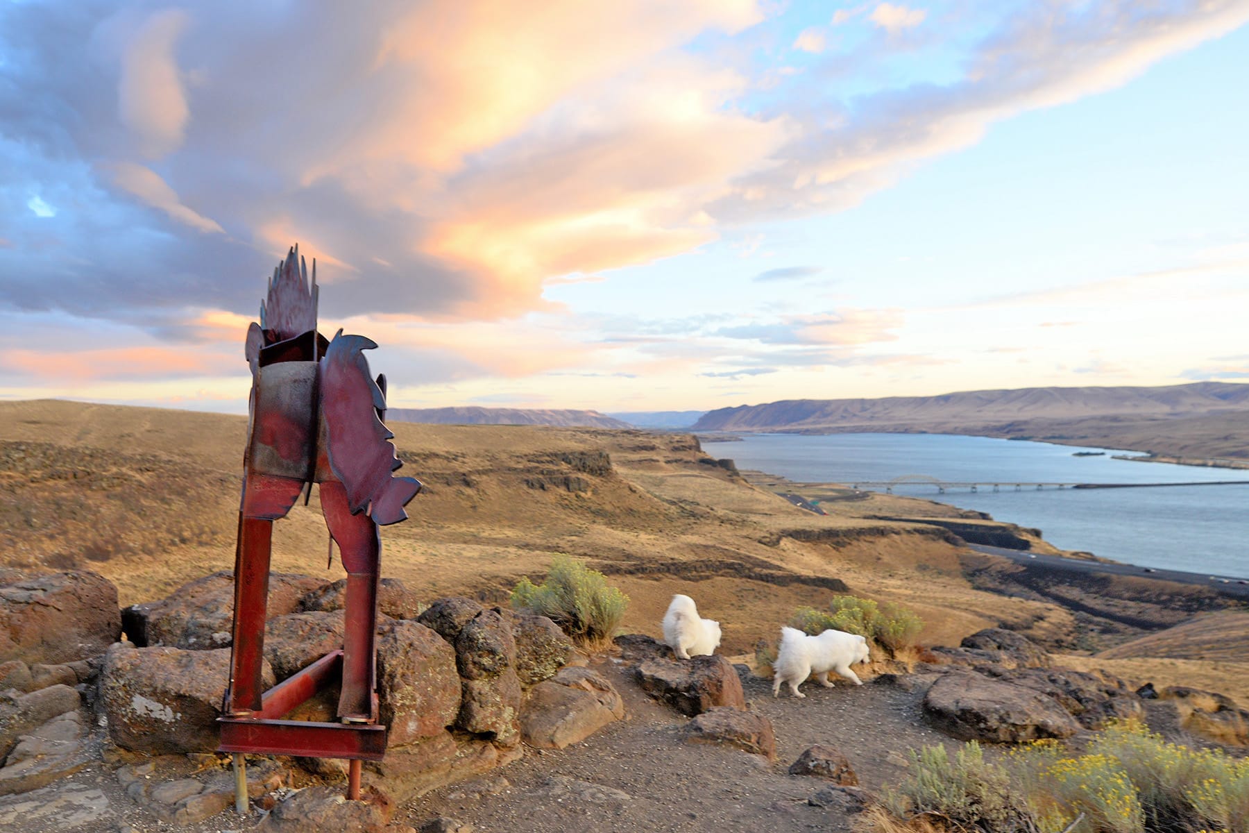
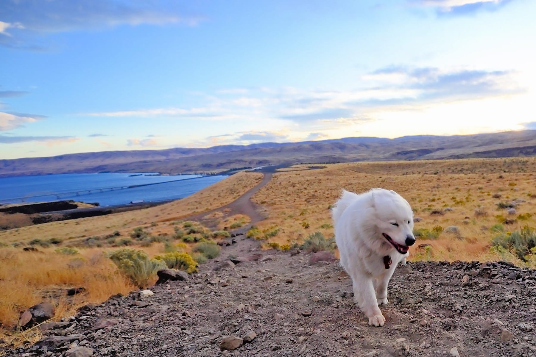
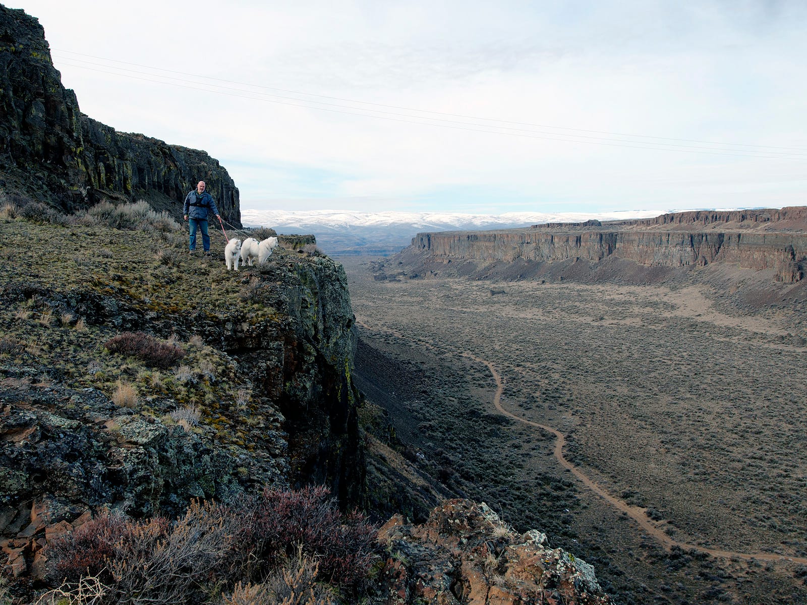
Wild Horses Monument, on the east bank of the Columbia River, is a short steep hike with spectacular views.
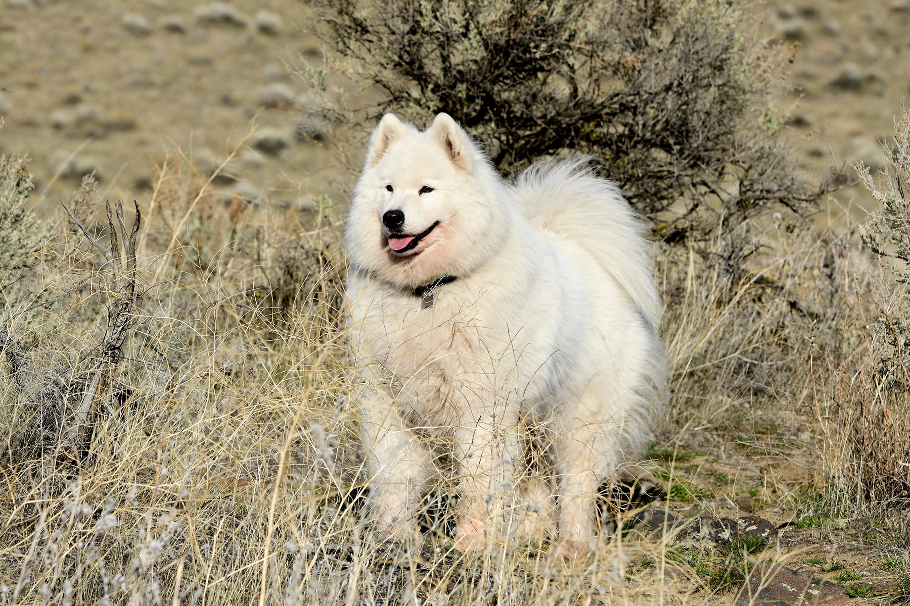
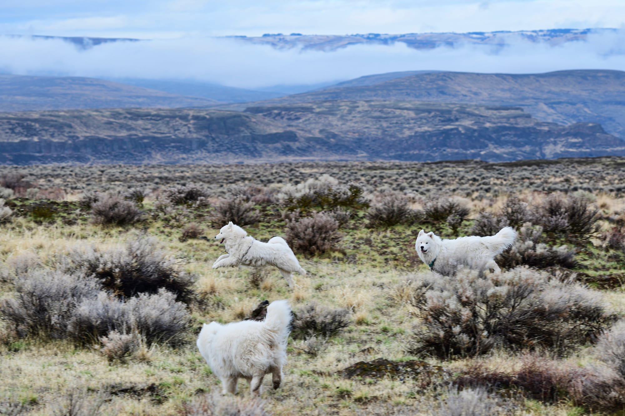
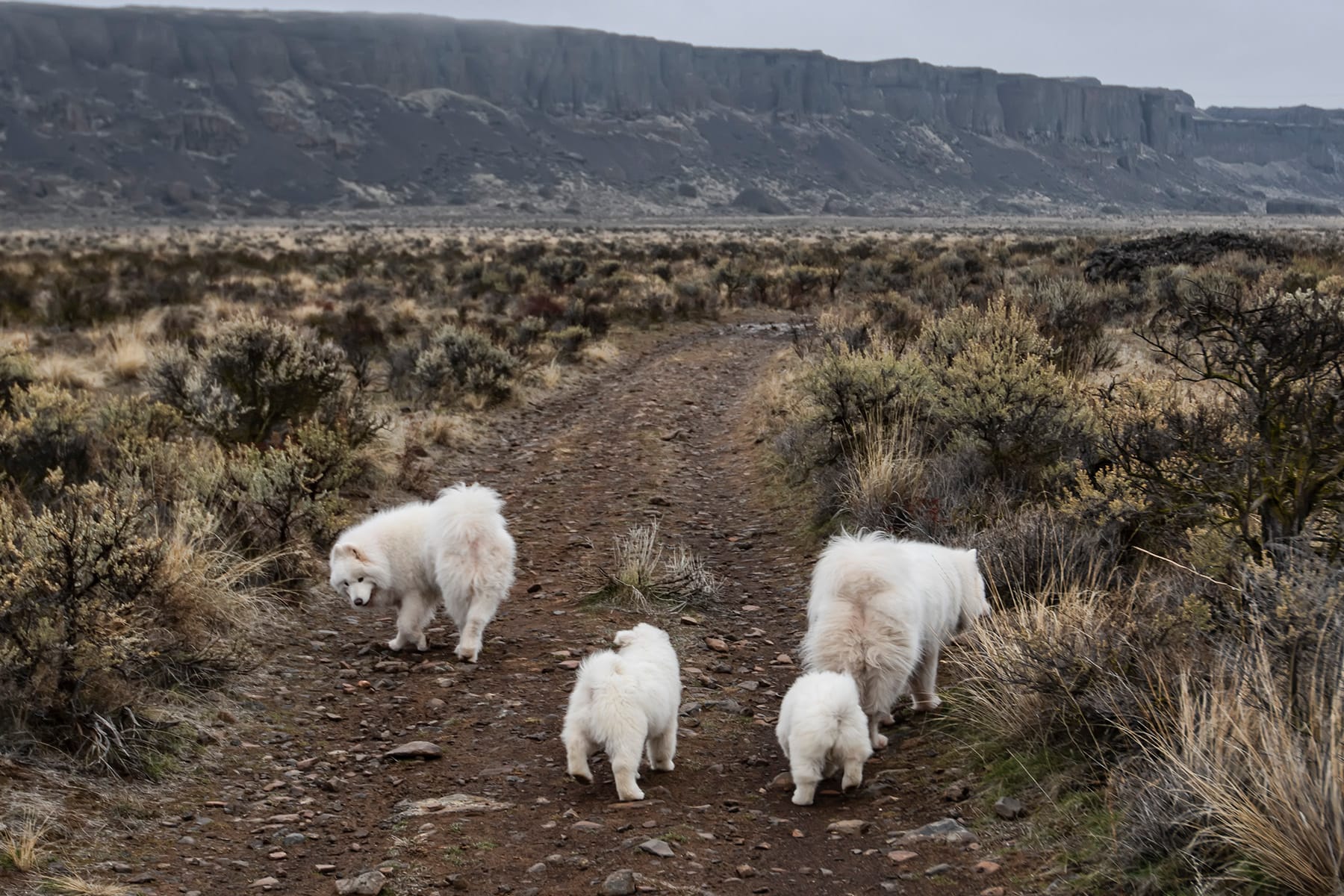
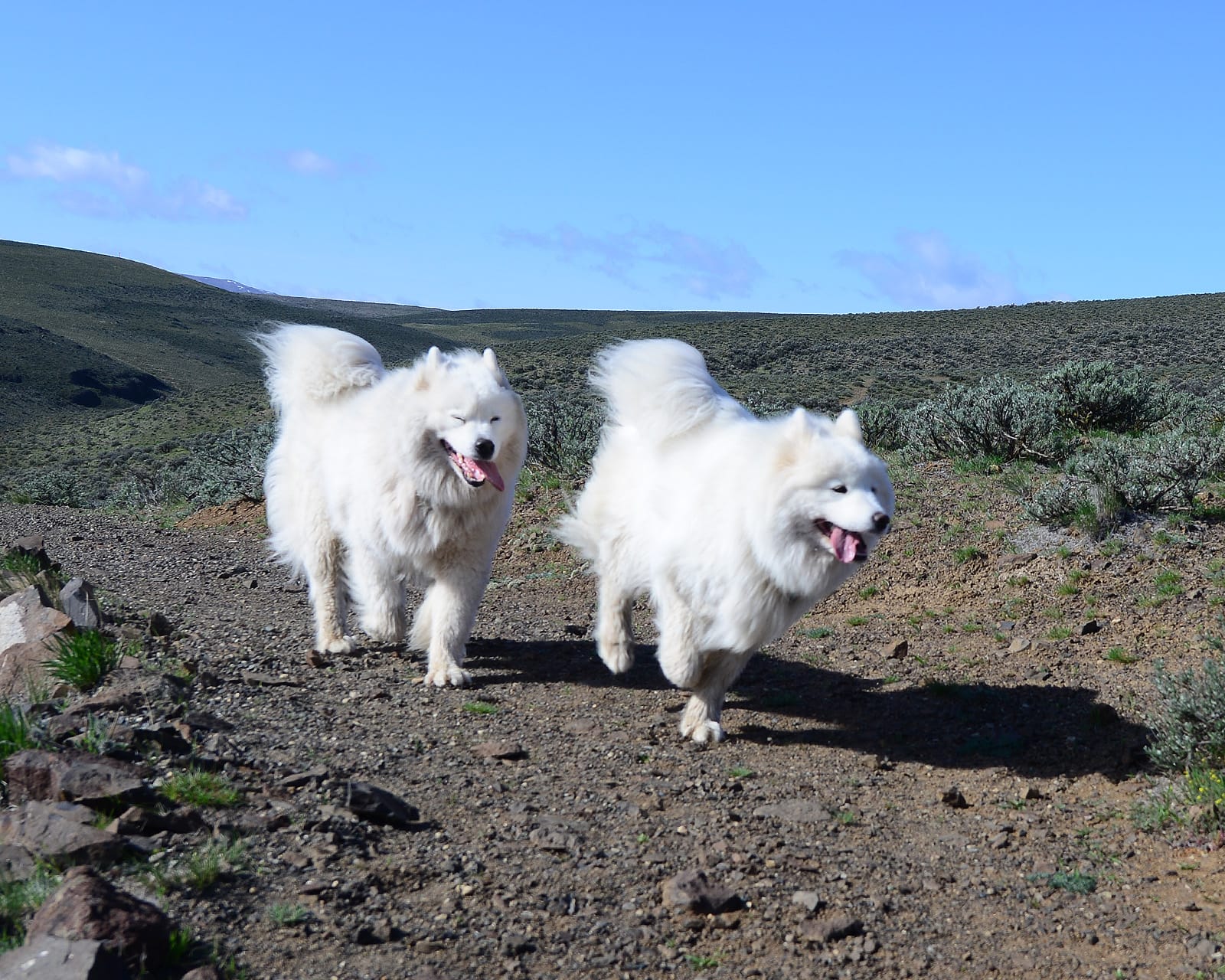
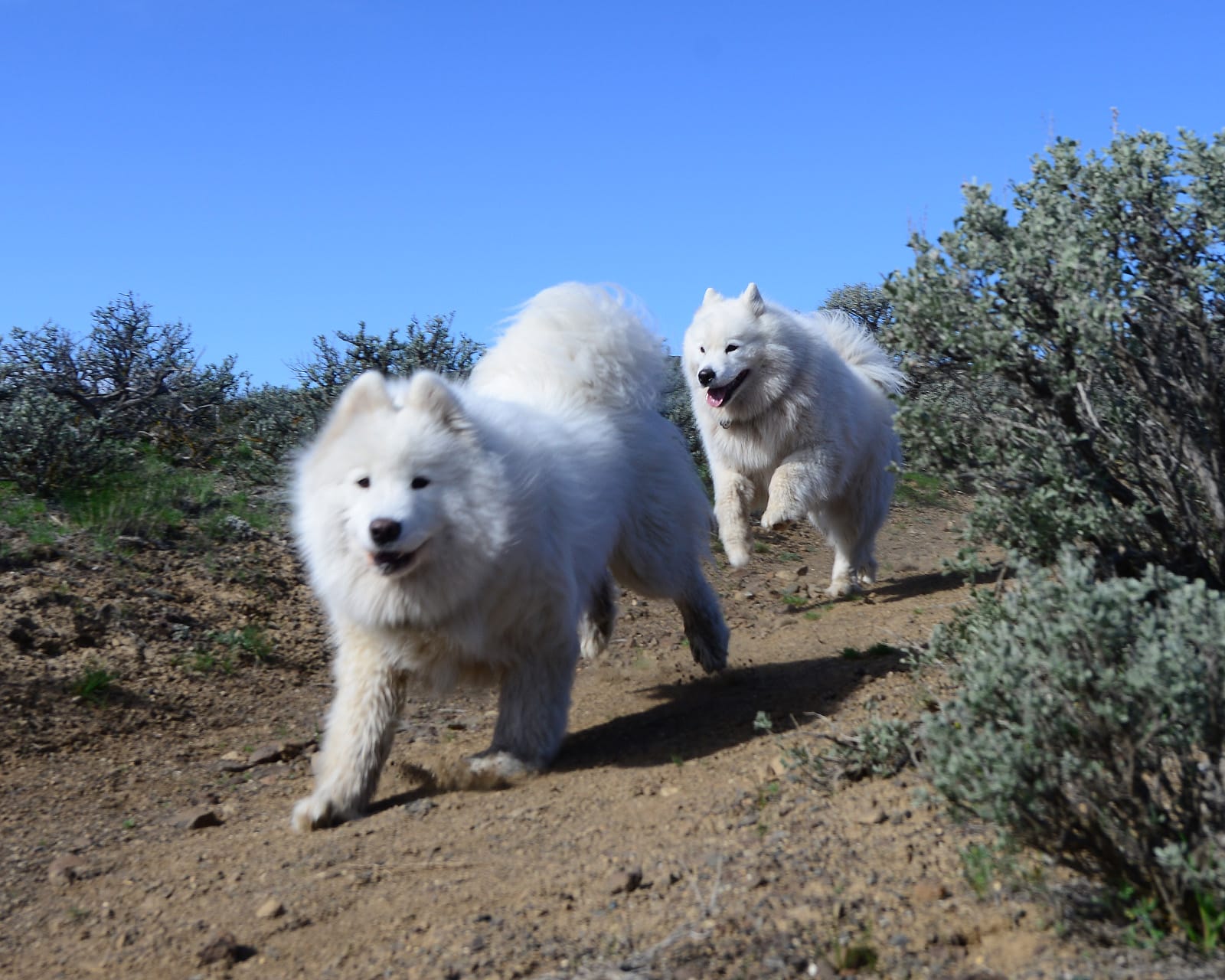
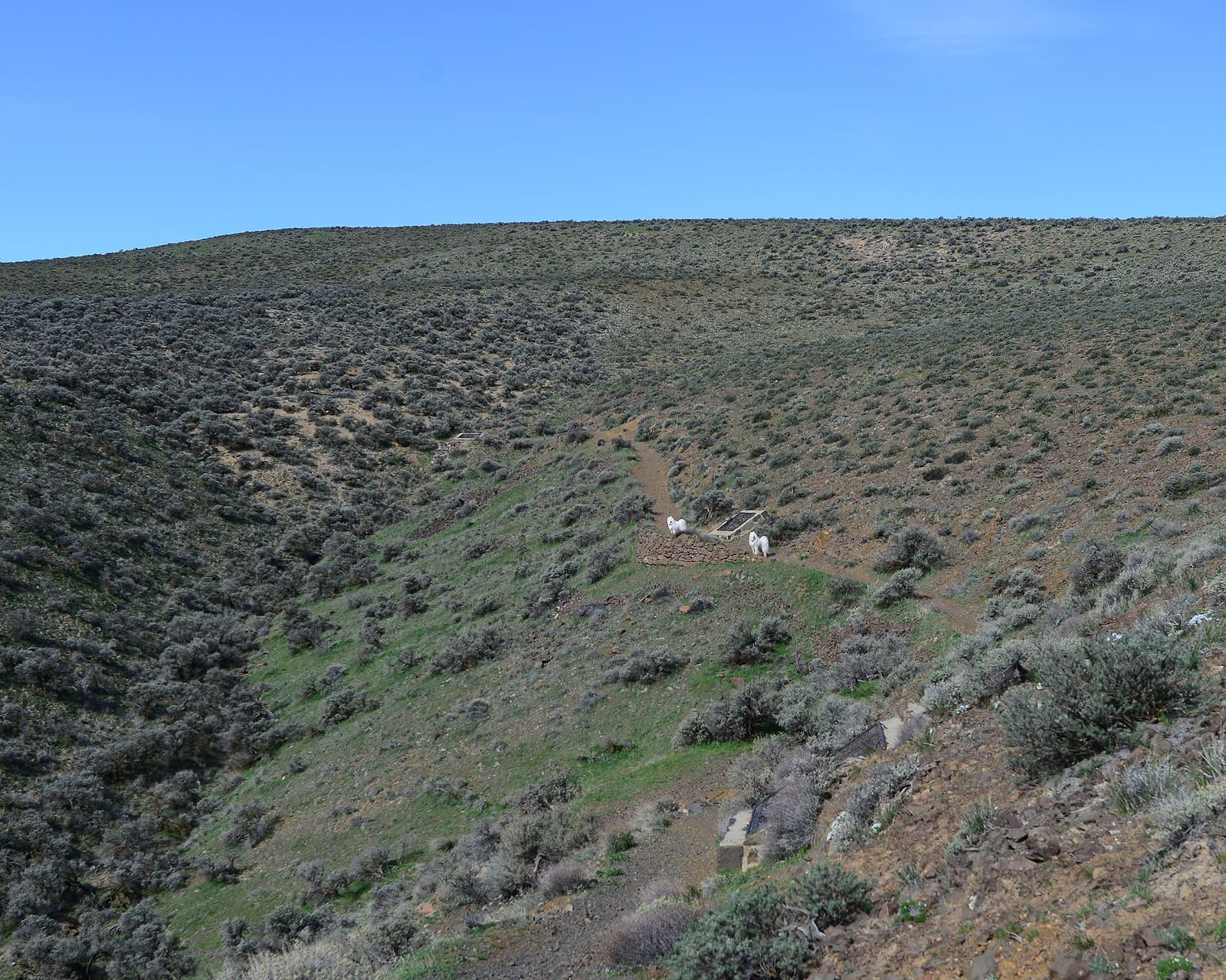
The Old Vantage Highway at Frenchman Coulee is our favorite off-leash stop in all of Eastern Washington. It's at Exit 143 (Silica Road), between the Columbia River and Moses Lake.
Eastern Washington
After climbing out of the Columbia River gorge, I-90 crosses the relatively flat and treeless Columbia Plateau. In the next 120 miles there are only two towns (Moses Lake and Ritzville) and four rest areas, and no fun hikes near the highway.
The Sprague Lake rest area is the last rest area until Idaho.
Spokane and Couer d'Alene
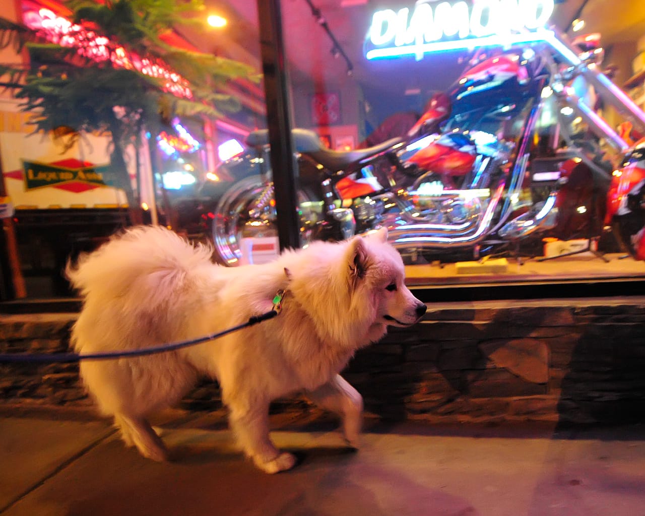
Spokane, Spokane Valley, Post Falls, and Couer d'Alene are essentially one big sprawling city that spans the Washington/Idaho border. With around 400,000 people, the Spokane area is by far the biggest city between Seattle to Butte, but there are lots of parks and places to walk dogs.
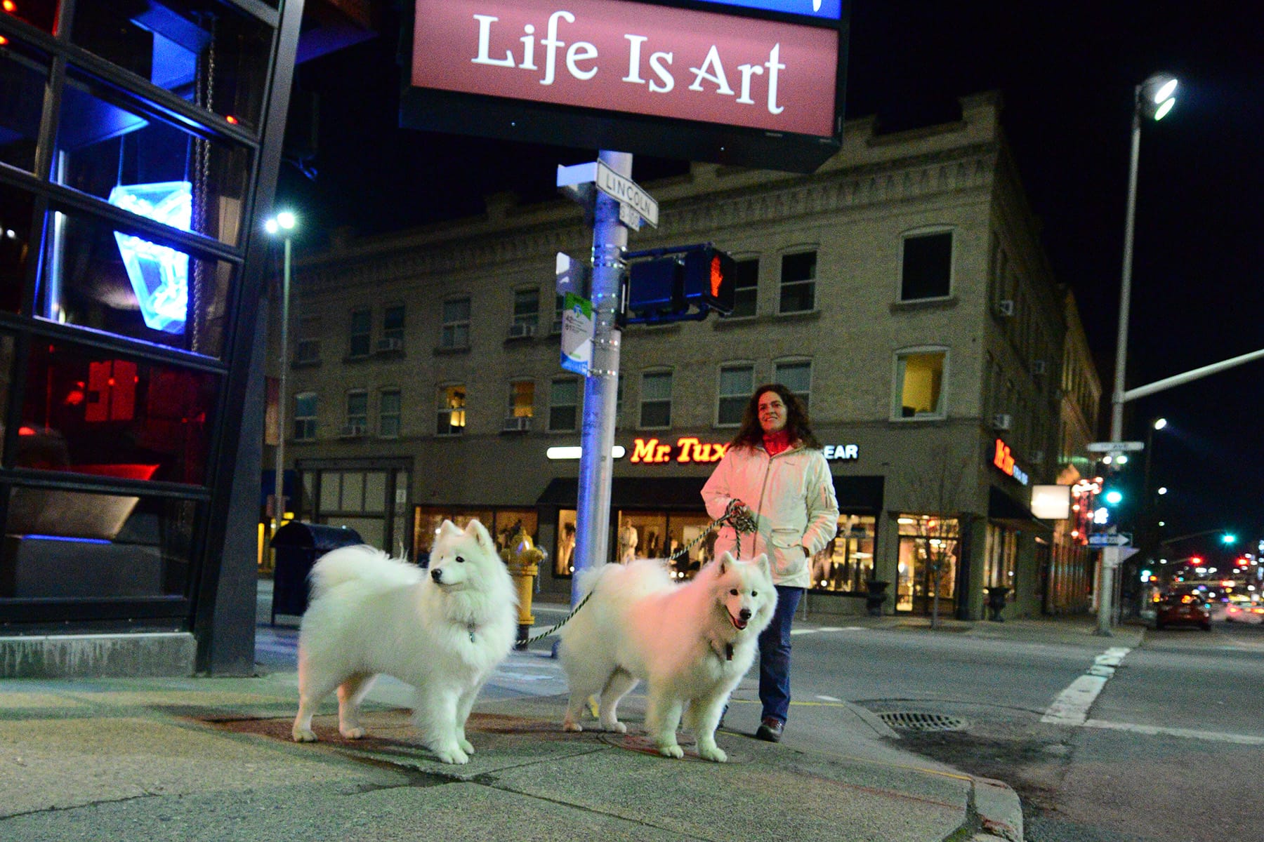
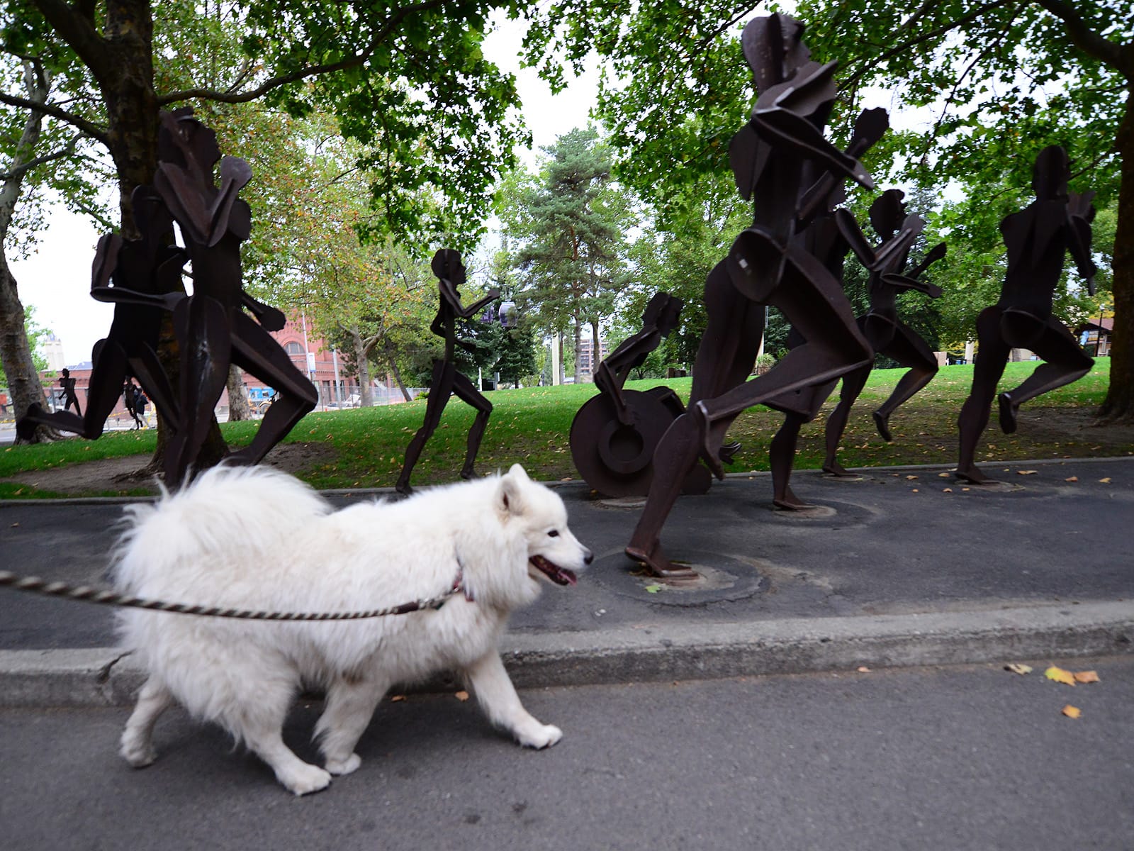
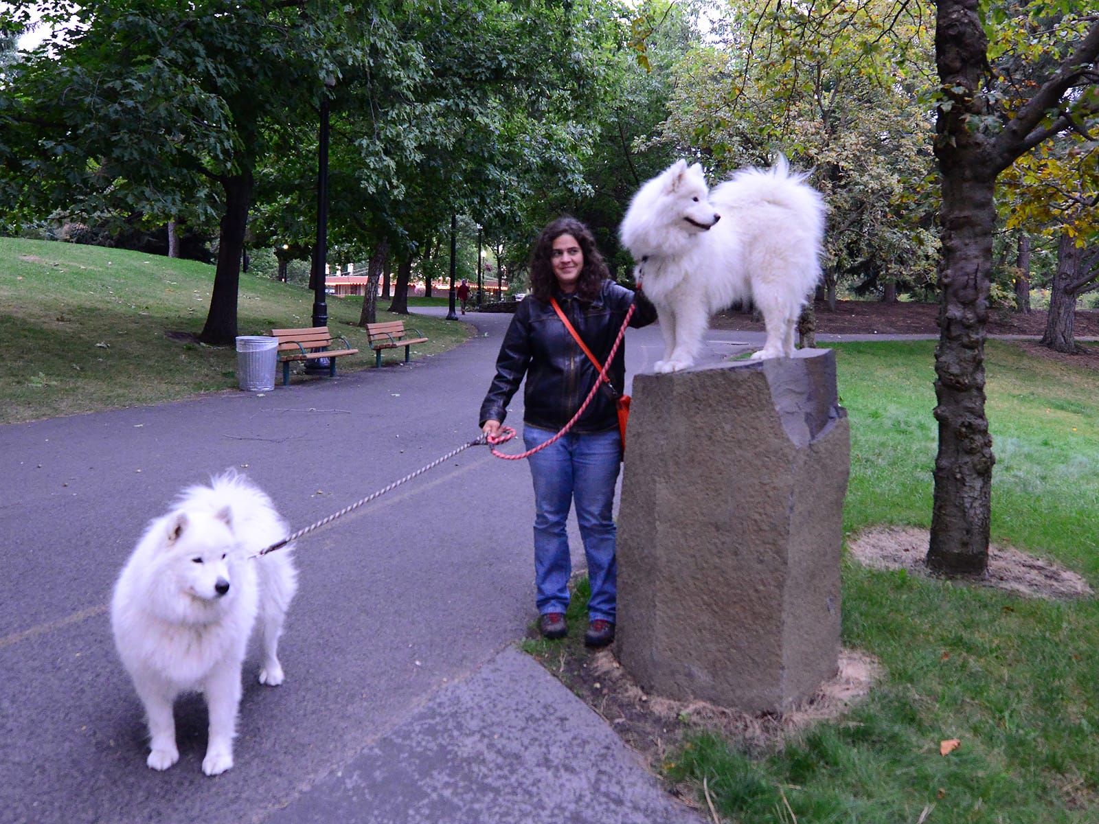
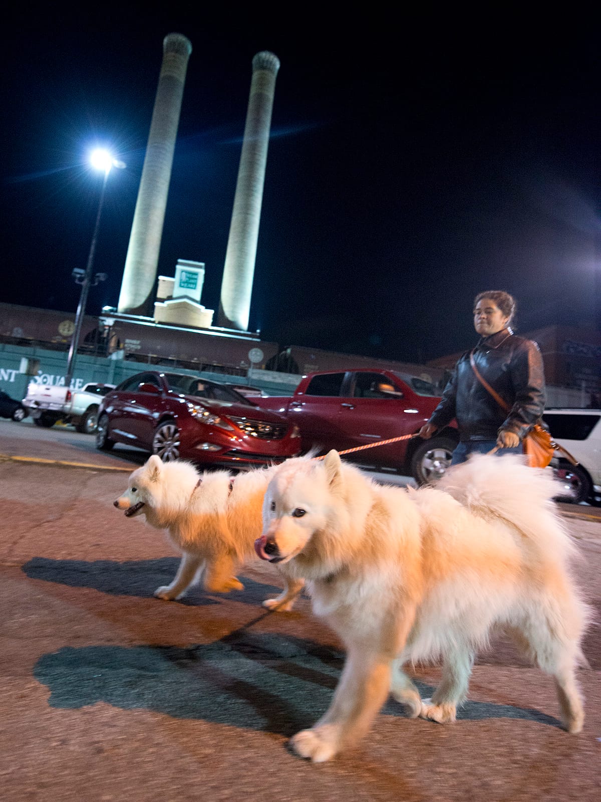
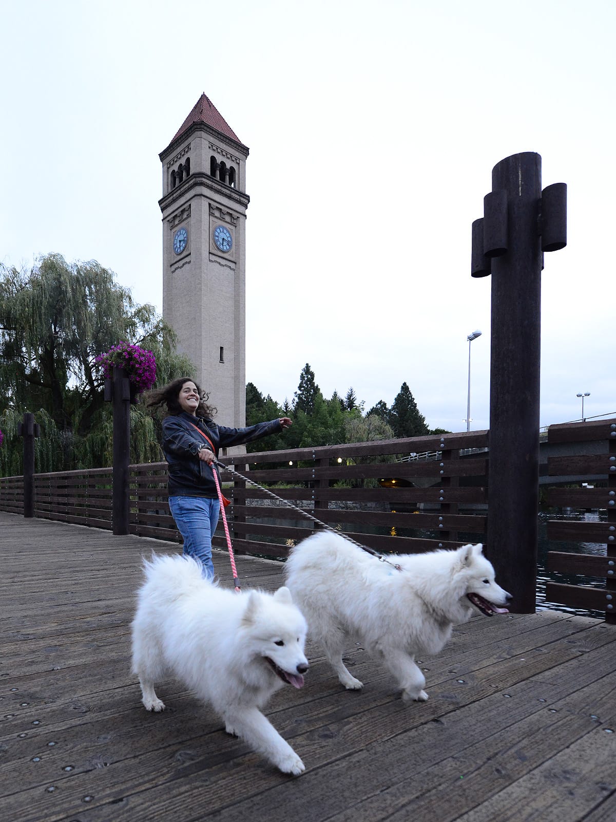
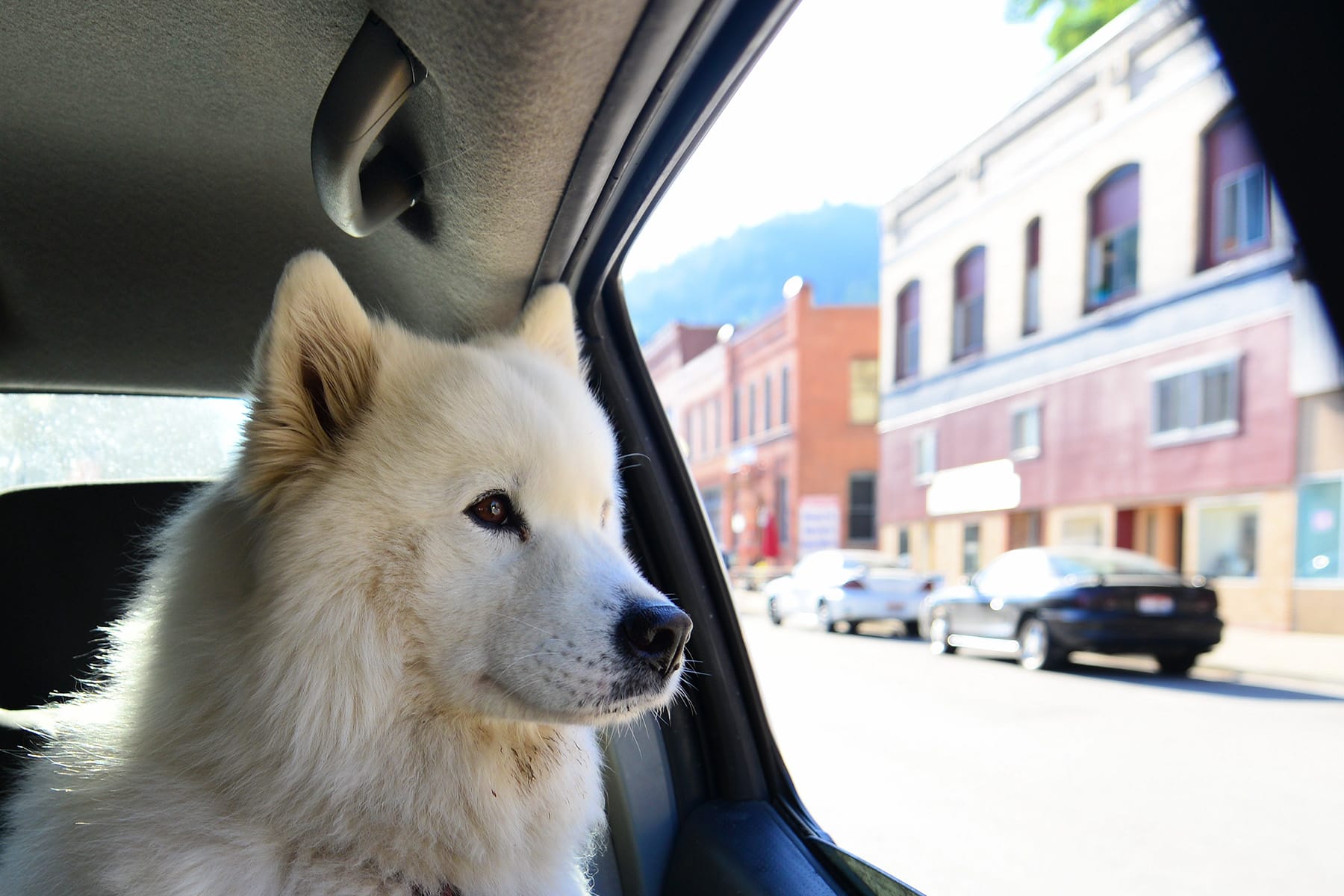
Taking walks in Spokane.
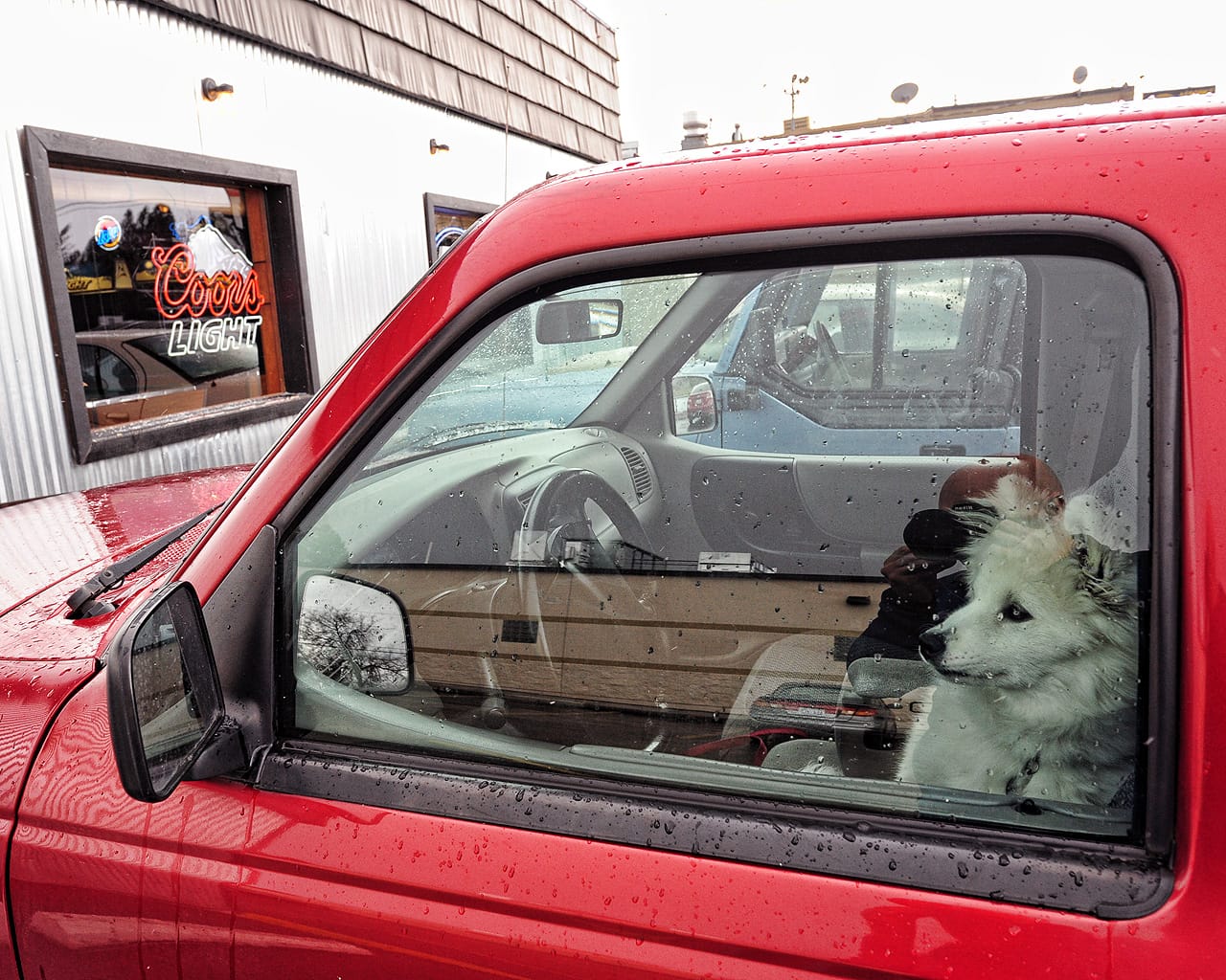
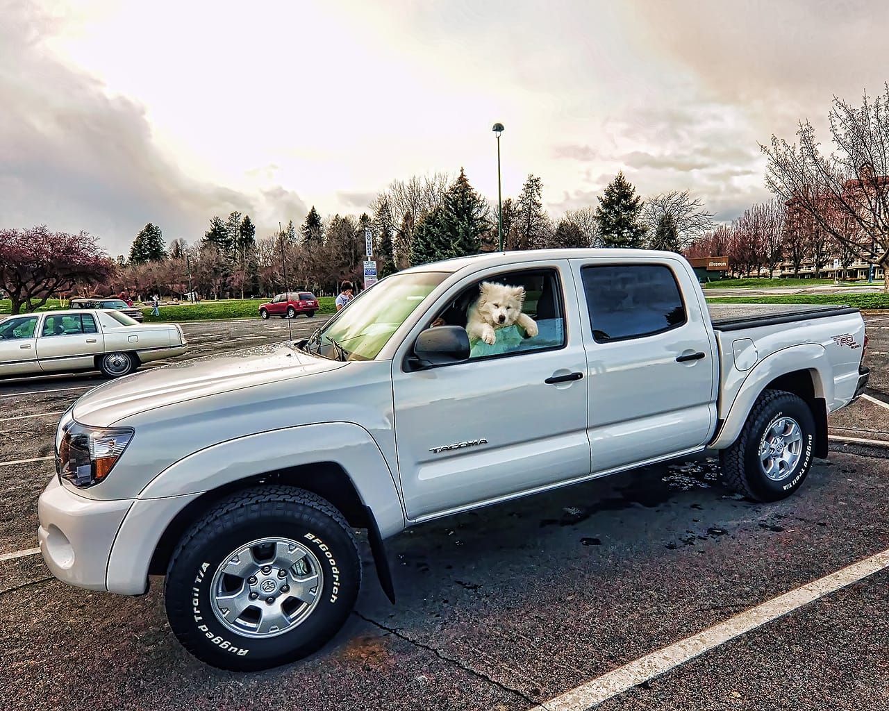
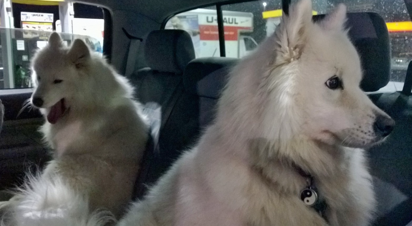
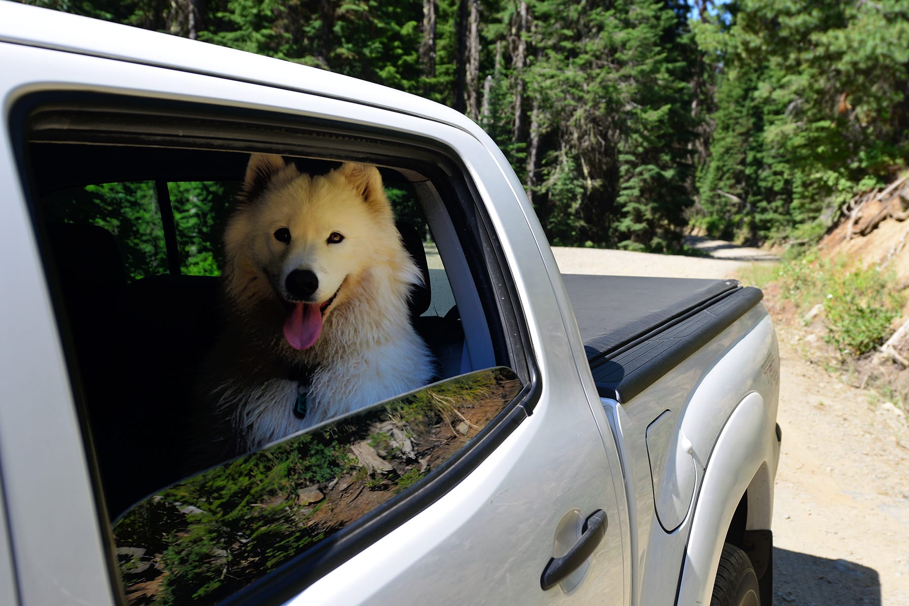
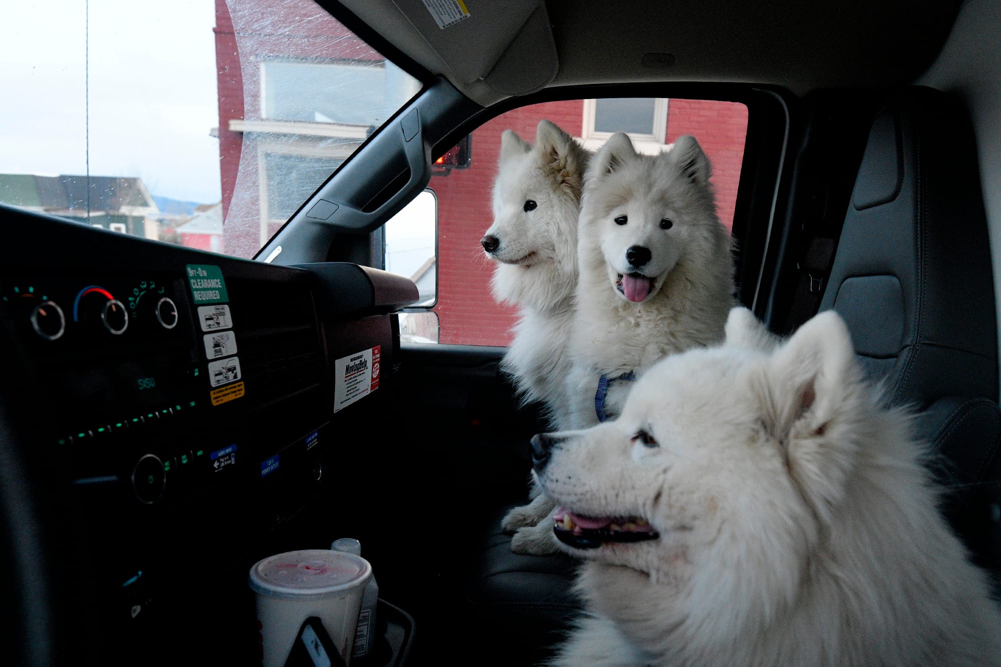
Left: Jamie in my old 1999 Ford Ranger, on the day we drove to Couer d'Alene to trade it in on a bigger pickup. Right: Jamie in his new 2010 Toyota Tacoma the next day.
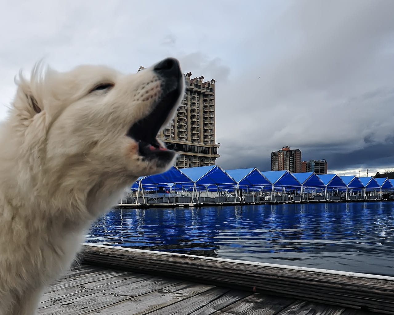
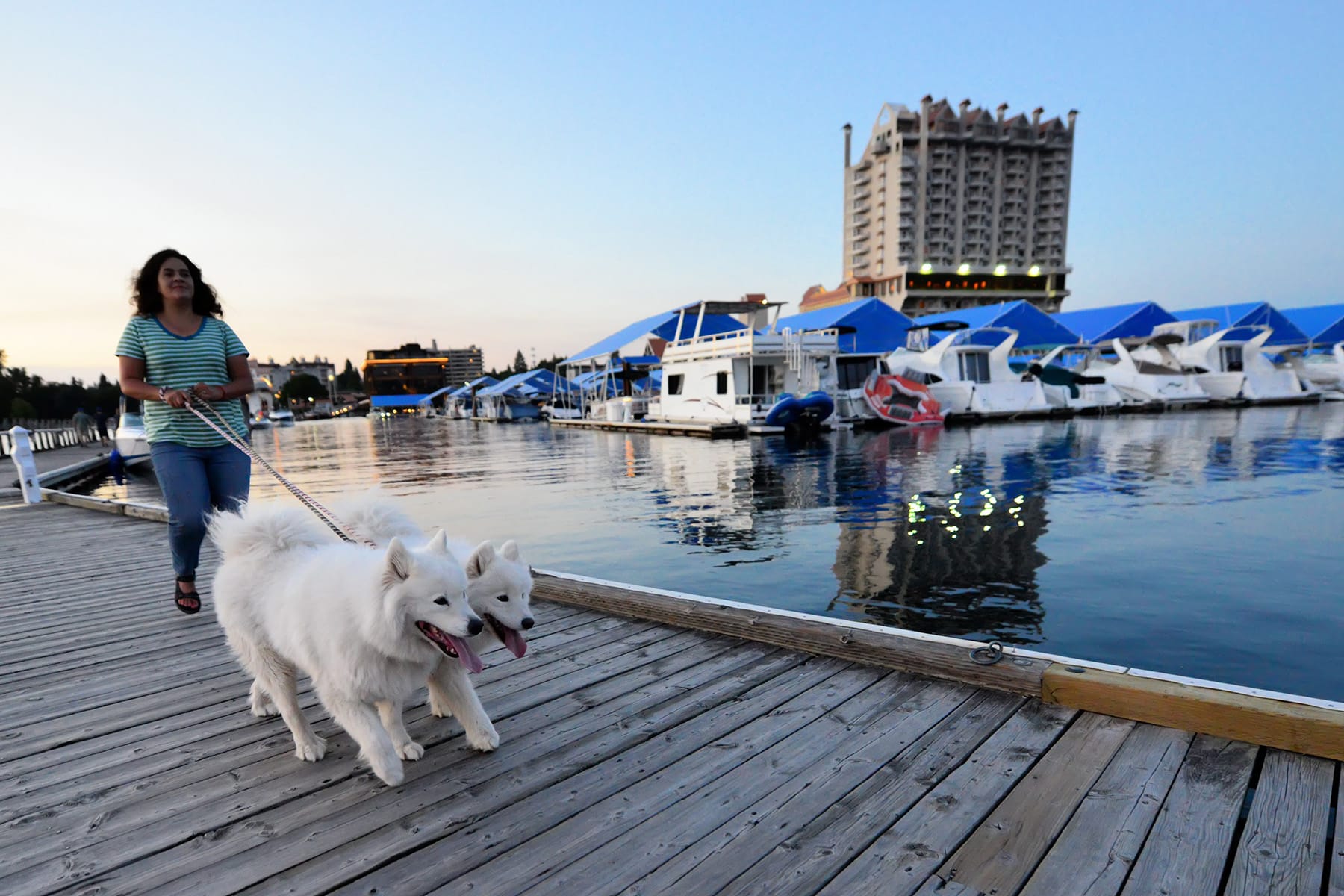
Left: Jamie stayed at Couer d'Alene Resort at age 5 months when we picked up the new truck. Right: Jamie and Alice taking a walk at the same spot in 2015.
Idaho Panhandle
After Couer d'Alene, I-90 goes up over Fourth Of July Pass, then down through the Silver Valley before climbing to the Montana border at Lookout Pass.
Exploring the Idaho Panhandle.
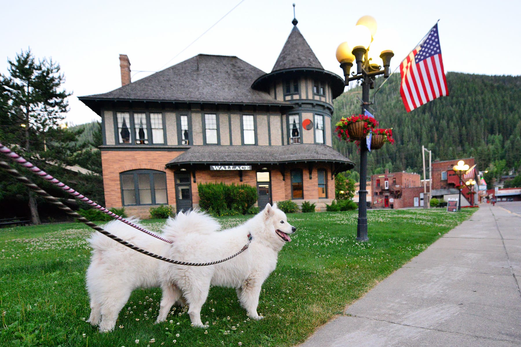
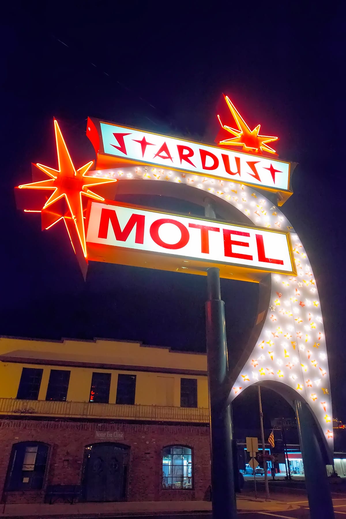
We often stop in Wallace, Idaho, a picturesque old mining town. (Like Butte!) Jamie and Alice stayed at the Stardust motel a few times.
Western Montana
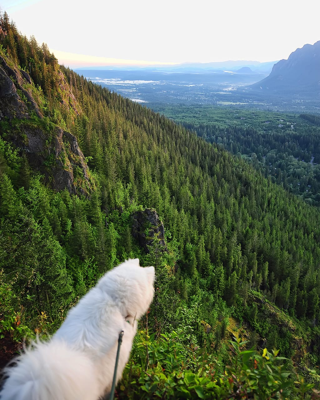
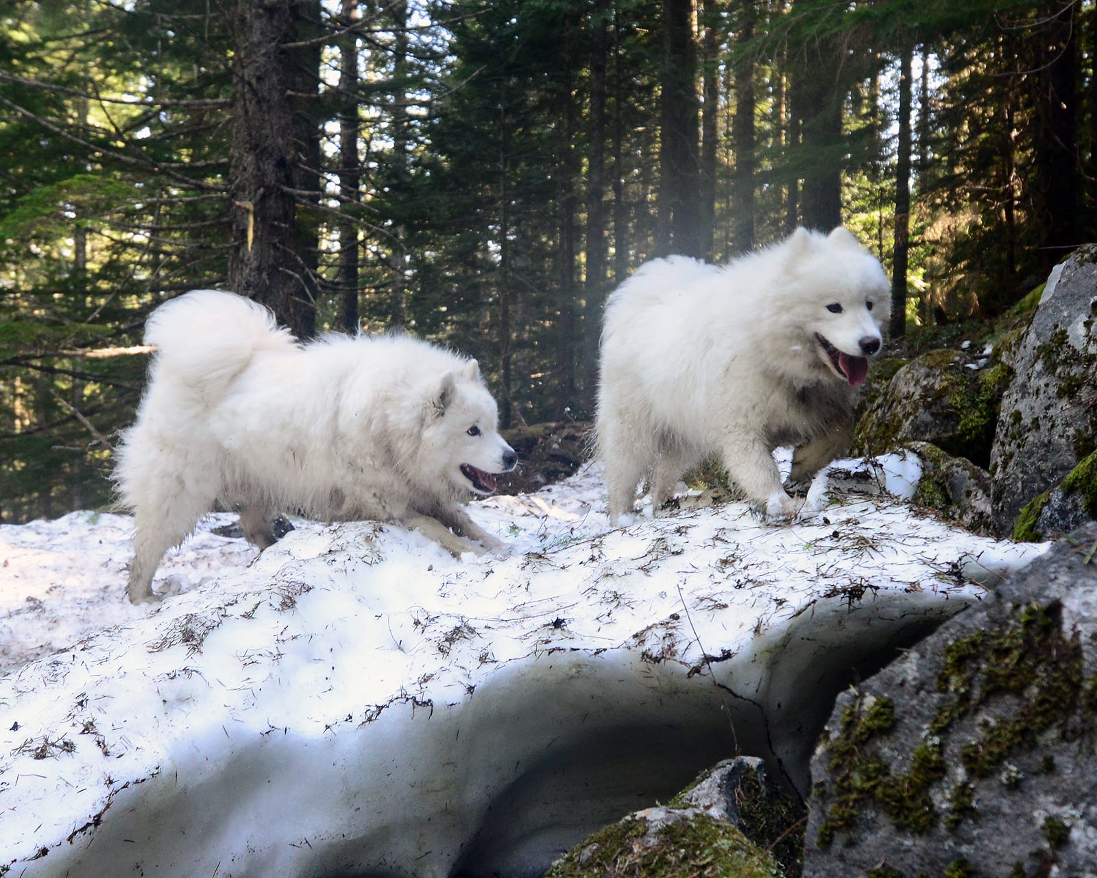
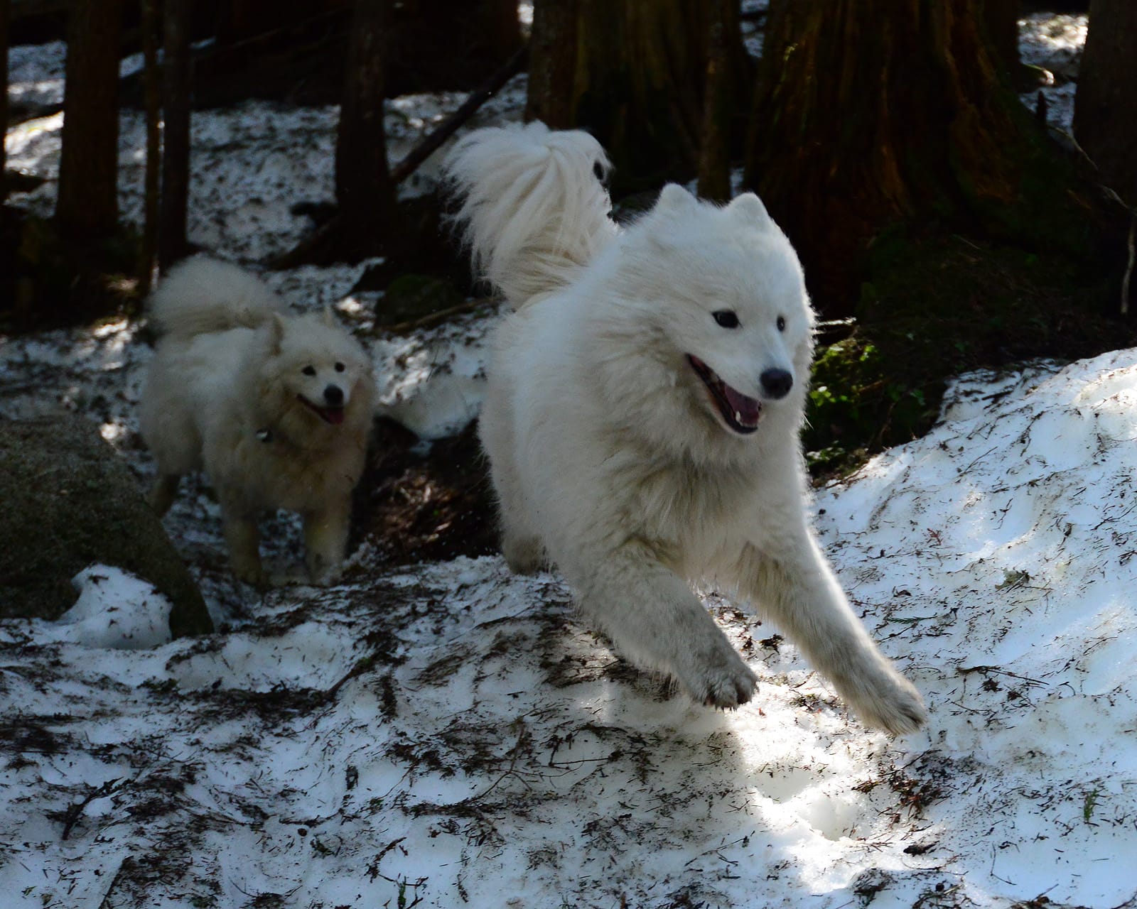
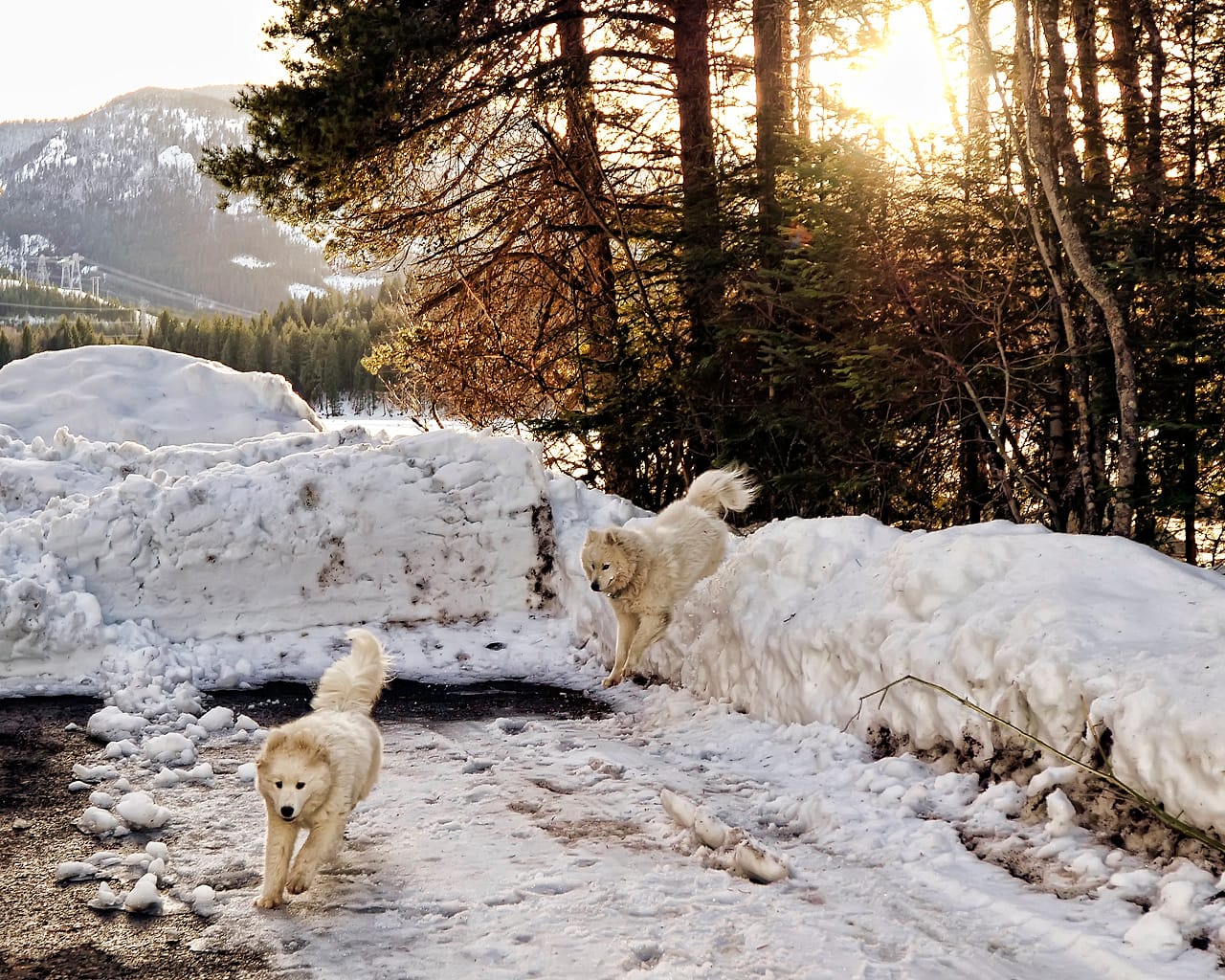
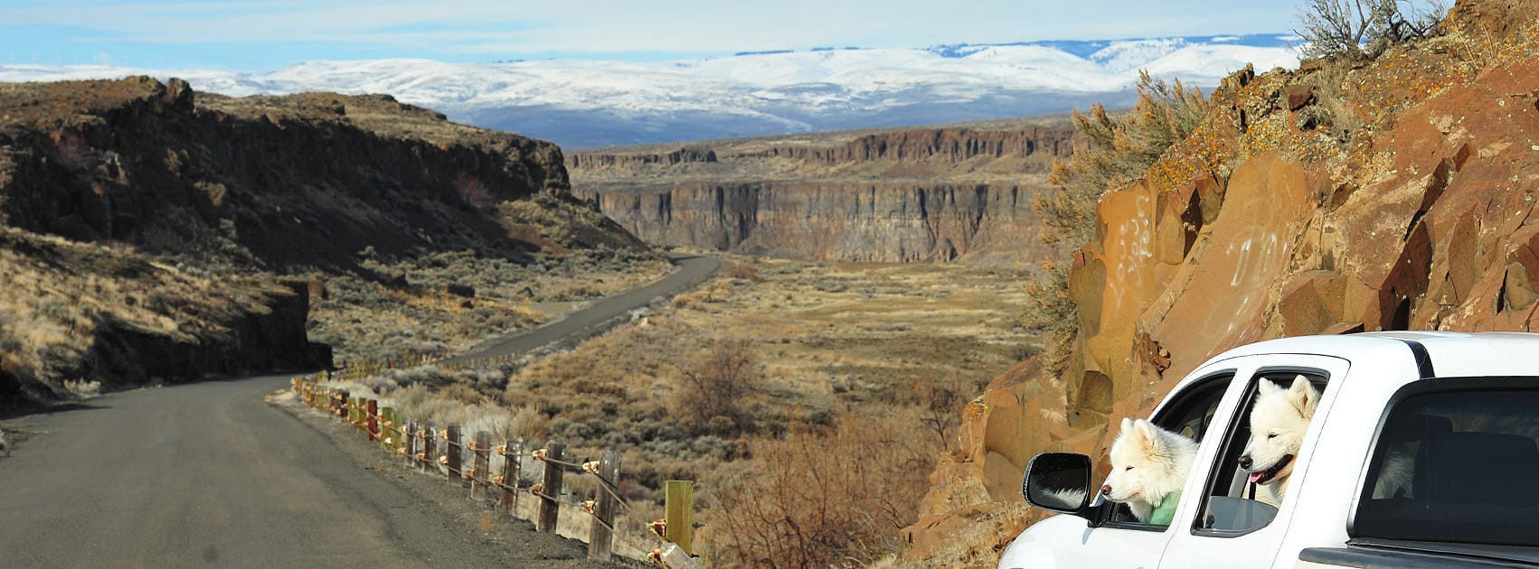
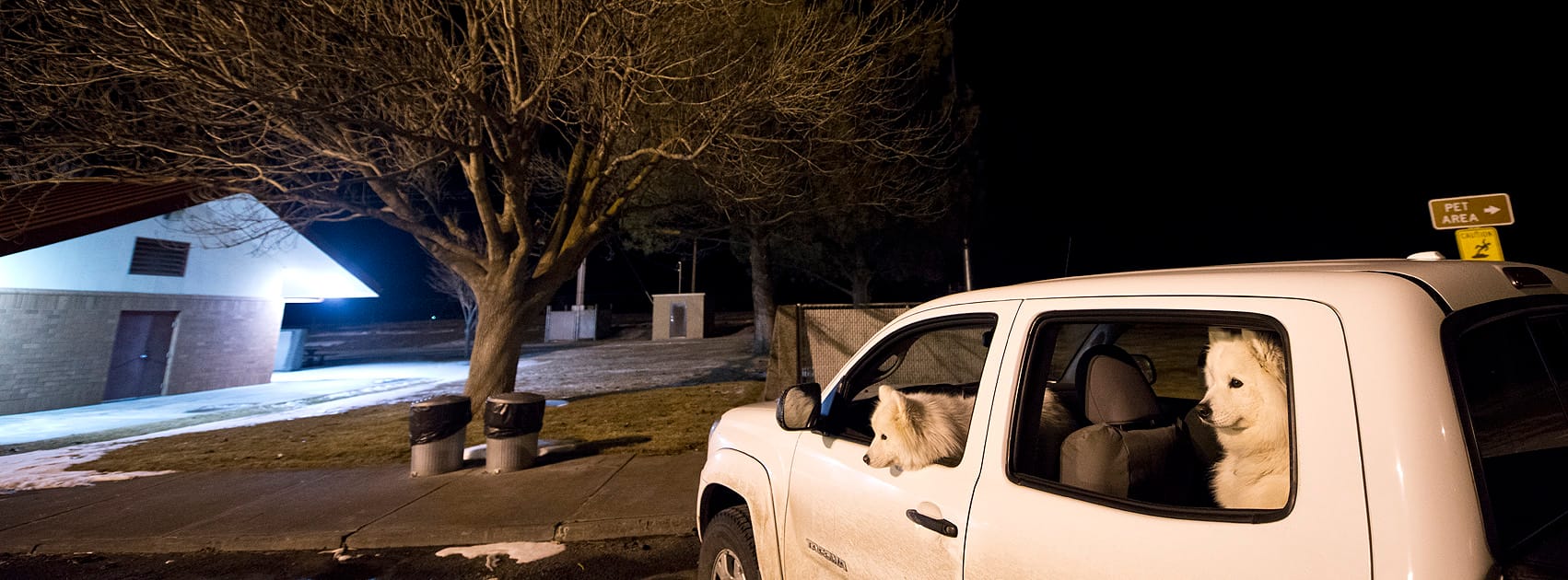
Lookout Pass, at 4,710 feet above sea level, is the highest point in the westernmost 500 miles of I-90, and marks the border of Idaho and Montana. After crossing into Montana, I-90 follows the St. Regis River for 30 miles down through the foothills of the Bitterroot Mountains through the little towns of Saltese, Haugan, and De Borgia to the truck stop at St. Regis. We've drive this stretch dozens of times, in every month of the year, and in the winter it can get pretty dicey, especially on the tight curves after you get into Montana.
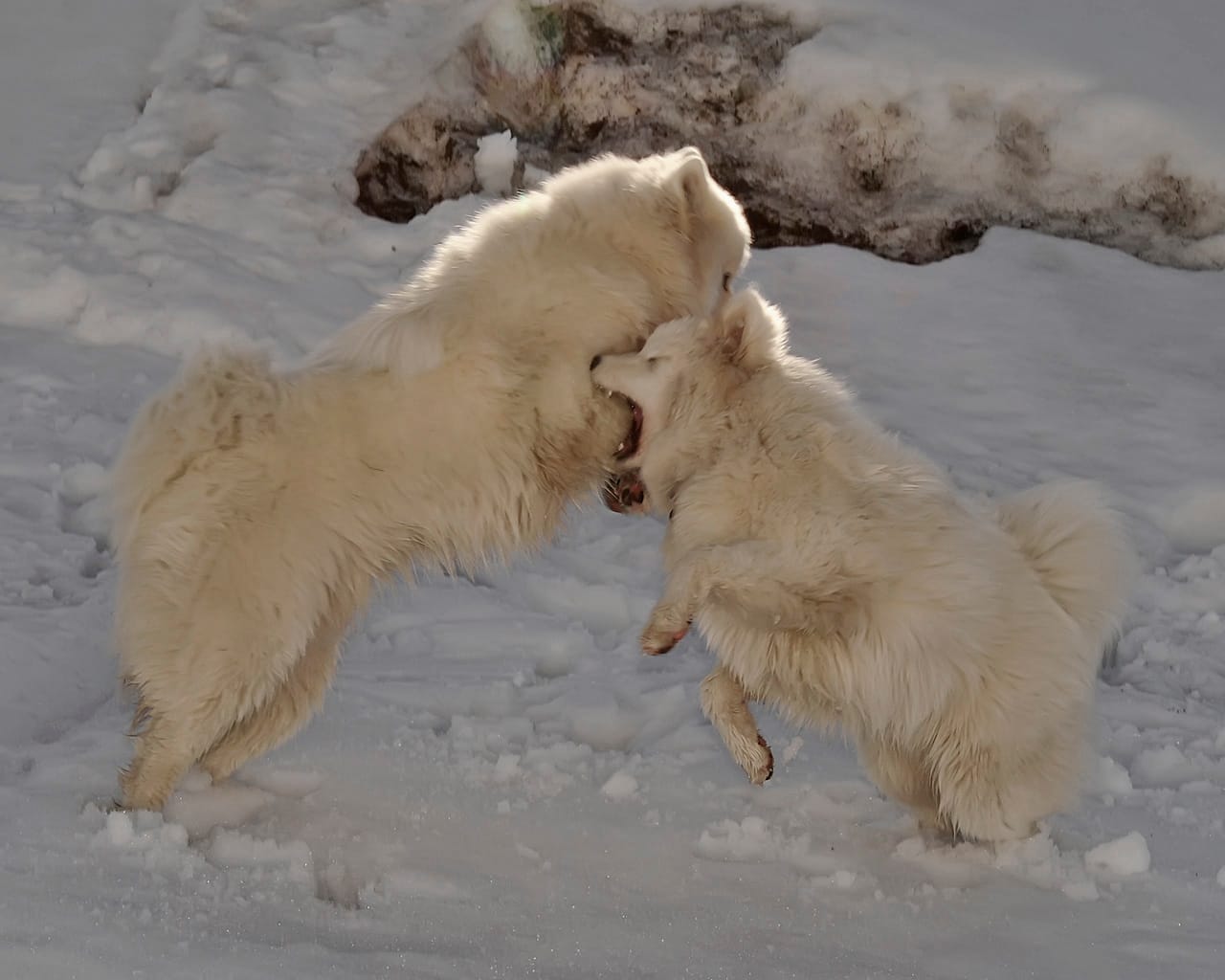
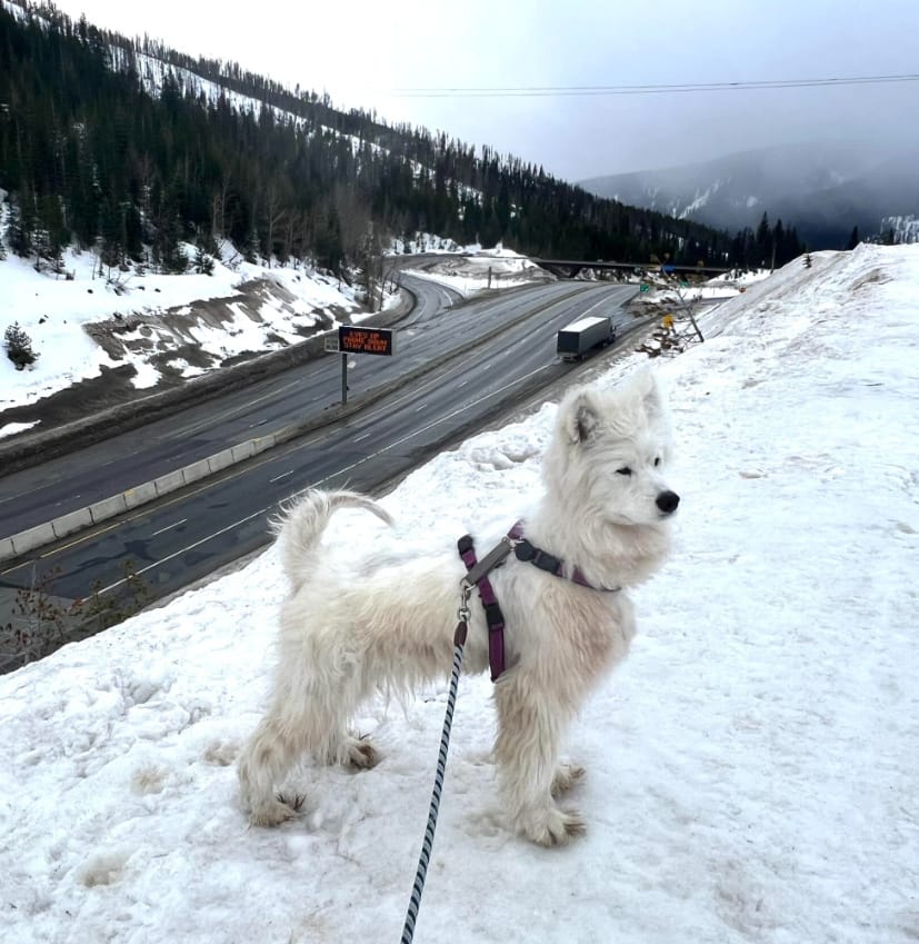
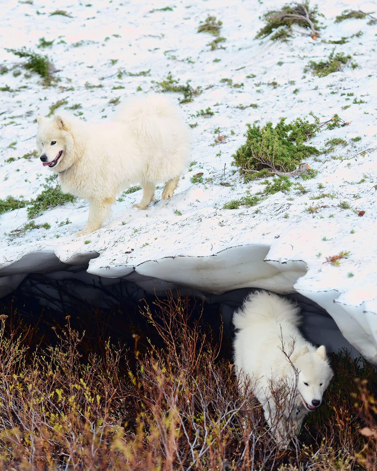
Springtime at Lookout Pass. Left: Jamie and Alice playing in the snow in May 2011. Right: Isaac taking a walk above the pass in March 2024.
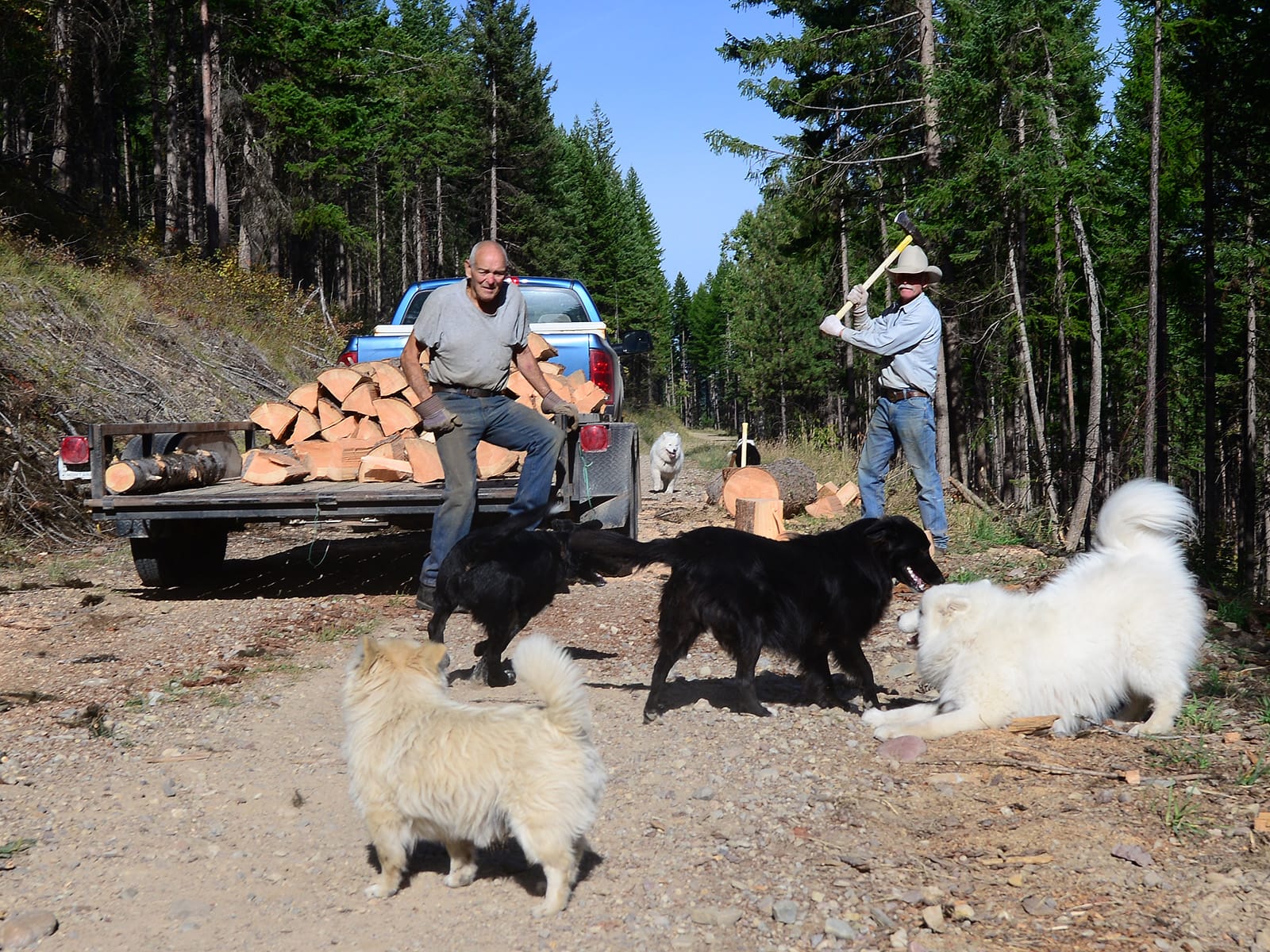
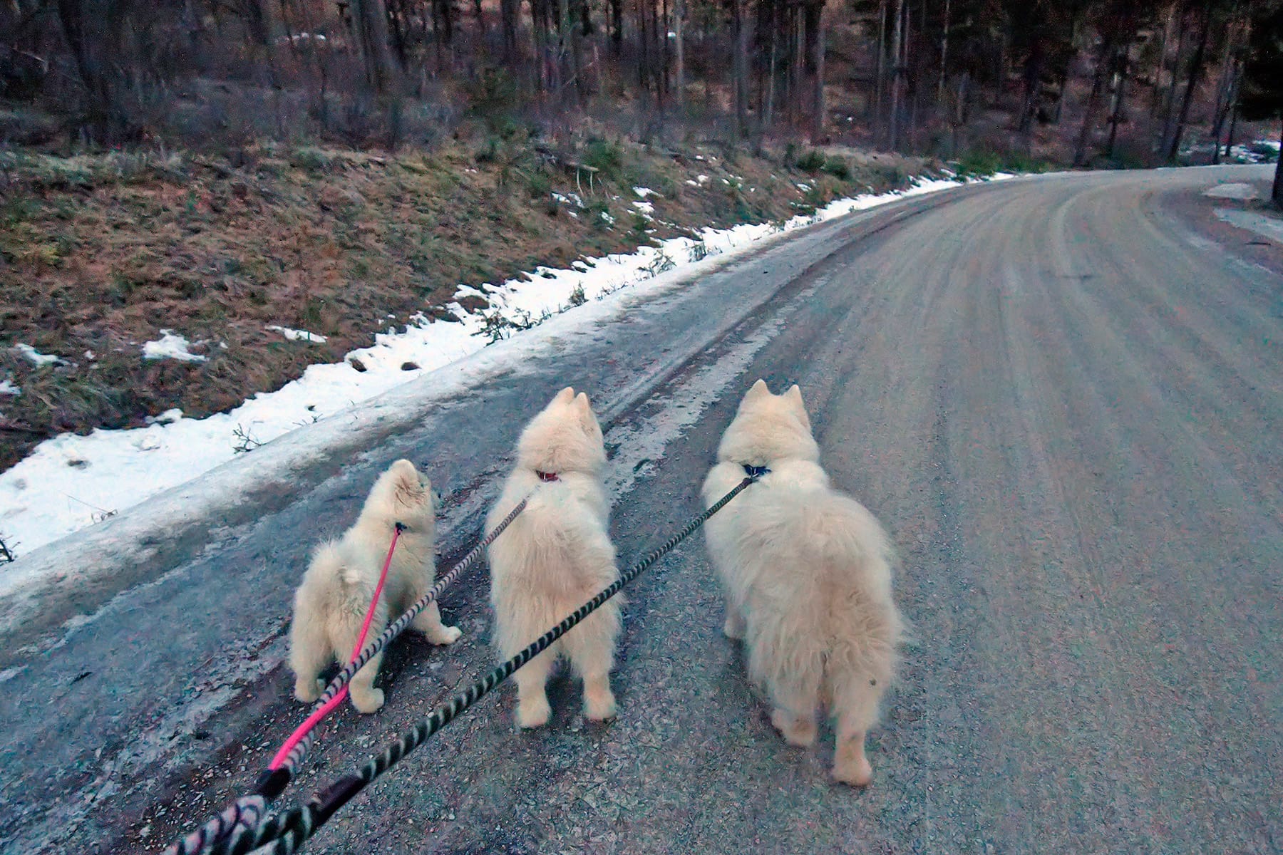
We almost always stop at the St. Regis truck stop for gas and/or snacks. It's usually very crowded there, so to get away for a walk we like to cross under I-90 and take Cold Creek Road up into the mountains. Left: Jamie and Alice met two dogs and some guys chopping firewood on Cold Creek Road in September 2013. Right: taking Nancy for a walk on Cold Creek Road while we were taking her home to Seattle after delivering her brother Strummer to his home in Montana. (That photo was taken the day after we toured the house we now live in.)
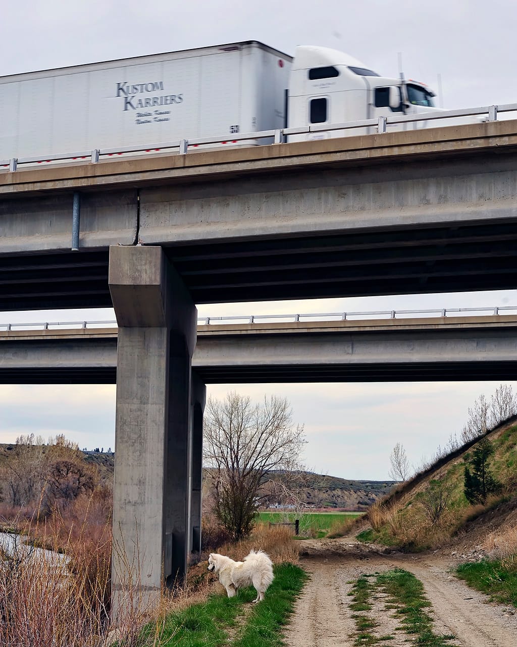
Starting at St. Regis, I-90 follows the Clark Fork River for 72 miles all the way through Missoula. It crosses over the river 15 times, and there are many exits where you can pull off and take a quick walk under the bridge, as Jamie and Alice are doing here.
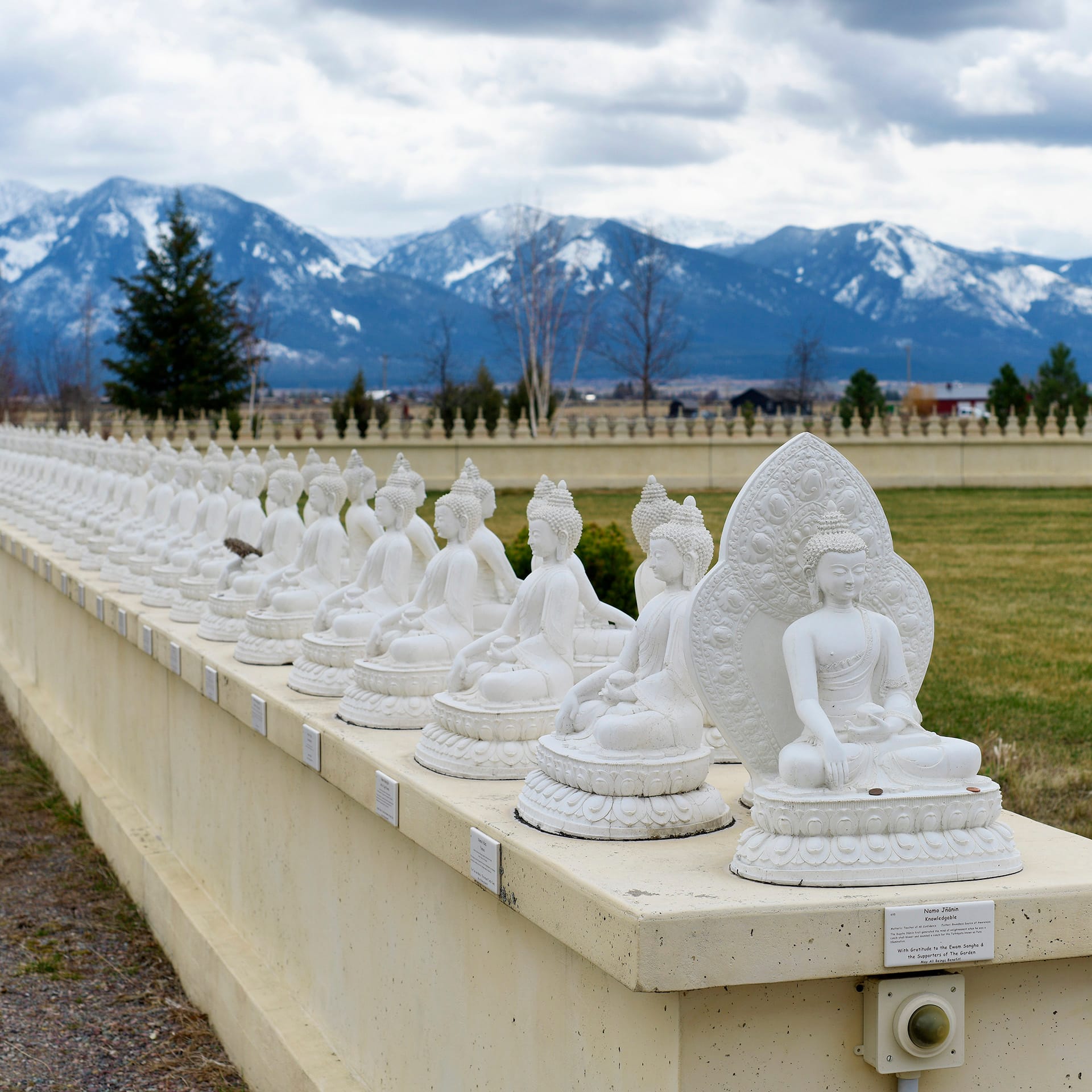
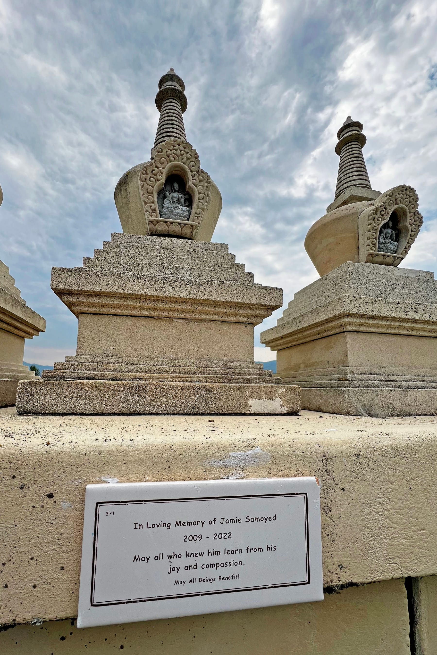
It's not a dog-friendly stop, but if you turn north on Highway 93 just west of Missoula, it's about 20 miles up to the Garden Of One Thousand Buddhas in Jocko Valley just beyond the small town of Arlee. It's a public park and Buddhist center surrounded by snow-capped mountain ranges, and on the north side of the main ring of statues there's a small plaque in memory of Jamie.
Missoula and beyond
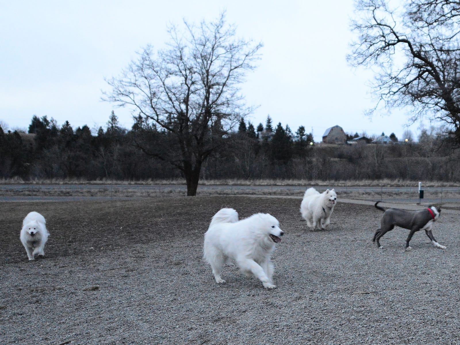
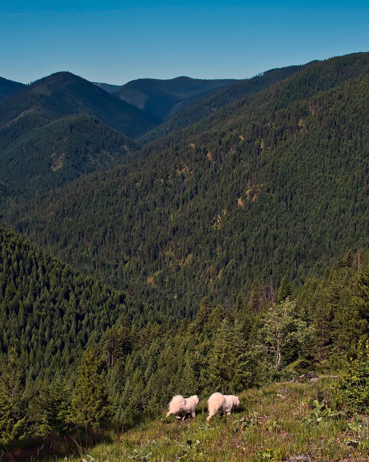
Missoula is the second biggest city of the Jamie Samoyed Memorial Highway (after Spokane), and the area around Missoula is where the terrain changes from dense forests and foothills to high plains and rocky cliffs. There are numerous trails to explore around Missoula, but we usually don't stop for long now that we live in Butte, because it's just another 90 minutes to get home.
On Jamie's first trip to Montana at age 7 months, we stopped at the Jacobs Island Off-Leash Dog Park in Missoula. That was Jamie's first time visiting a dog park (even before he got to know Marymoor Dog Park so well with Alice), and he had a blast!
We stayed at the Motel 6 in Missoula several times before we moved to Montana, on road trips to visit Noodles and Levon.
For dog walks between Missoula and Deer Lodge, the Rock Creek and Bearmouth rest areas are good options. At Deer Lodge, despite the fact you're driving east on I-90, you'll find yourself going straight south through a high open valley before passing through Warm Springs and Anaconda as you get close to Butte.
Butte area

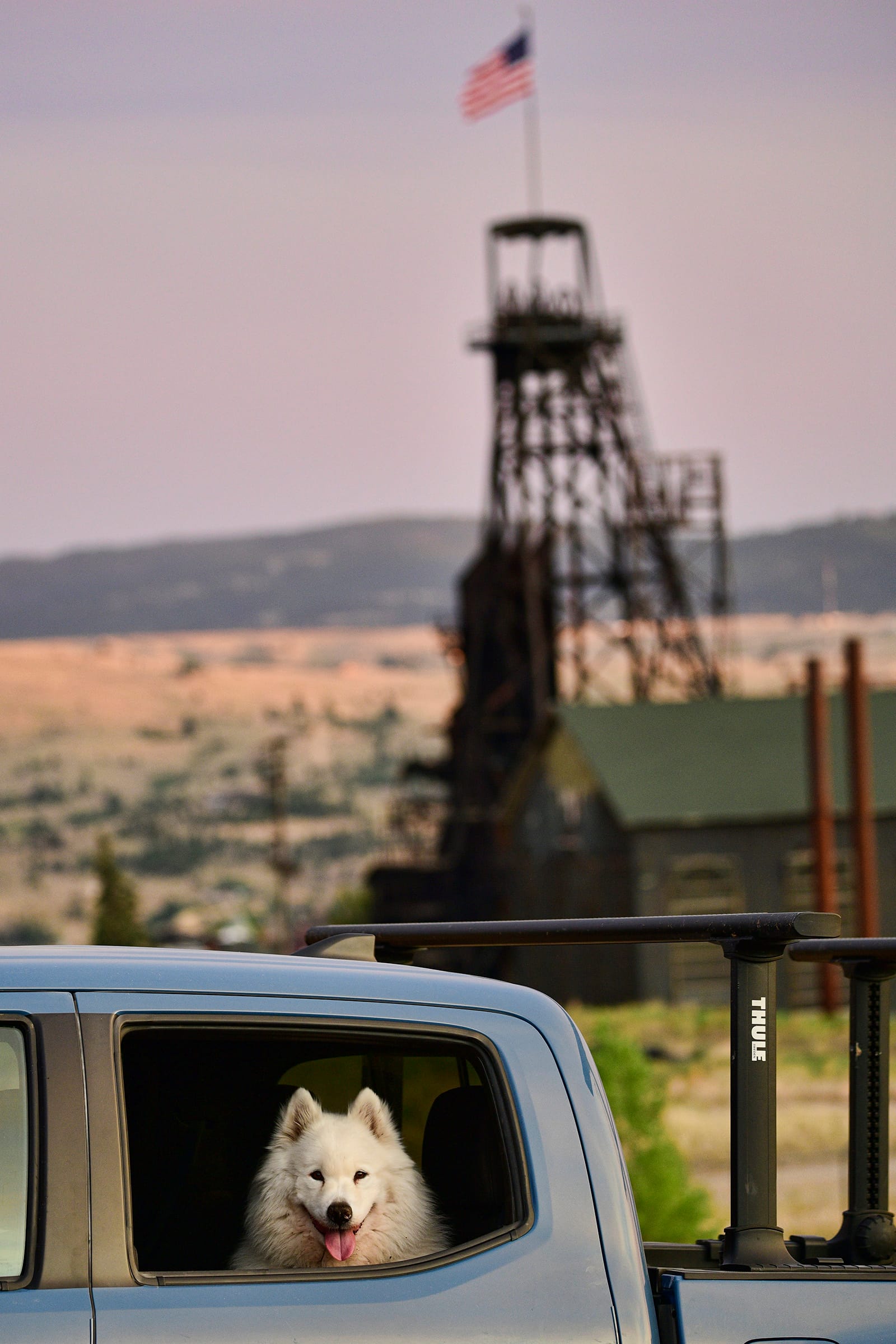
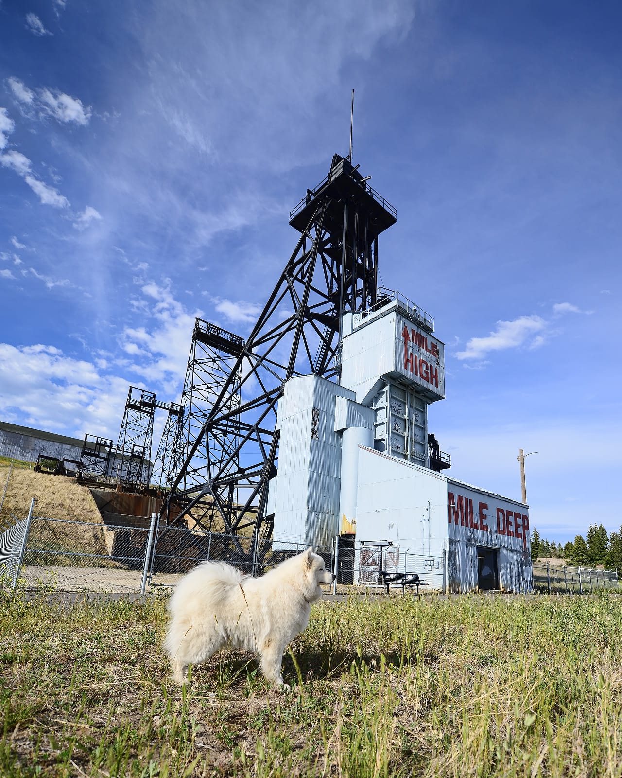
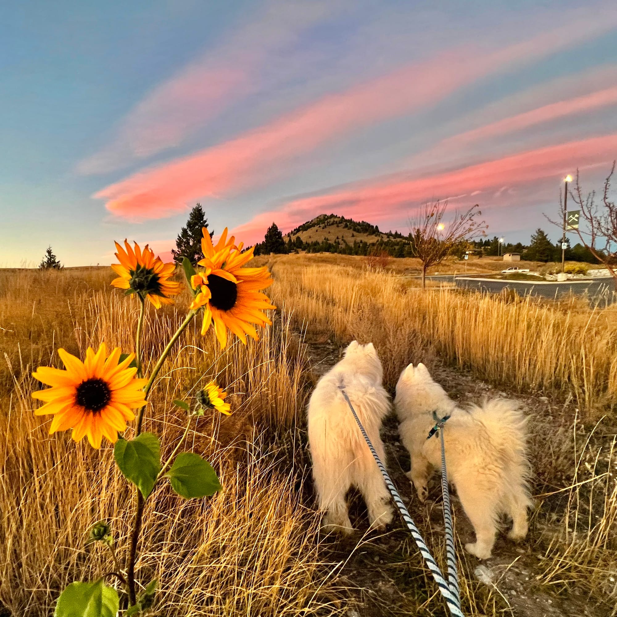
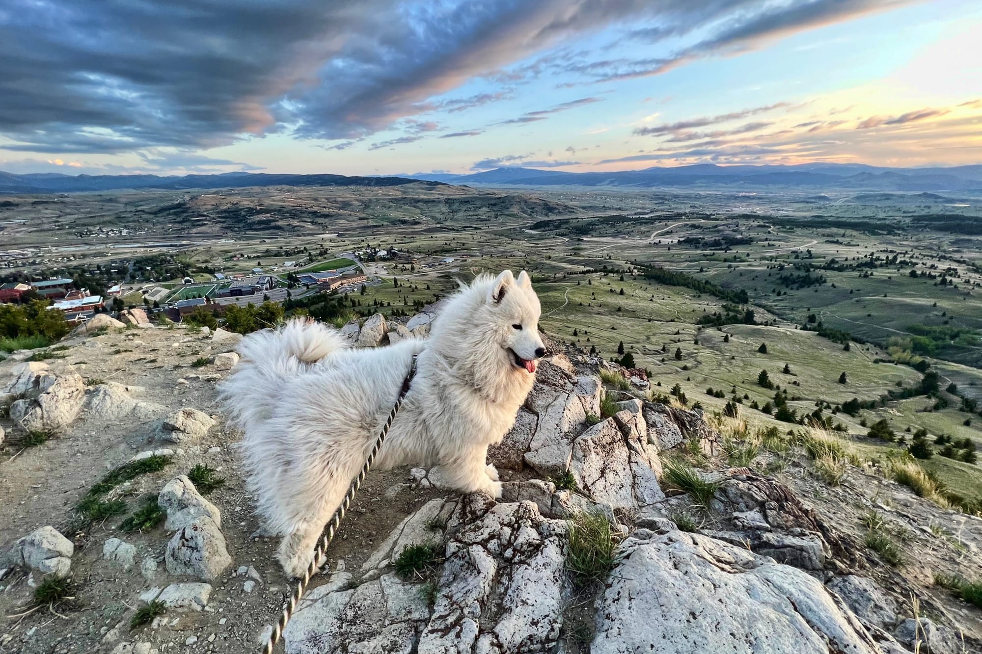
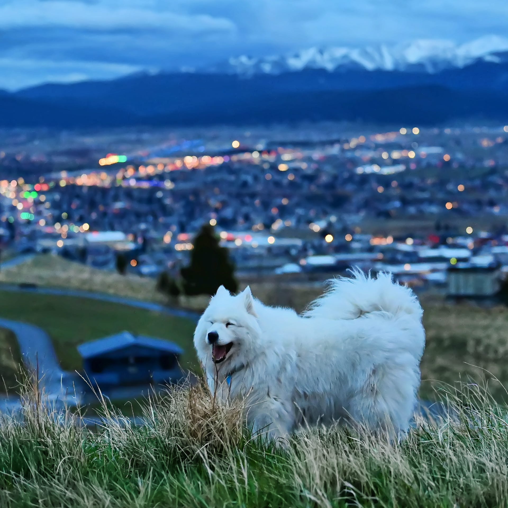
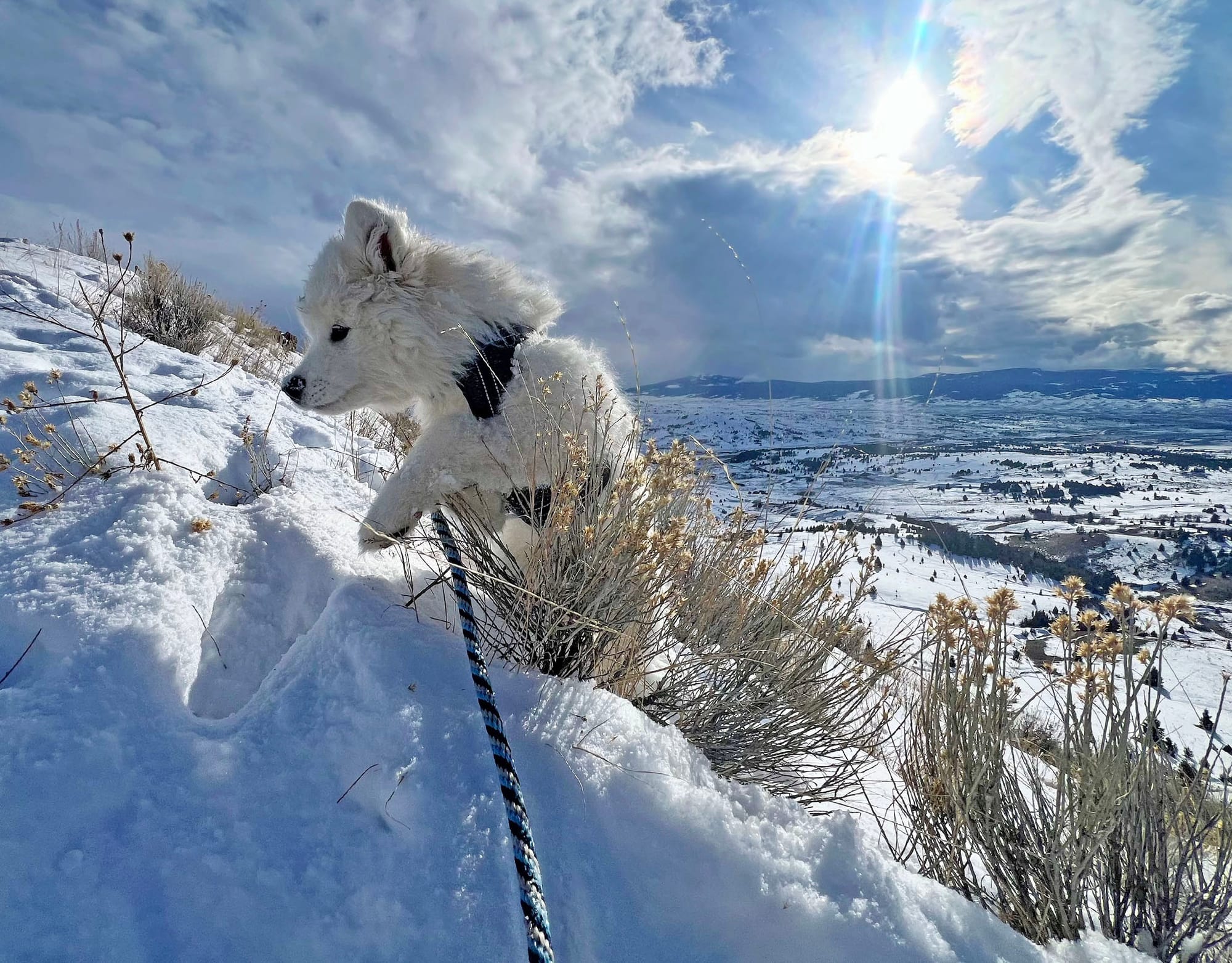
There are great spots for dog walks and drives all around Butte. It's one of the main reasons we live here!
That got long, but it feels like we left a lot out, too. The drive from Seattle to Butte on I-90 goes past hundreds of great spots for dogs, and Jamie opened our eyes to places that Nancy, Isaac, and George are enjoying today whenever we travel back and forth to Seattle. Thanks for coming along on this tour of the Jamie Samoyed Memorial Highway!