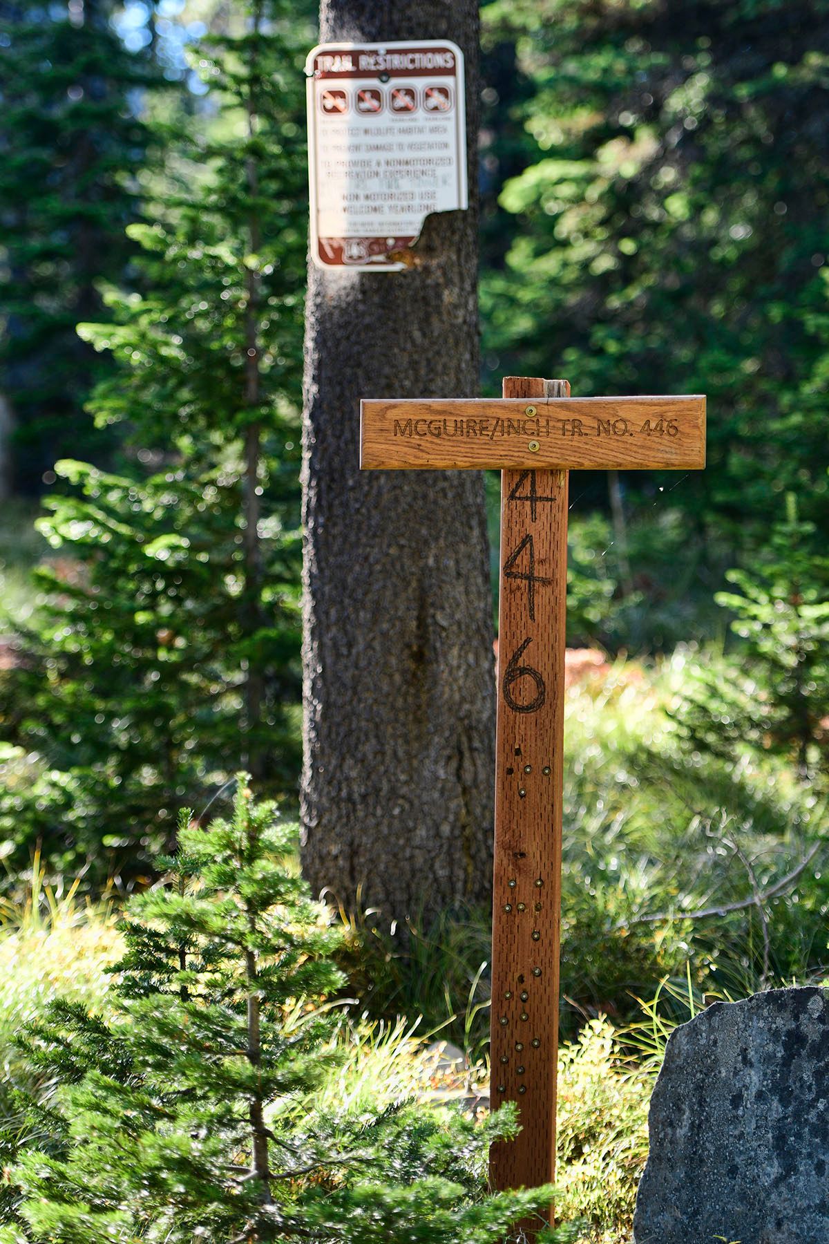
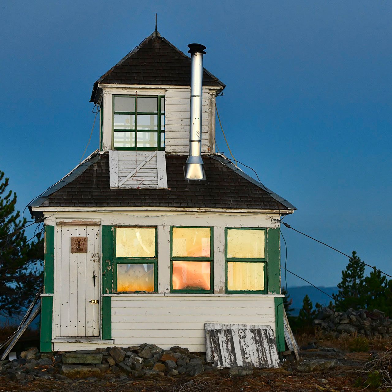
McGuire Lookout

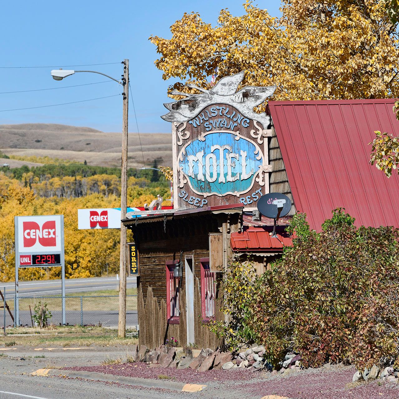
In 1923, a well-windowed wood cabin was erected on top of McGuire Mountain, for the purpose of detecting forest fires in the area around Eureka, Montana. Eureka sits in a valley between mountain ranges just south of the Roosville border crossing between the United States and Canada.
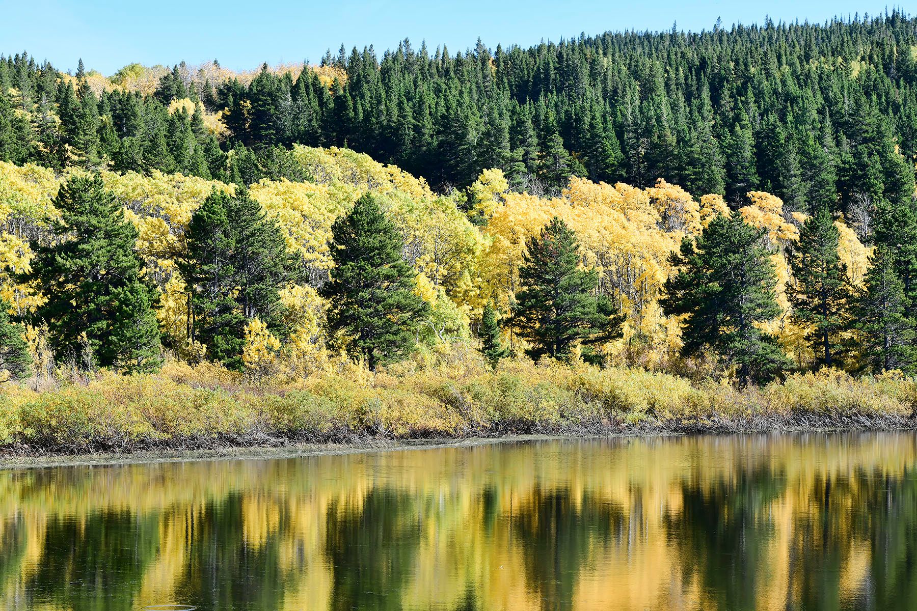
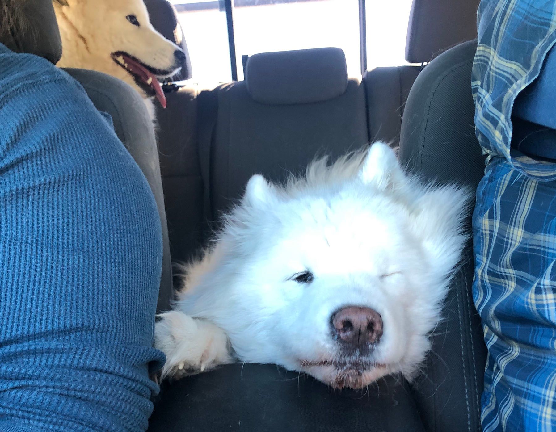
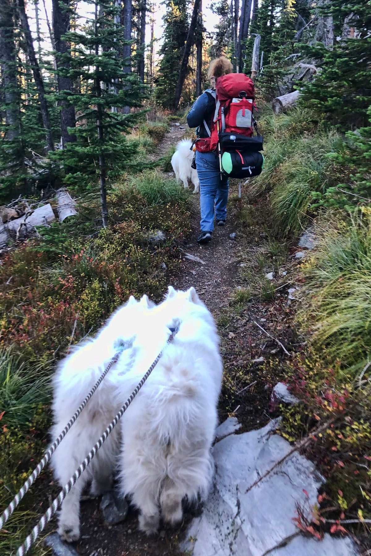
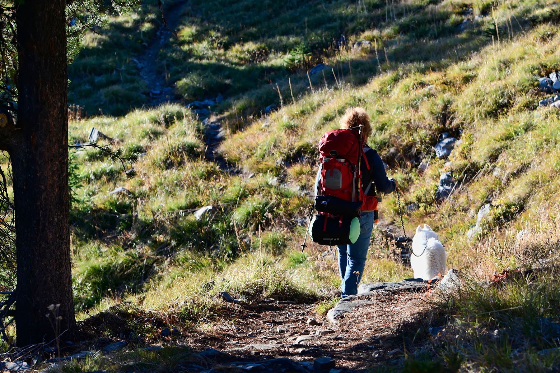
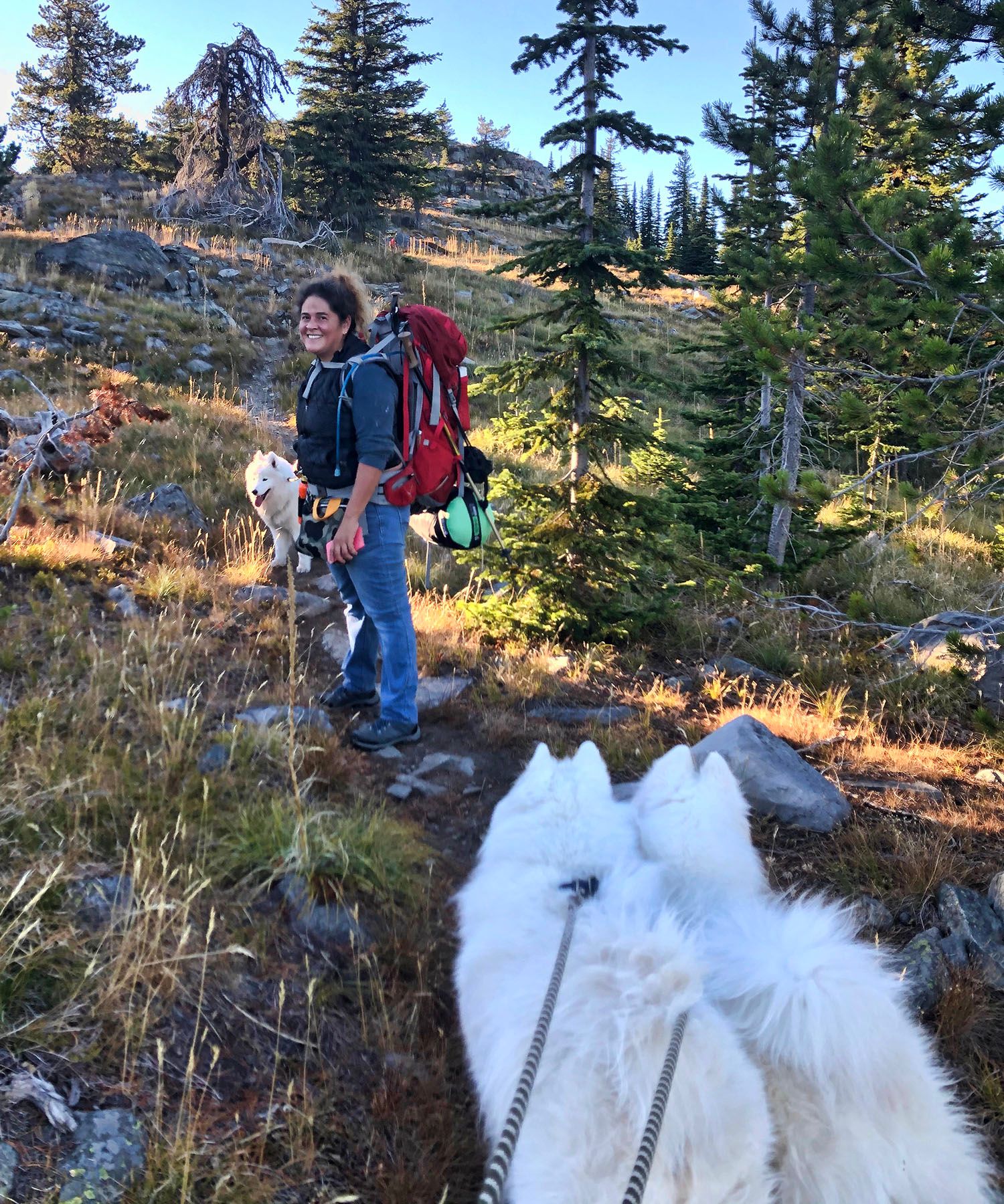
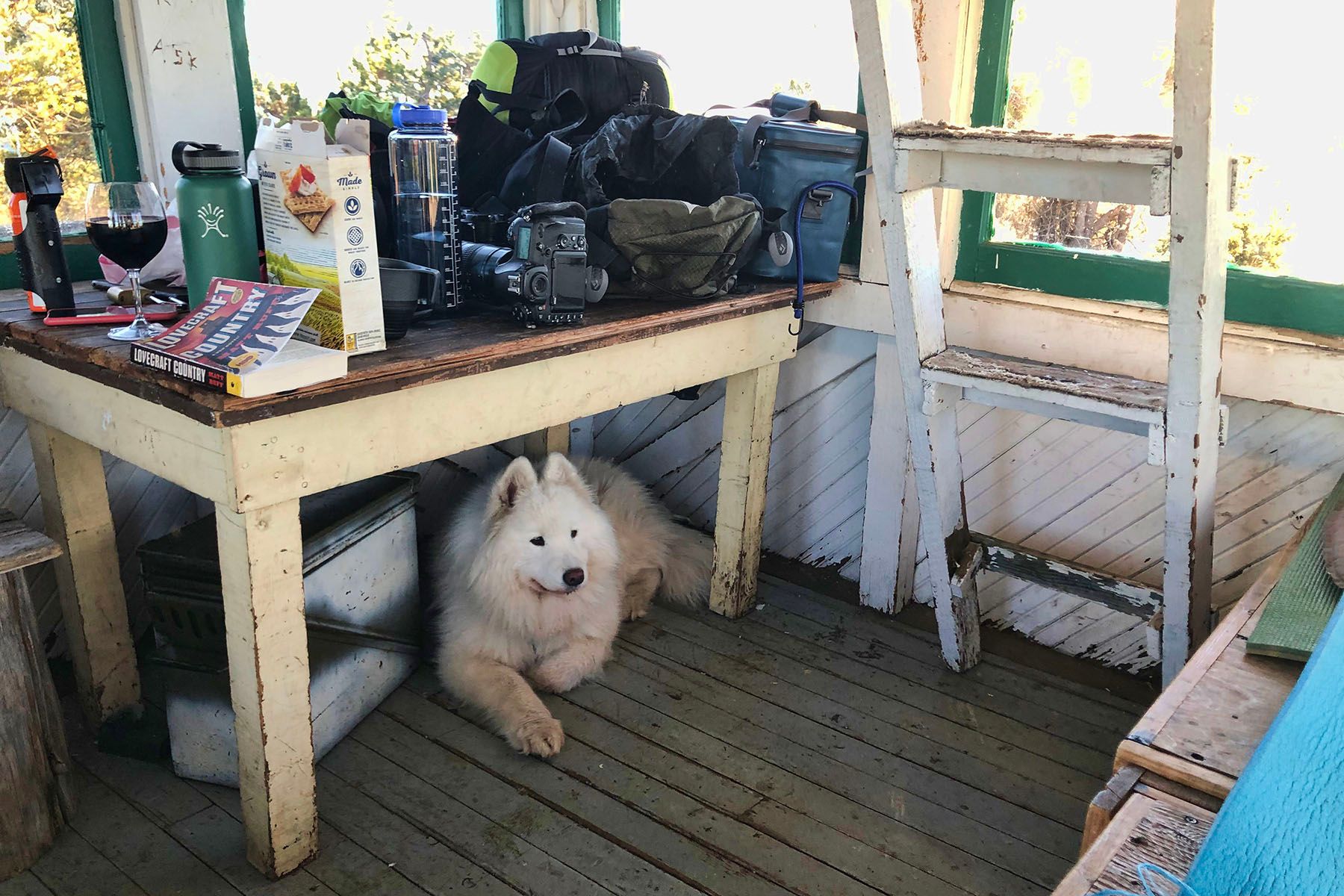
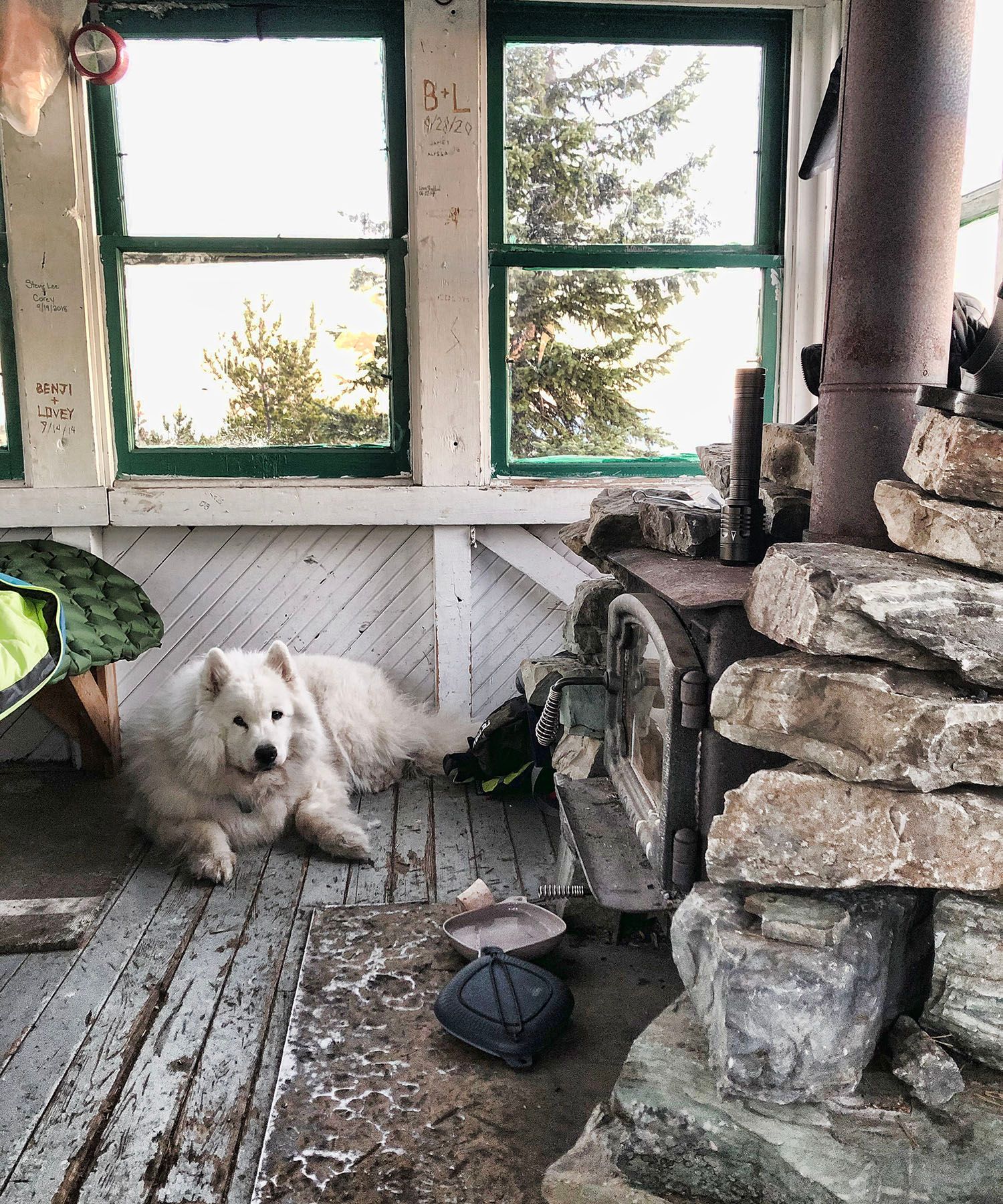
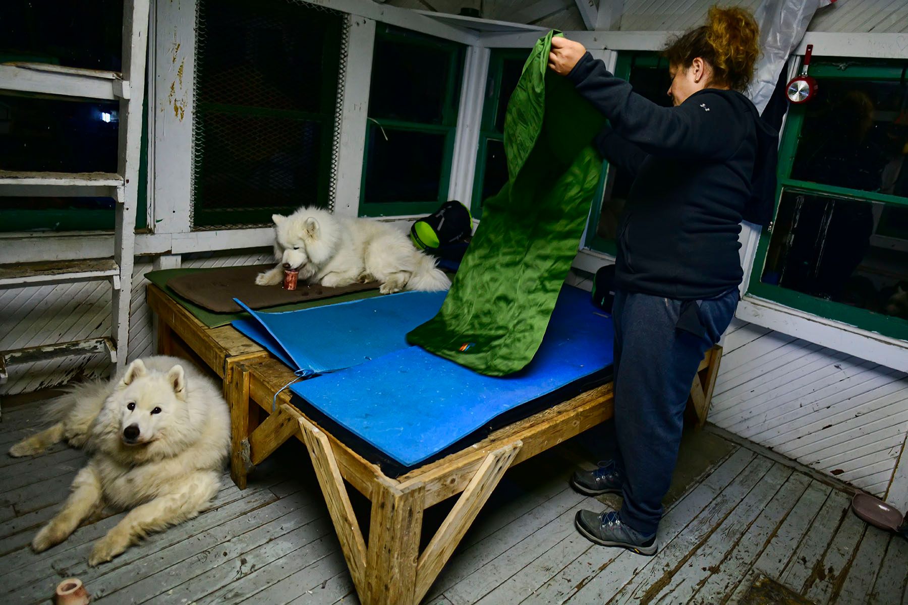
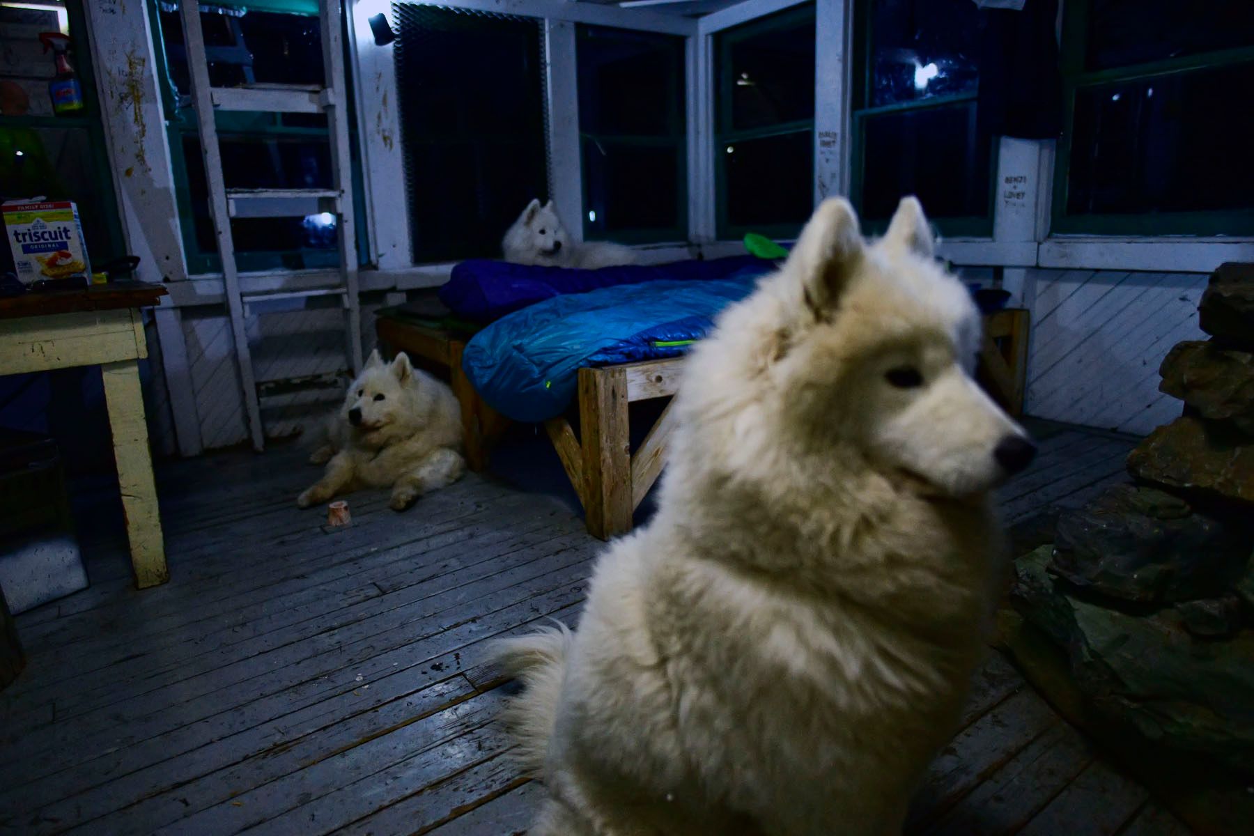
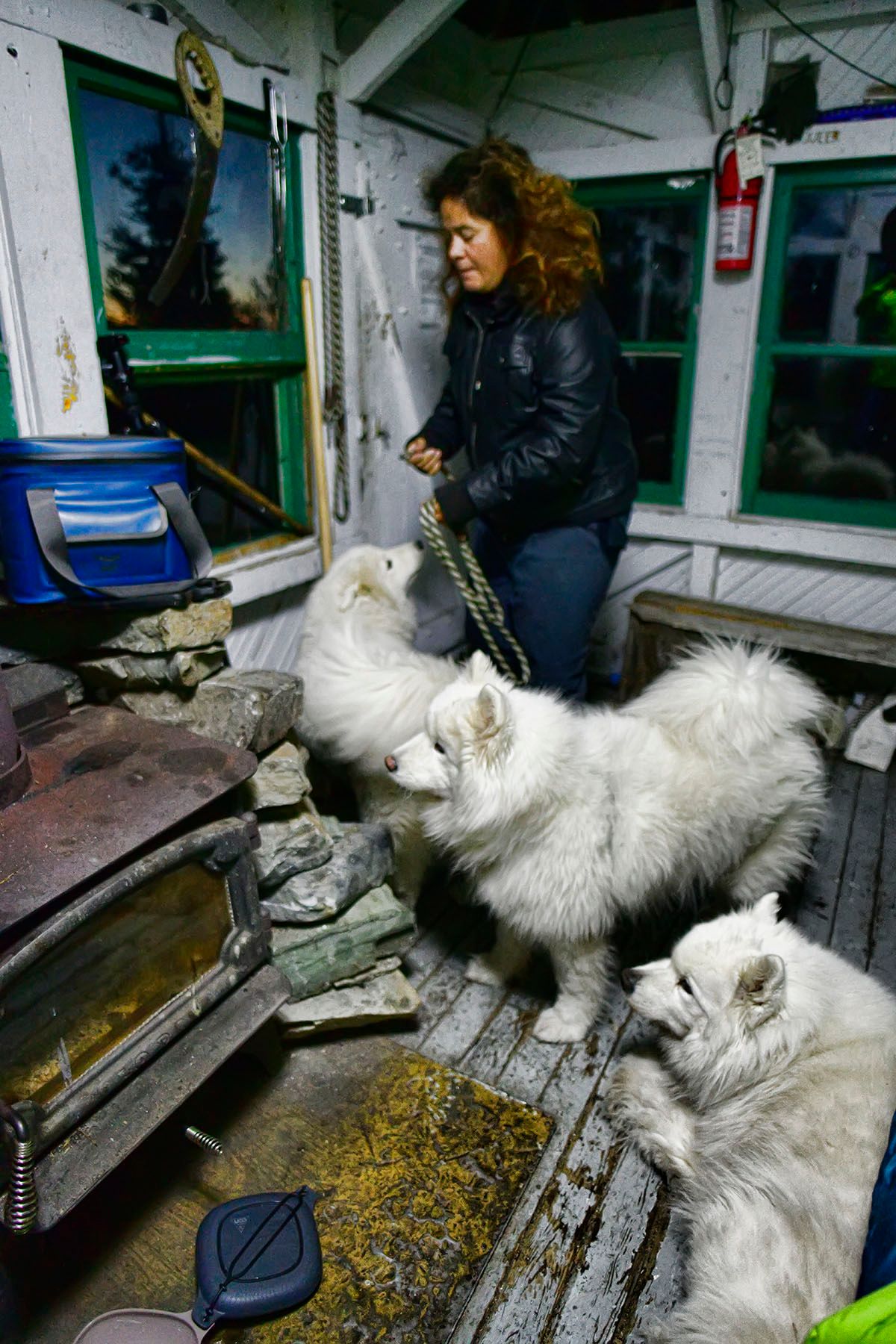
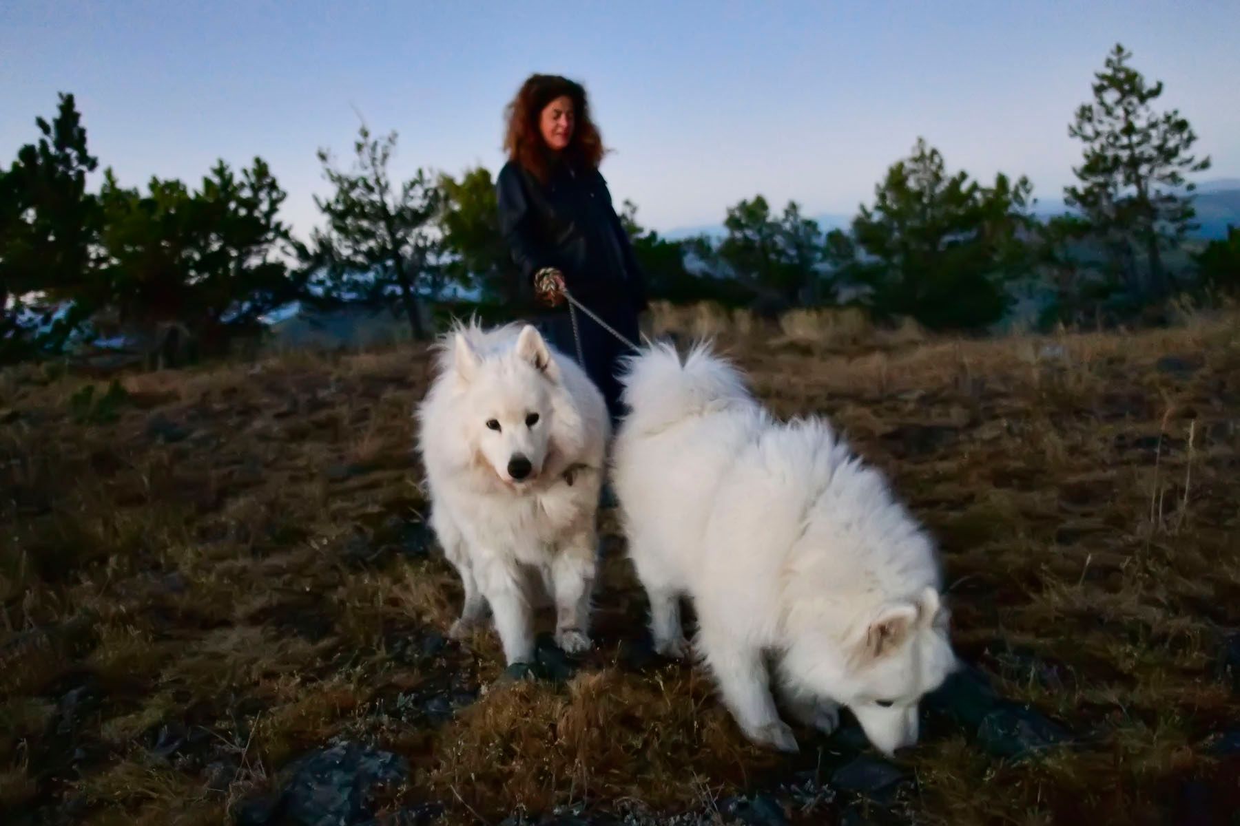
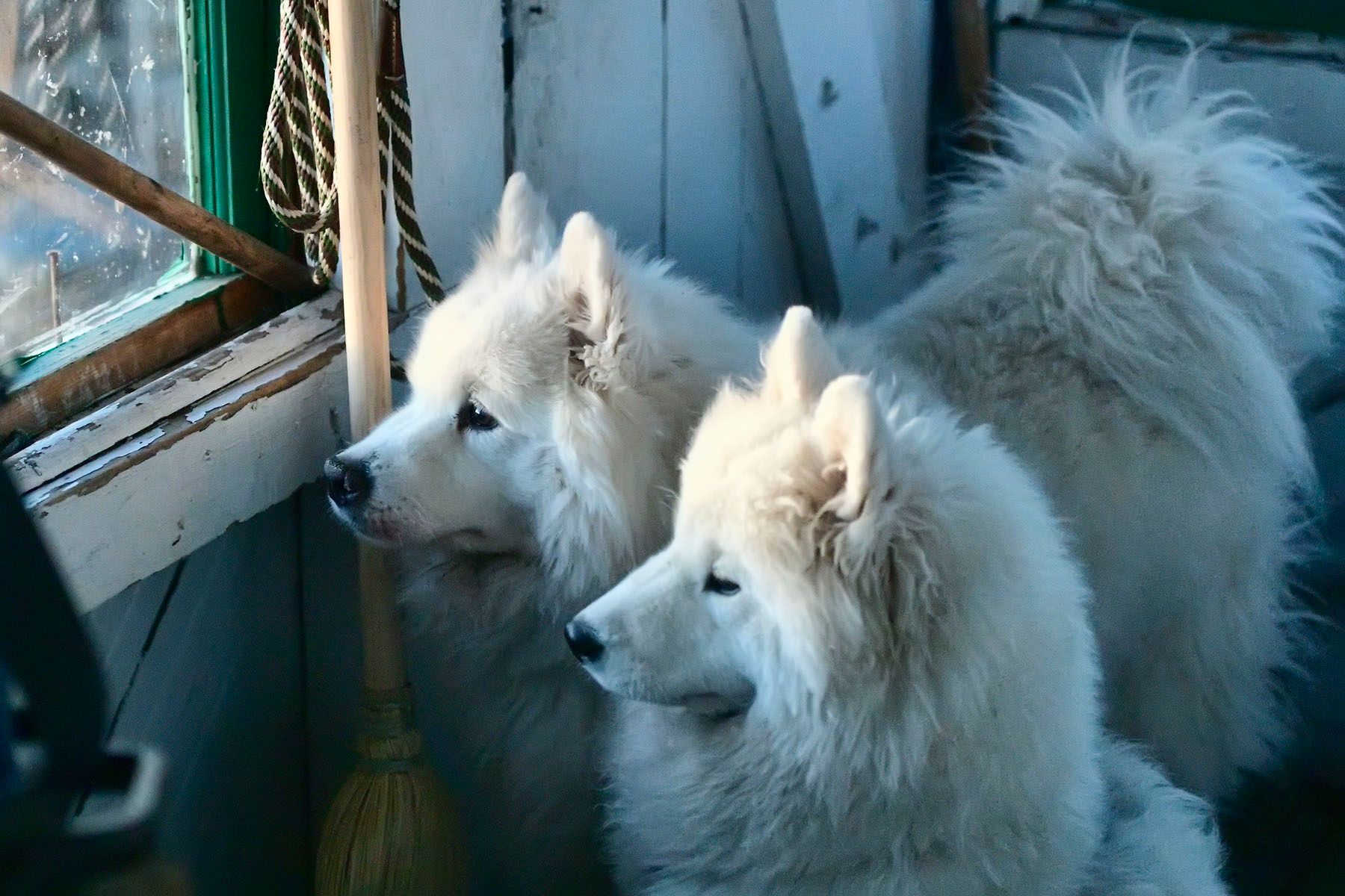
McGuire Mountain Lookout was abandoned in the 1940s, sat idle for many years, and was then renovated and made available to the public for nightly rental starting in 1998. We booked a reservation in the summer of 2020, and on a Tuesday night in late September, we spent the night there with our three dogs.
Getting There
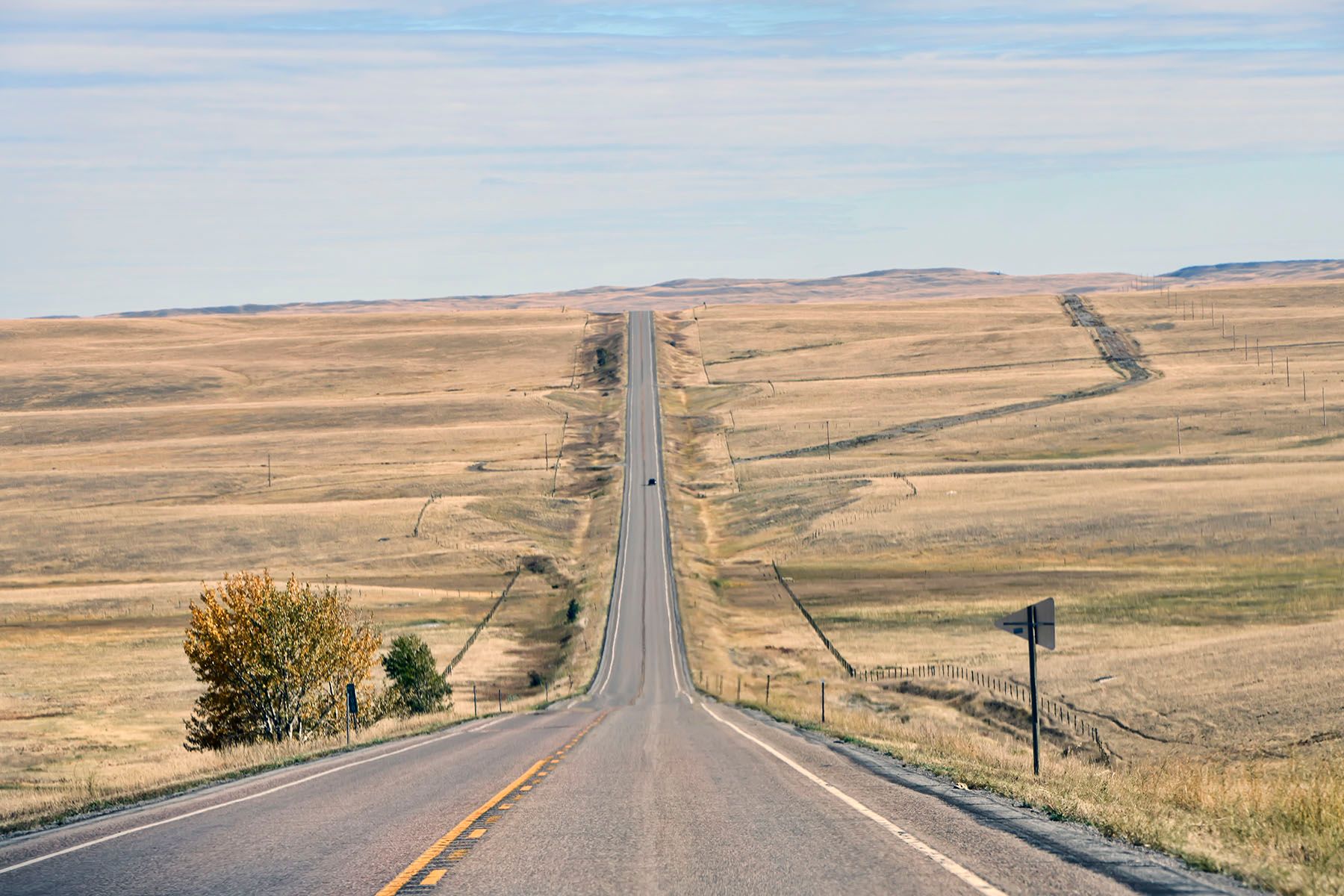
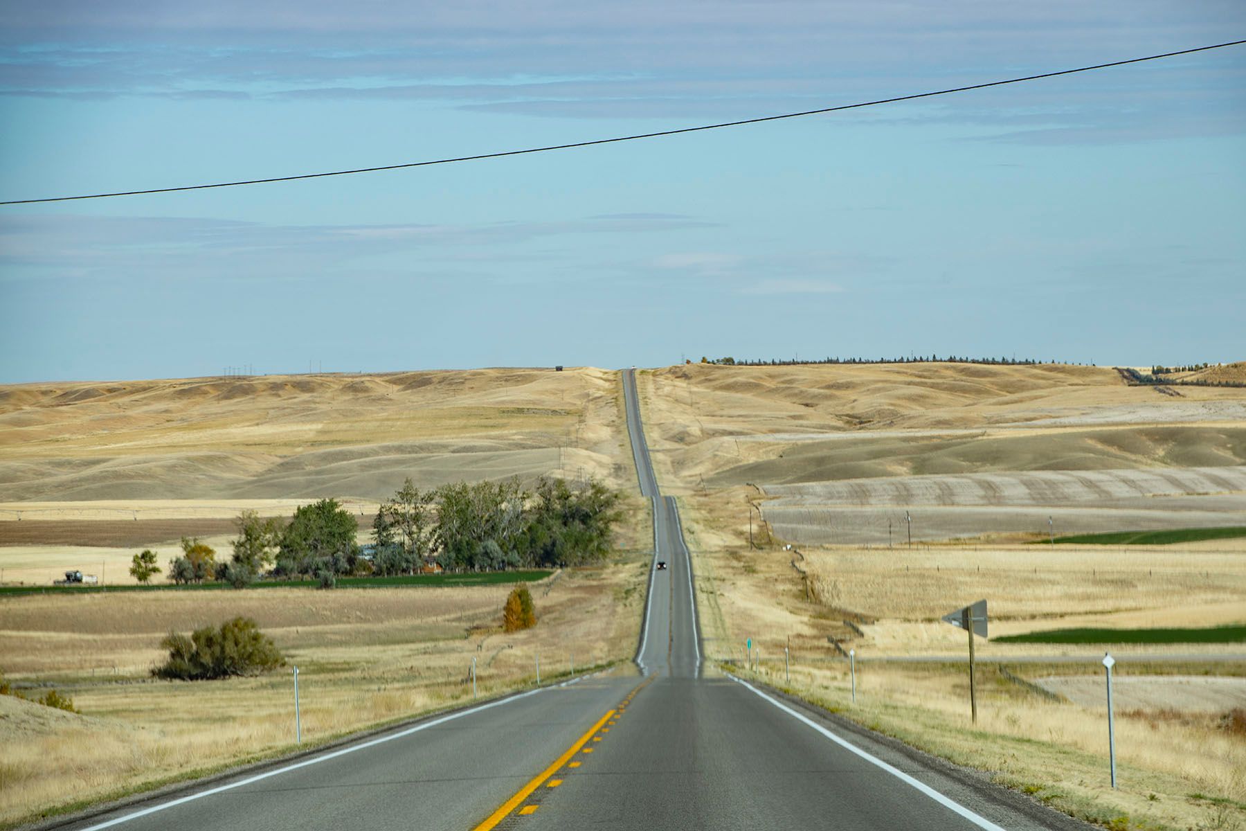
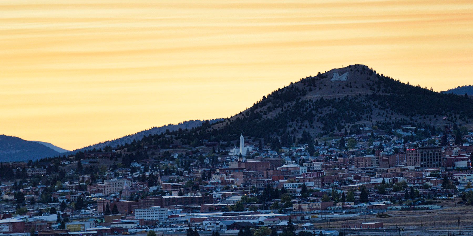
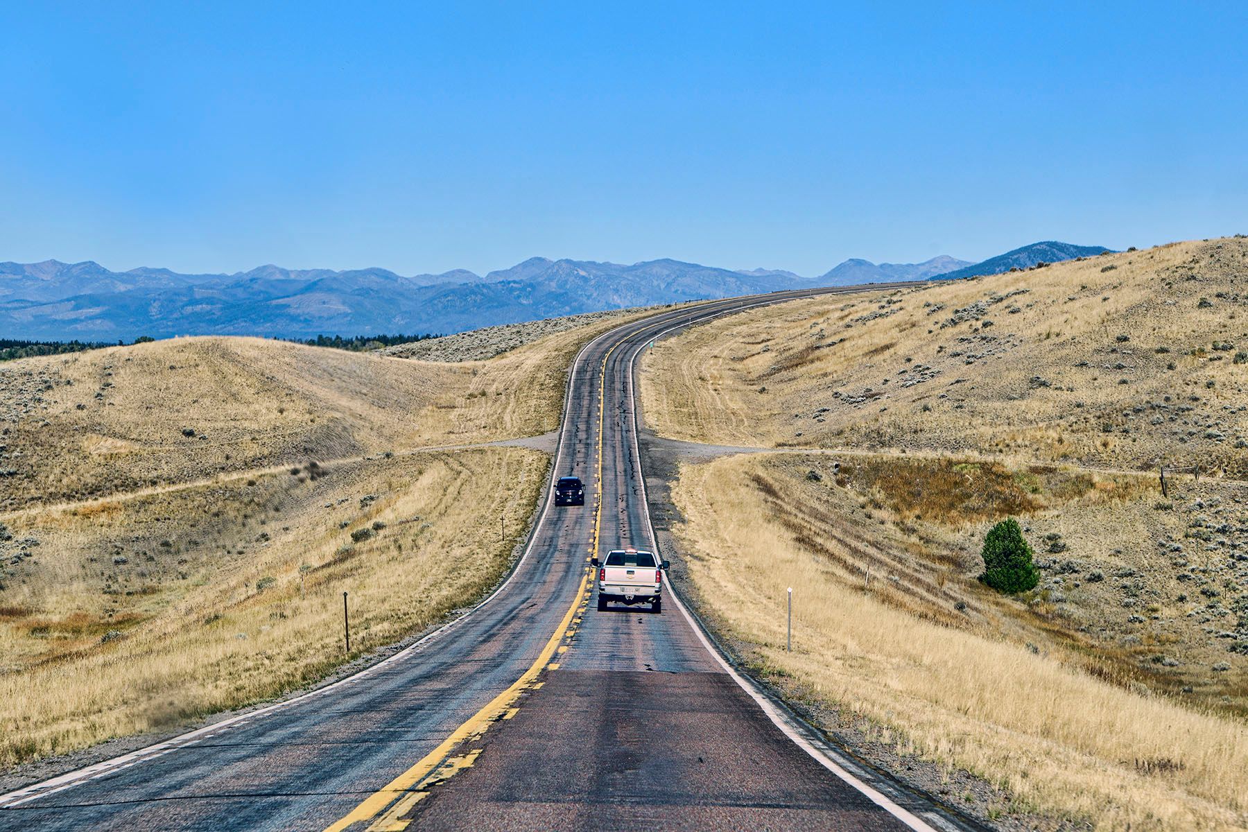
McGuire Mountain is around 300 miles from our home in Butte. The most direct route is I-90 and then US Route 93, with divided highway most of the way there. But I've driven those roads many times, so we decided to explore some new areas instead. We took I-90 about 50 miles west to Garrison, and then took 2-lane roads from there to our destination.
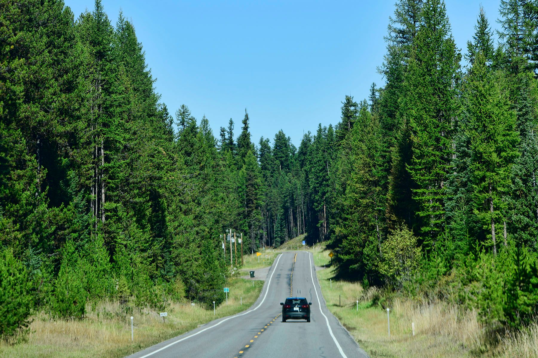

The route from Eureka to the trailhead was unclear from the unusually poor instructions on the official web site, which include references to road numbers that don't actually appear on any signs, and mileages that don't match anything we could figure out.
I won't bother to go through all of the twists and turns, but eventually, in the middle of nowhere on a dirt road, we ran into two grizzled old men with missing teeth who were sweet and helpful. Even though they'd never heard of McGuire Lookout, they offered a few hints that led us to a spot along Road 494 where we could see our destination!
A couple miles farther up the road, we found the trailhead and headed up the mountain. We were quite happy to be on the trail before darkness, because we had started to think that wasn't going to happen.
UPDATED July 2021: after returning to the trailhead and exploring the area more, we've found the simplest route is to drive up from the west side – down by Lake Koocanusa. The route from Eureka or Trego on the east side is complicated and messy, but it's pretty straightforward from the other side, and it's also a prettier and more interesting drive. Here are the instructions:
- Take Highway 93 north through Eureka, then turn left (west) on Highway 37.
- Stay on 37 past Rexford and the big Lake Koocanusa Bridge, and 12.8 miles beyond Rexford take a left on Sutton Creek Road #619.
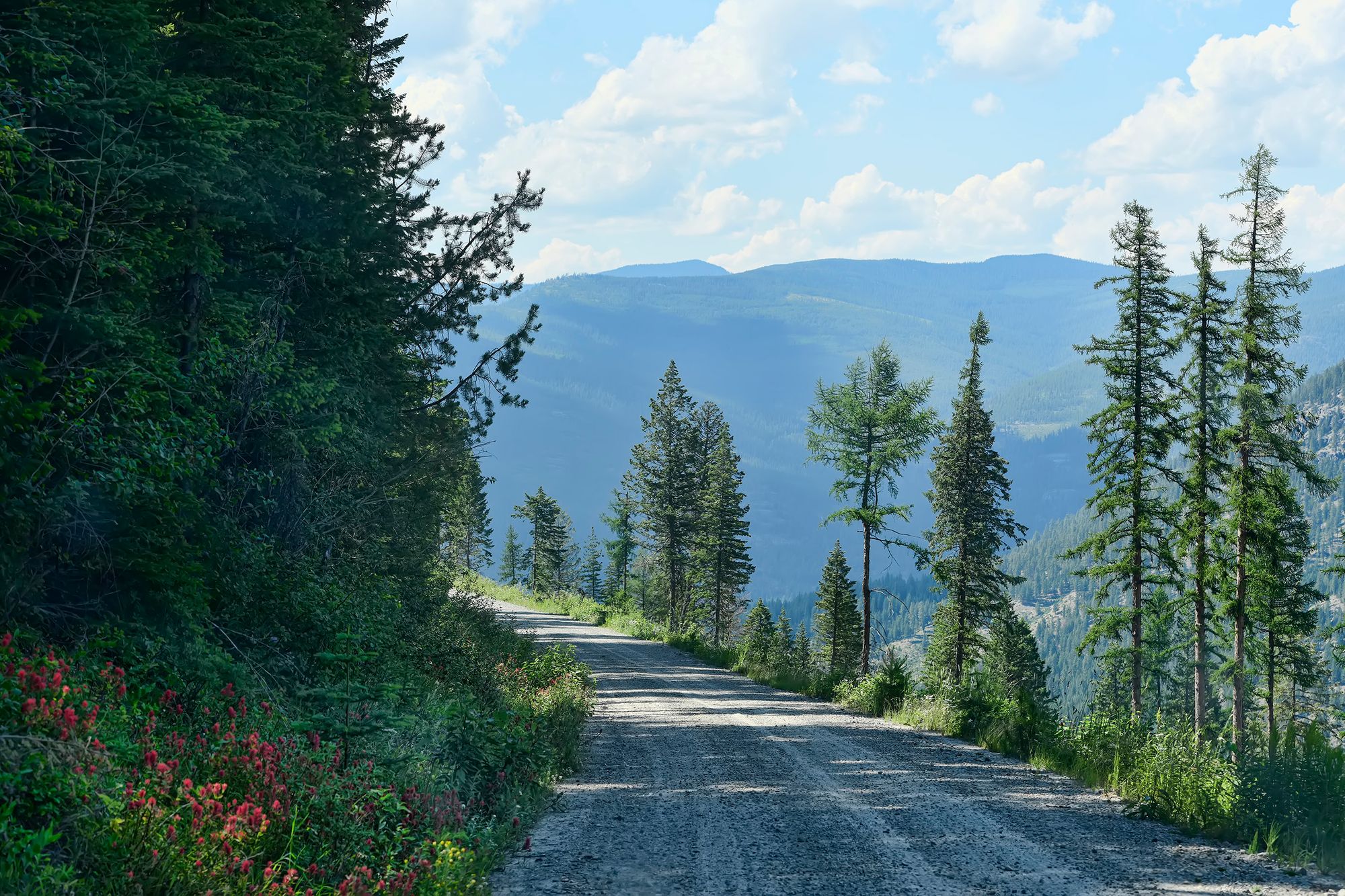
- Go 2 miles up Sutton Creek Road, then turn right on FR 7993 and follow it 16 miles until it ends at FR 494.
- The trailhead is 1.1 miles left on FR 494.
The Hike
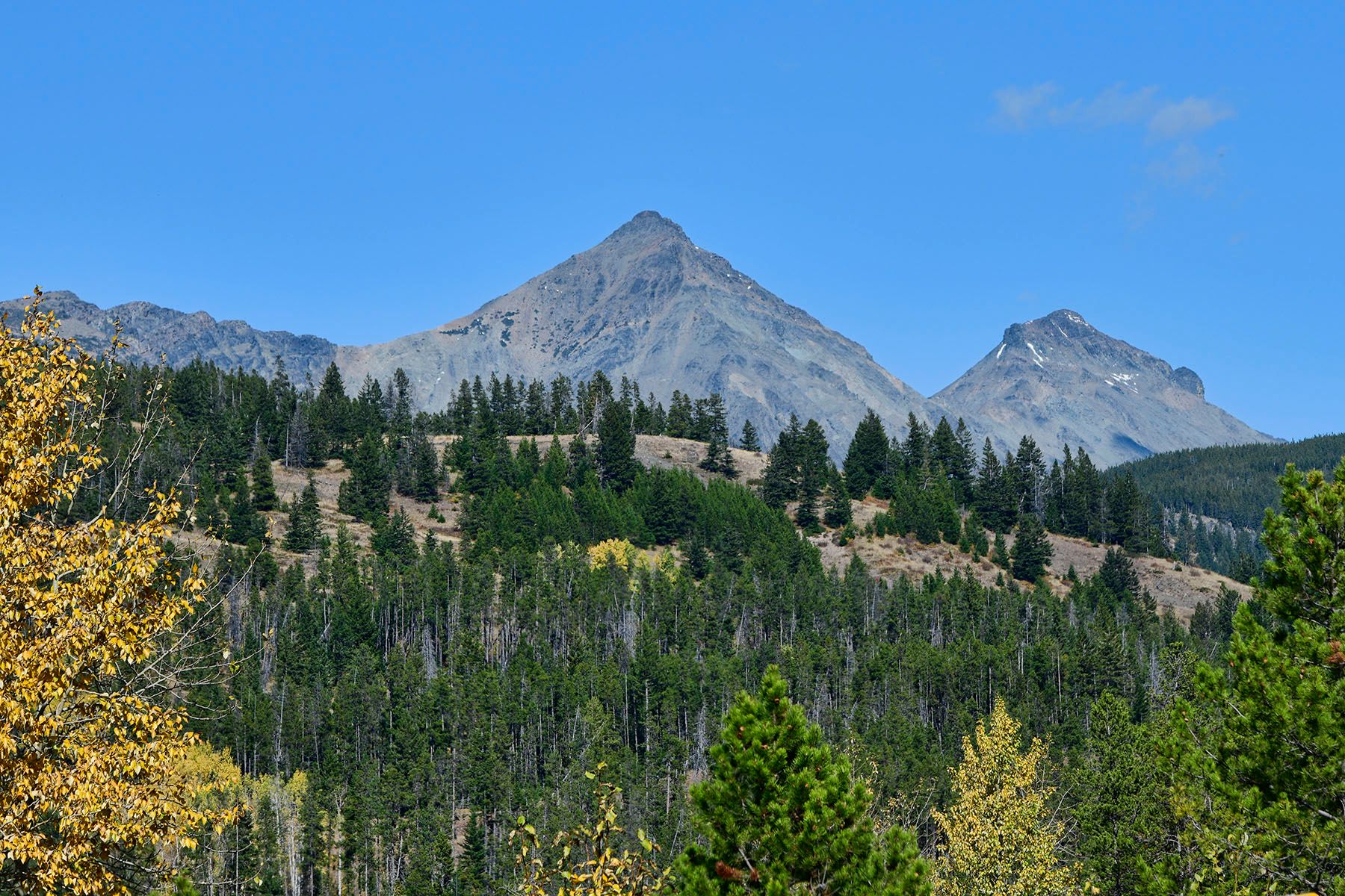
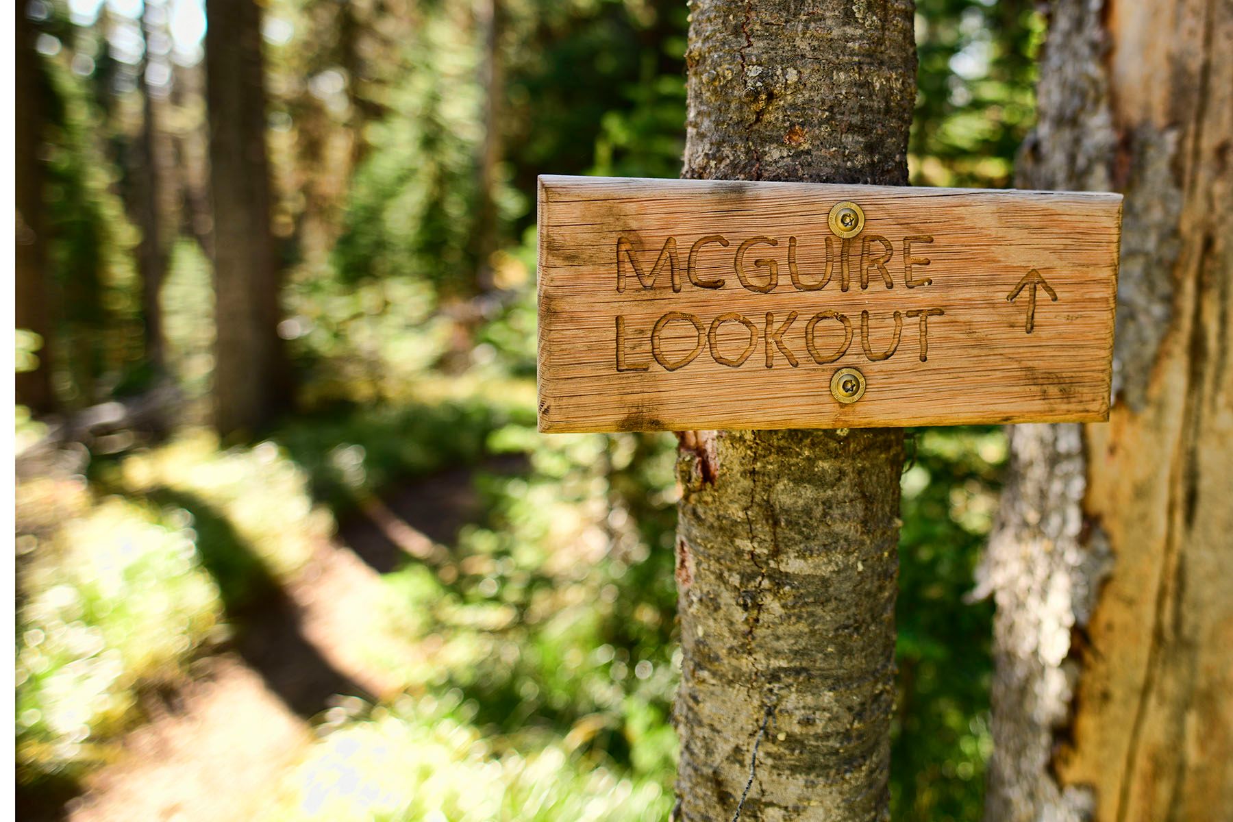
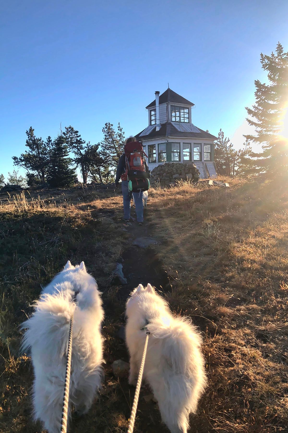
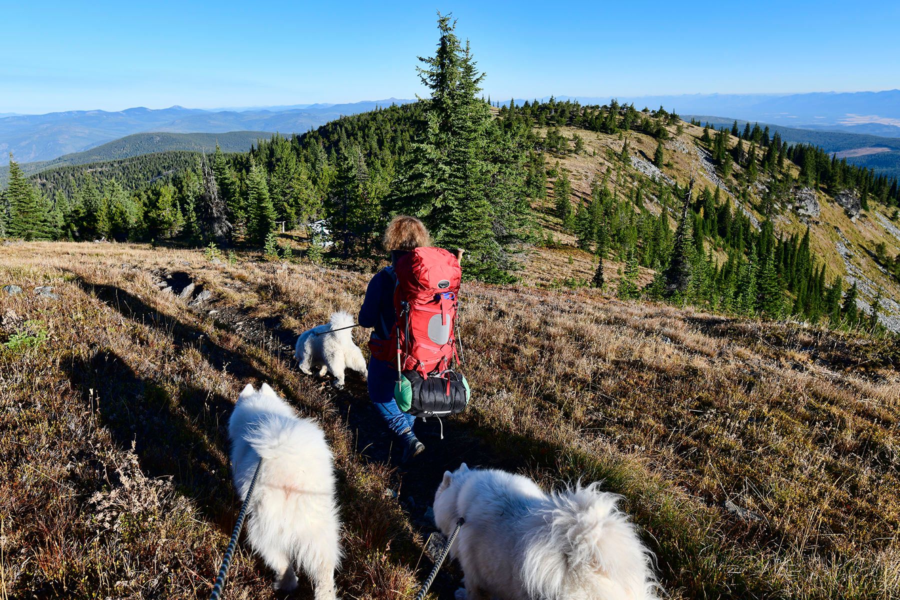
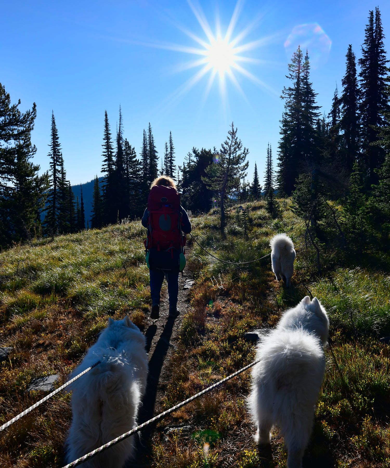
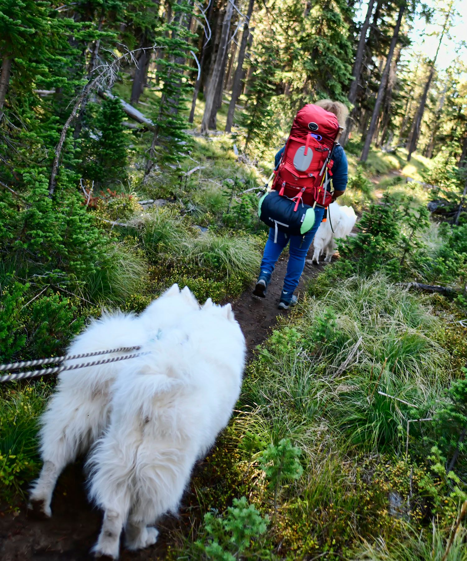
Once you find the trailhead (the sign isn't visible until you get slightly past it), the route to the top is a pretty straightforward 2.5 mile hike. There's only one decision point, a fork near the beginning of the trail where a sign points left for McGuire Lookout. After that it's a straight shot all the way up.
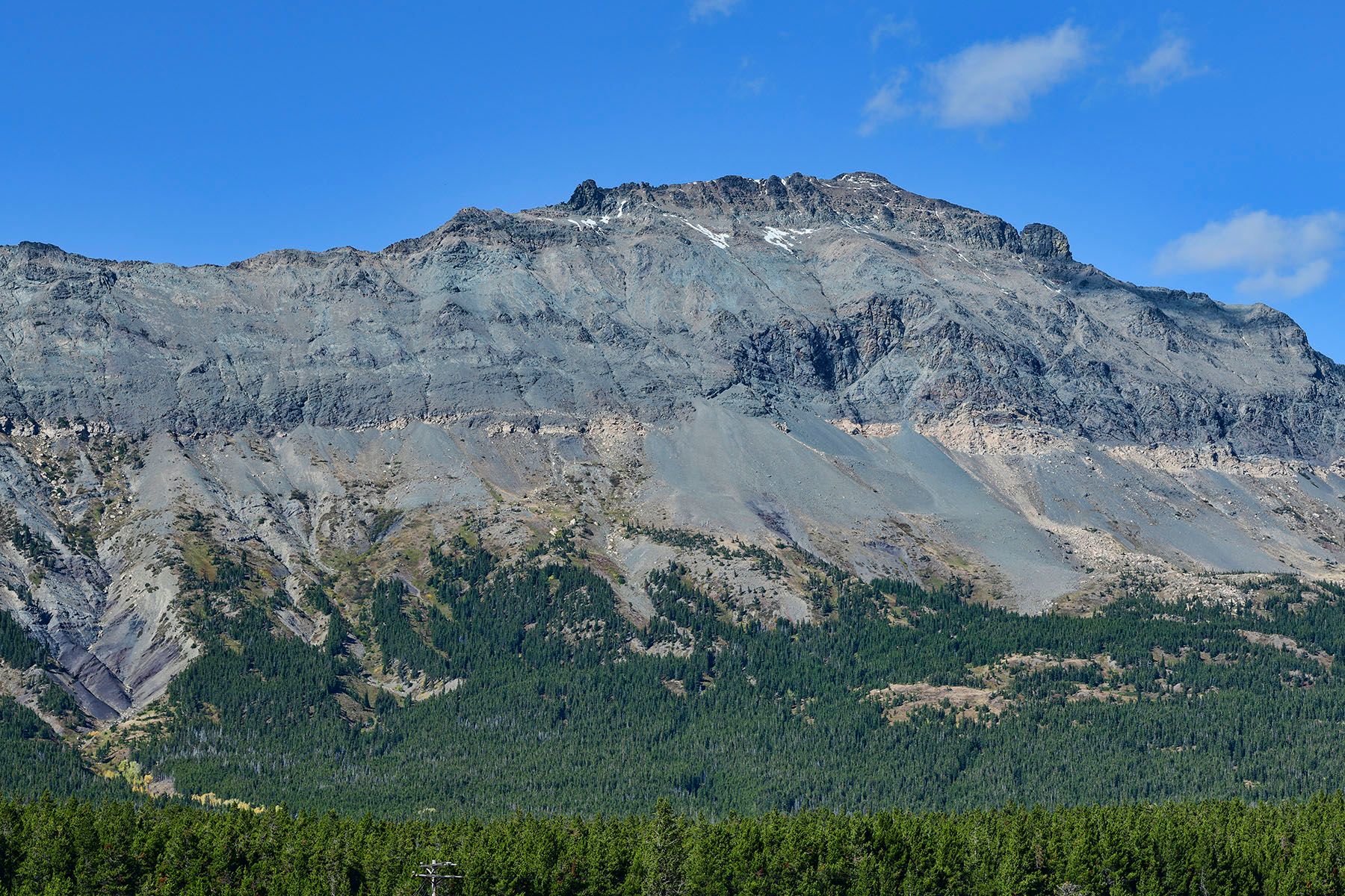
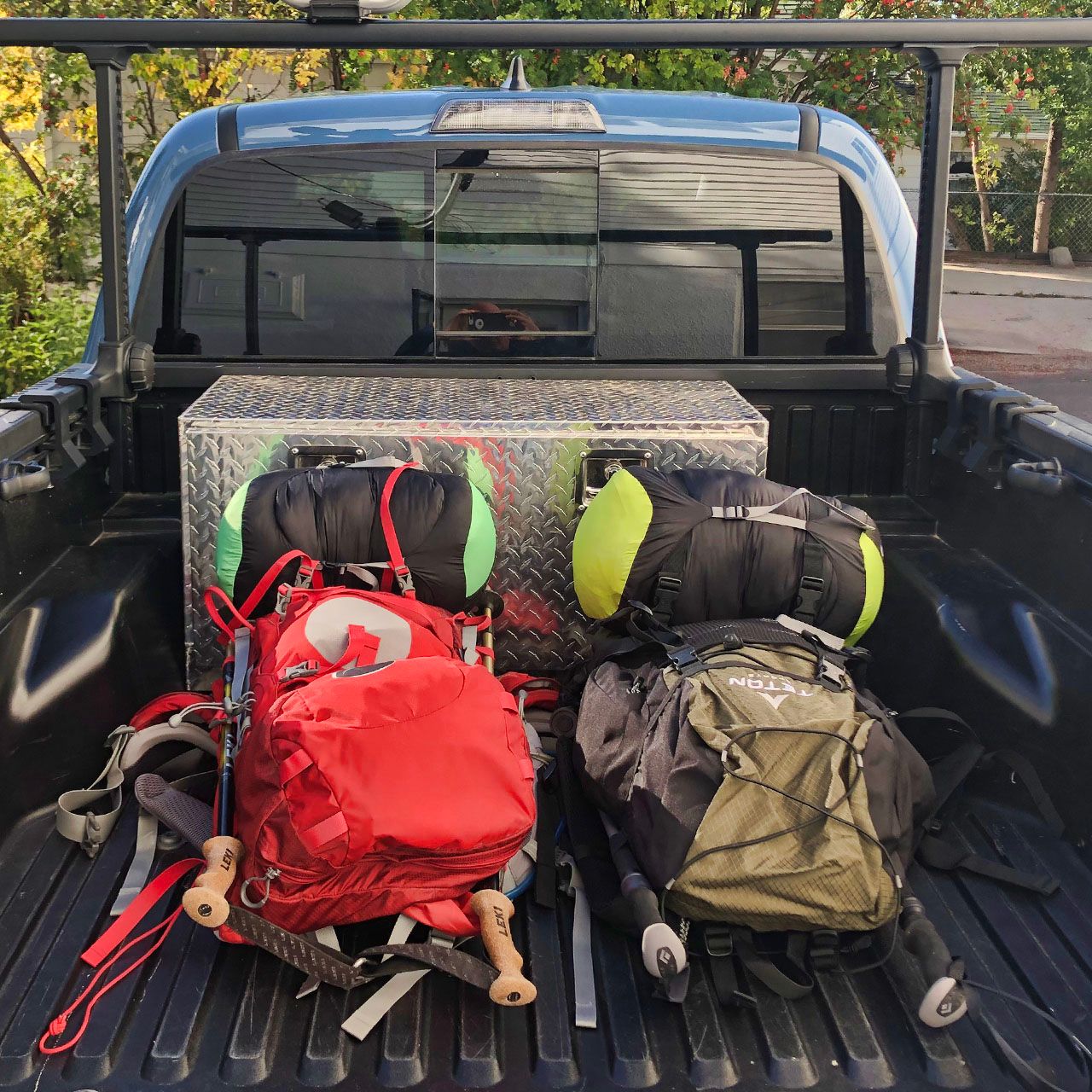
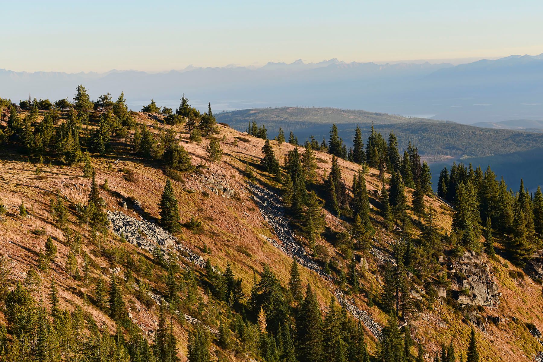
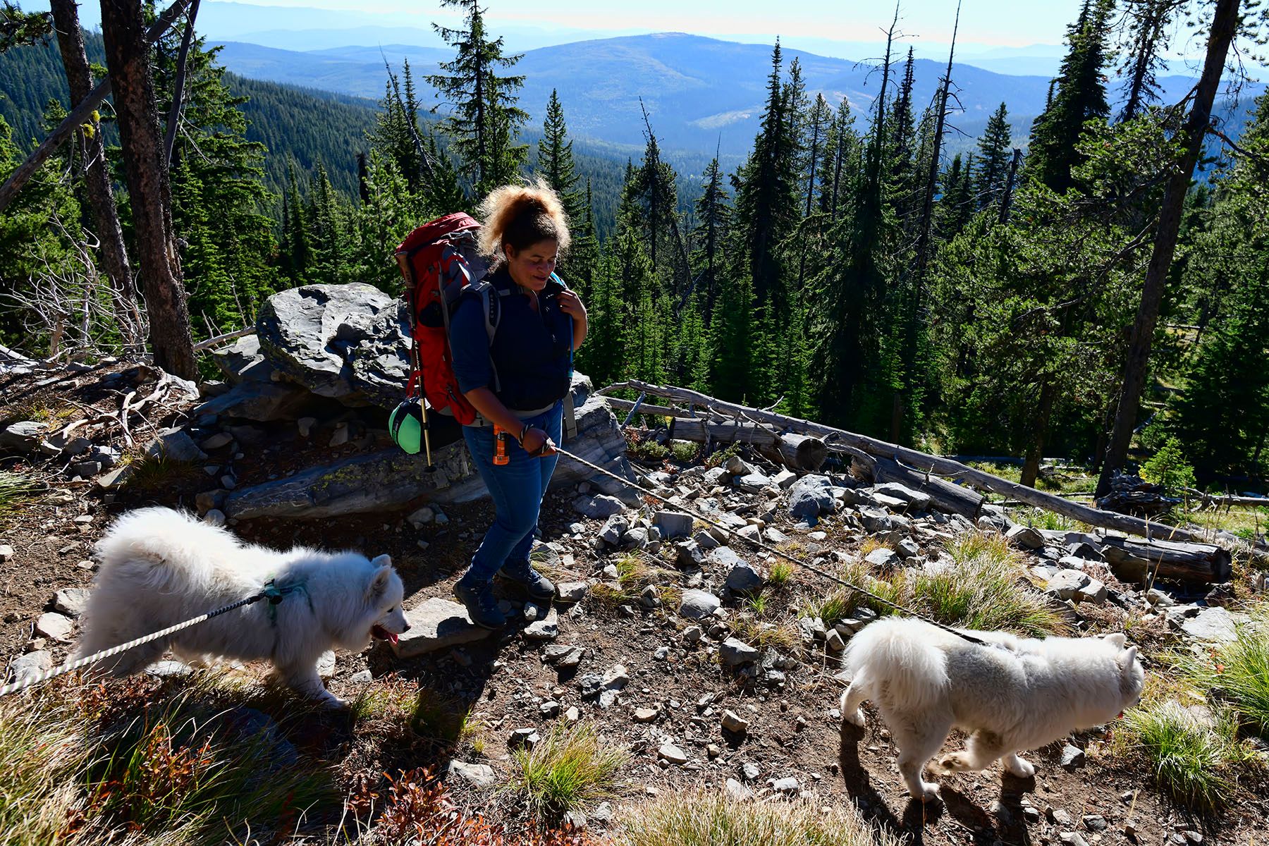
The trail winds around the left side of Little Sutton Mountain, going up a couple hundred feet and then dropping down into the saddle ridge between Sutton and McGuire mountains before the final push to the top of McGuire. We were carrying more weight than we usually do (mostly because of staying overnight in a spot with no water sources nearby), but it wasn't bad.
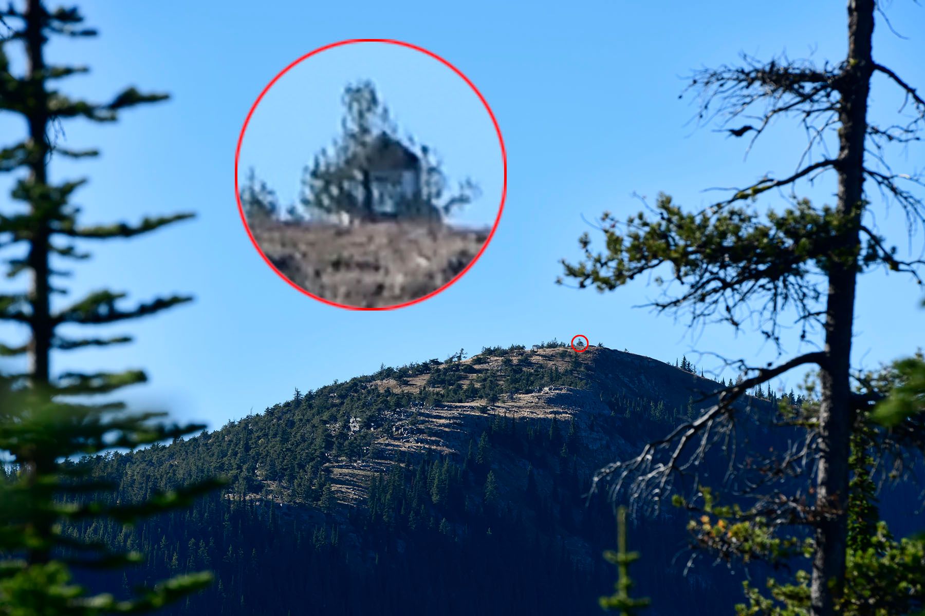
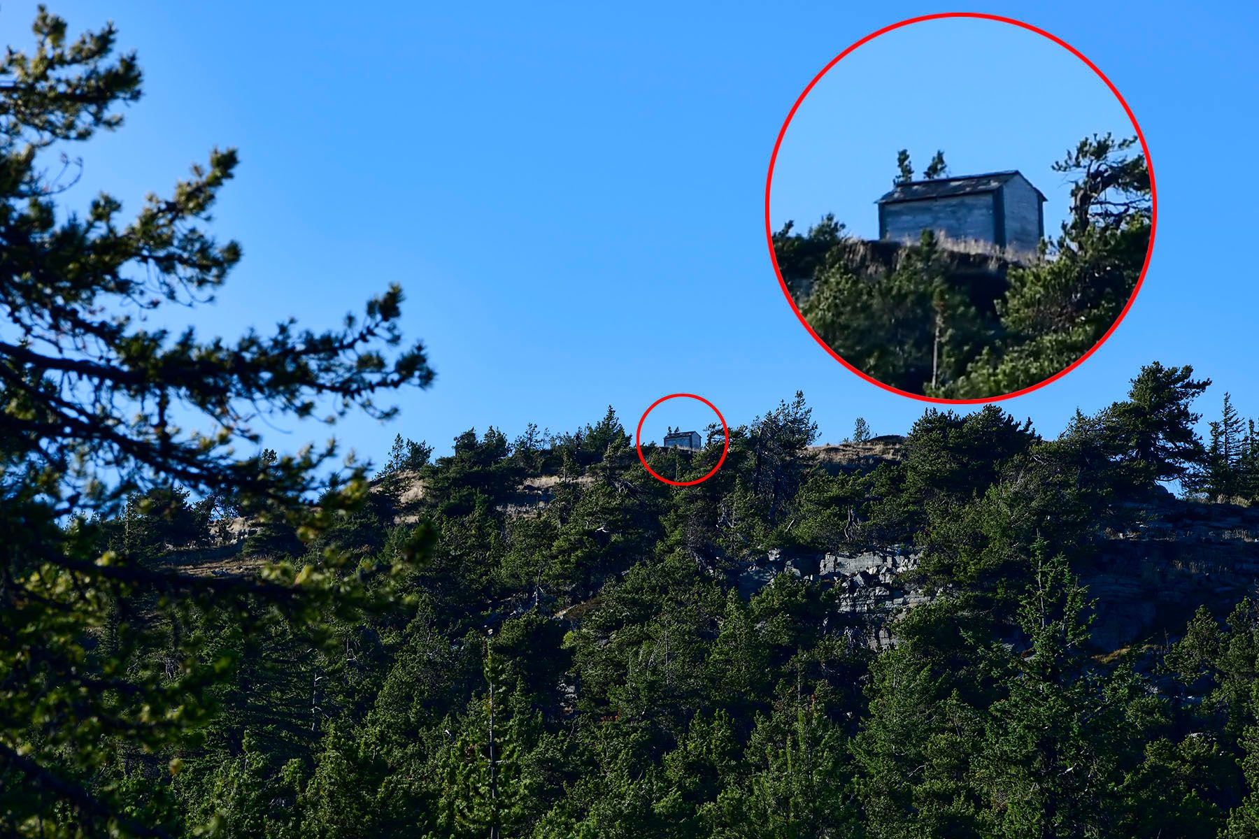
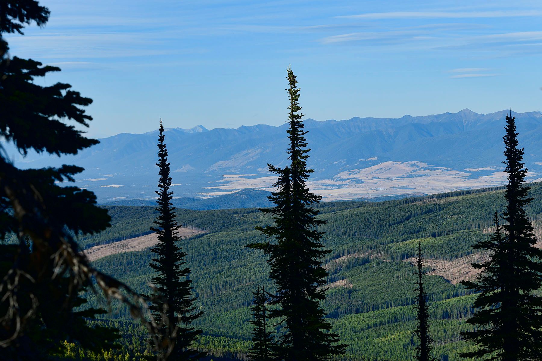
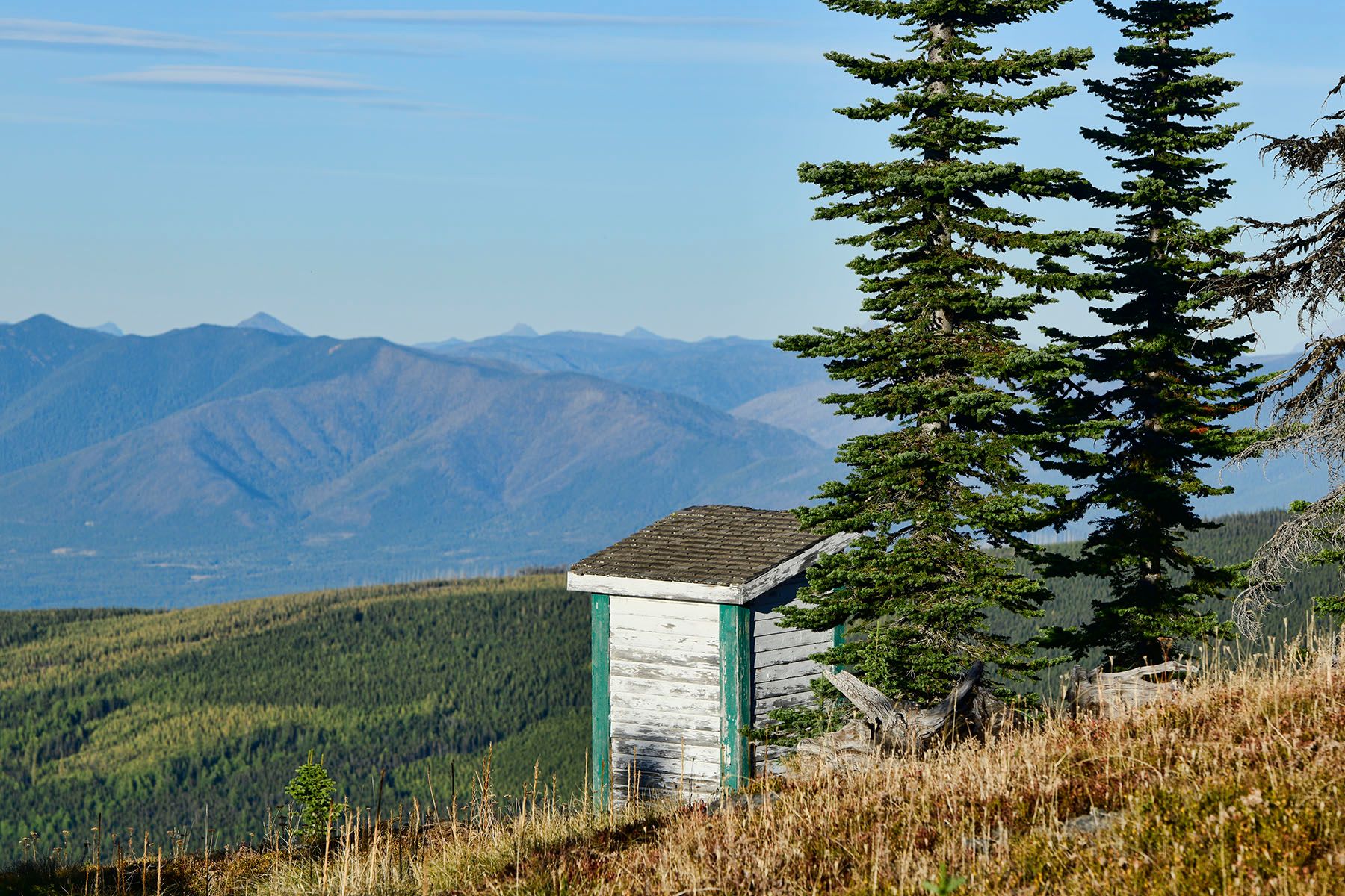
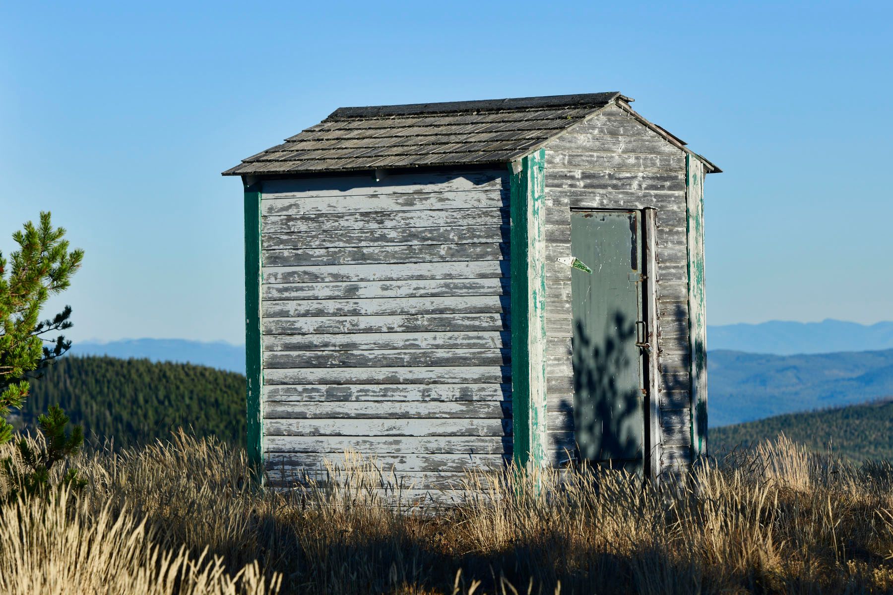
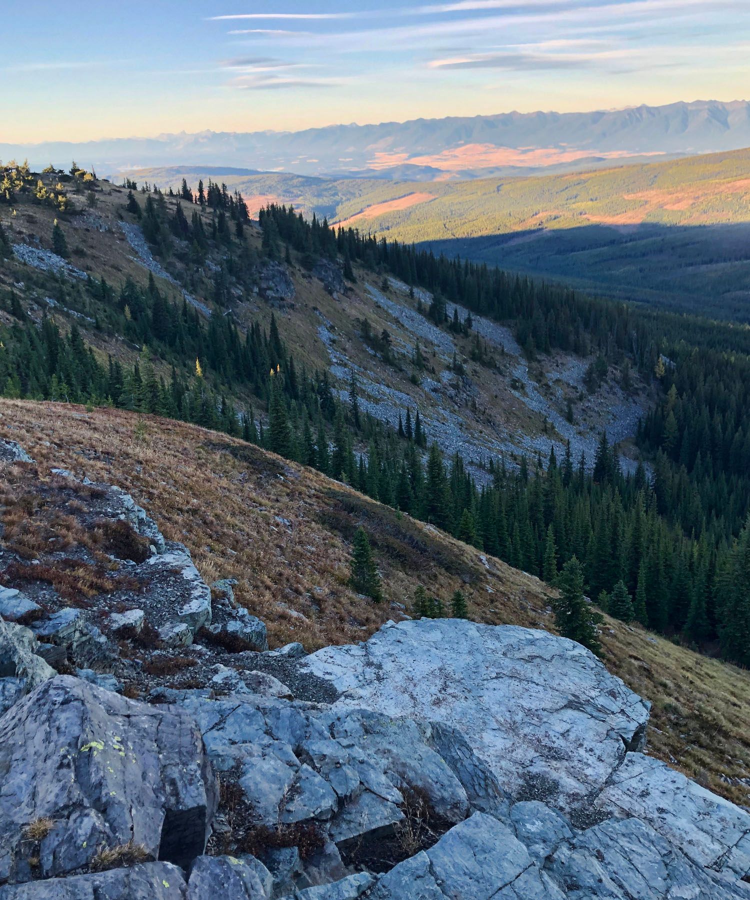
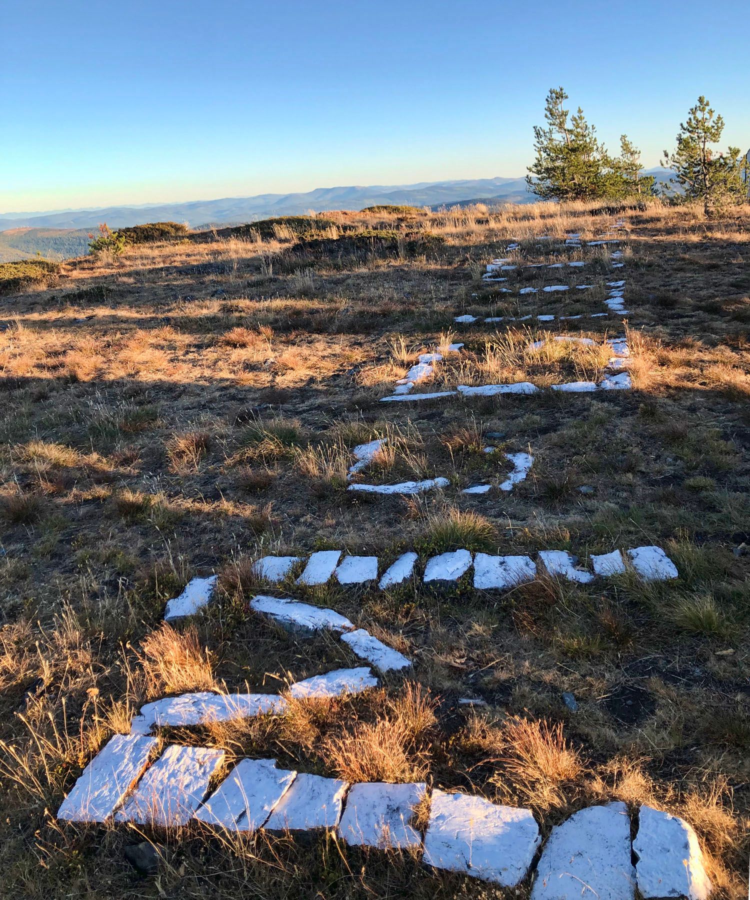
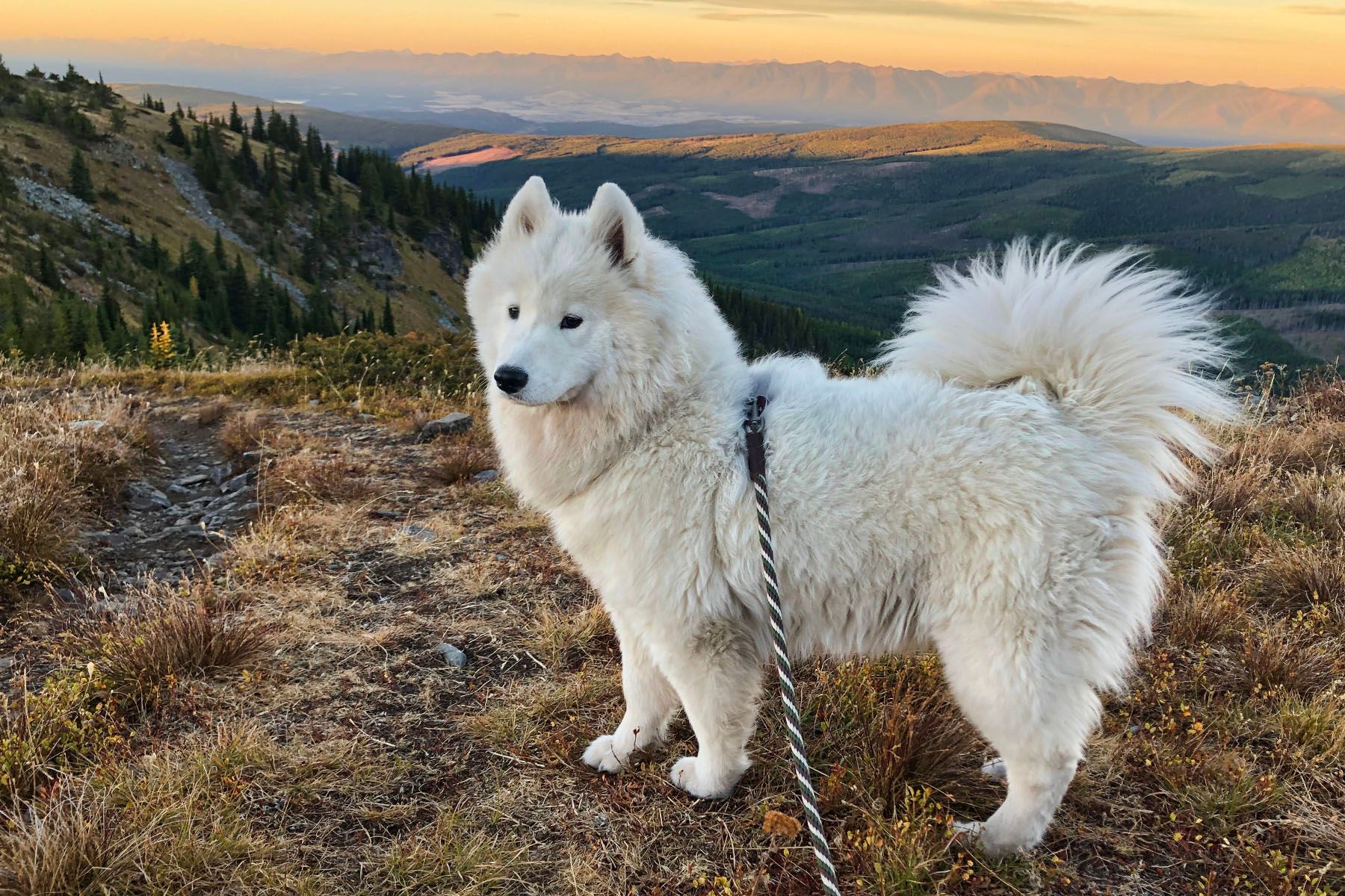
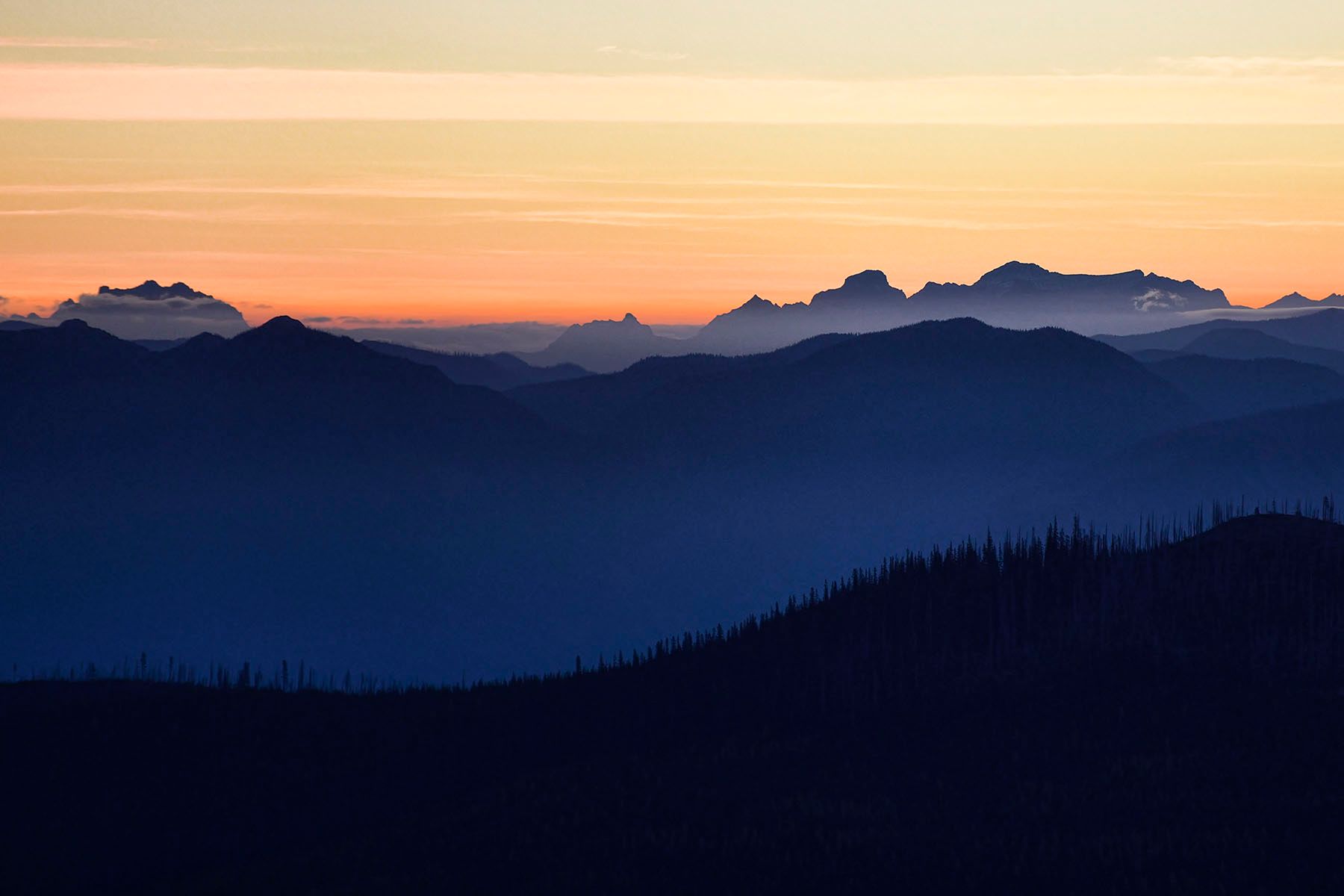
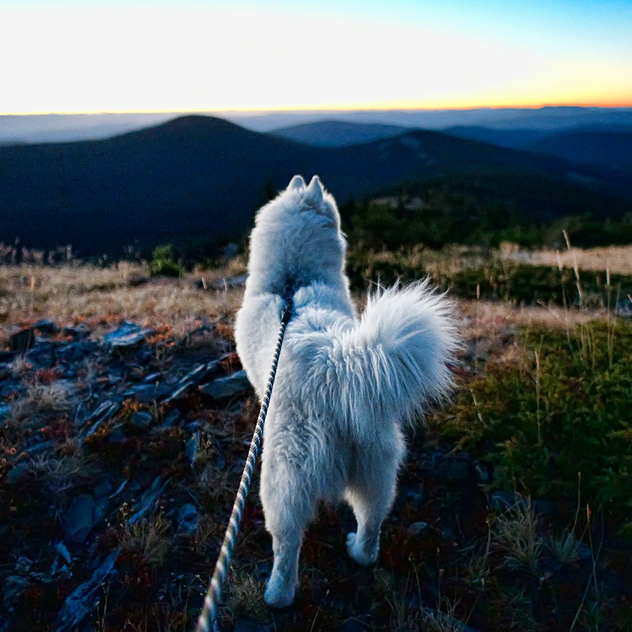
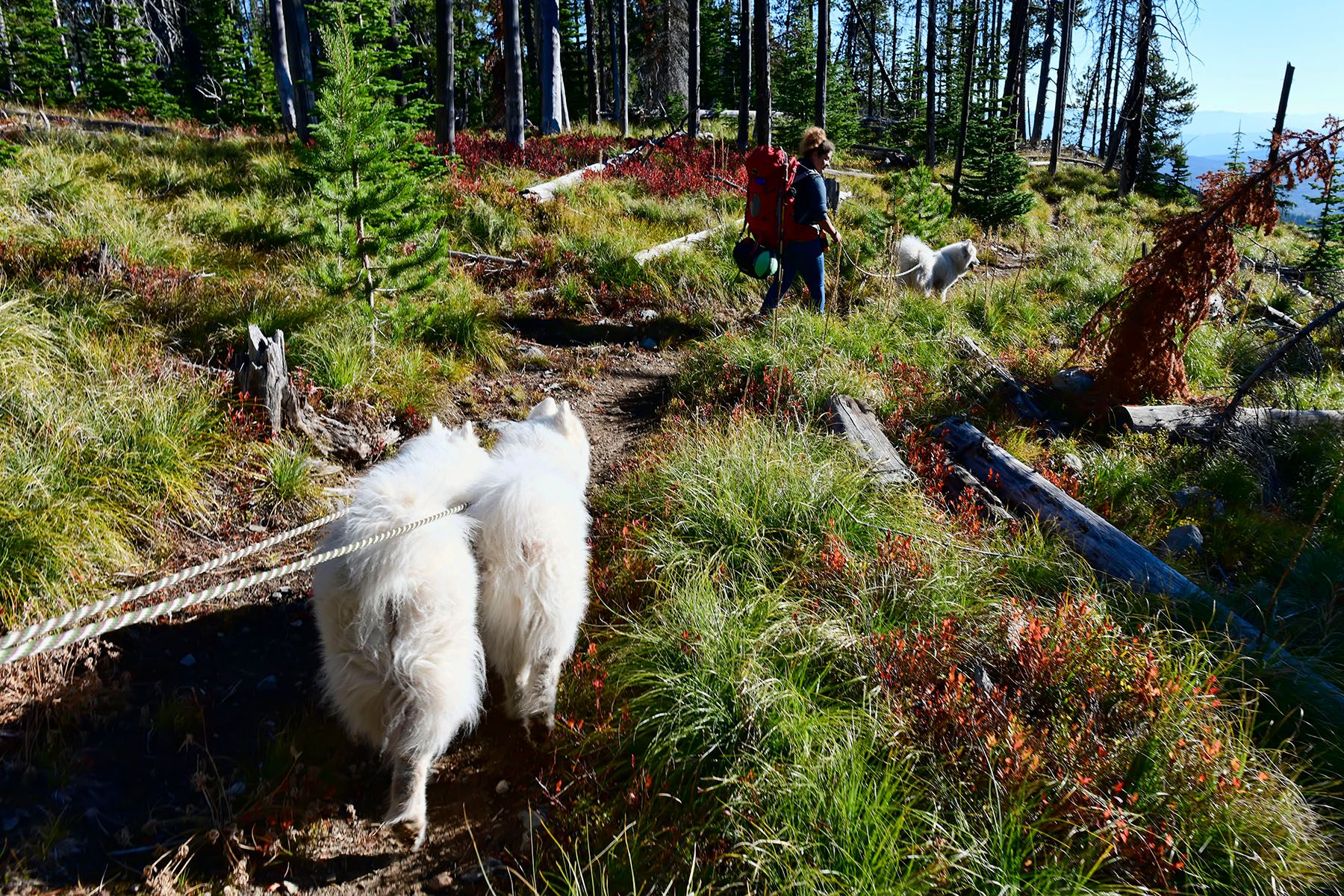
When you come out of the trees on that final stretch, there are views in all directions. Including a glimpse of the summit ahead—you can't see the lookout, but the storage shed on the east side of the summit is visible. Then the trail curves around the south side of the peak before reaching a flat grass shoulder on the west face, followed by a steep rocky final push to the top. The first hint of the destination is when you crest a ridge and see the outhouse ahead, with a horse hitching post to the left. From there, it's a couple hundred feet to the top.
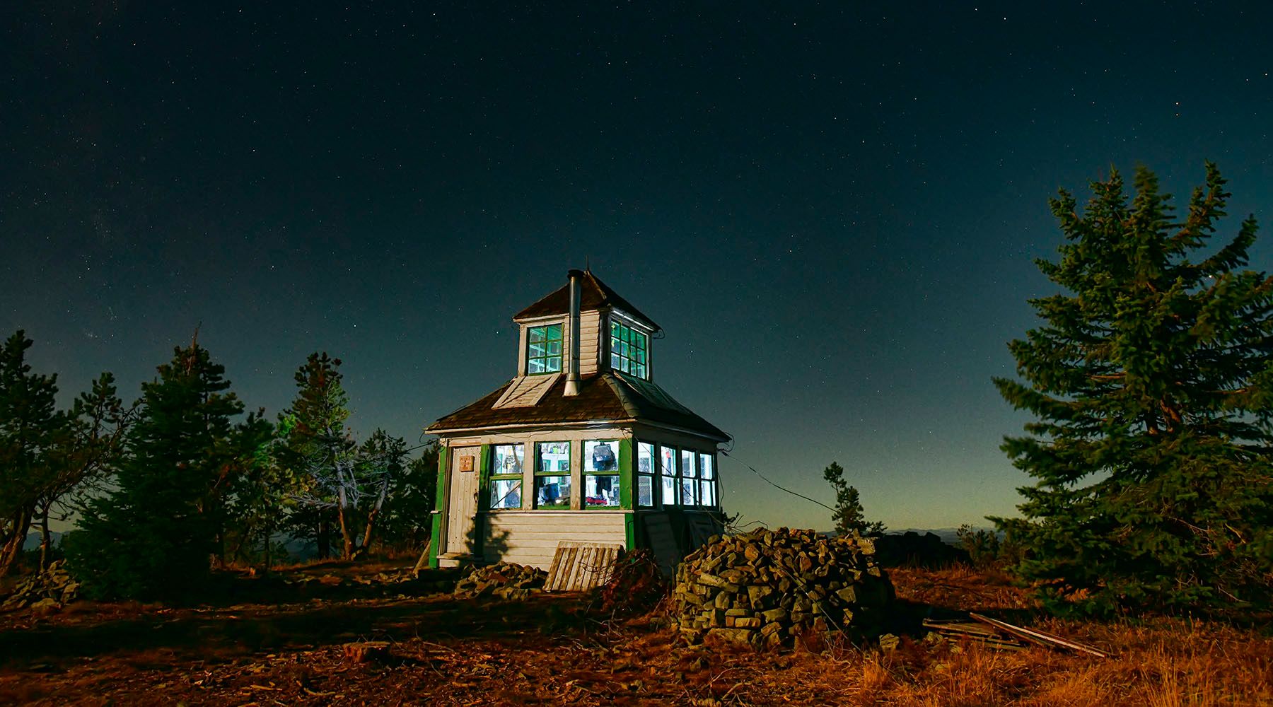
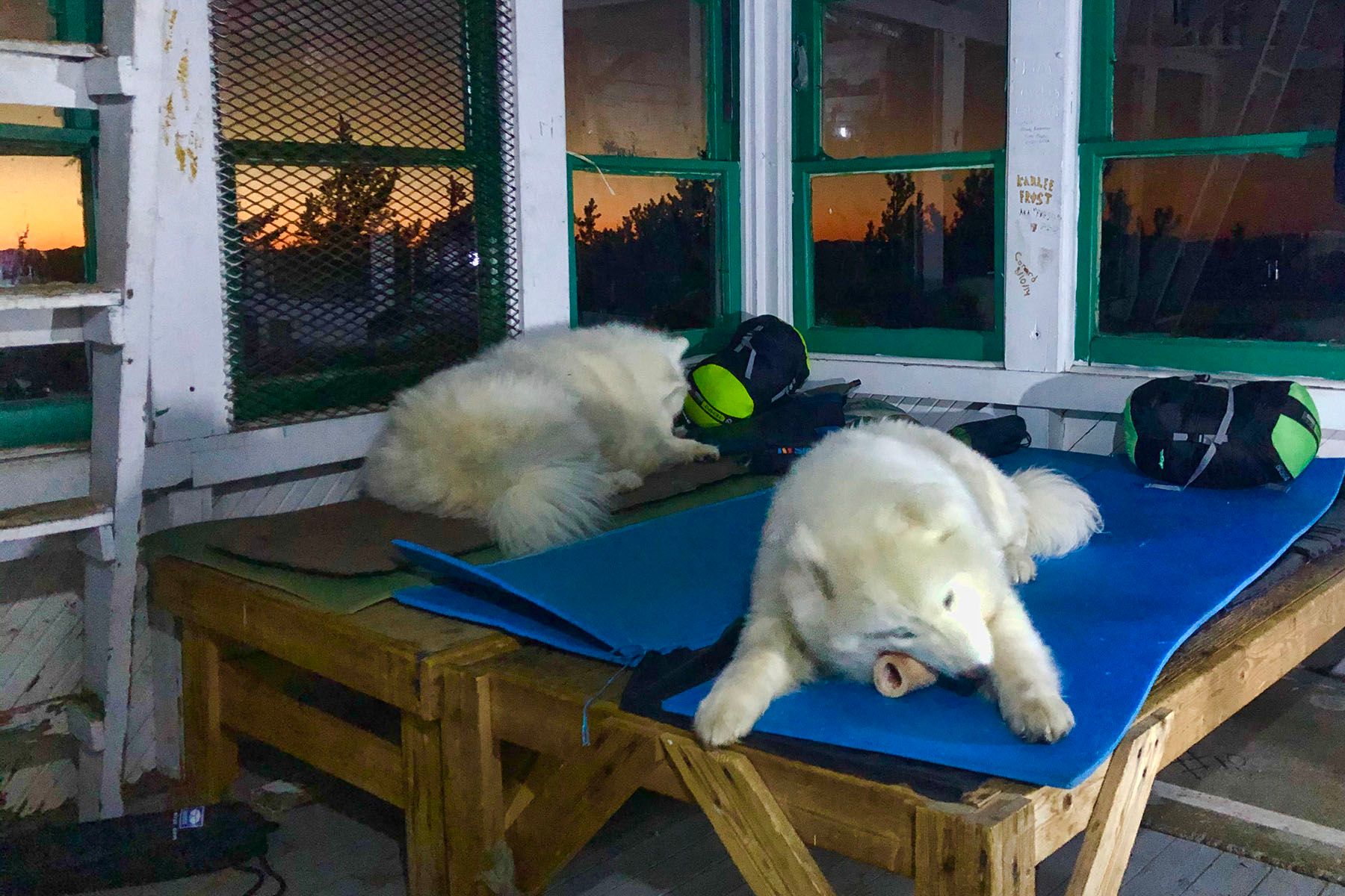
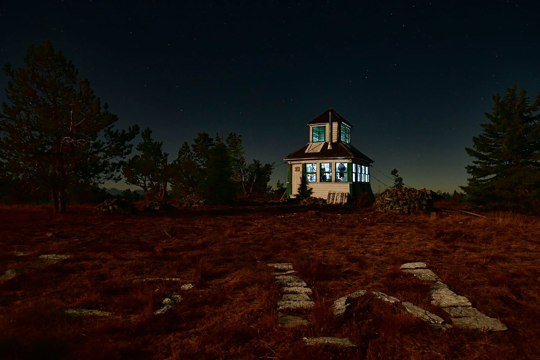
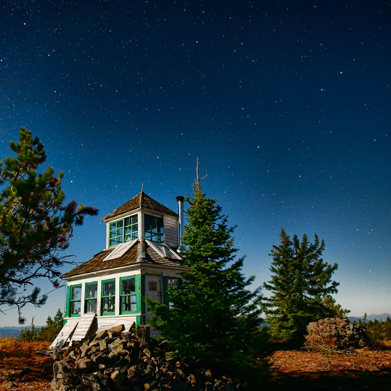
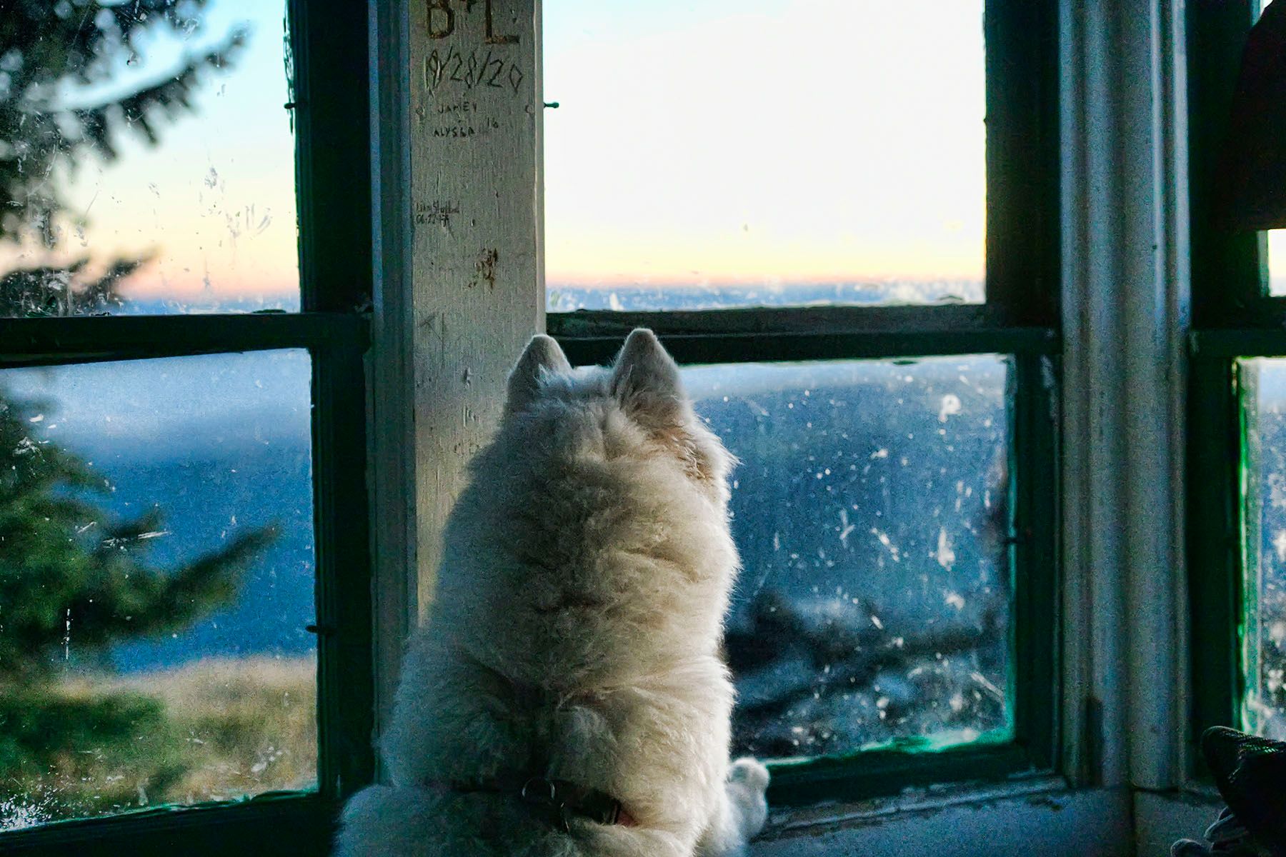
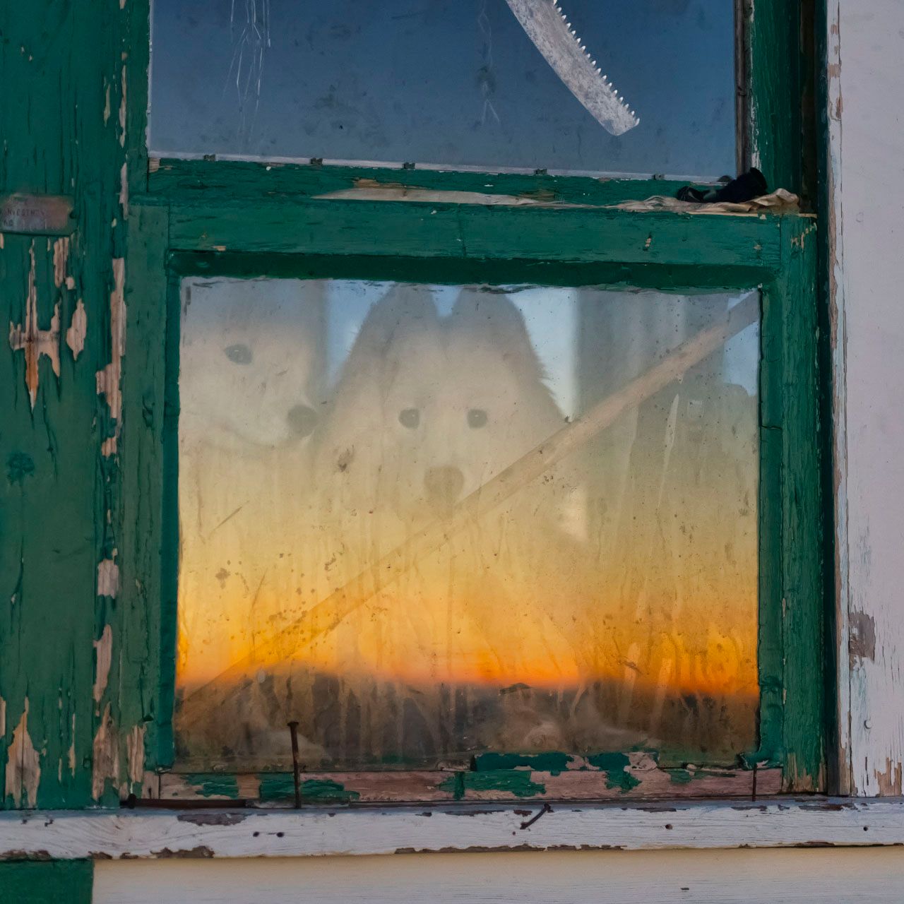
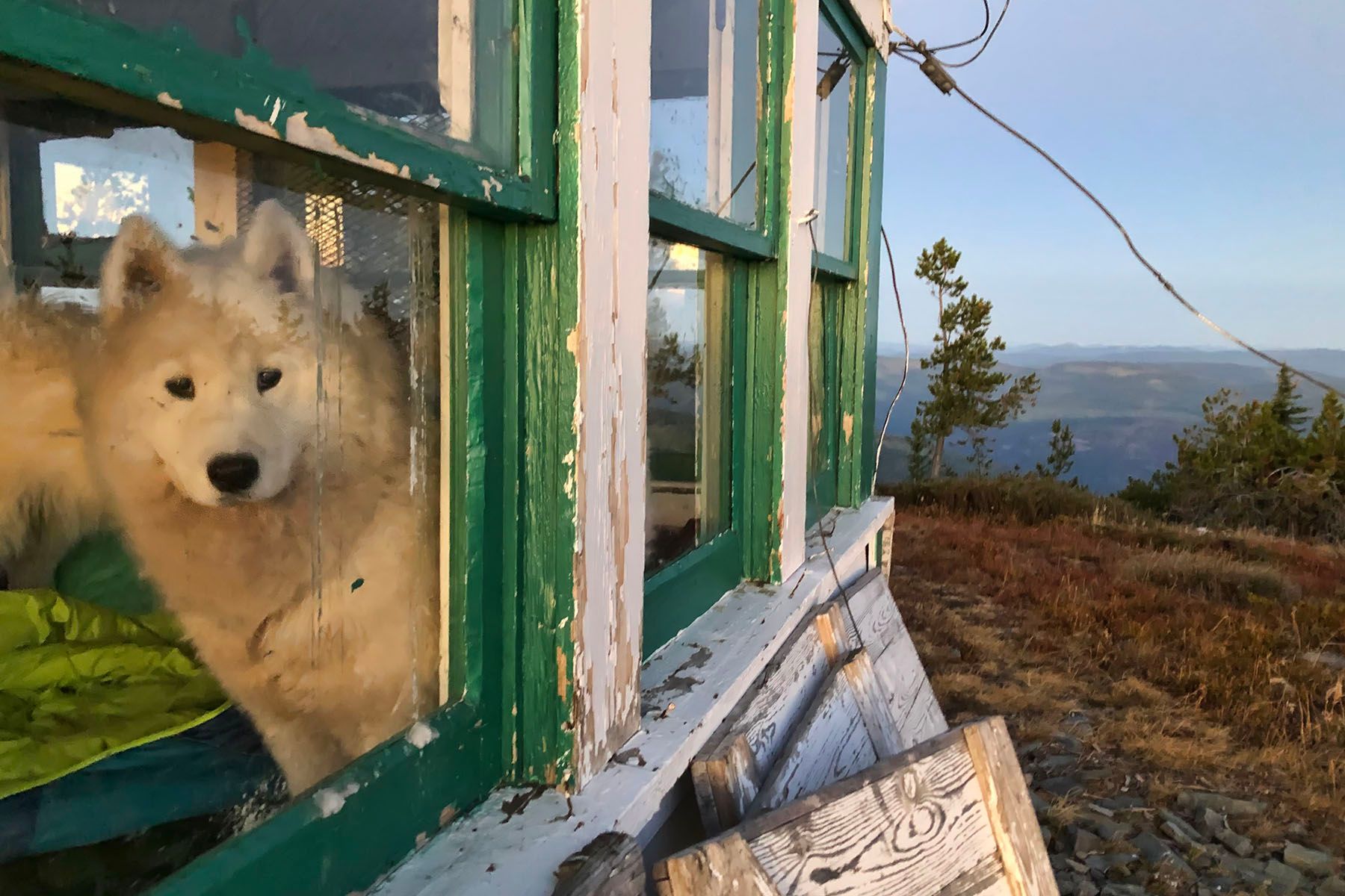
A Night at the Lookout
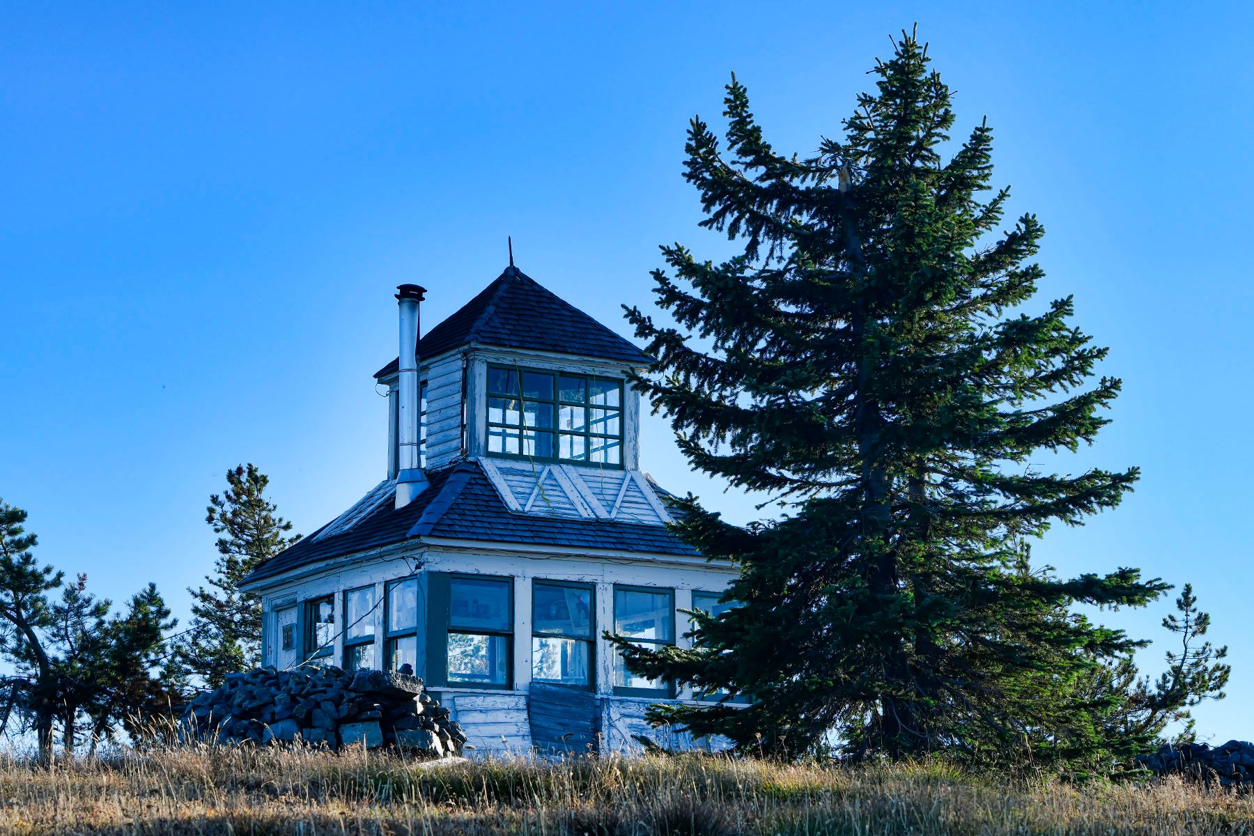
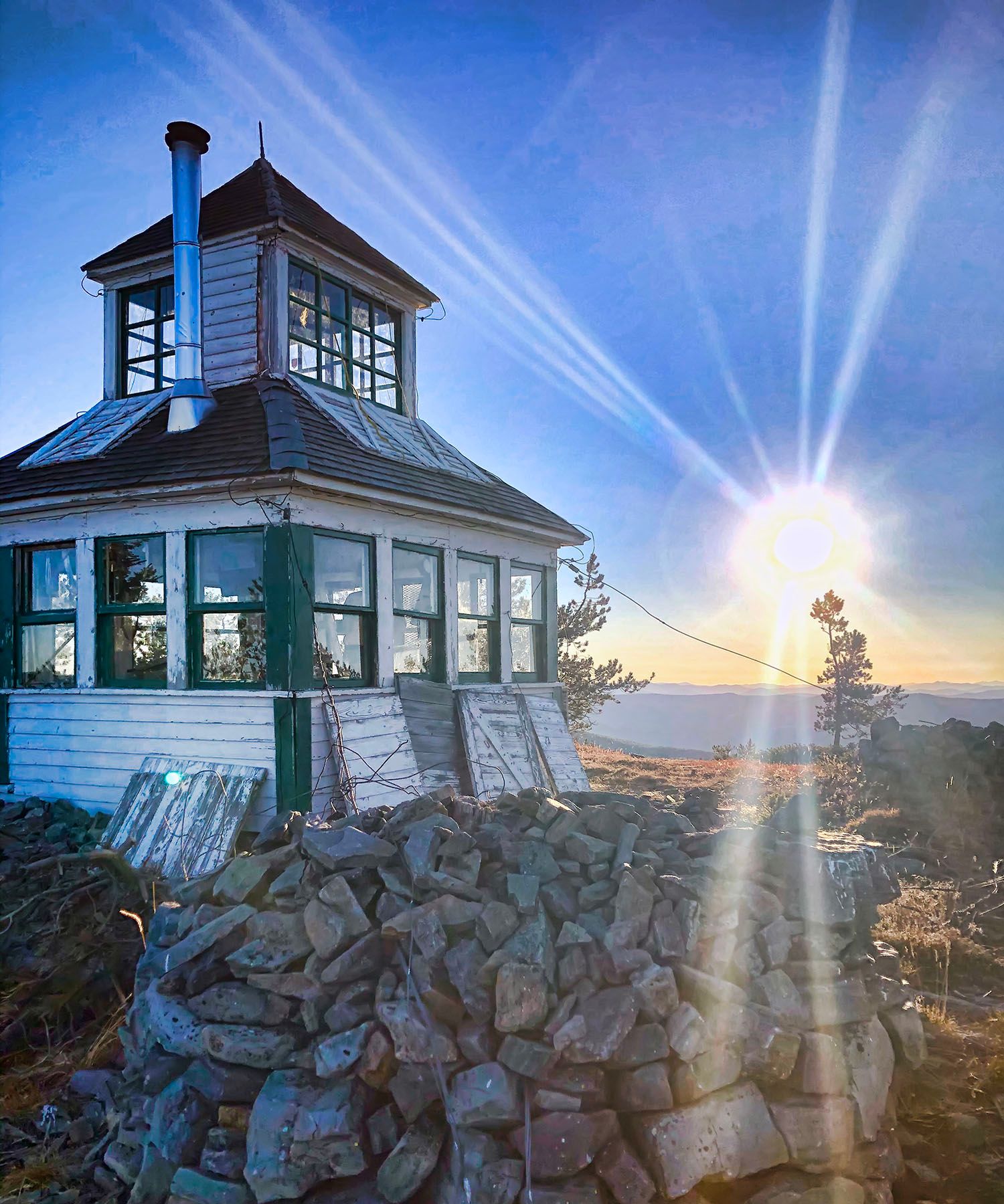
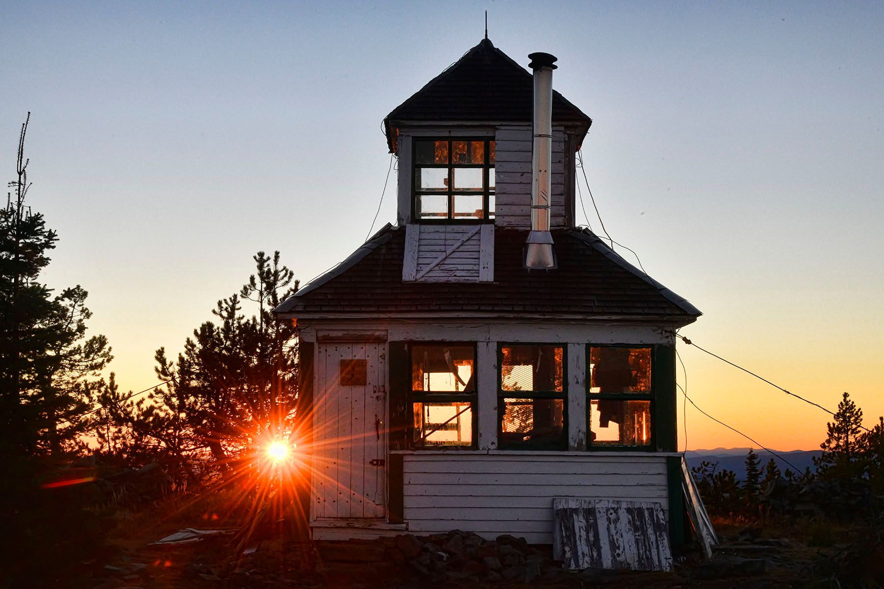
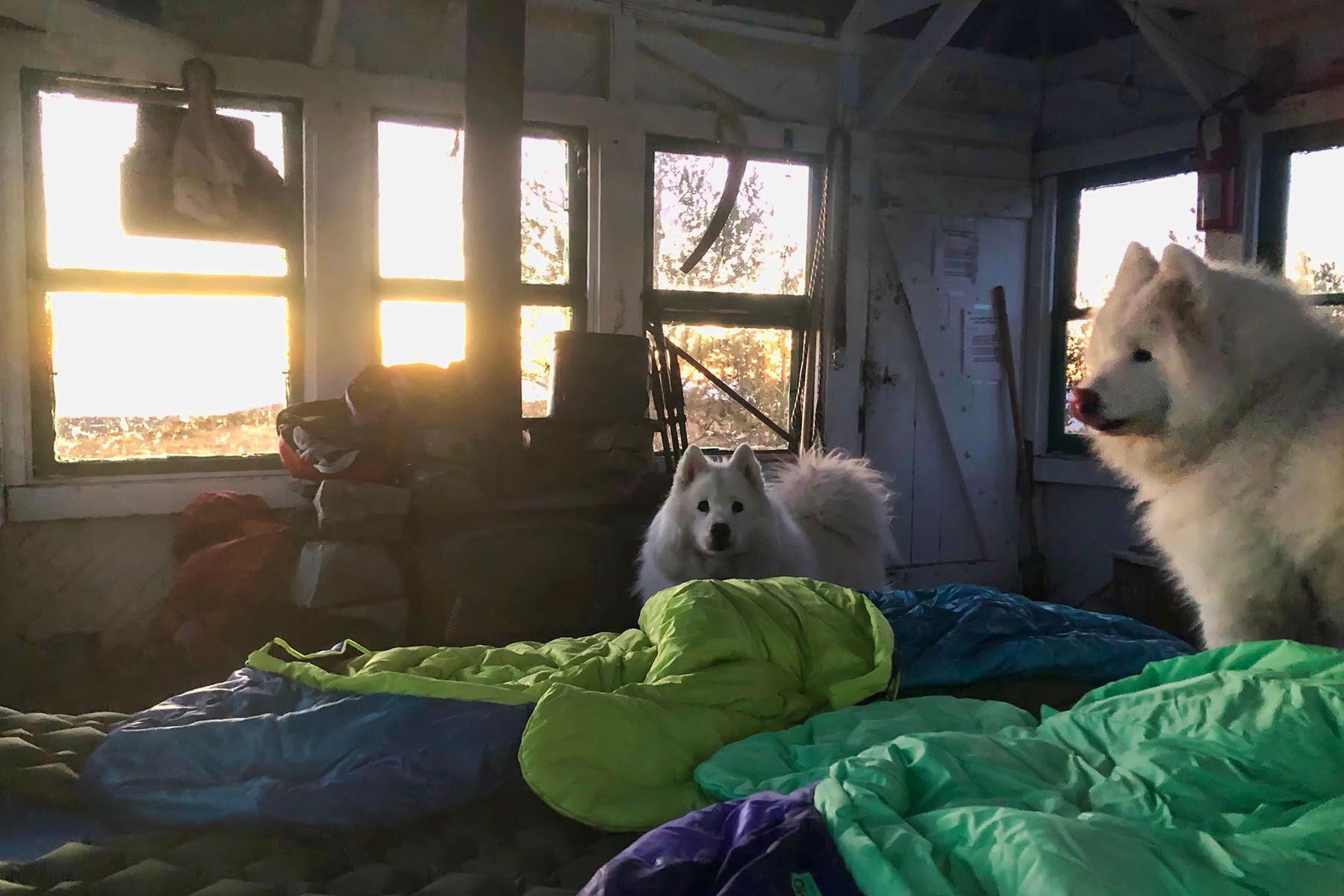
The lookout is simple, just a 12 x 12 foot wood-frame cabin surrounded by large piles of stones. It has a tiny second story viewing area with a pyramid-shaped roof, and no running water or electricity.
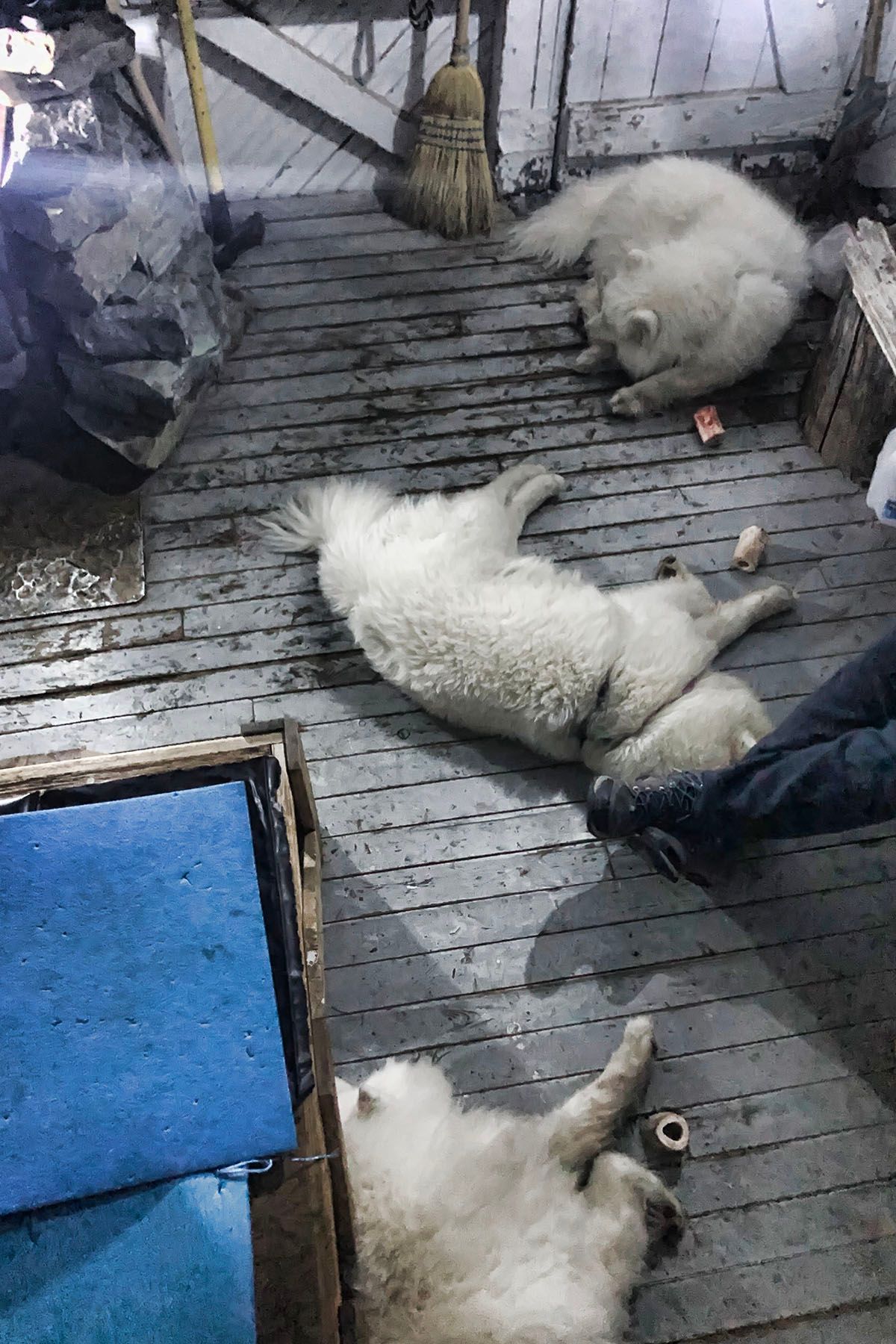
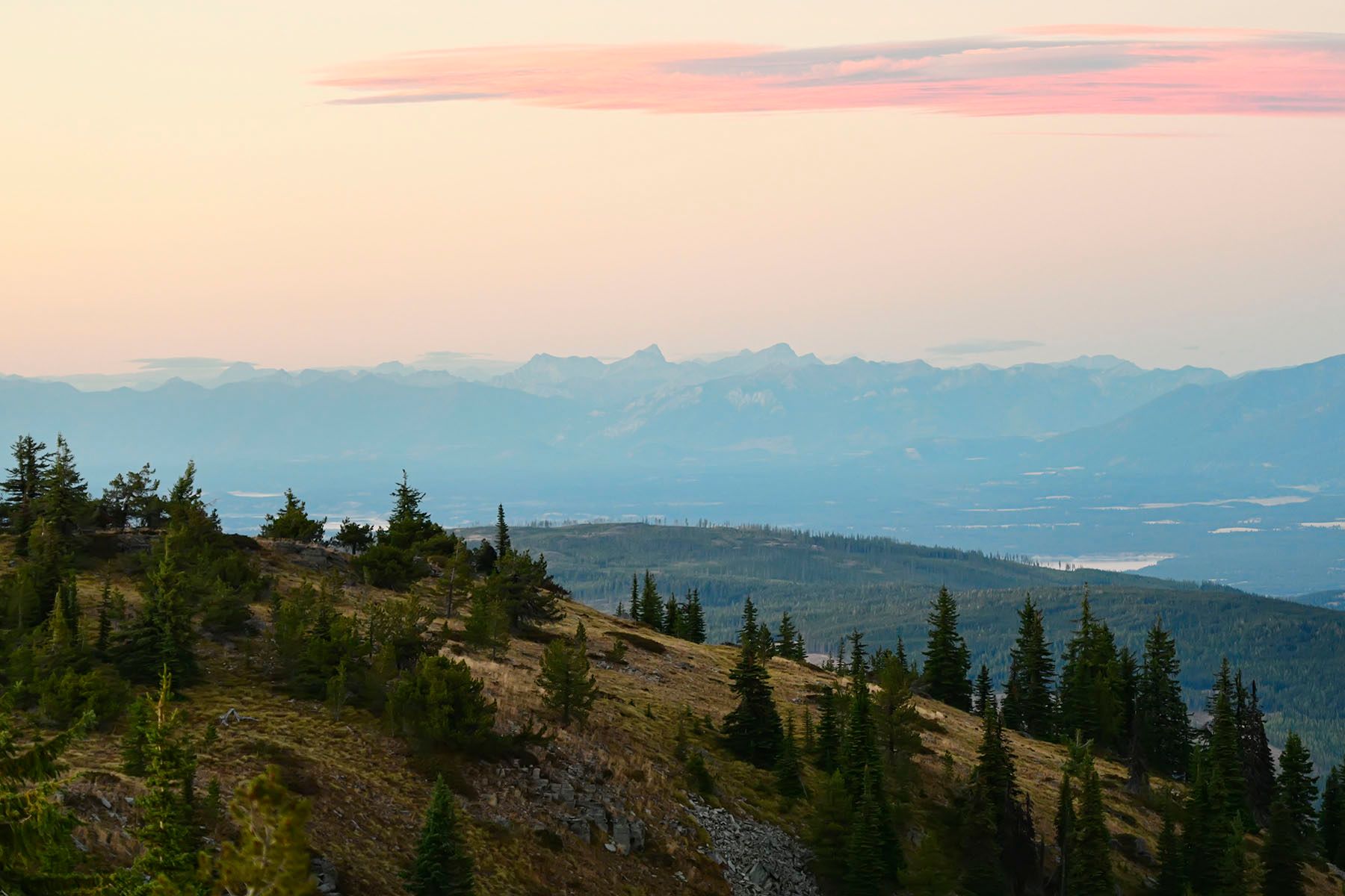
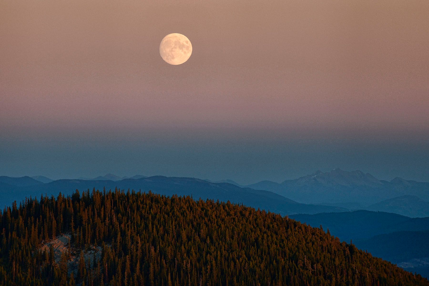
Morning on the Mountain
We were up early, taking walks around the peak. What else is there to do up there?
Getting Down
Taking the Long Way Home
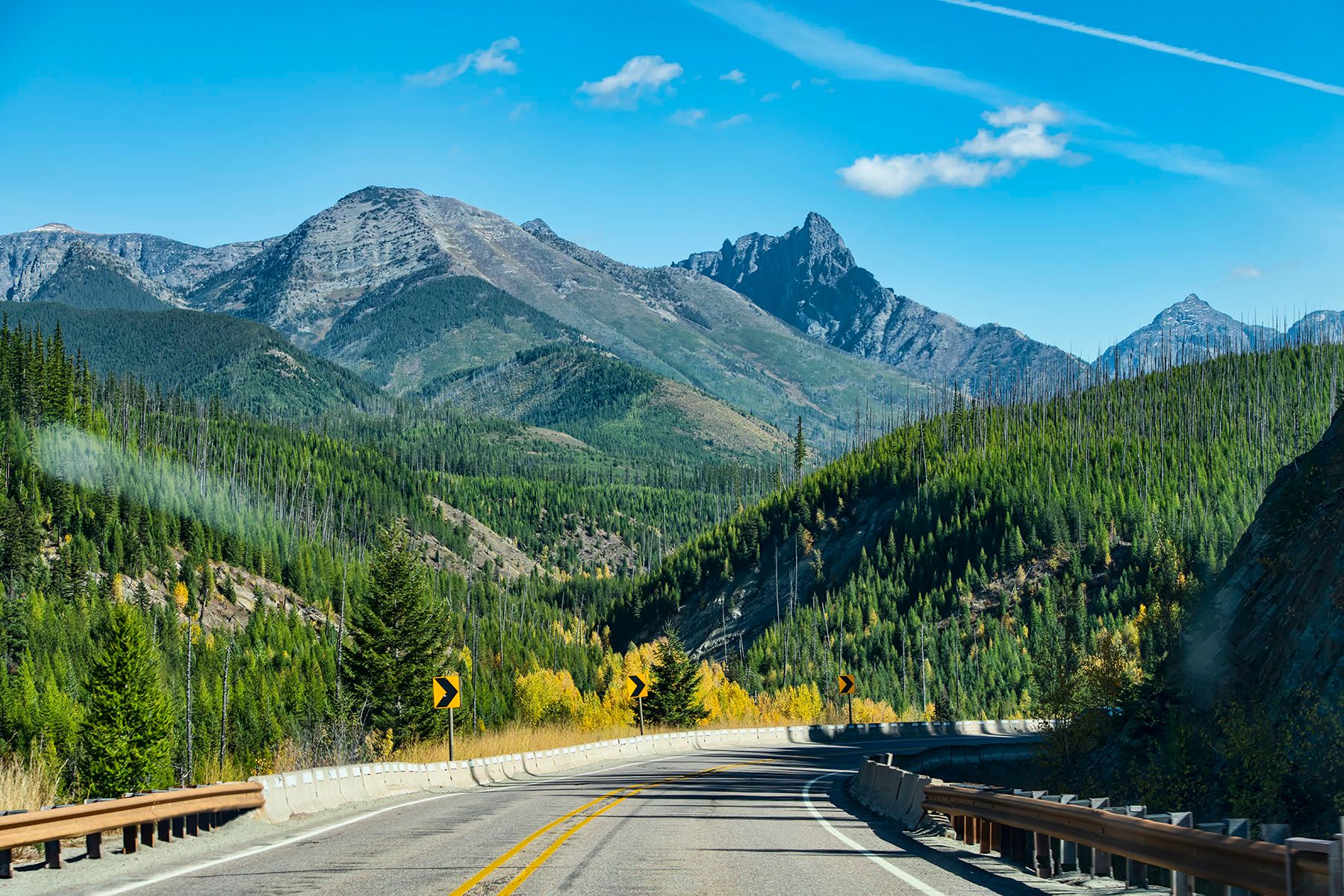
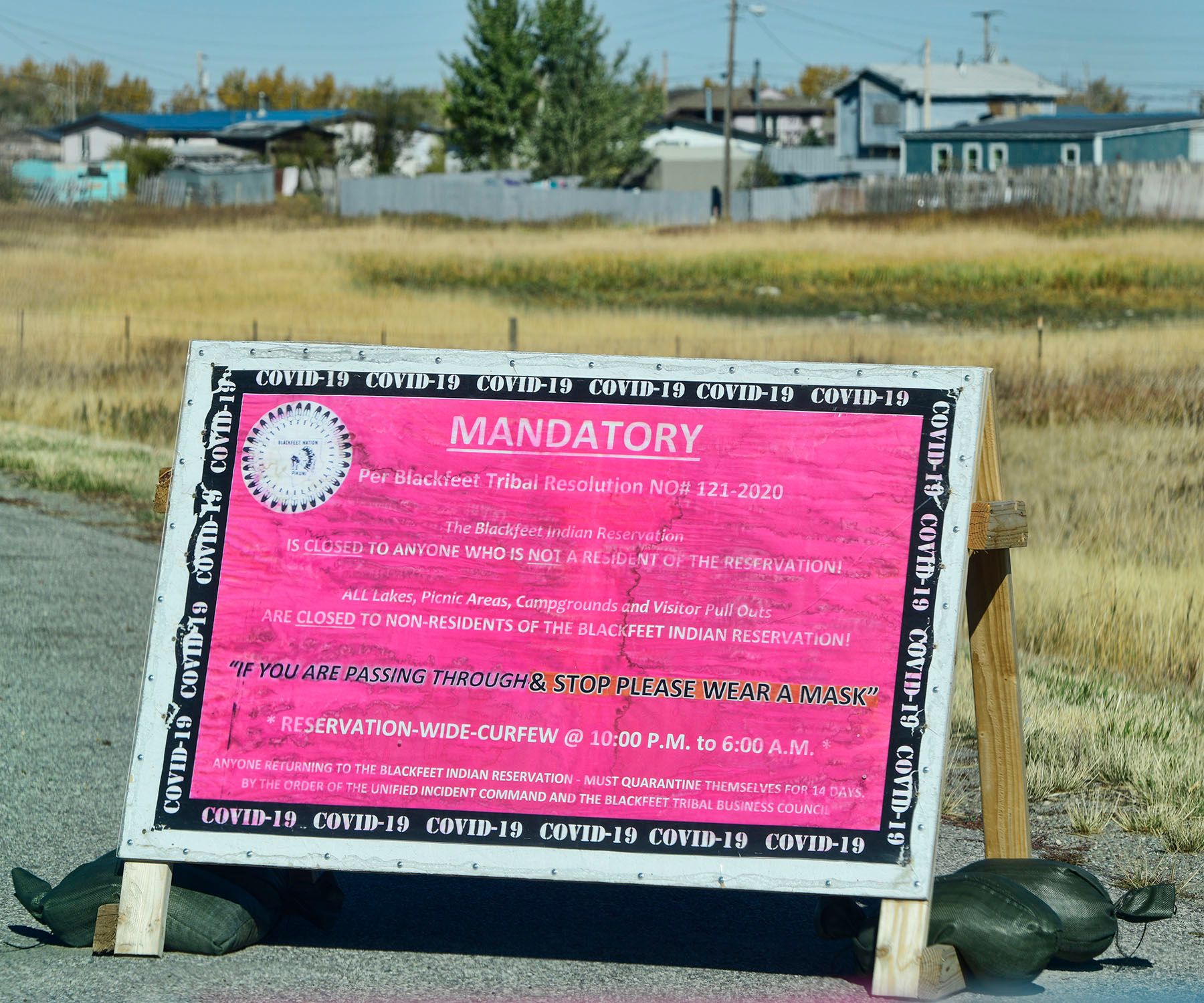
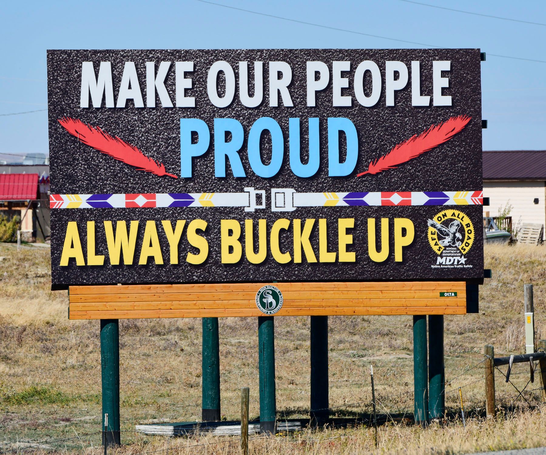
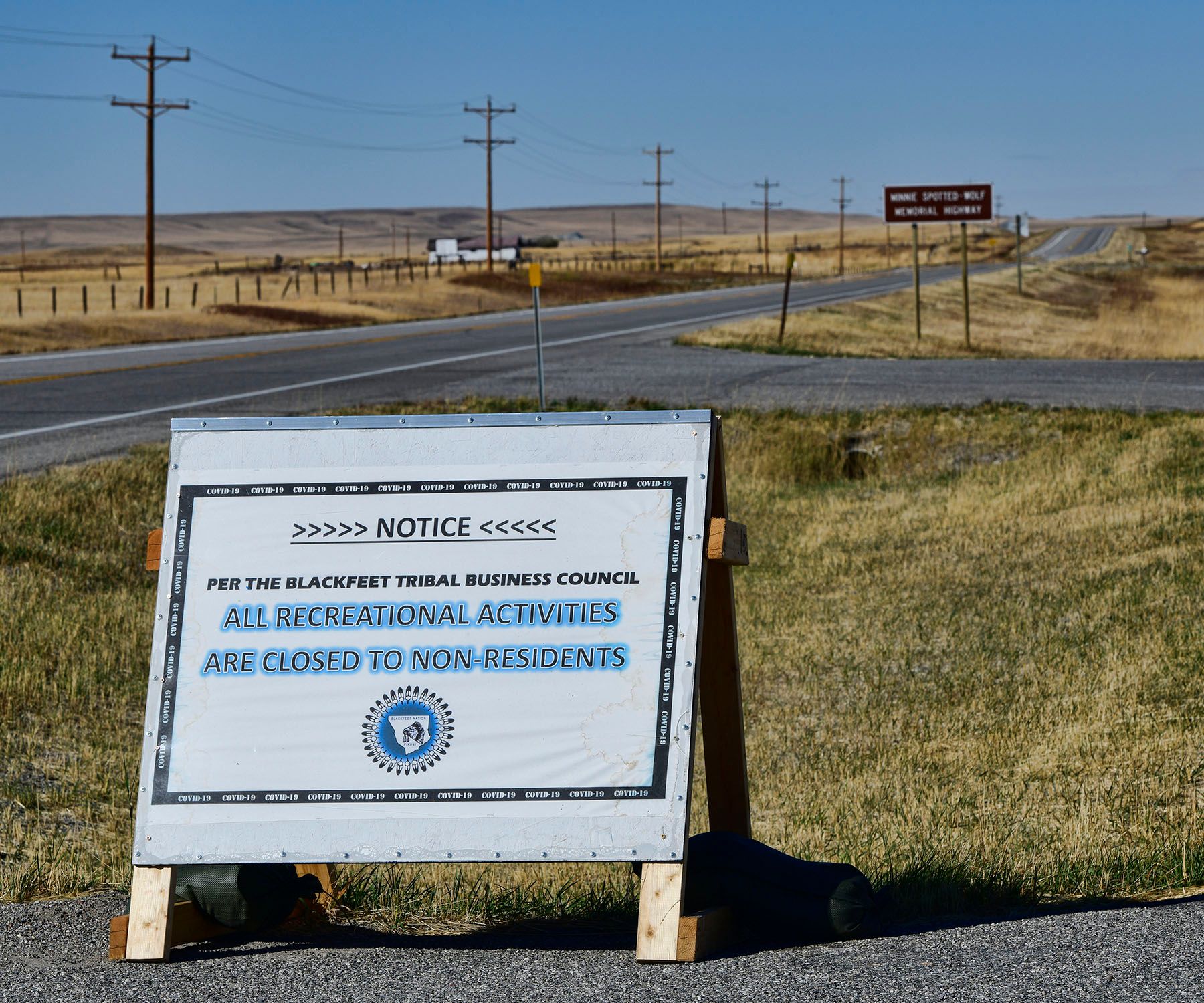
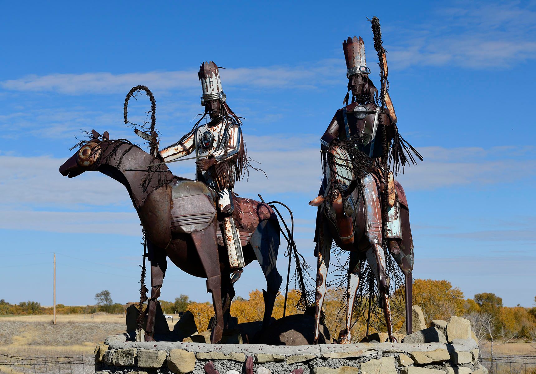
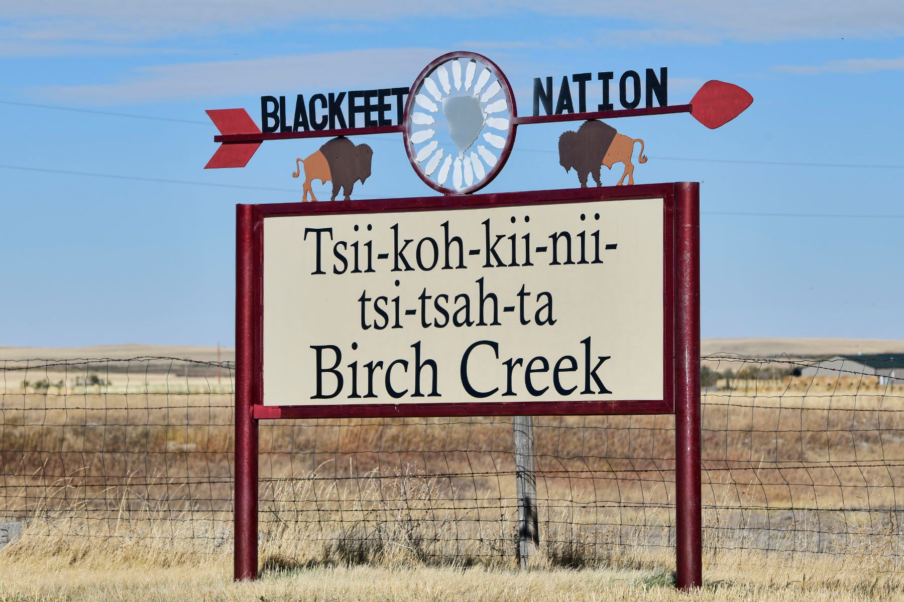
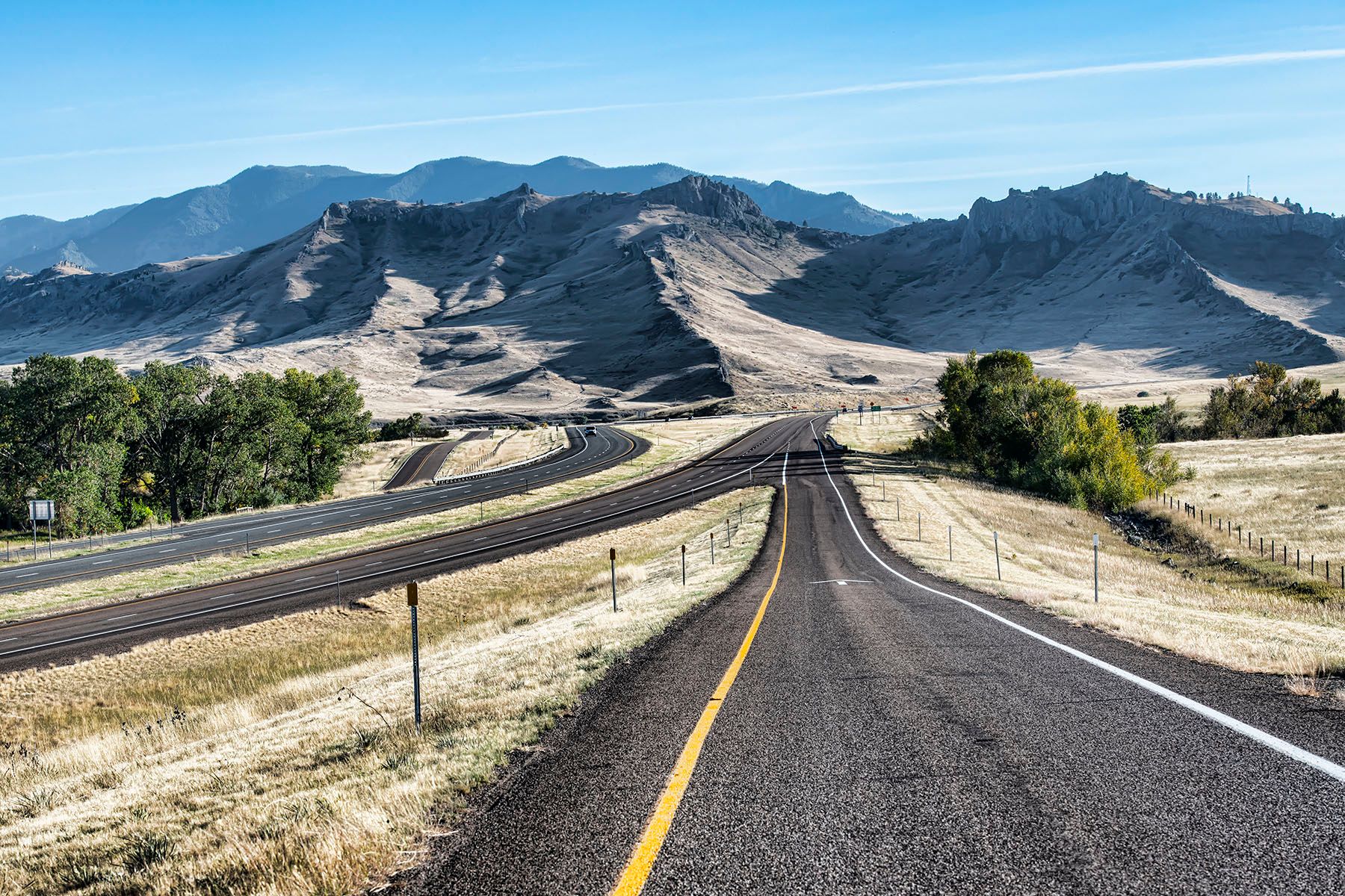
When we got to Whitefish, we spontaneously decided take a different route home. It added about 140 miles, but I got to drive on a stretch of Highway 2 that I've never experienced but have always wondered about: the stretch between Whitefish and Browning, across the south side of Glacier National Park. I've been in this area several times over the years, but I've always looped up through Glacier on Going-To-The-Sun Road (the 2nd-coolest mountain drive in the Continental US in my opinion, second only to the Beartooth Plateau). This time, we just drove east on Highway 2 to Browning, and it was a gorgeous drive.